Fellbarrow Round in the Mist!
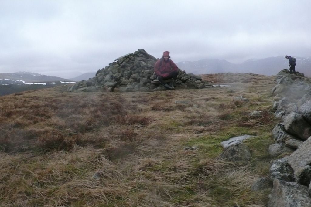
Darling Fell 391m Loweswater Fell 412m Low Fell 423m Sourfoot Fell 411m Smithy Fell 392 Fellbarrow- Mosser Fell 416m Hatteringill head- Whin Fell 385m
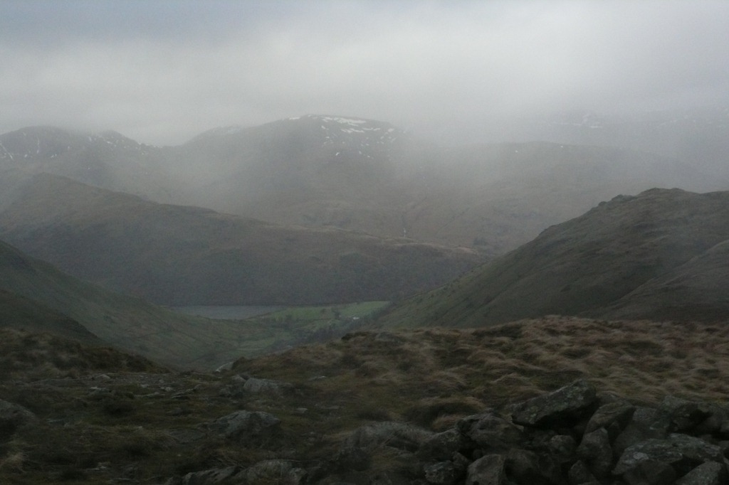
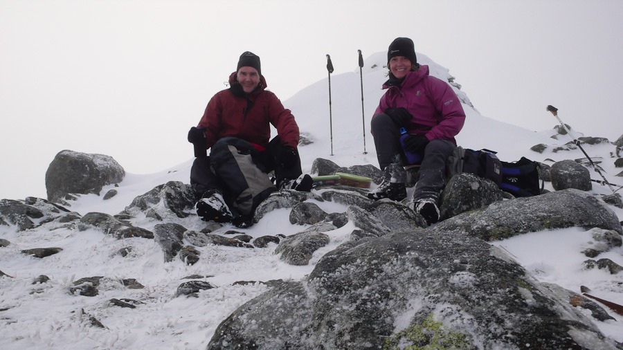
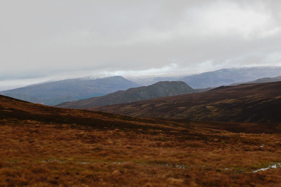
What a day after five minutes of walking we hit the mist and then had great fun using the compass and following wall all the way along the route. We just deviated a bit to the left at the end and had a very challenging walk through the boggiest most wet place we had ever been! and you would never believe it my feet were dry at the end …..what boots!! – so were Roger’s but he had his wellies on!
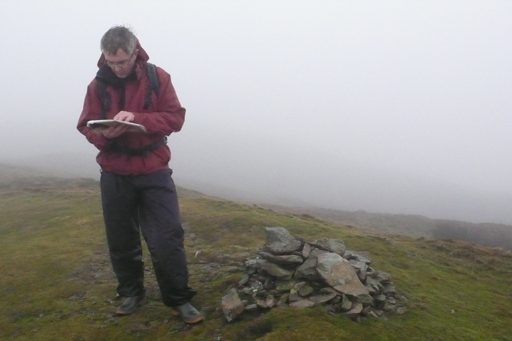 On the Summit of Low Fell
A Mountain Walk in Miniature
Mellbreak – North Top 509m Mellbreak – South Top 512m Scale Knott 338m
Still with a bad back but what a great little ridge. A Steep edge to start and then a lovely walk along the tops of Mellbreak – a bit boggy but very windy again. We dropped down to Scale Knott and then down to walk back along Loweswater. The first day that it hasn’t rained on us!!
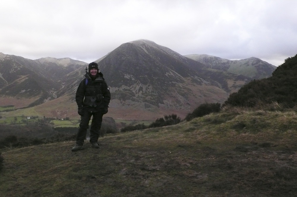 Grasmoor and Whiteless Pike in the backgroup
 Lorton Vale behind me
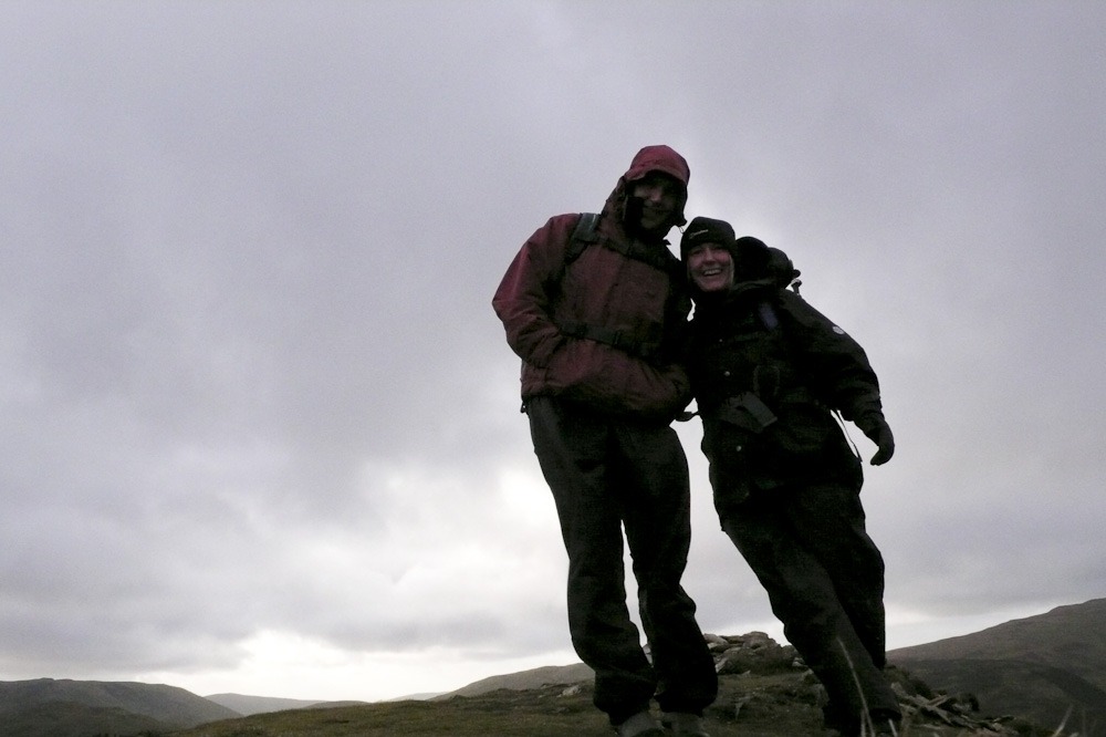 Mellbreak North Top
  Crummock Water and the Grasmoor circuit that we were on last month
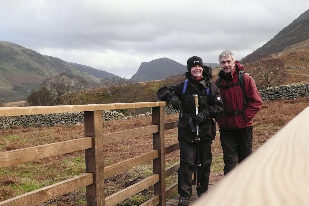 Fleetwith Pike behind us very dominant in the valley
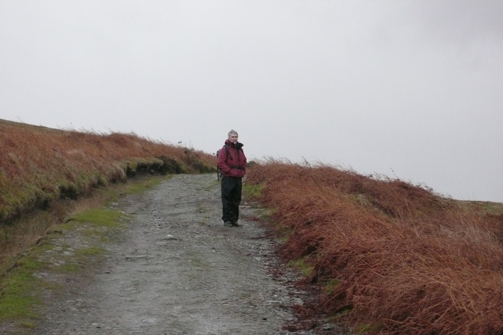
A Wet Walk up Heughscar
With a pulled muscle in my back and rain forecast we decided on a short walk up Heughscar Hill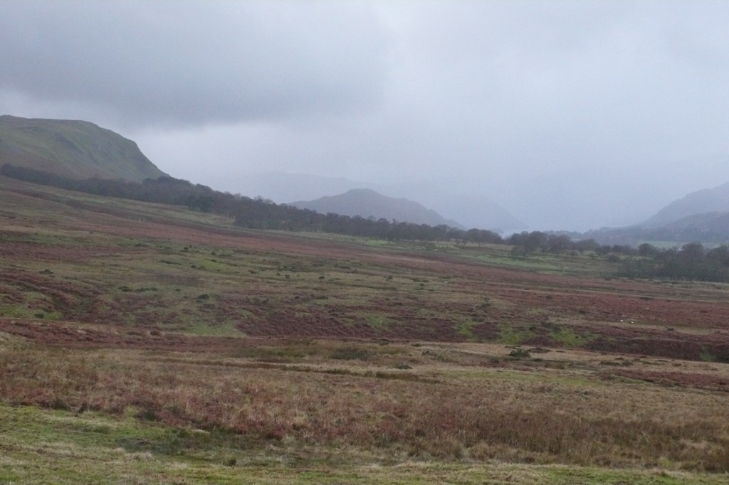
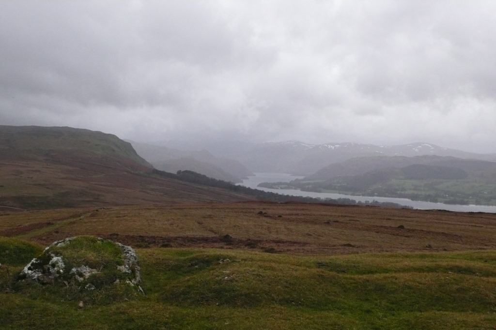 Looking down Ullswater
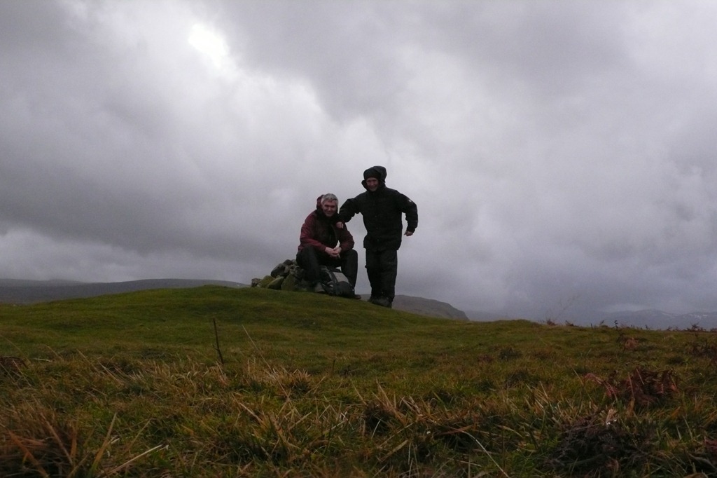 On the summit
A Very Very Windy Birthday
The Knott 739m
It was a very very blustery day, but as we had been cooped pu oer Christmas with such a lot of rain and wind we decided to attempt a short walk for Rogers birthday. The gusts did blow us along at one point and mad it impossible to stand up or walk at some points. Once the rain started in earnest we decided to cut the walk short and head back to the car!!!
We walked up Hayeswater Gill and up The Knott
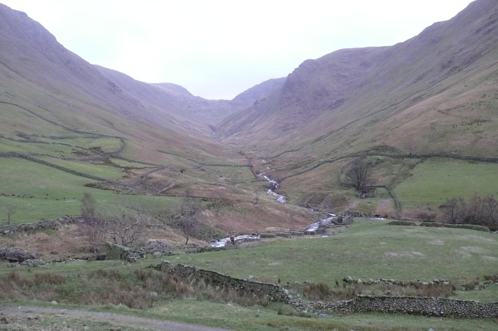 Raven crag high on the right and Threshthwaite Cove
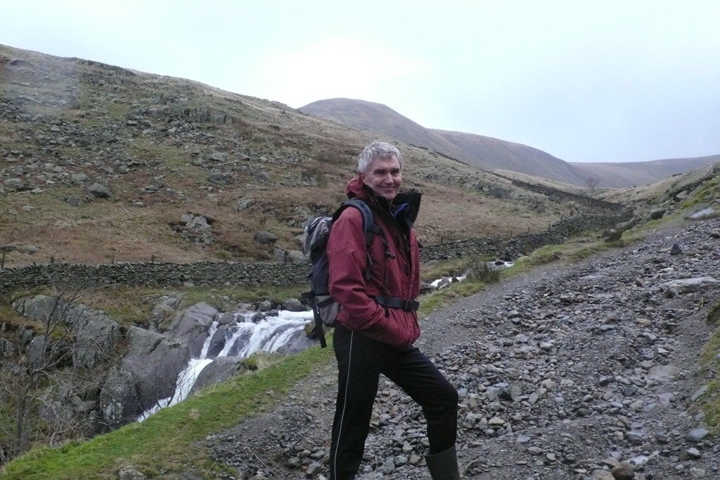 Hayeswater Gill with The Knott just above Rogers head
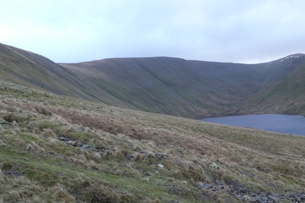 Hayeswater and High Street
 Hartsop above How and St Sunday Crag behind
 Hartsop above How and St Sunday Crag behind
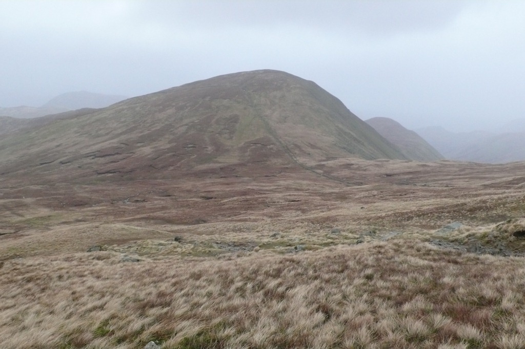 Rest Dodd
  The Knott Summit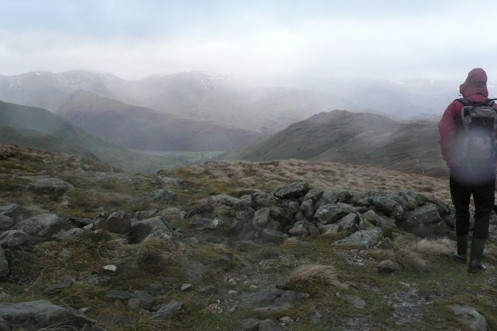
High Street and Snow–lots of it
There was lots of snow but it was very soft and the ground underneath was not at all frozen so what looked like Ice and a good place to play turned out to be not so good but even so what an amazing mountain day – the only person we saw was a man with skis on his way up to ski back down. the ridge down was excellent.
 Artlecrag Pike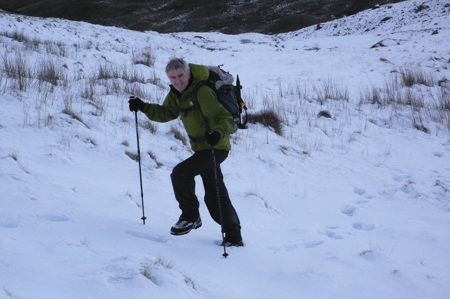
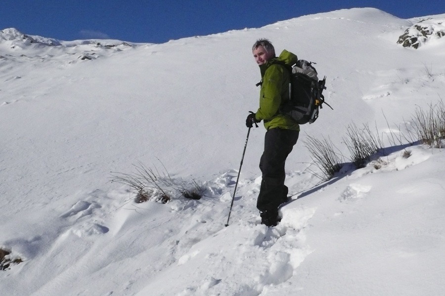
 Blea water Crag and Mardale Ill Bell
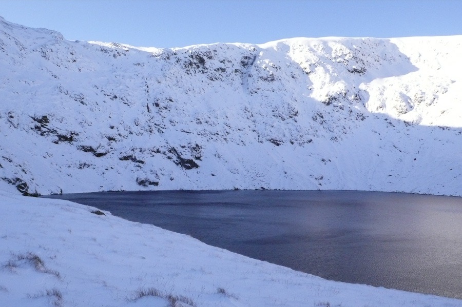 Birkett’s Gully – The banana shape in the middle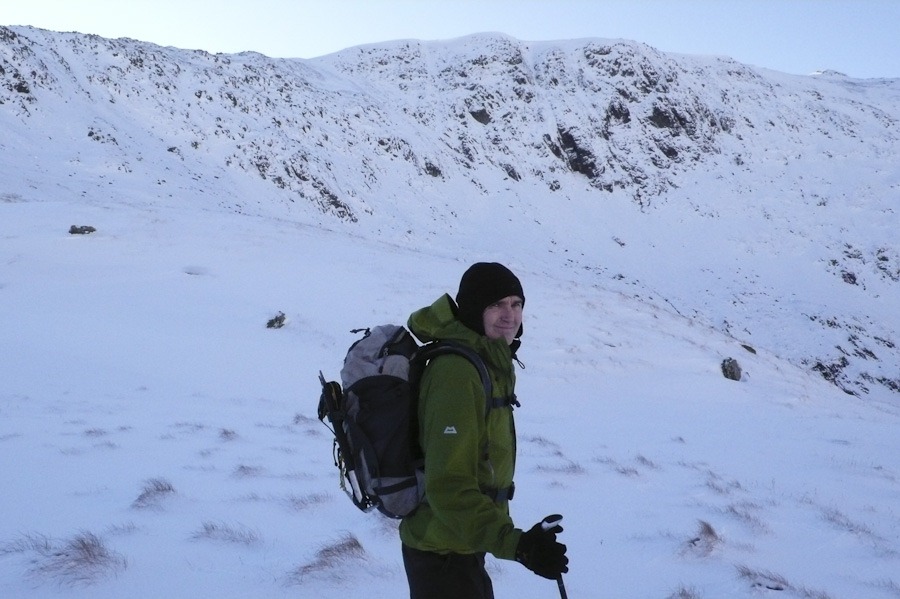

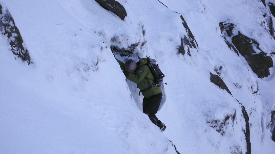

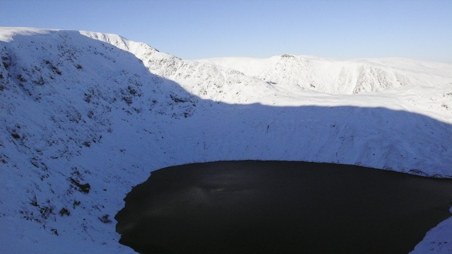 High Street and Blea Water, the ridge of Long Style and Kidsey Pike behind
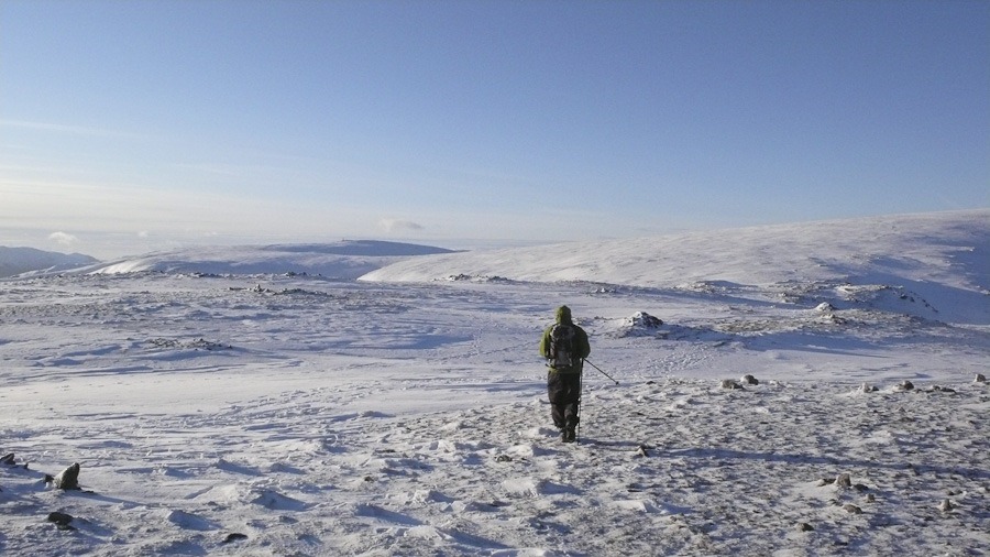 Walking from Mardale Ill Bell towards High Street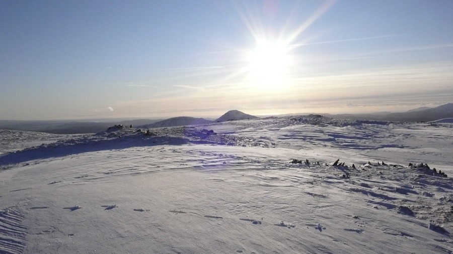
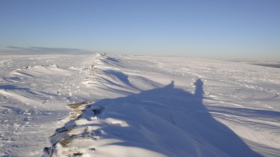
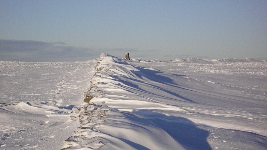 High Street
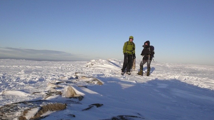 High Street Summit
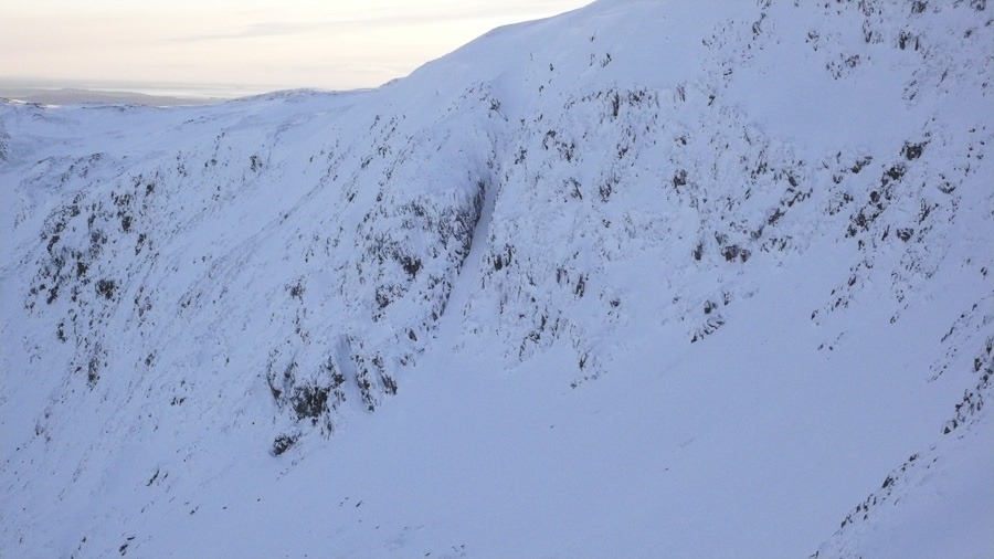 Racecourse Gully II/III
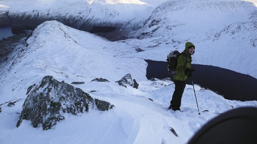 Looking down Long Style towards Rough Crag
Barrow from Braithwaithe
Barrow 455m
A short walk as the day was dark and wet. I have my new boots and yeti gaiters which were very good but I am sure we will have a better testing soon. We headed up Barrow and then dropped down to walk down Stoneycroft Gill
 Roger with Barrow behind
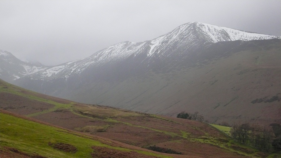 Grisedale Pike
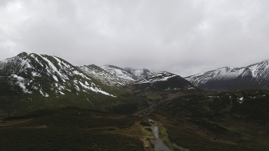 Looking towards Eel Crag and Crag Hill with Outerside in the front
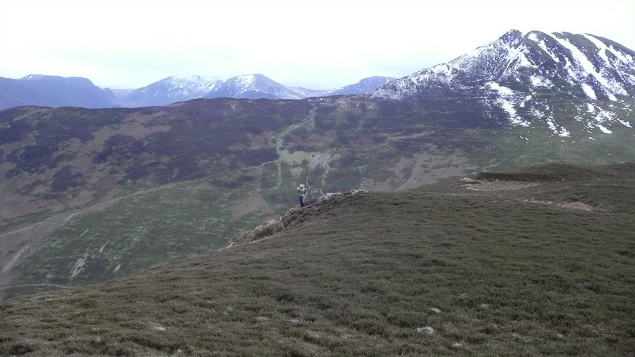 Causey Pike on the right
Abandoned Fairfield Horseshoe
It was supposed to be light showers but after and hour of clag, rain sleet and cloud we called it off and dropped down to the valley and headed back to Ambleside!

Geal Charn and Deep Snow
Geal Charn {m} 926m
The forecast was to be windy but it was not as windy as we thought it might be. We set off on our bikes up the track which went up Glen Markie. As we progressed there was more and more snow and icy puddles to ride through. Once we could ride no more we left our bikes and made our way over heather and through soft snow up stream to the bridge, after the bridge we went back down stream and followed the piper’ burn up the hill to a gate in a fence. A lot of rough heather rocks deep snow later we came to Lochan a Choire. It was really beautiful but much harder going than we anticipated as there was so much more snow than we expected and it was so soft. Once we headed up from the Lochan the going go a bit easier. We saw loads of ptarmigan and a mountain hare. The summit plateau was fairly flat. By now the sun had gone and the visibility was poor. the bearing led us down to the ridge of Bruach nam Biodag which we followed to the fence and eventually saw our footprints and followed them back to the stream. Decision either a very cold paddle or a kilometre to the bridge and back. We went for the paddle – seriously cold!! got to the bikes and headed back. Just about got the the car in the fading dusk. A good day but a tiring day.
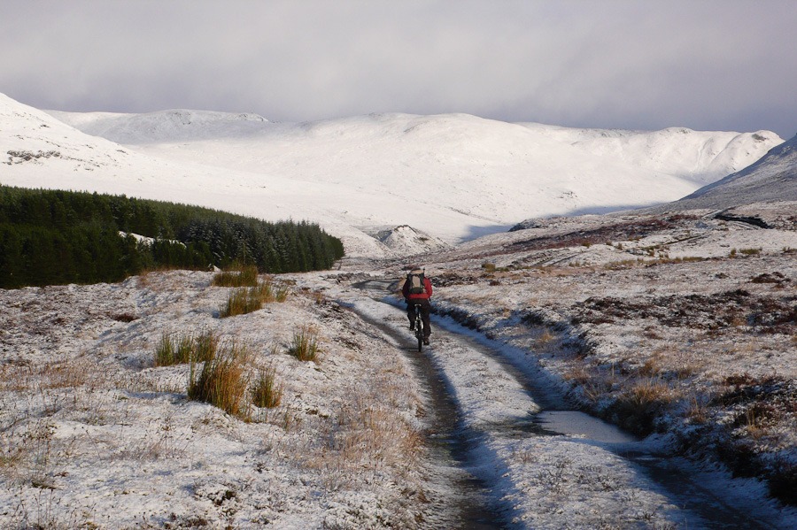 Riding up Glen Markie
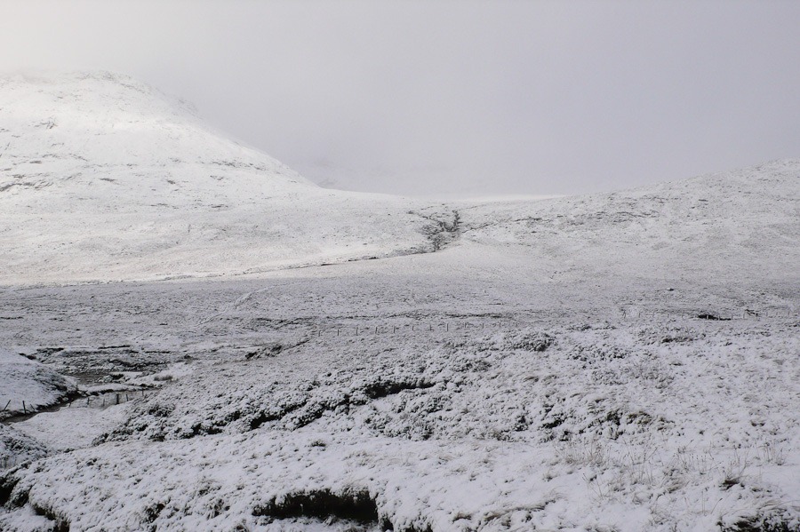 Piper’s Burn and Beinn Sgiath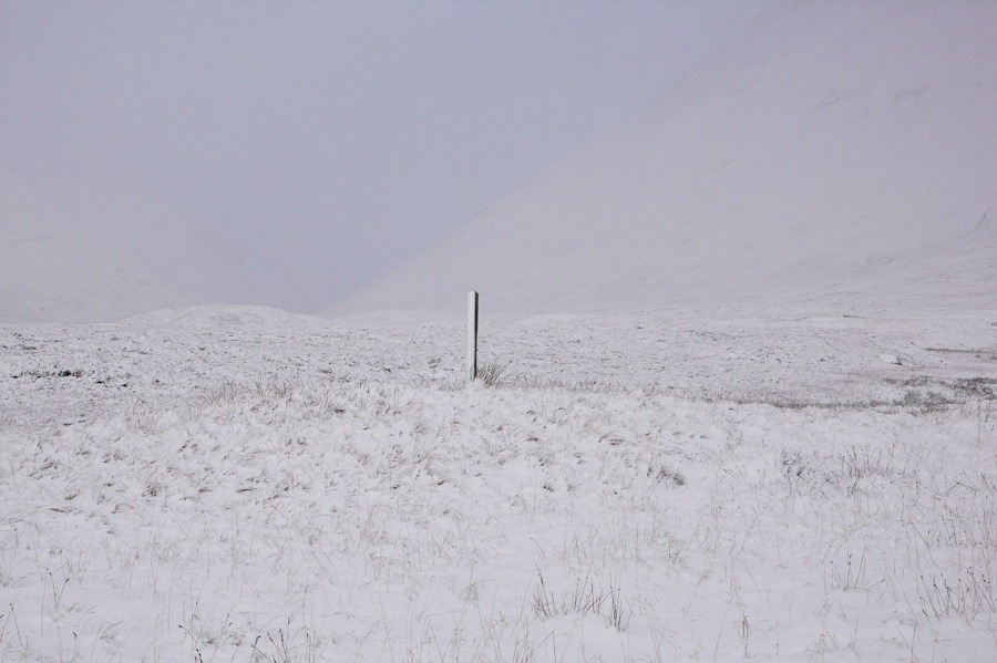

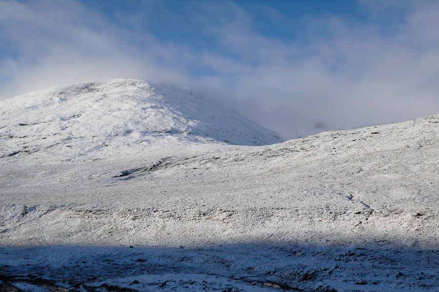 Piper’s Burn and Beinn Sgiath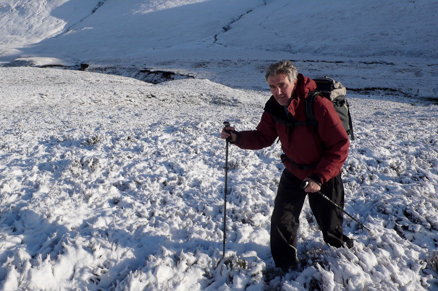
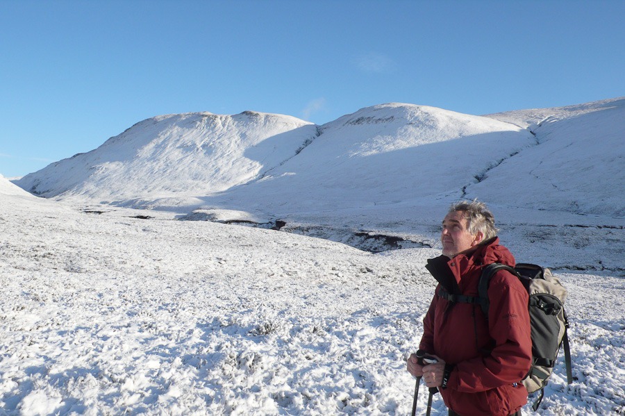 Looking across Glen Markie towards Benn a Chrasgain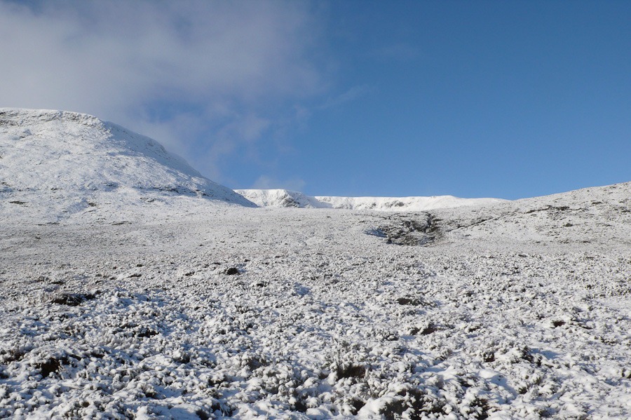
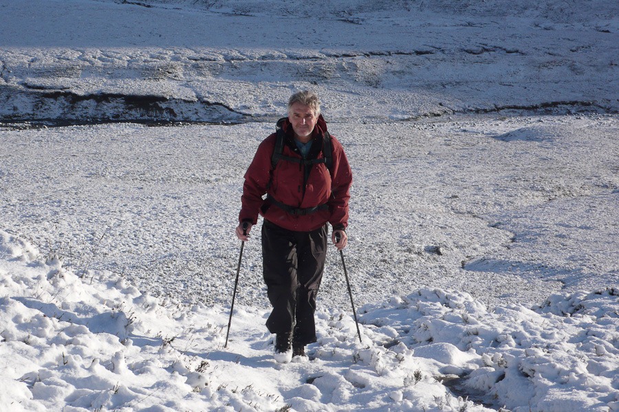
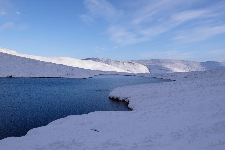 Lochan a Choire
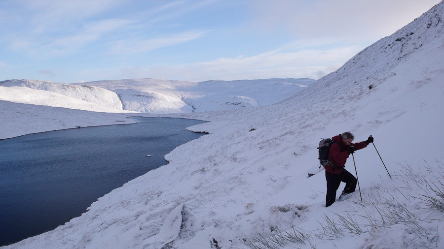
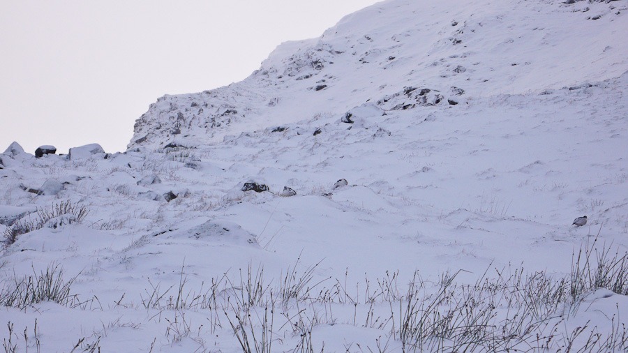
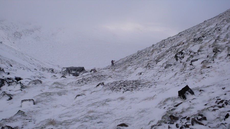

 Geal Charn Summit
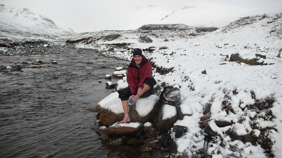
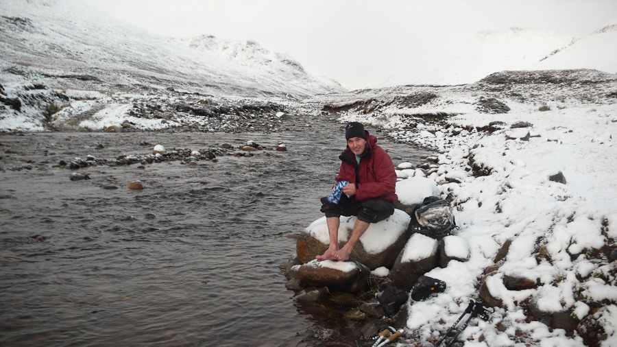 Markie Burn
The Fara and the Chasm
The Fara 911m © 5 1/4 hours
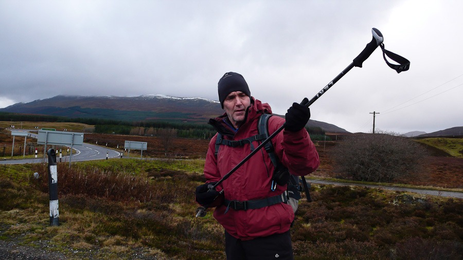
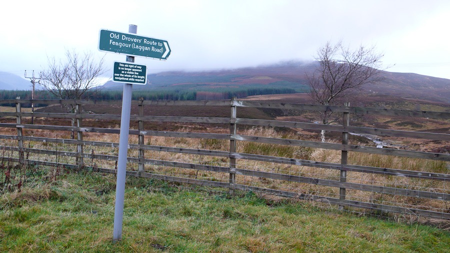
The forecast was a worsening one really but we thought that we would set off and see how we went. It was very windy by the car but as we set off and headed up the road to the start of the walk. As it happened the wind wasn’t as bad as we were expecting although as we approached the top of The Fara there was some wicked hail hitting our faces. The had to paddle to cross a stream and then heading up a made up track…..then heathery ridge to the summit. We then followed the remains of a fence down to look for the Chasm…..we went a bit wrong but after a detour we got the top of the Chasm – which was quite dramatic but very difficult to walk down, slippery, loose, boulders, with hidden holes! after that we followed a stream down back to the start.
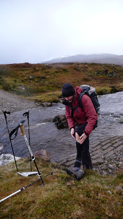
Crossing The Allt an t Sluic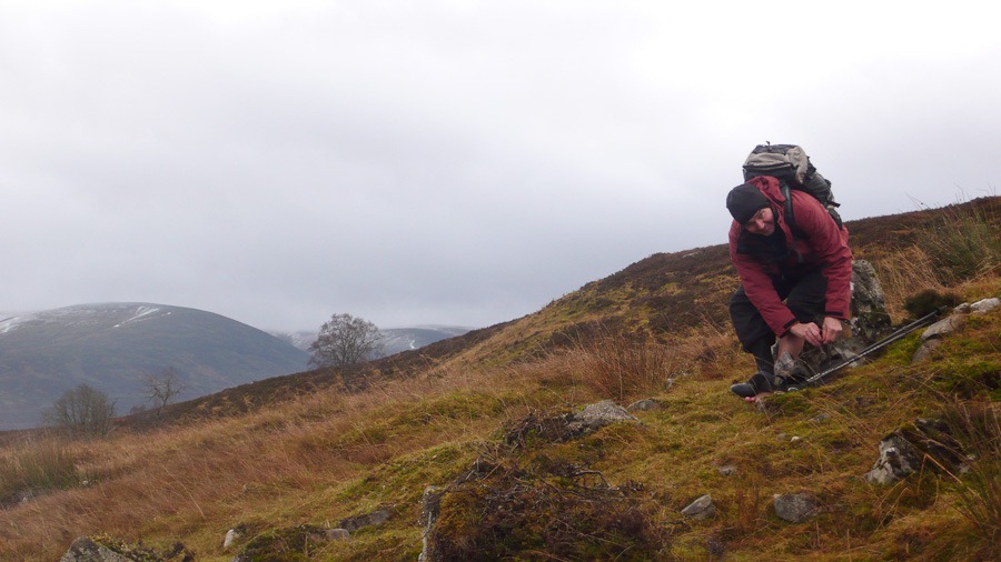
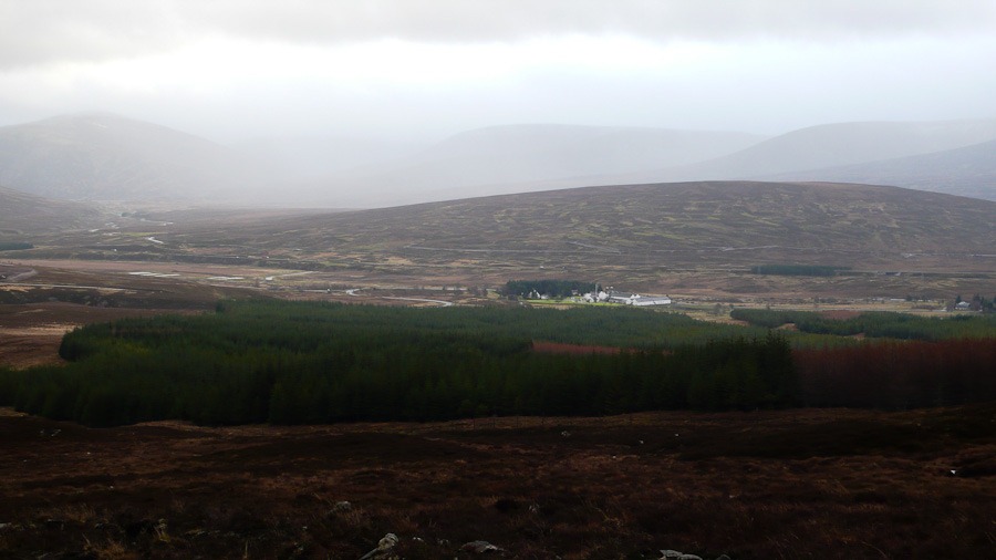 Looking towards Dalwhinnie
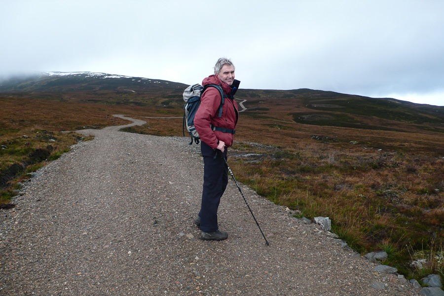
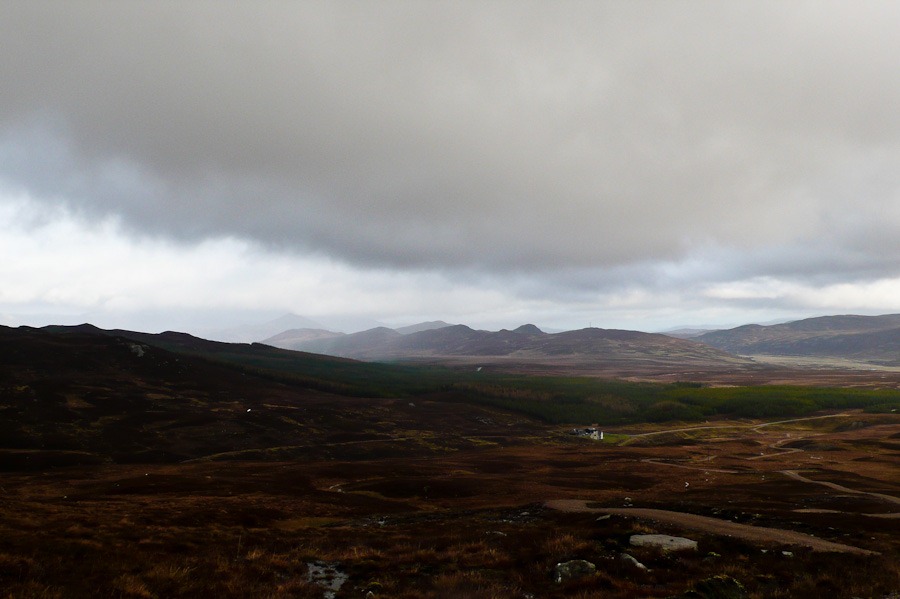
Looking North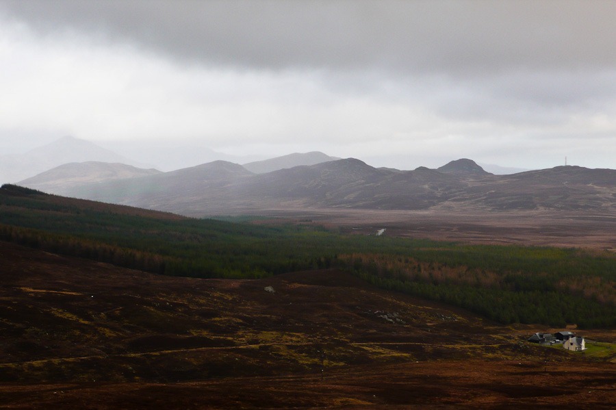
The top of the Chasm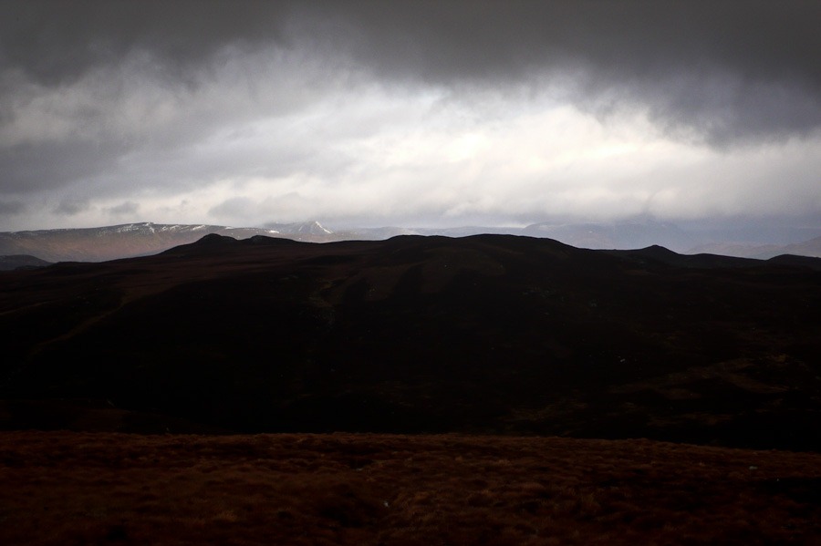 Looking North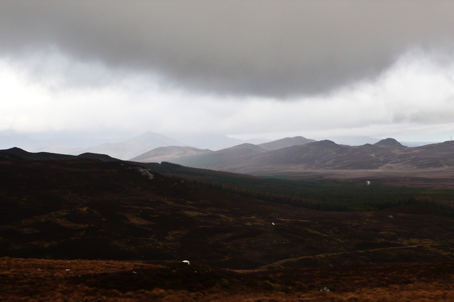
 The Chasm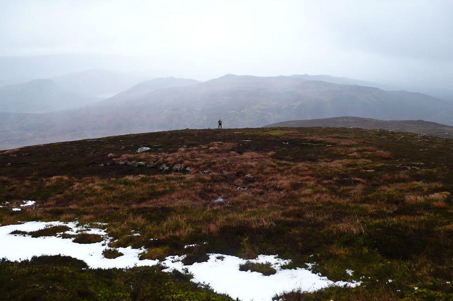
 The Fara peeping out to the right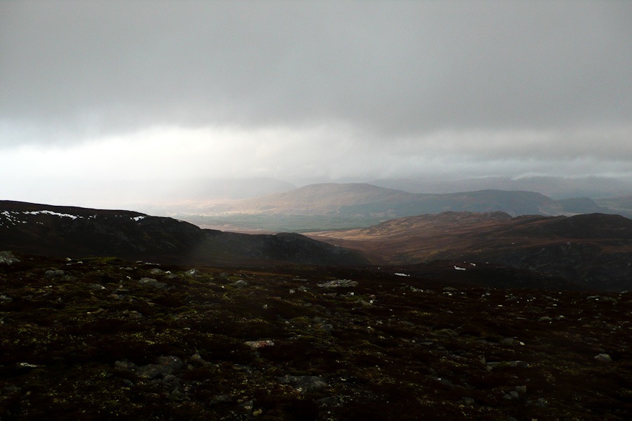
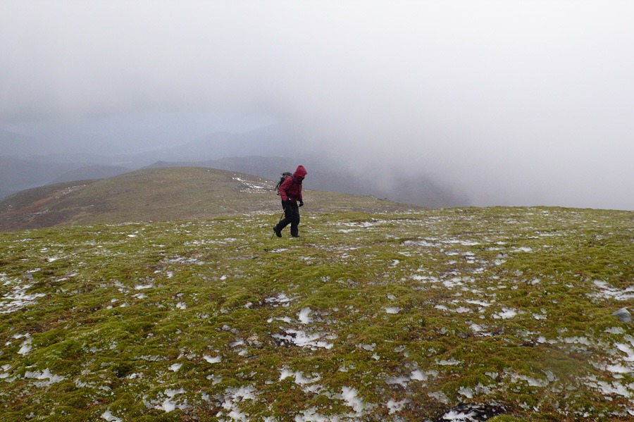
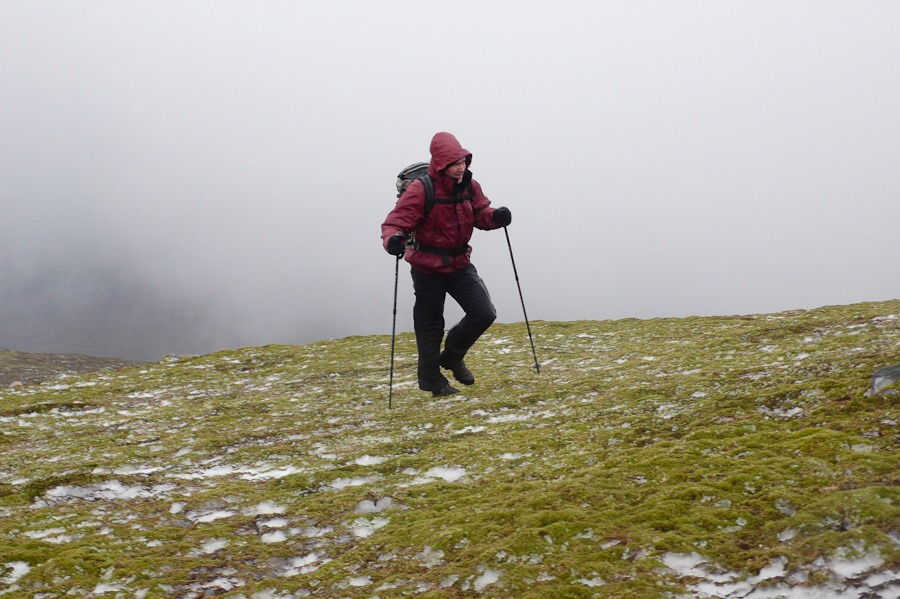 Hailing hard
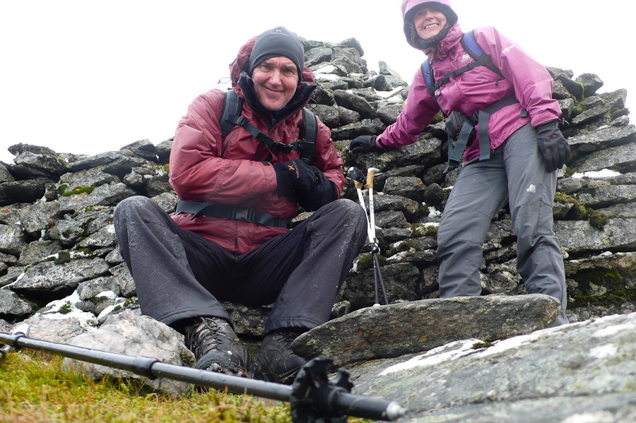 The Summit of The Fara
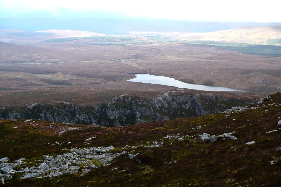 Creag nan Adhaircean and Lochan na Doire-Uaine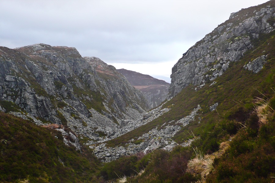
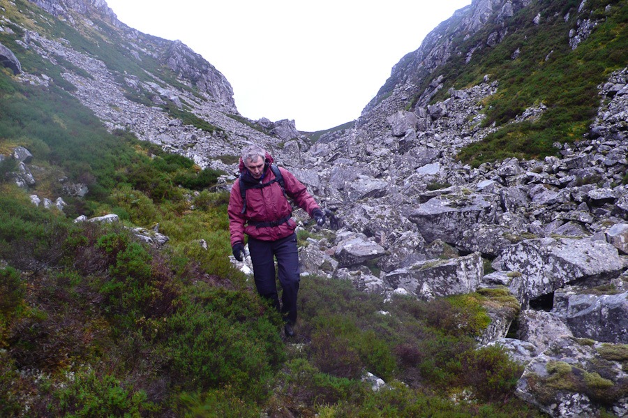
A Circuit from Buttermere
Lad Hows 426m Grasmoor 862m Wandope 772m
Whiteless Pike 660m Rannerdale knotts 355m
This must have been the most photogenic day in the lakes for years and guess who forgot to put the memory cards back in both cameras….me..I did have my camera phone with me though so have some pictures. Firstly we were surprised at how quickly we got over to Buttermere, secondly we couldn’t work out how come we hadn’t realised that before and thirdly it was so quiet and easy to park and the hills were quiet too. We had a truly brilliant day.
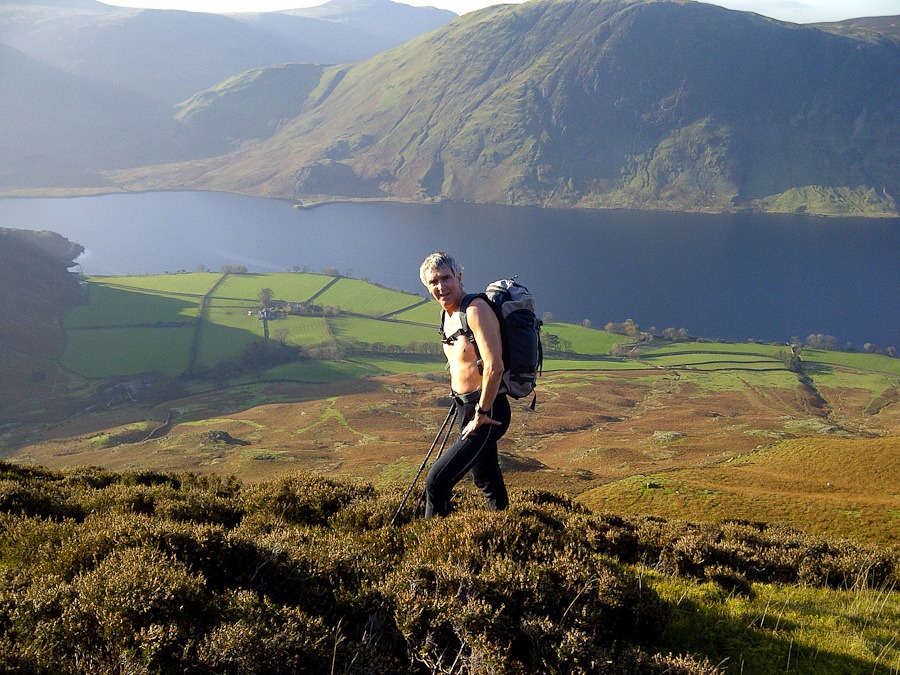
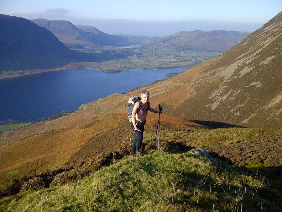 Looking down towards Crummock Water and Lowes Water
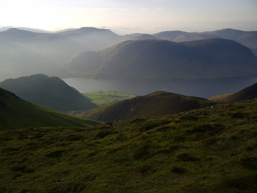 Crummock Water and Mellbreak
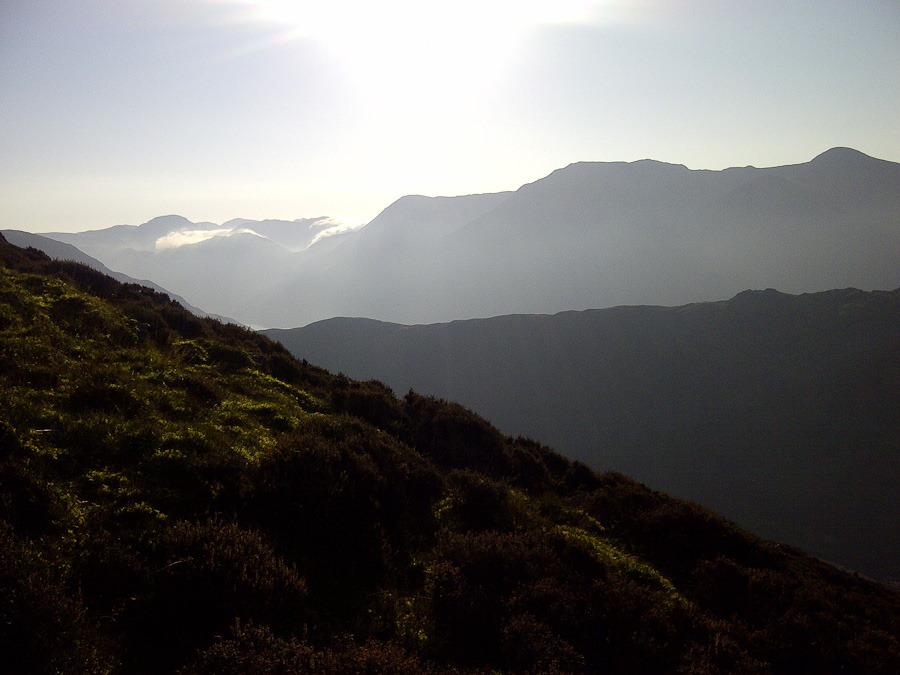 Looking towards great Gable and Scarfell on the left and Kirk Fell and Pillar on the right
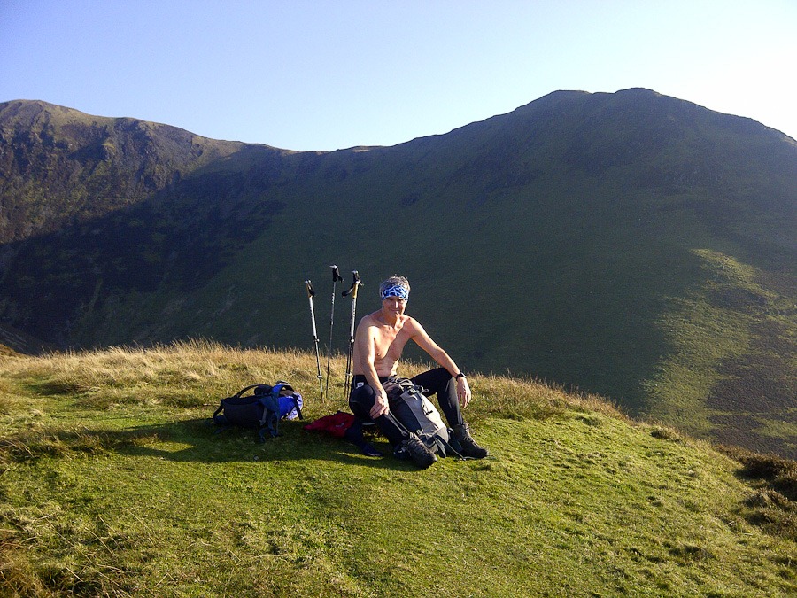 On Lad Hows with Whiteside Pike behind
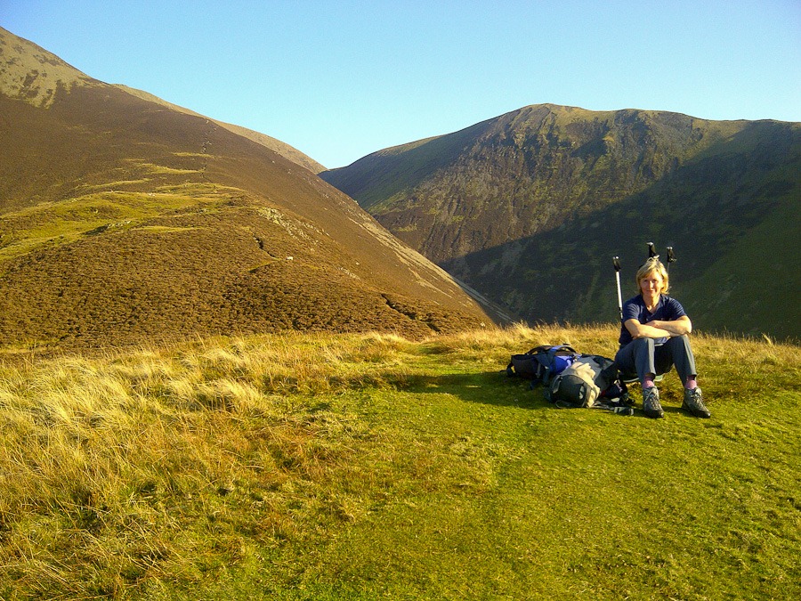 On Lad Hows with Wandope Behind
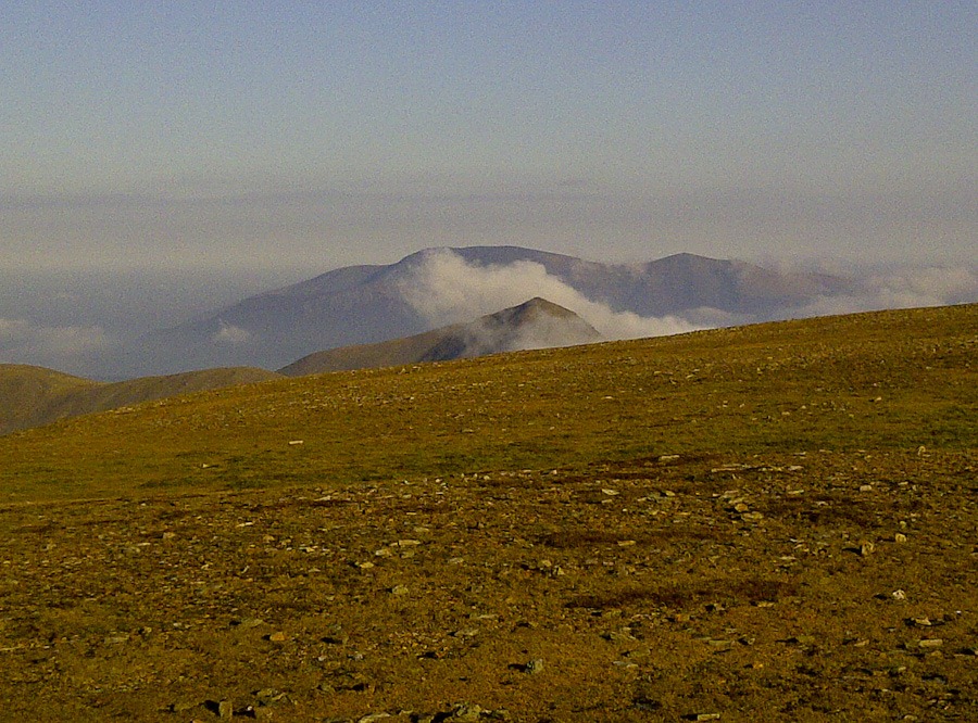 Skiddaw from Grasmoor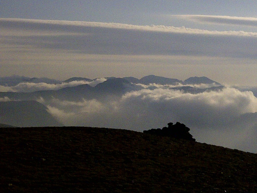
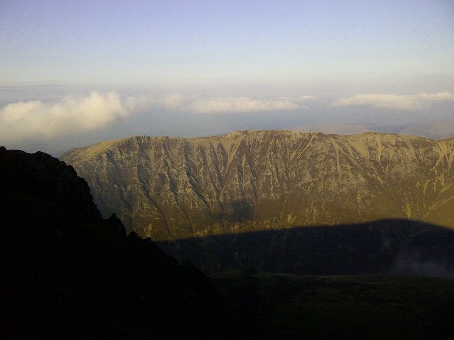 Gasgale crags on the flank of Whiteside
 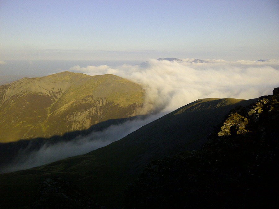 Sandhill and Coledale Hause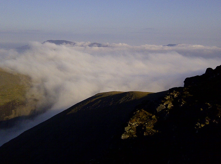
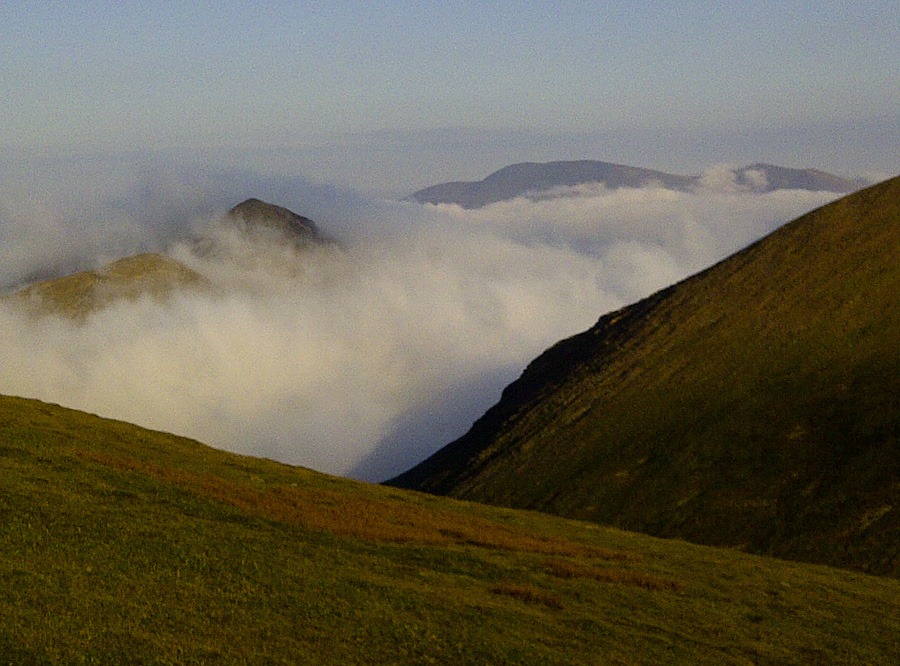
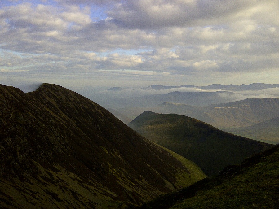 Crag Ill
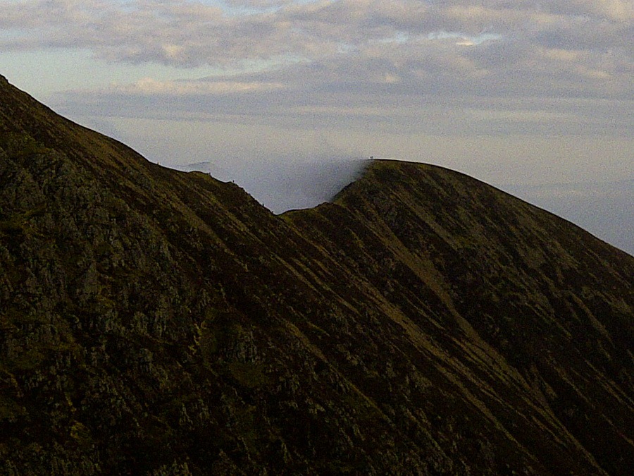 Crag Ill
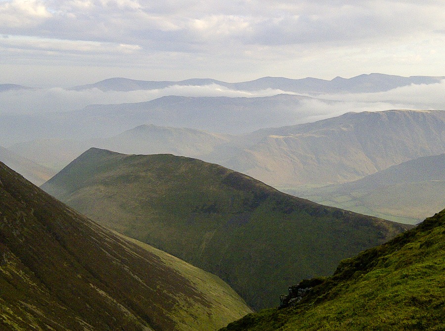 Sail – I think
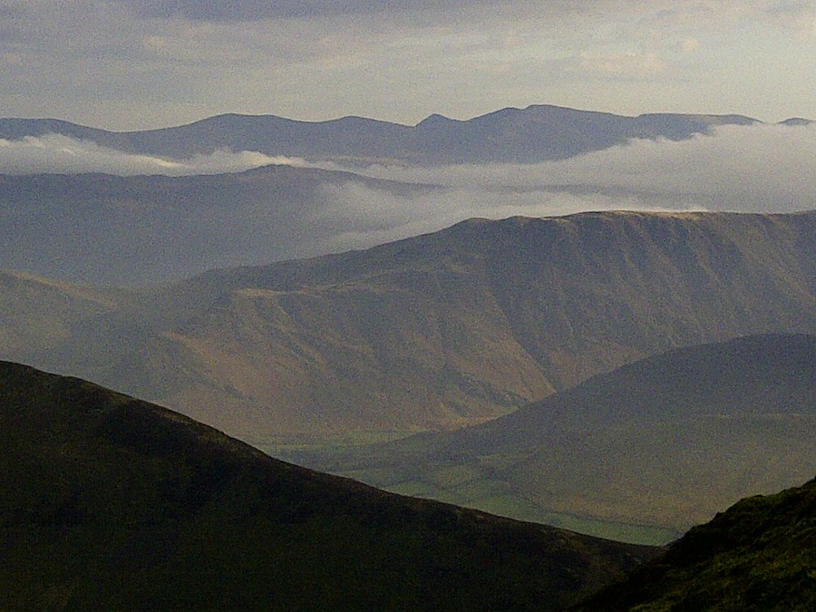 Looking towards the Hellvellyn Range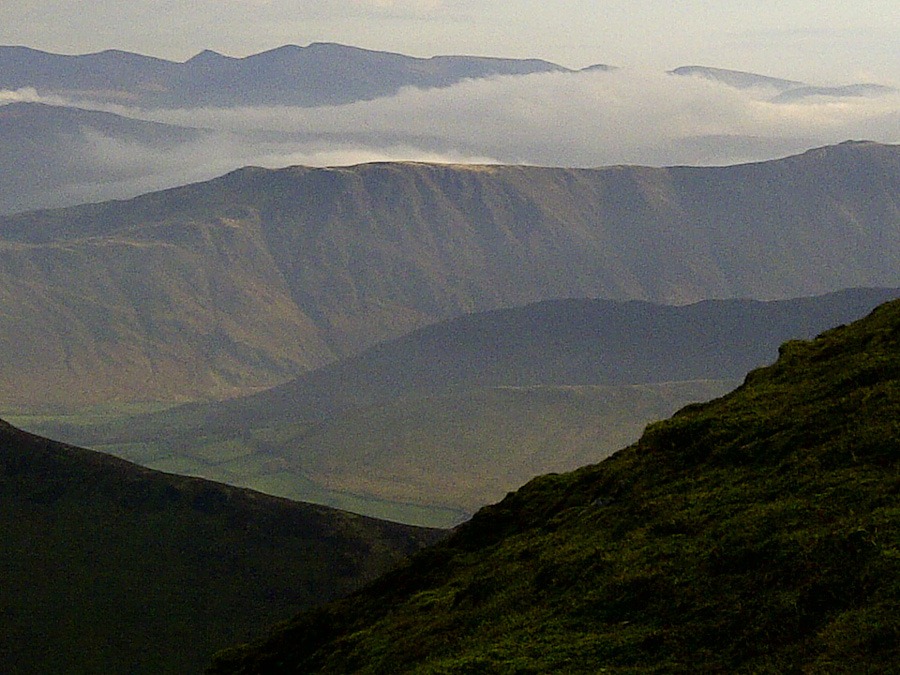
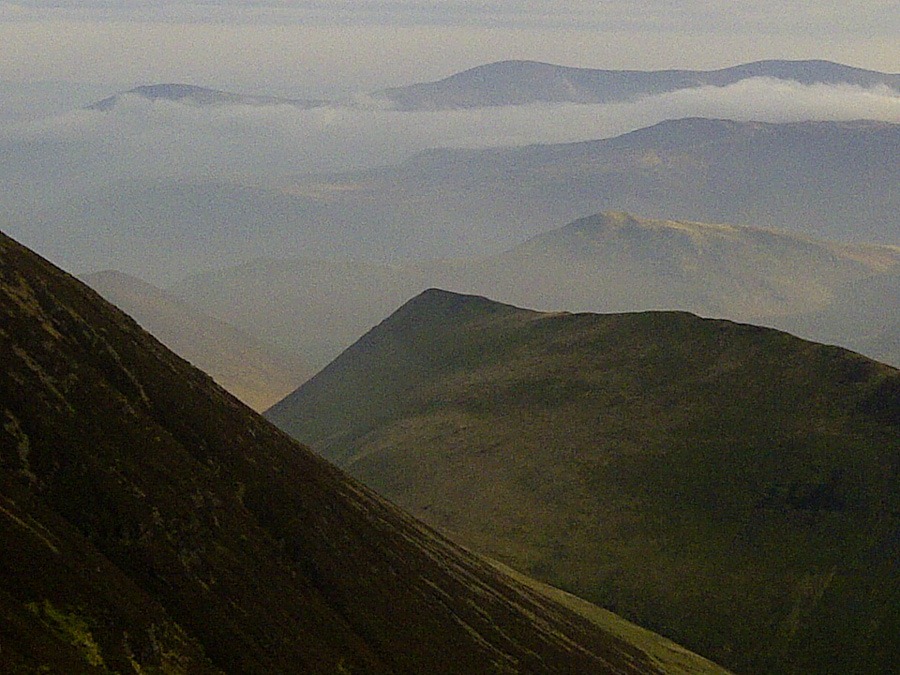
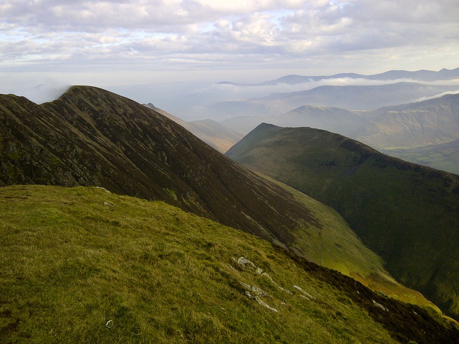 Crag Ill and Sail with Grisedale Pike just peeping through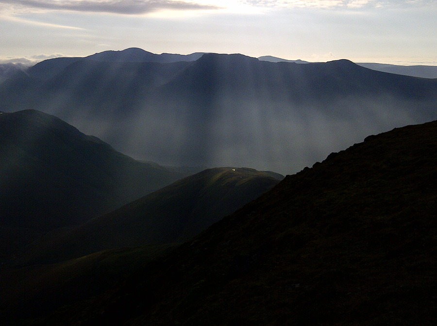
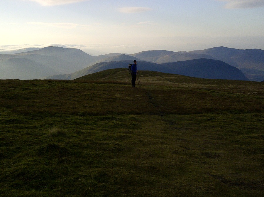 Wandope
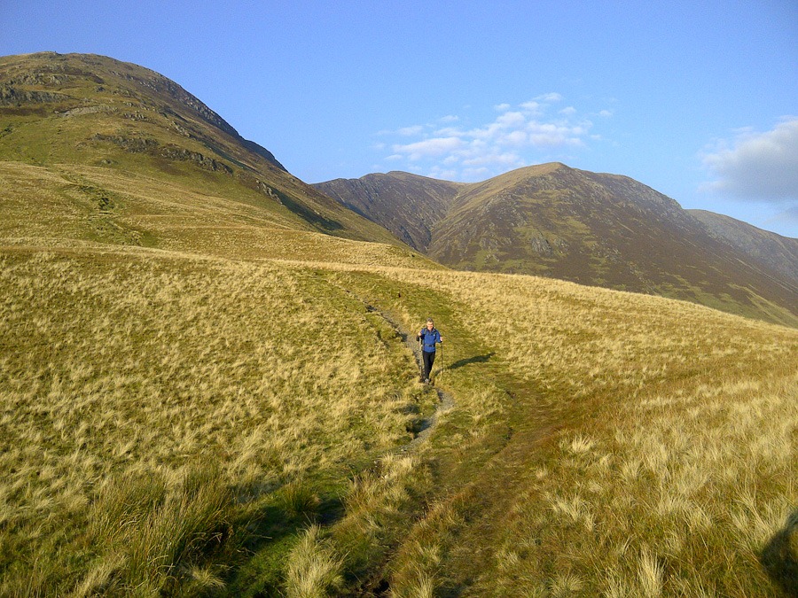 Coming down from Whiteless Pike with Wandope on the right
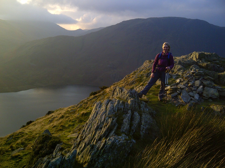 Rannerdale Knotts and Crummock Water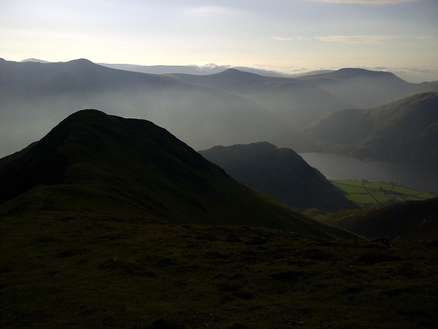
 Mountain Days and Photo Nights