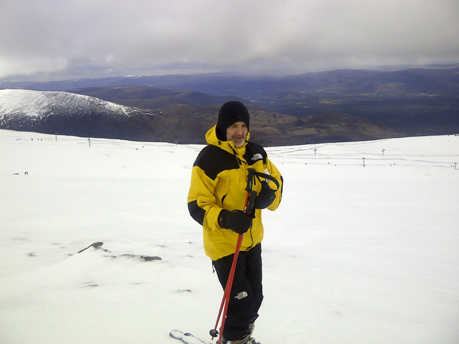
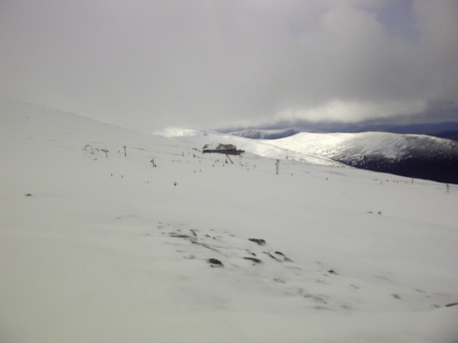
Skiing in May!
Well we did it we survived the move 12 days of humping things about lifting dribing vans and all the rest. We felt like mole escaping from the spring cleaning as we headed up the mountain to enjoy one of the last good days on the hill this year. Brilliant and we live here now!

Blake Fell and others from Lamplugh
Owsen Fell 409m Burnbank Fell 475m Carling Knott 519m Blake Fell 573m Sharp Knott 481m High Hows 313m
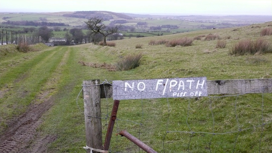
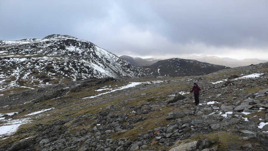
Over cast but not raining and not too windy. Not a very welcoming place Lamplugh not the farmers sign although the farmer we met on the way down was friendly enough
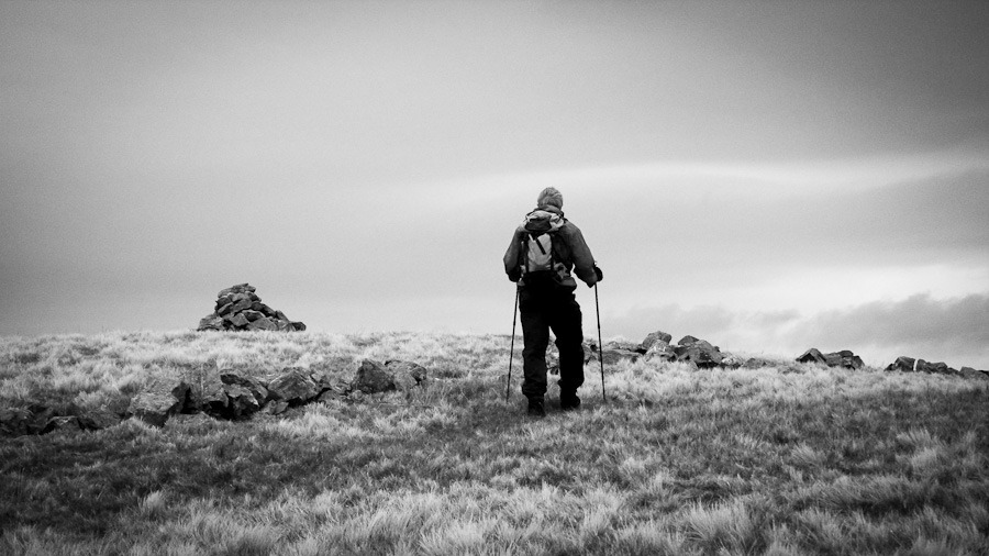 Owsen Fell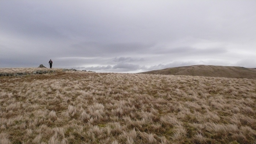
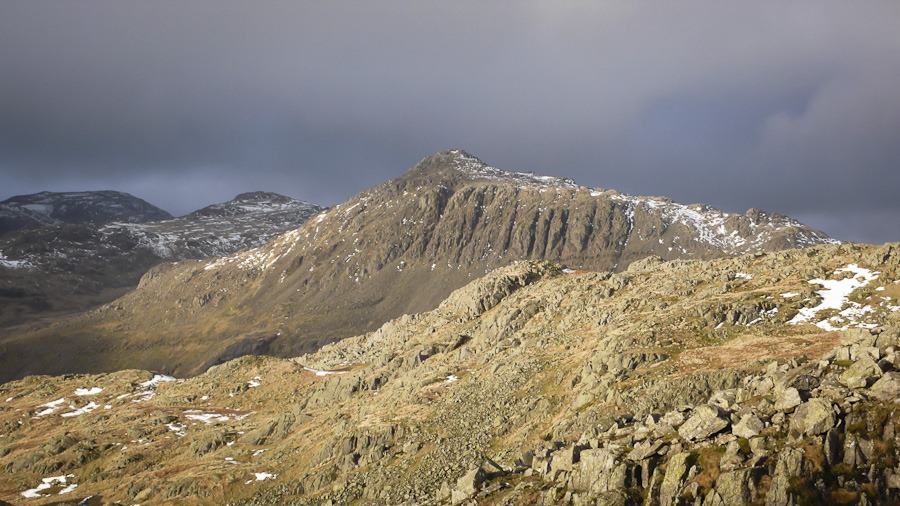
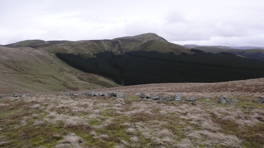 Sharpe Knott on right and Black Fell on left
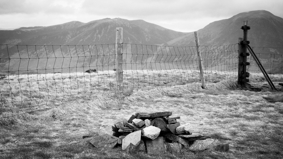 Burnbank Fell
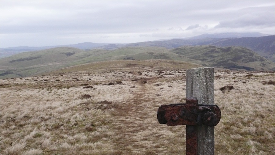 This is where we walked in the mist all day a couple of months ago!! – Fellbarrow and Loweswater Fell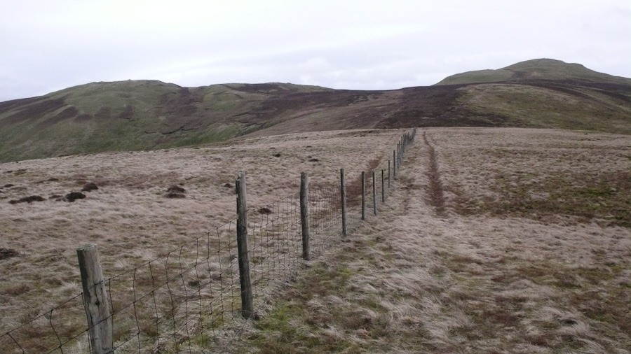
 Carling Knott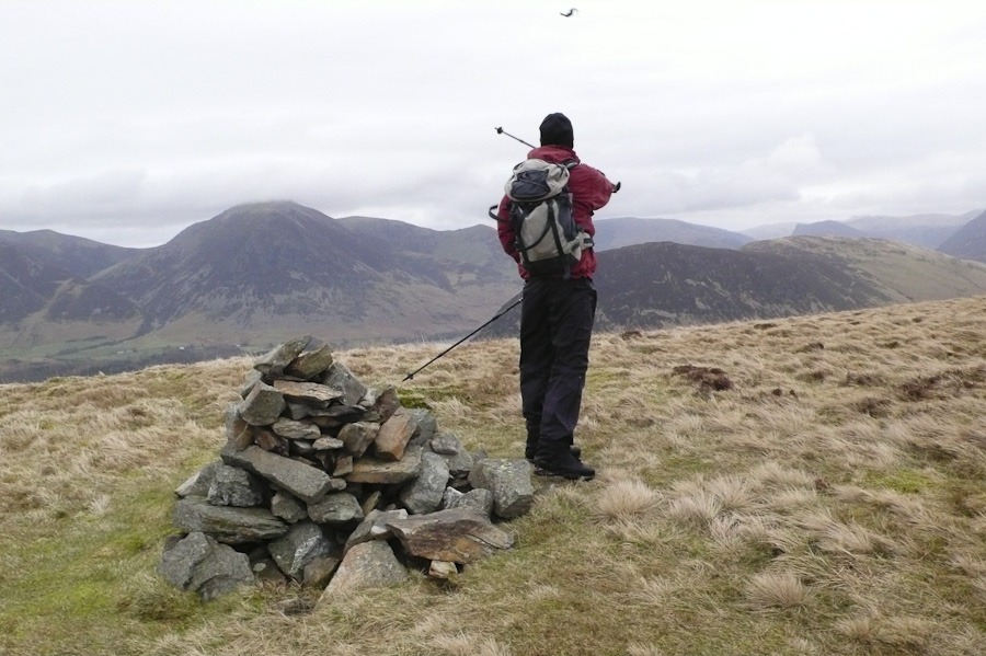
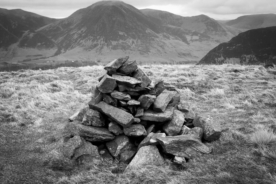 Carling Knott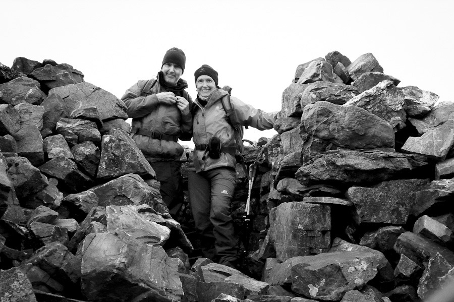
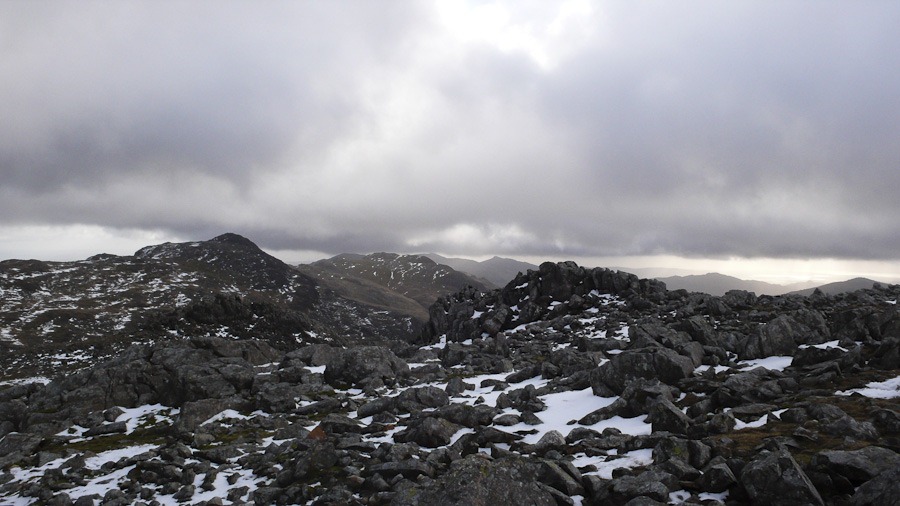
Shelter at the top 544m Blake Fell
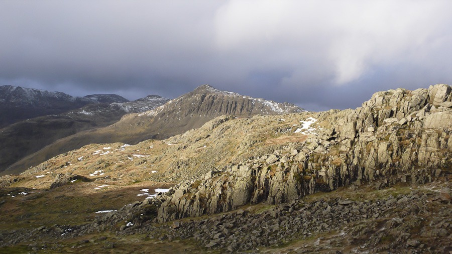
  Sharp Knott
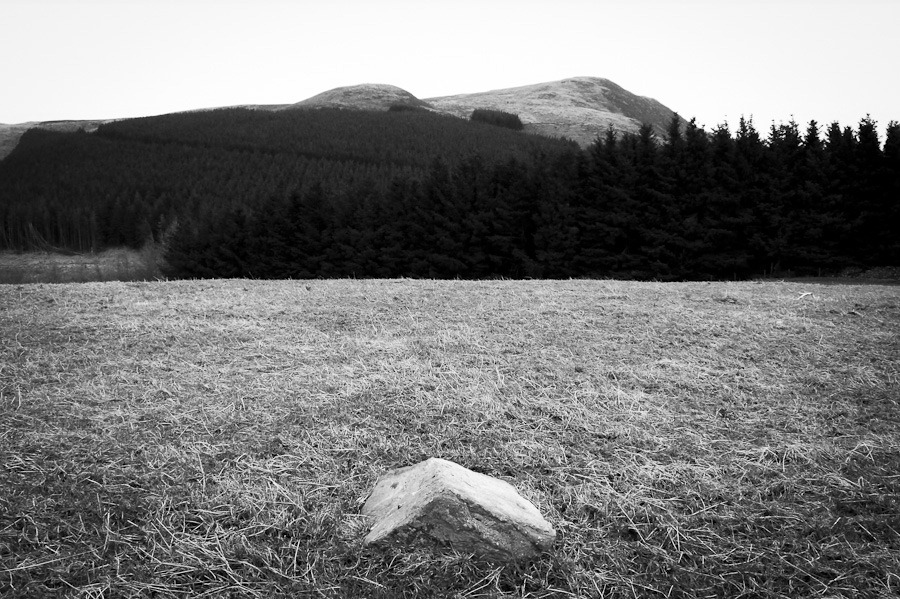 High Hows
Corryhabbie Hill
Definitely less windy than yesterday. I nice walk up a wee Corbett with lovely views of Ben Rinnes
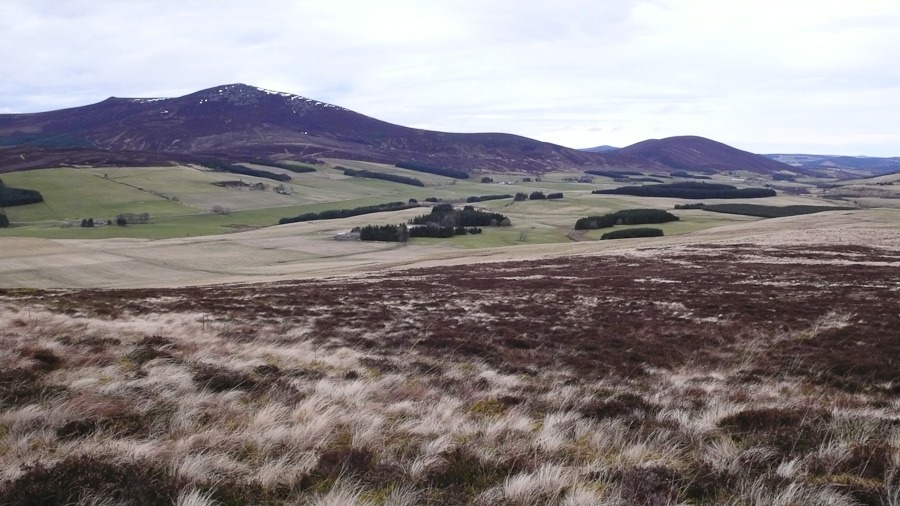
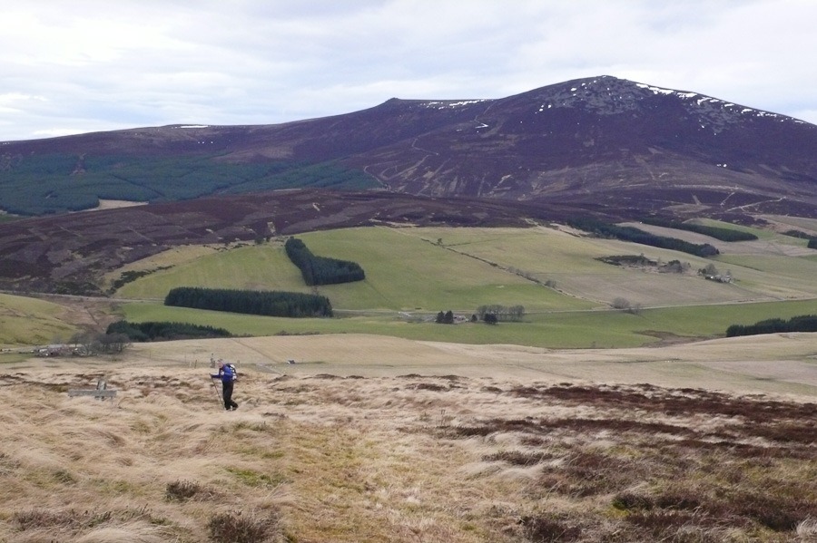
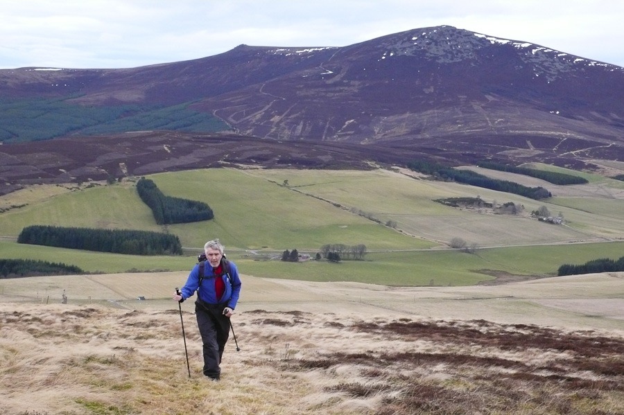
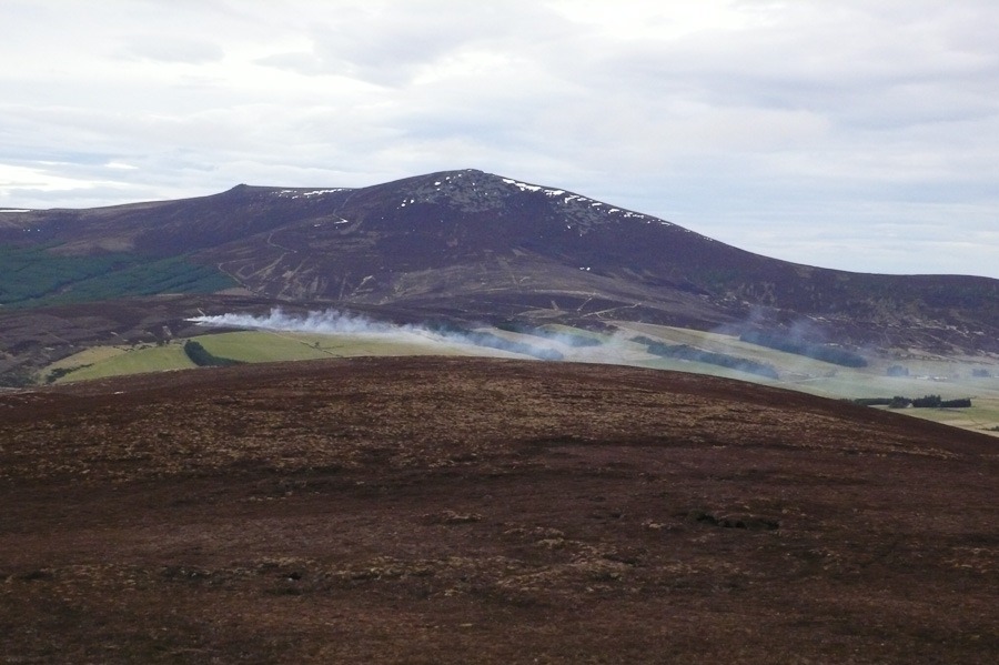 Ben Rinnes
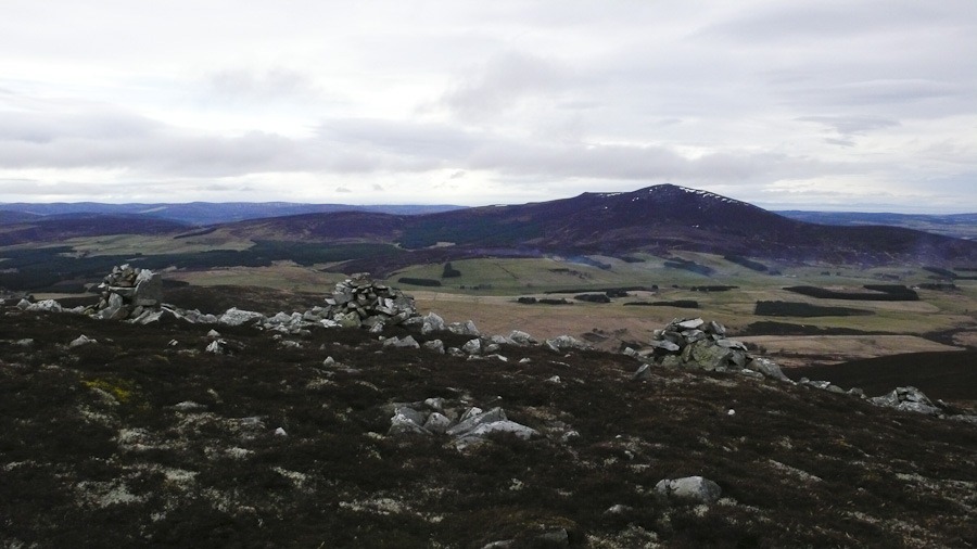
Creag Mhor from Kingussie
It was very windy but also very wet….and then it got very very windy and slightly less wet!
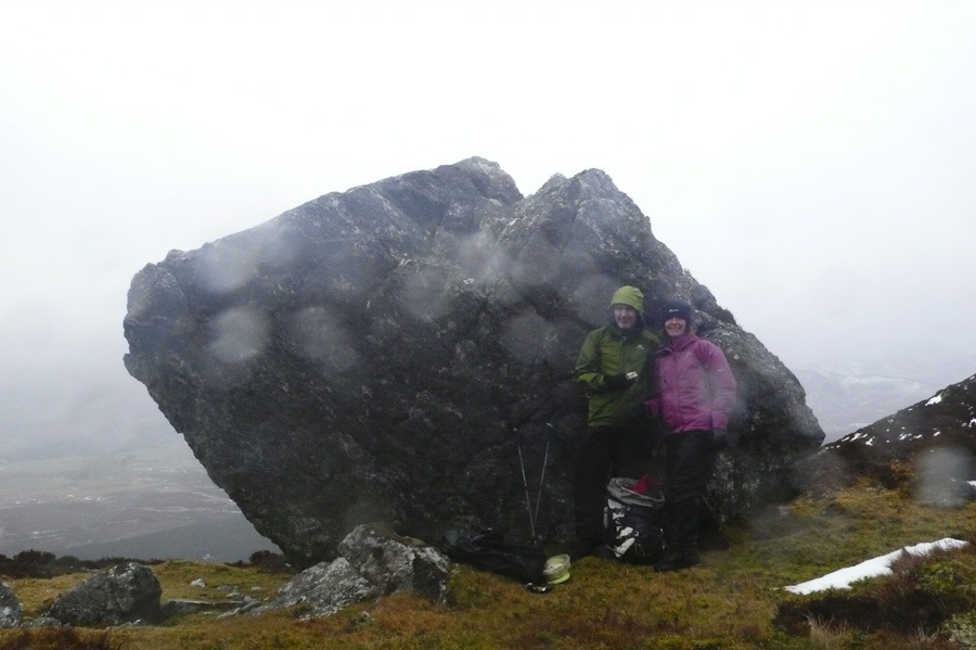
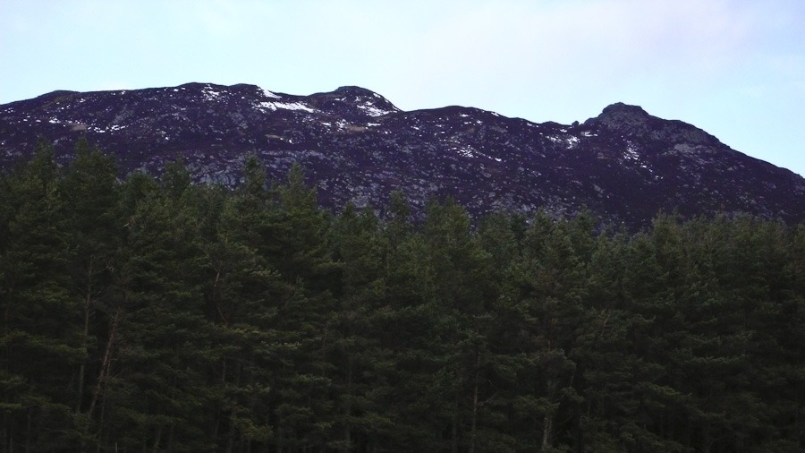 You can just make out the big stone in the dip to the right
Angle Tarn Gully and Bow Fell
Bow Fell 902m
It was very misty as we set off up Mickleden heading to Angle Tarn. there was a lot od ice about and the snow was softer than we thought it would be so it was pretty hard going. We wandered across the Rossett Gill towards the top it was more interesting than the path but no climbing. From the top of Rossett Gill we dropped down to Angle tarn and walked round the back – deep snow – hard going. We found a bit of Ice and had a play and then went up Angle Tarn Gully grade 1. Part way up we found some interesting ice and put a top rope up – that was good. We then climbed up to the top. For the decent we decided to head to Ore Gap and Bow Fell and then down the band. slight wandering about in the mist to locate the top of Bow Fell and then a straight forward walk down the Band.
good day – totally in the mist! 7 hours
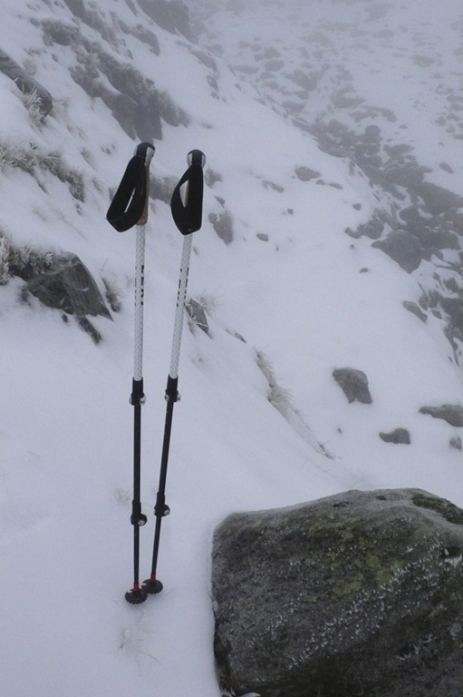 Rossett Gill
 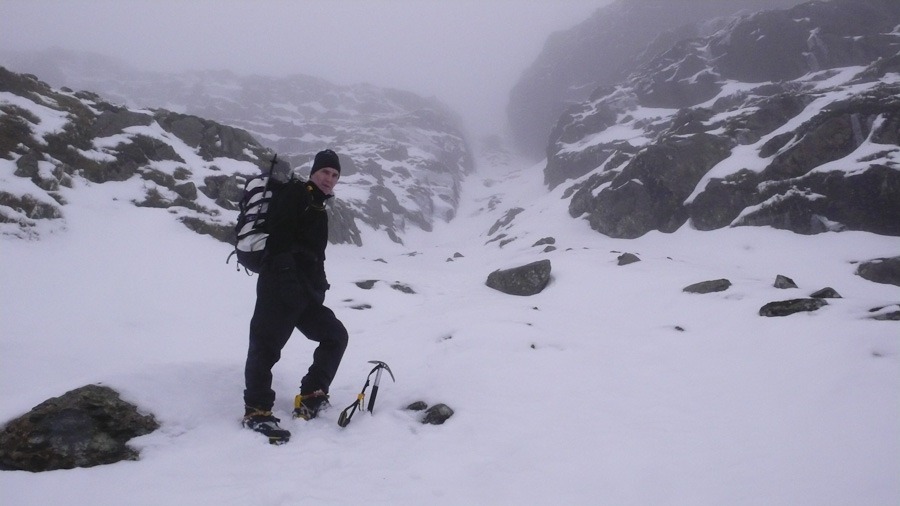 Angle Tarn Gully
 Roger in Angle Tarn Gully. Ice on the left we top roped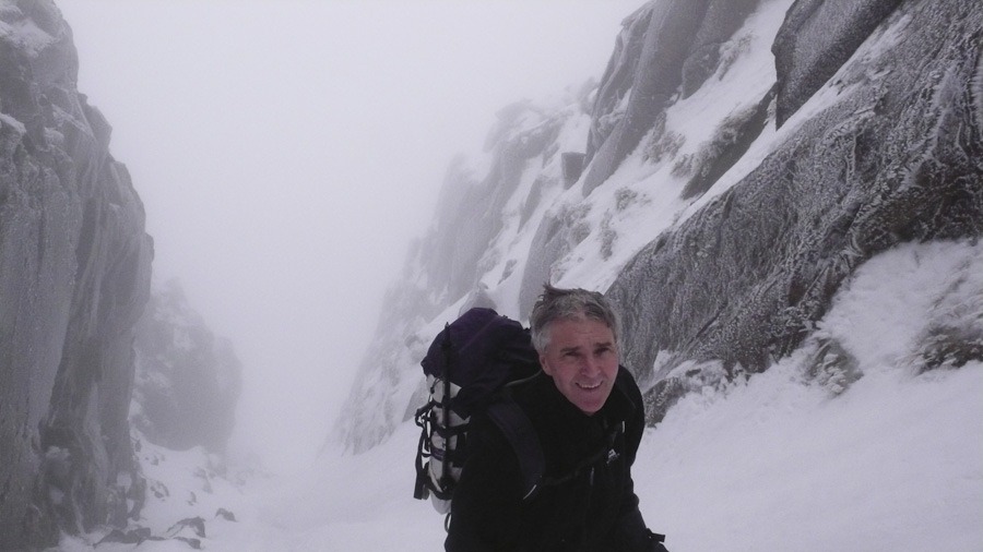
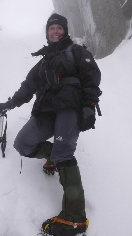
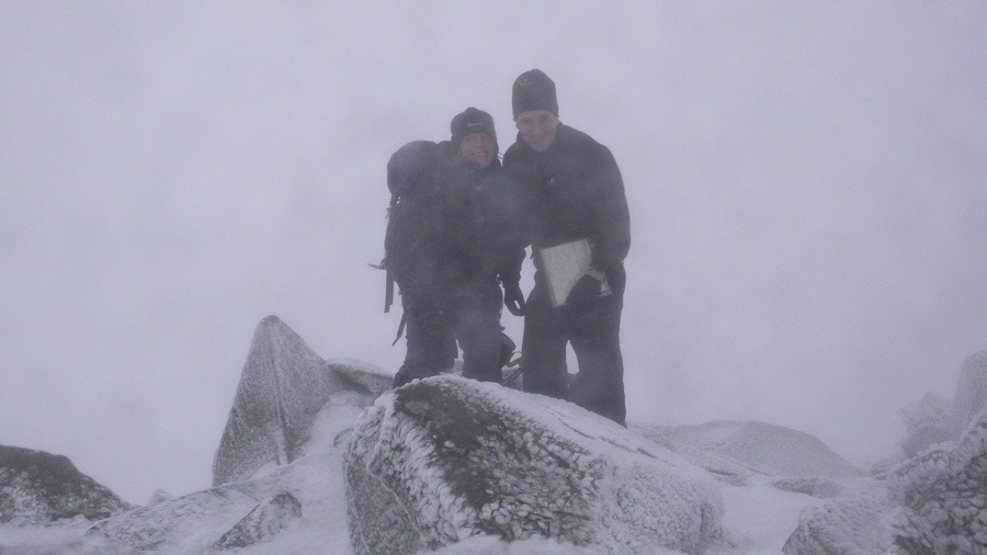
Bow Fell Summit
Brown Cove Crag
There were a lot more people there than we expected and a lot more ice. Still recovering from my food poisoning I probably shouldn’t have been out but who could resist.
Everyone had ropes and was on routes – so we just made a way up the crag following the easy interesting bits….and then climbed down the easy gully on the left of the crag……really pleased with my new Ice axes – didn’t bash my fingers once and my crampons.
Still a bit confused as to which is Central gully – book not clear
Brilliant
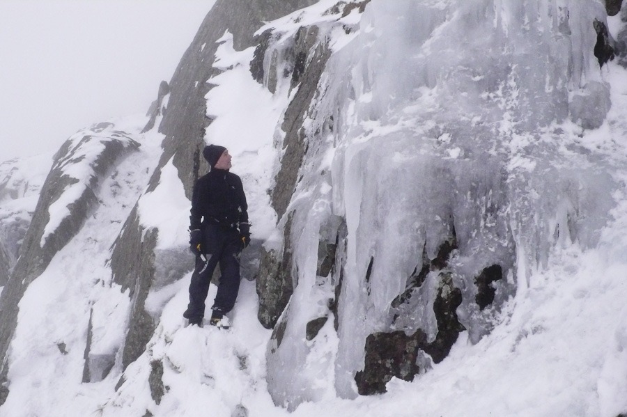
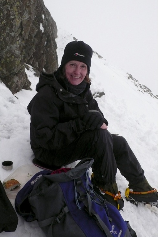
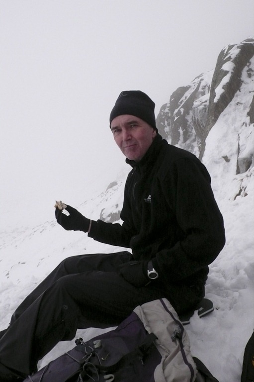
Scafell Pike from Langdale in the Snow
Great End 910m Ill Crag 935m Broad Crag 931m Scafell Pike 978m
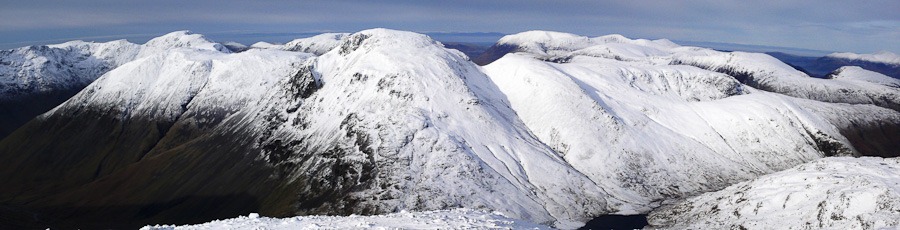
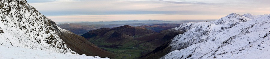
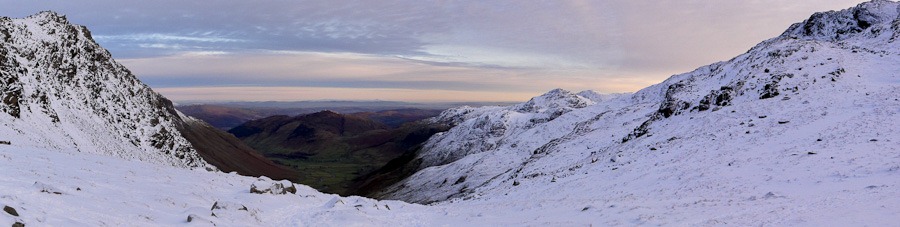
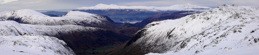
It was a wonderful bright crisp day……green in the valley but with snow on the tops. it was hard to tell how much as we drove to Langdale but as we set off up Mickleden we could see the snow getting deeper and indeed it was deeper than we thought it would be and was quite hard going. We walked up Rossett Gill passed Rossett Pike to Angle tarn. A stop at Esk Hause and up to the Summit of Great End. It was a truly wonderful day but we were not sure at this point if we would have time to get to Scafell and back without running out of day light. We kept going a peak at a time – Ill Crag, Broad Crag and finally Scarfell Pike. We did get back to the valley in the daylight but it was pretty much dark by the time we got to the car. We could see lights walking down the band.
7 hours 50 minutes – not bad considering the winter conditions.
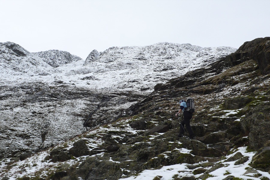 Looking up Rossett Gill with Rossett Pike on the right
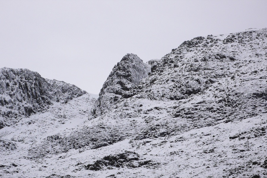 Rossett Pike
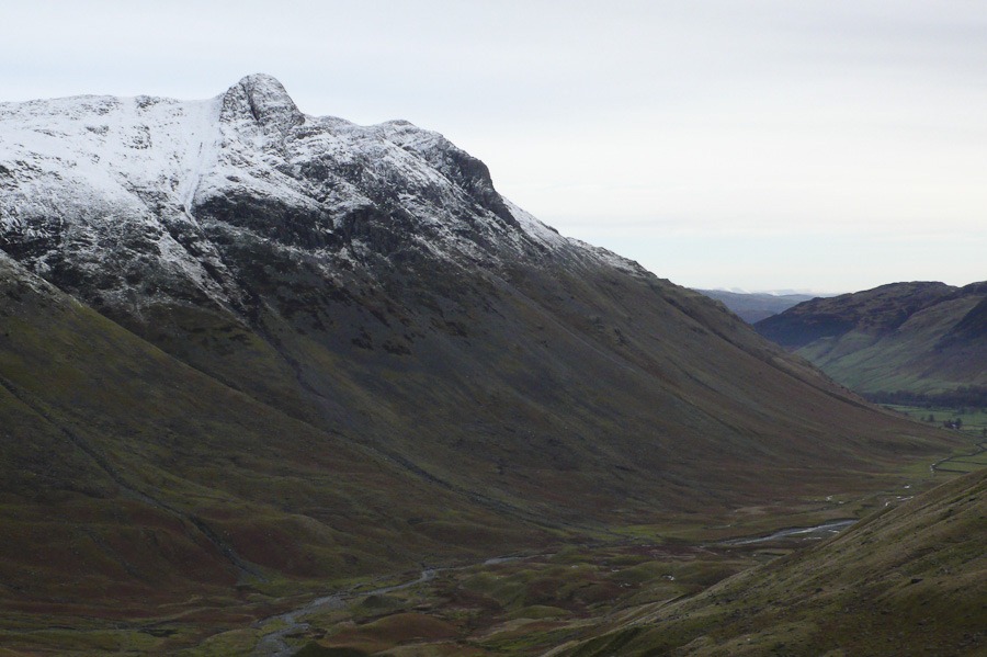 You can see Troughton Beck and the Pike of Stickle
 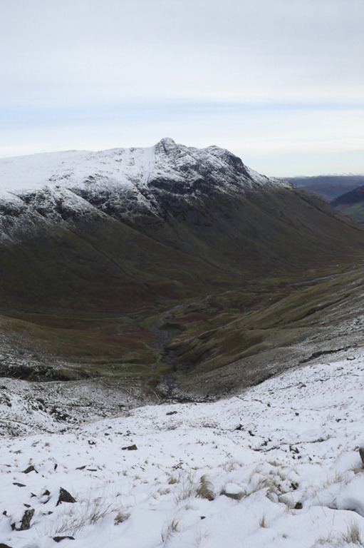 Looking down Langdale
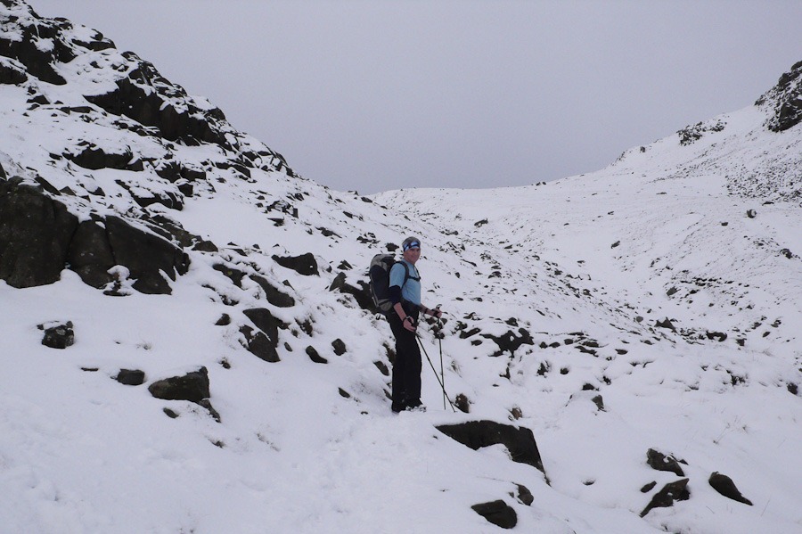
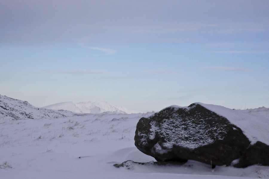 Swidaw peeping out
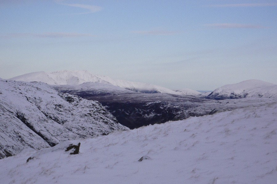
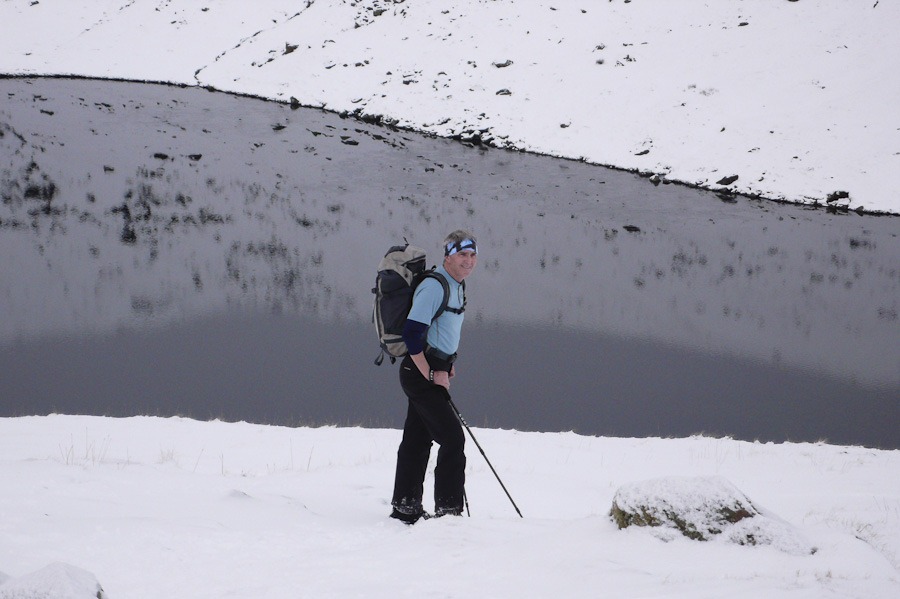
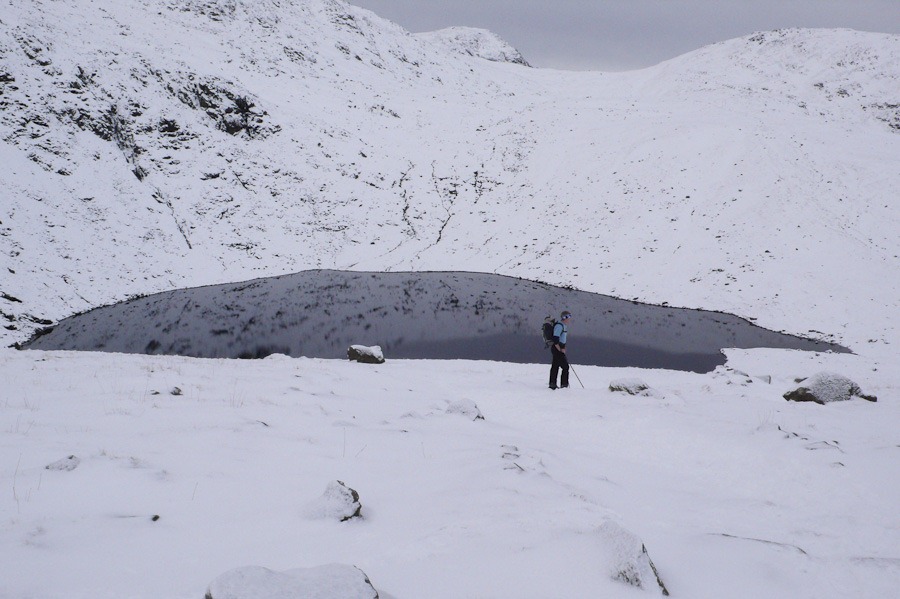 Angle Tarn
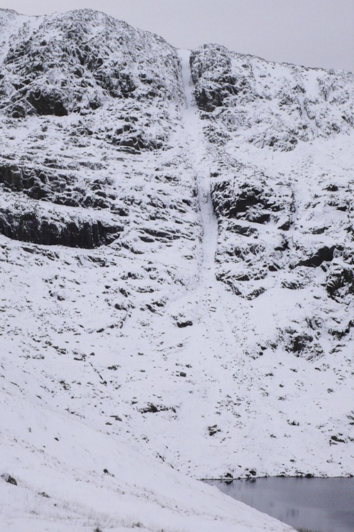 Angle Tarn Gully 1 and Hanging Knotts
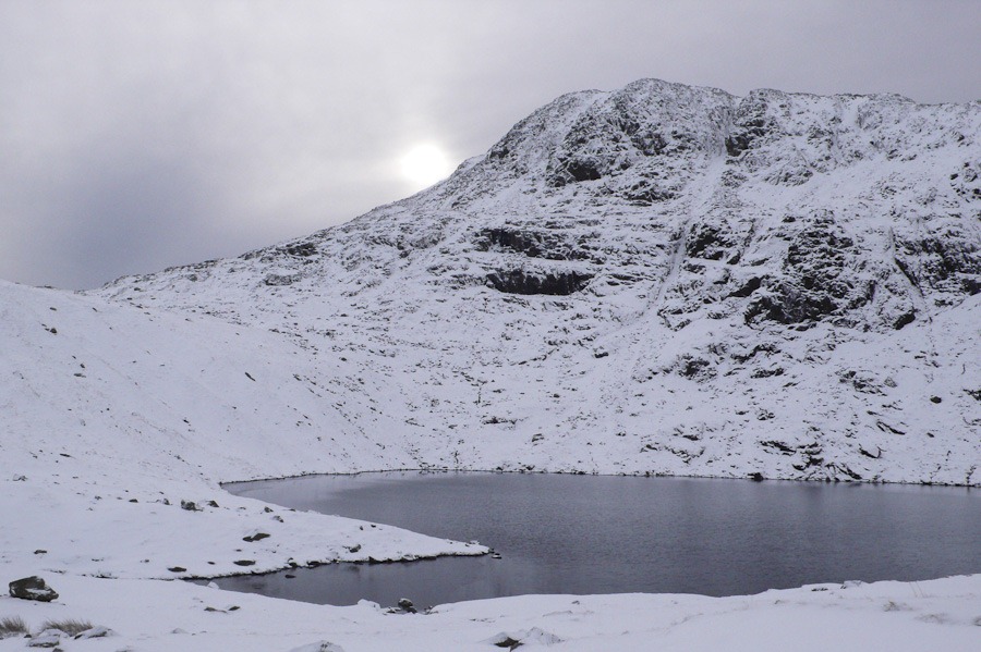
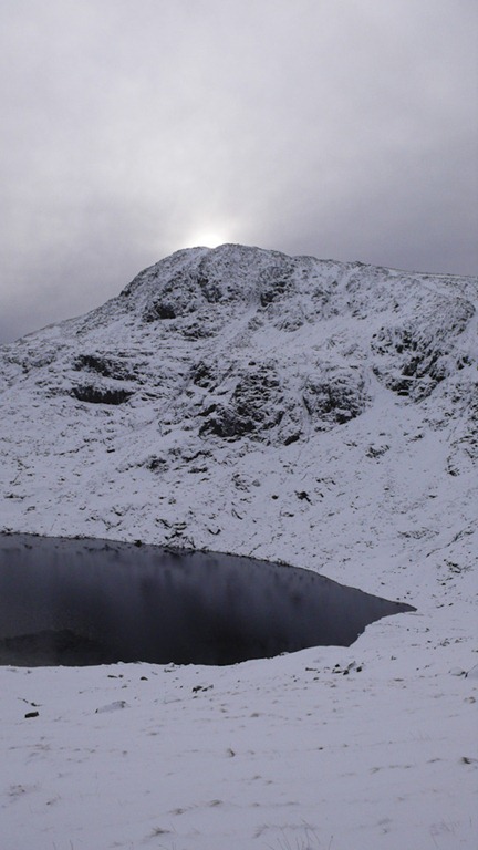
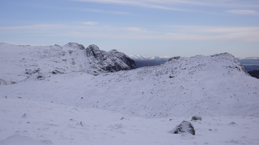 Langdale Pikes
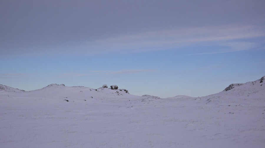
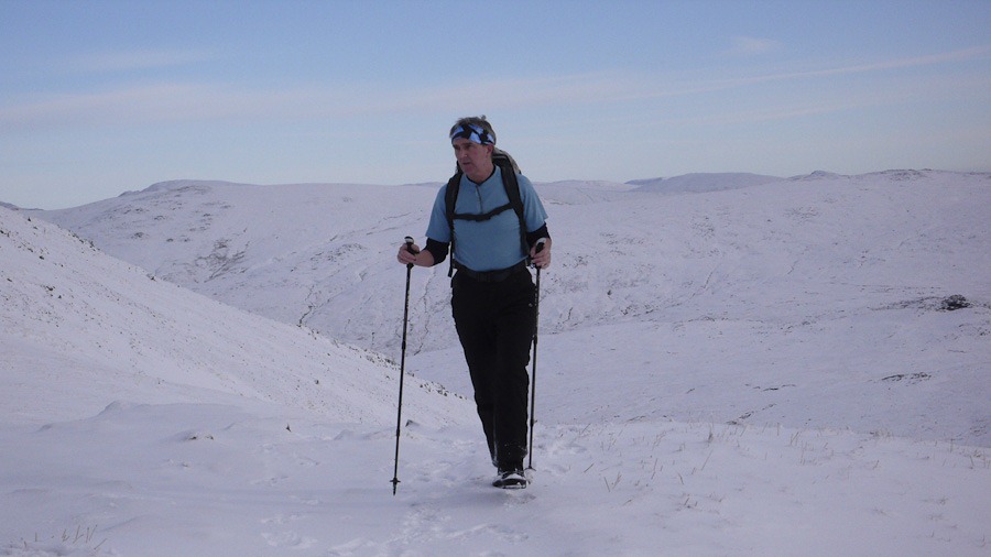
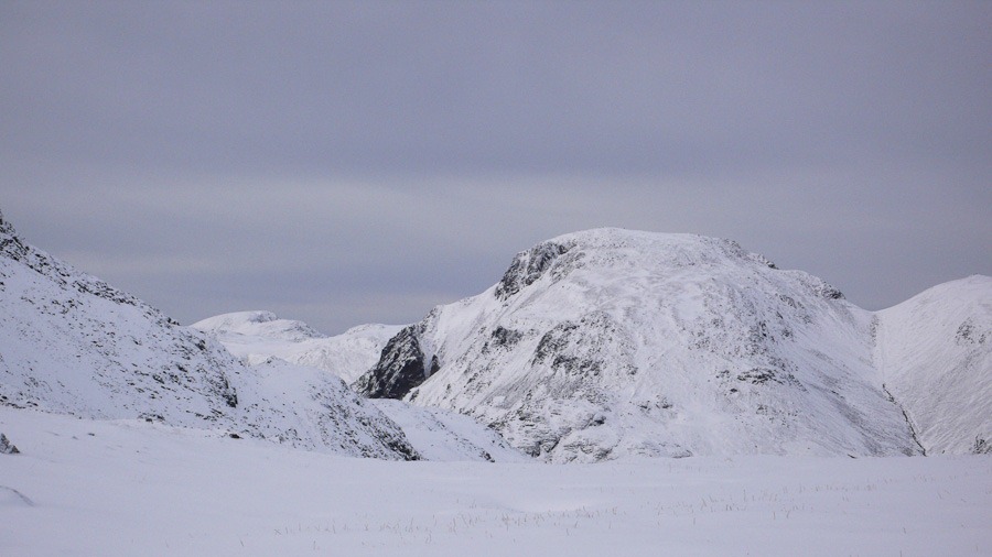 Great Gable
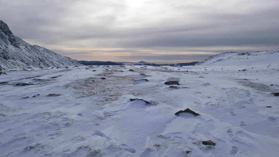
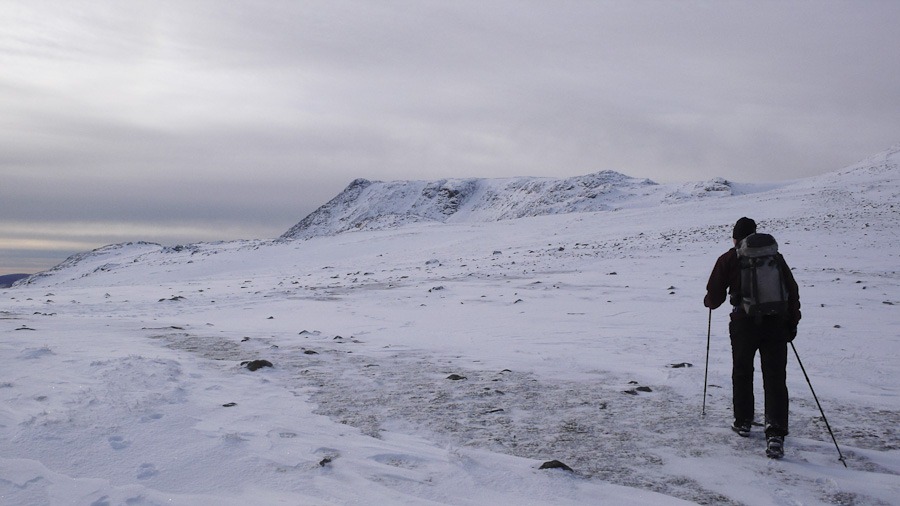 Ill Crag
 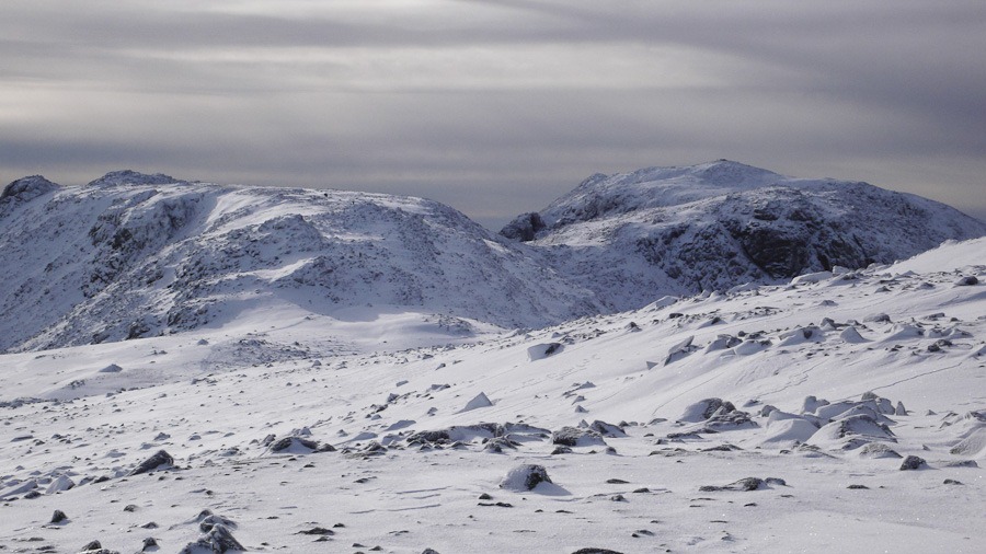 Ill Crag Braod Crag and Scafell Pike
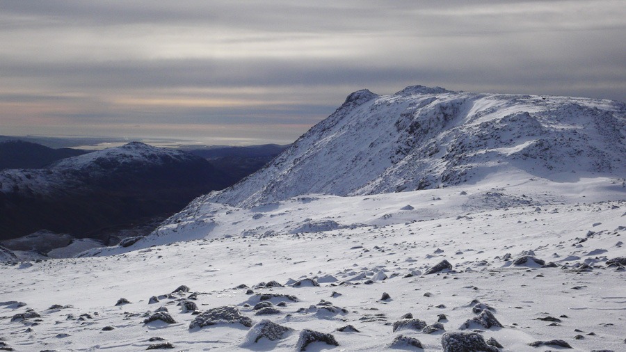 Ill Crag
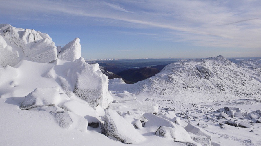 Esk Pike and the Crinkles
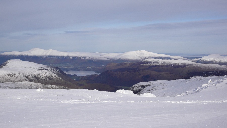 Derwent Water
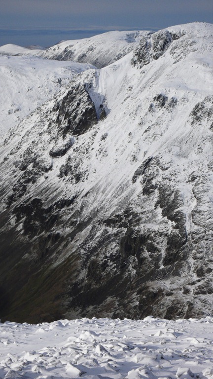
Kern Knotts and Westmoreland Crag
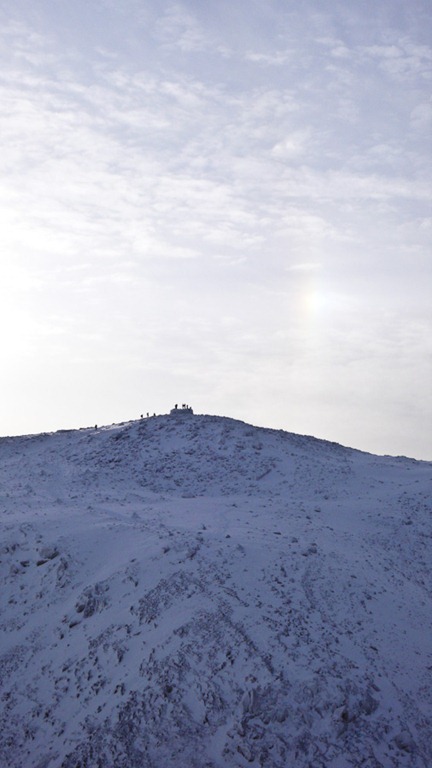
Scafell Pike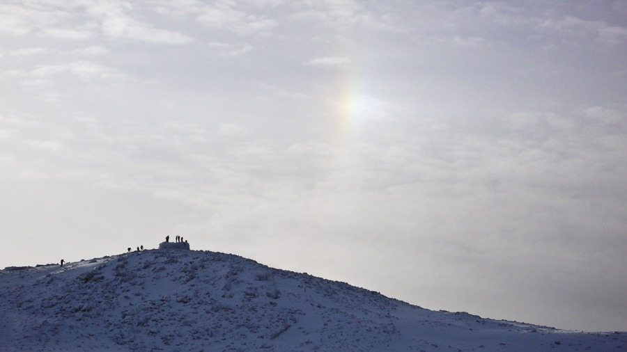
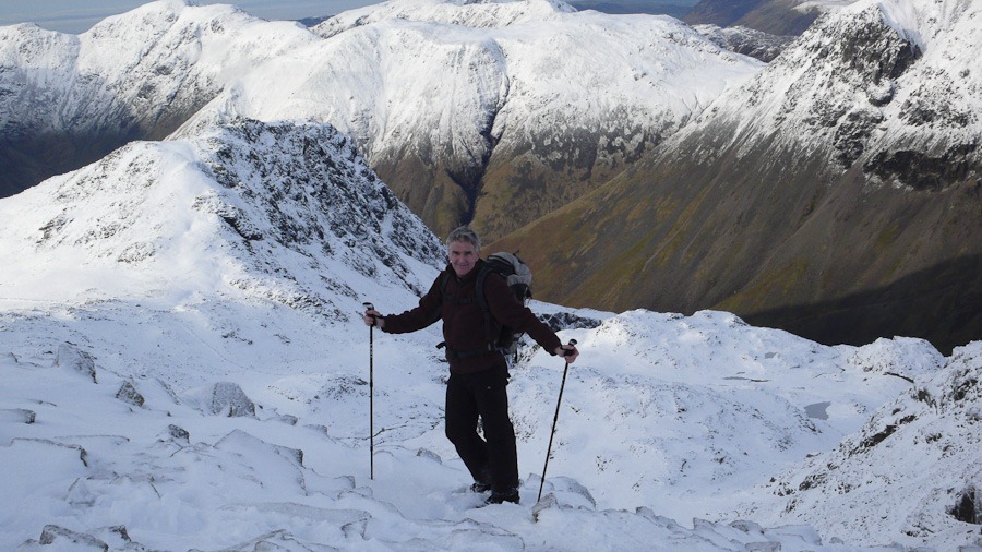
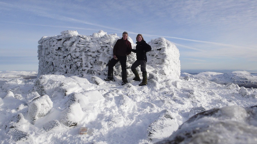 Scafell Pike Summit
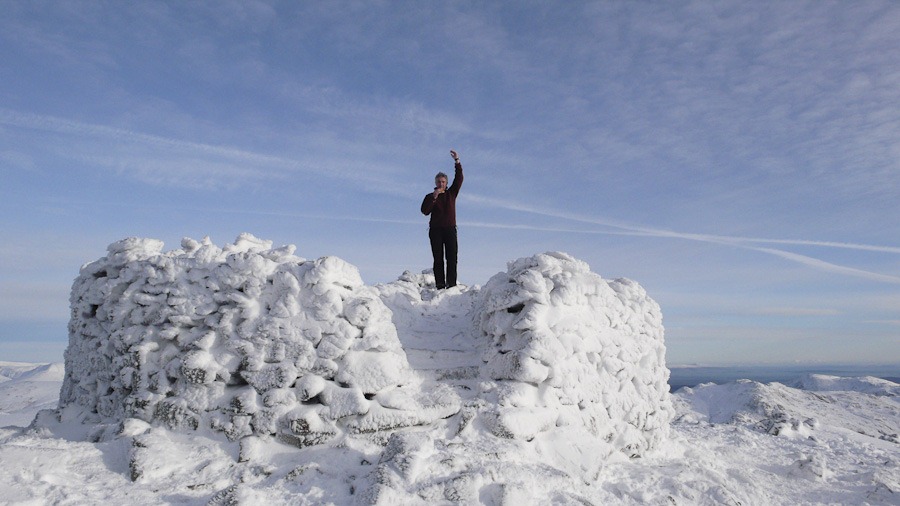
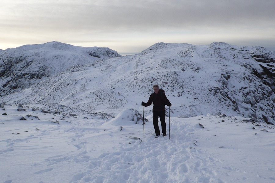 Walking back with Broad Crag and Scafell Pike behind
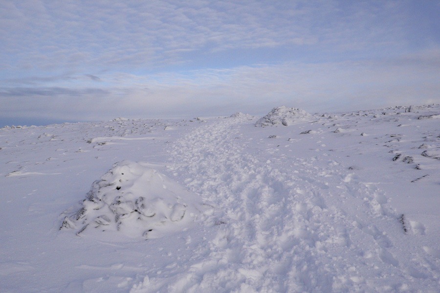 Looking forward long the top of Ill Crag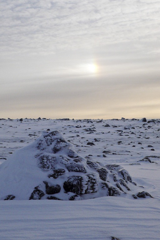
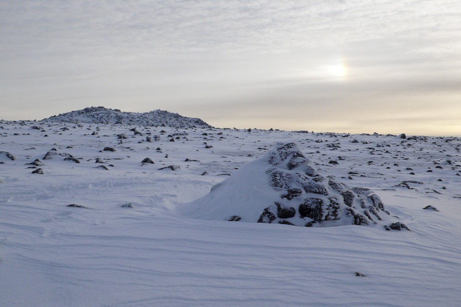
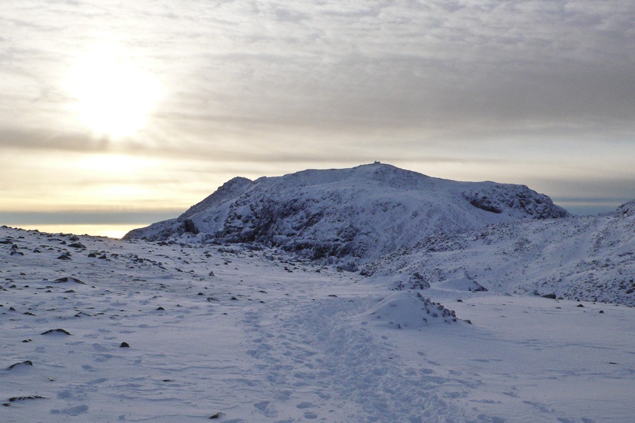
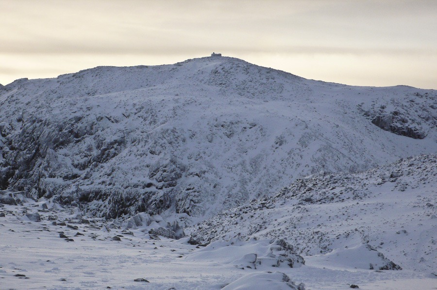
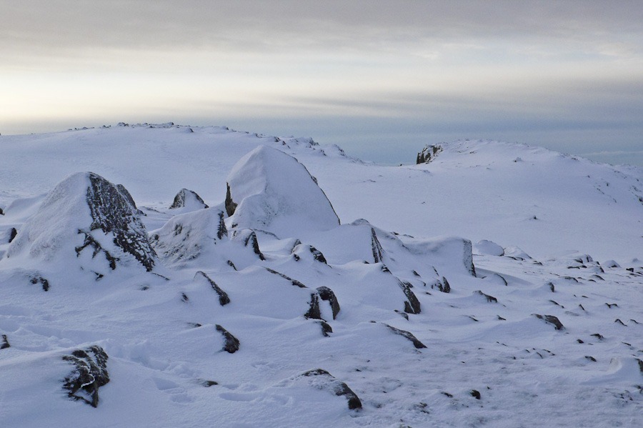
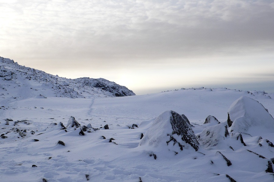
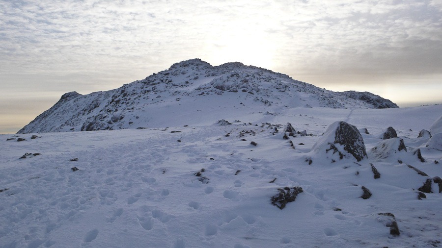 Ill Crag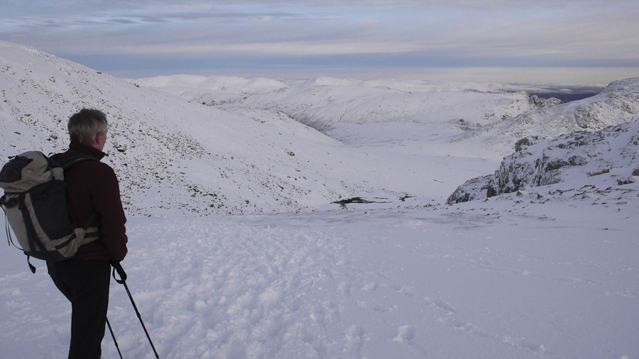
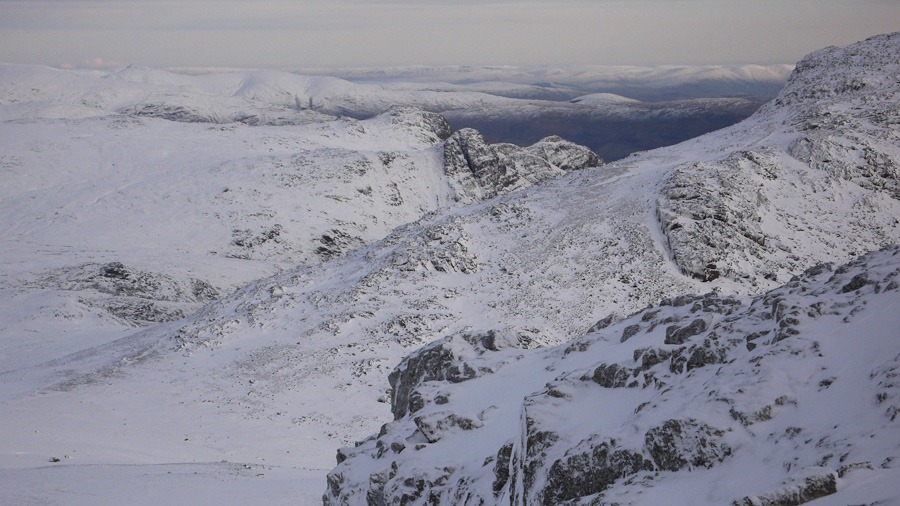
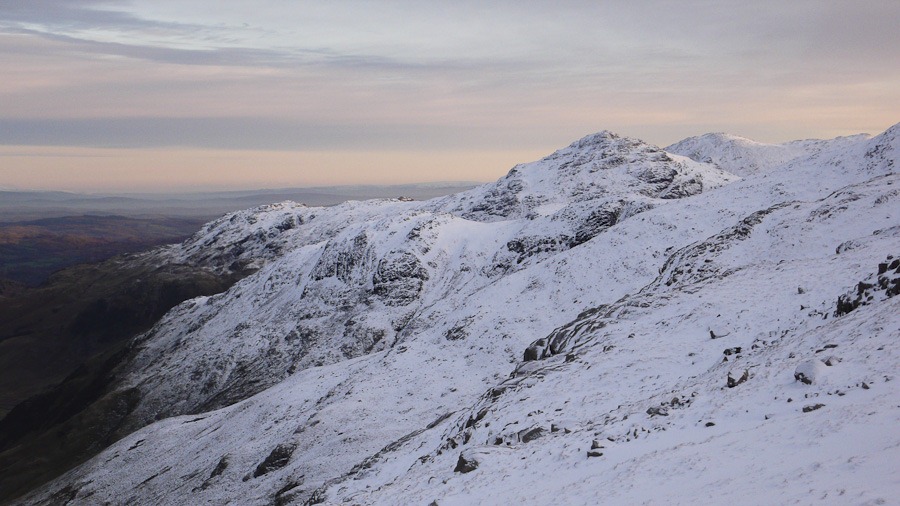
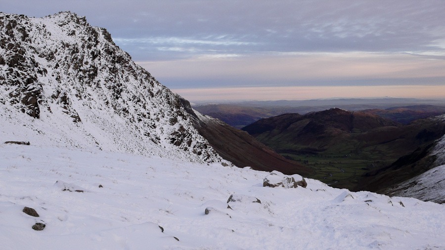 Rossett Pike
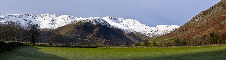
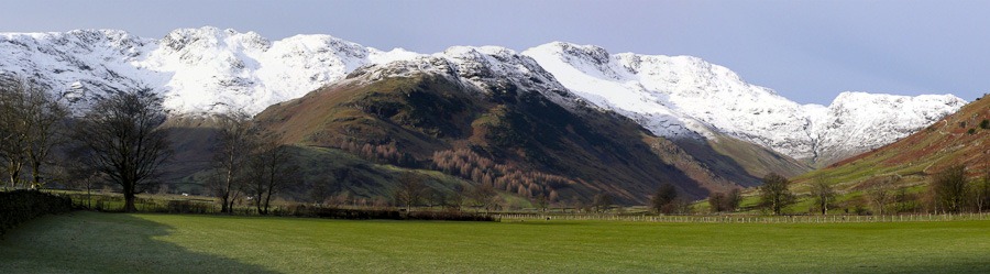
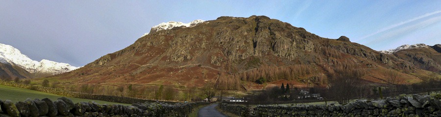
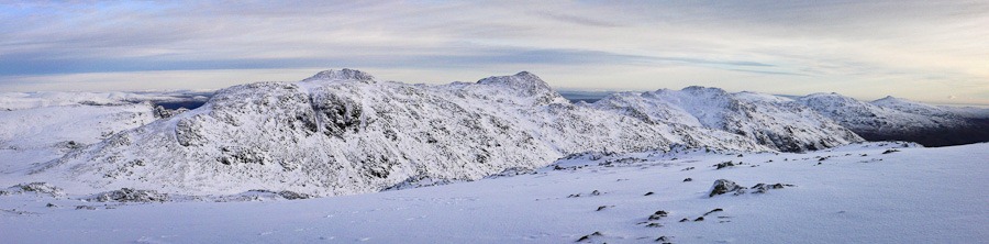
Esk Pike, Bowfell, Crinkle Crags from Cockley Beck
High Gait Crags 572m Pike de Bield 810m Esk Pike 885m Bowfell 902m Shelter Crags 815m Gunson Knott – fifth Crinkle 815m Fourth Crinkle 832m Third Crinkle 840m Long Top – Second Crinkle 859m First Crinkle 833m Stonesty Pike 765m Little Stand 740m
We set off up the Mossdale valley in heavy rain – which was not forecast – but luckily it did clear as we reached the head of the valley and looked down towards Lingcove Beck and the Scarfell range. The Beck proved a challenge to cross we had to walk quite a way upstream before we could find a way. WE then went up to the coll on the ridge and gained an amazing view across to Scarfell, broad Crag and Ill Crag. The weather although calm most of the time became very gusty at times. We didn’t see a soul until Esk Pike but then the weather turned a bit inclement as we approached the Crinkles the clag came down and the fine hail. Not a place to be in the mist…..luckily it cleared and we had a good walk along and then down reaching the car in the near dark – 7 hours altogether
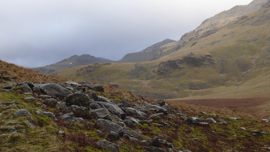 Bowfell peeping out with Pike de Bield on the left
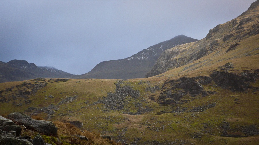 Bowfell and Pike de Bield on the left
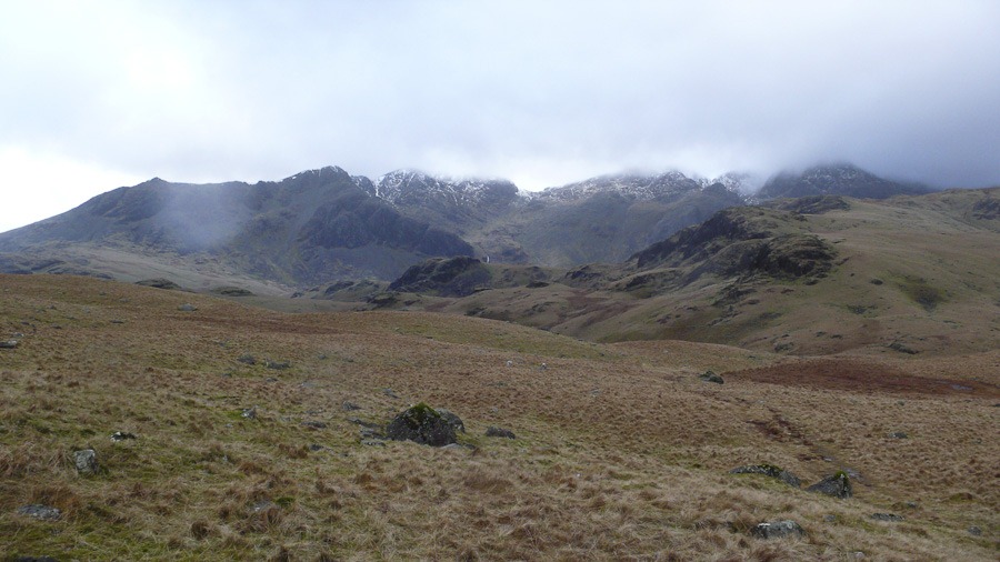 Scarfell, Broad Crag, and Ill Crag
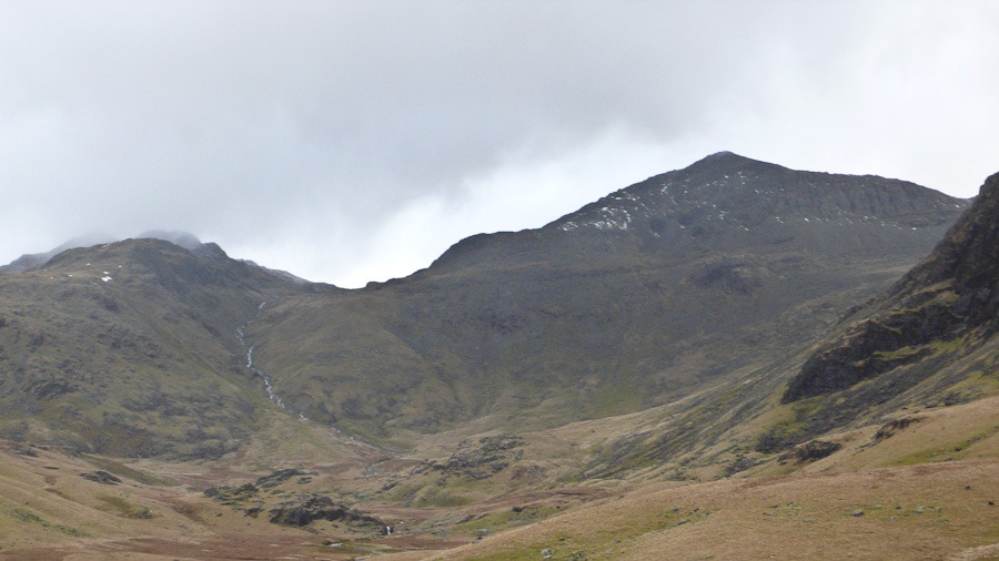 Esk Pike in the distance with Pike de Bield with Bowfell on the right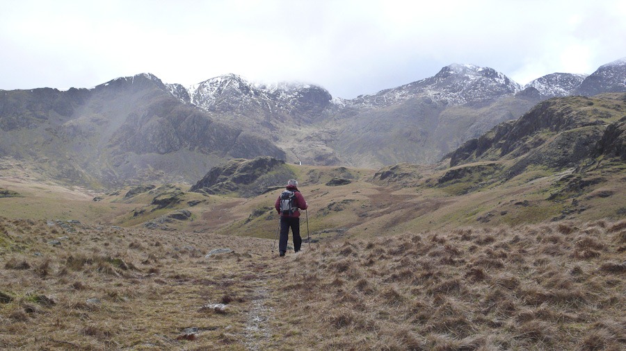
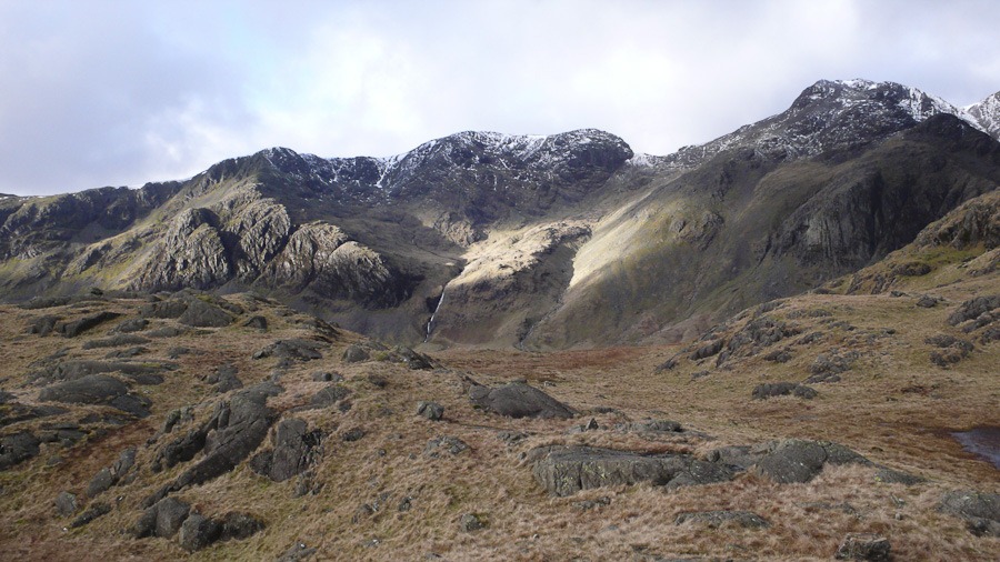
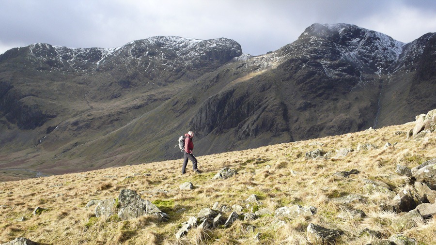
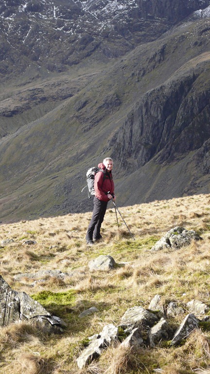
 Esk Pike and Pike de Bield
 Bowfell and the Crinkle Crags
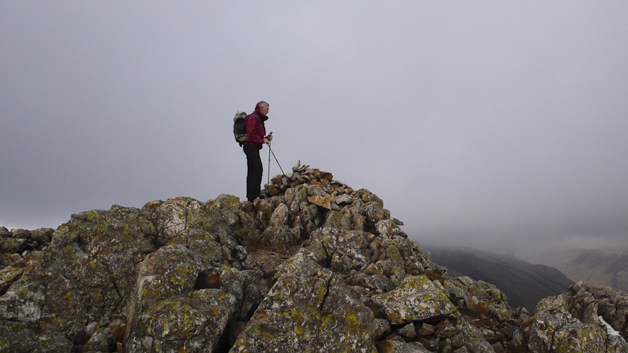 Esk Pike Summit
 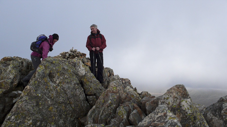 Esk Pike Summit
 Dow Crag right in the distance with the crinkle Crags and Bowfell in front
 Looking back to Esk Pike
 Bowfell and Bowfell links from the Crinkles
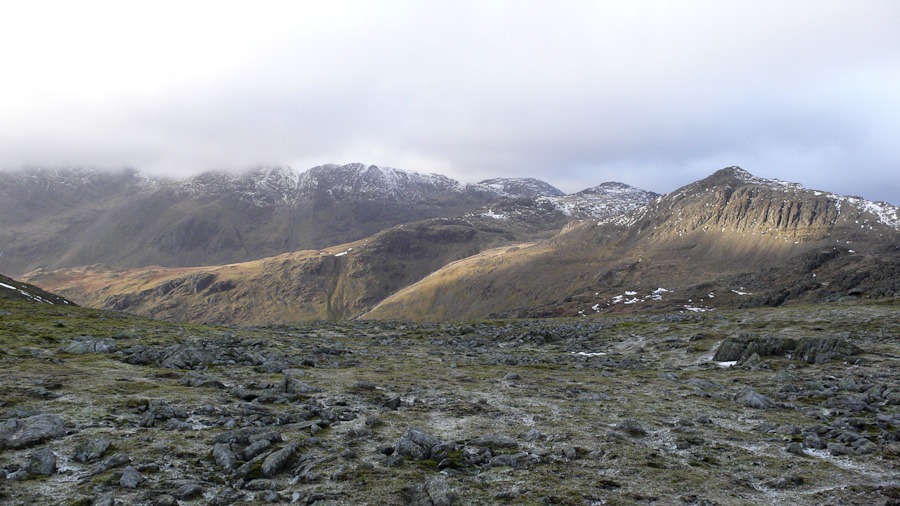 You can see the way we walked up the middle ridge to Esk Pike
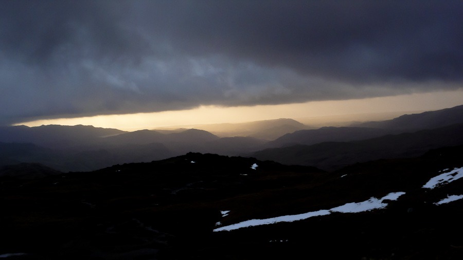

The Deepdale Horseshoe
Skelgill Bank 338m Catbells 451m Maiden Moor 576m High Spy – Scawdell Fell 653m Dale Head 753m Hindscarth 727m High Crags 529m Red Knott 452m Scope End 412m
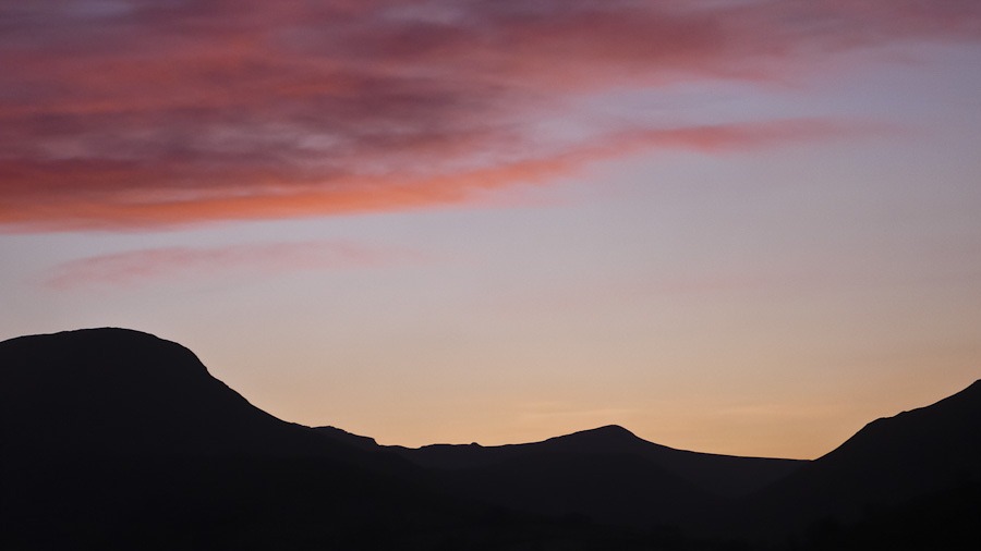
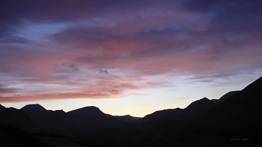
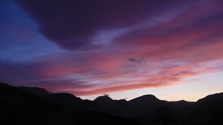
Another amazing day and another brilliant horseshoe and a wonderful sunset.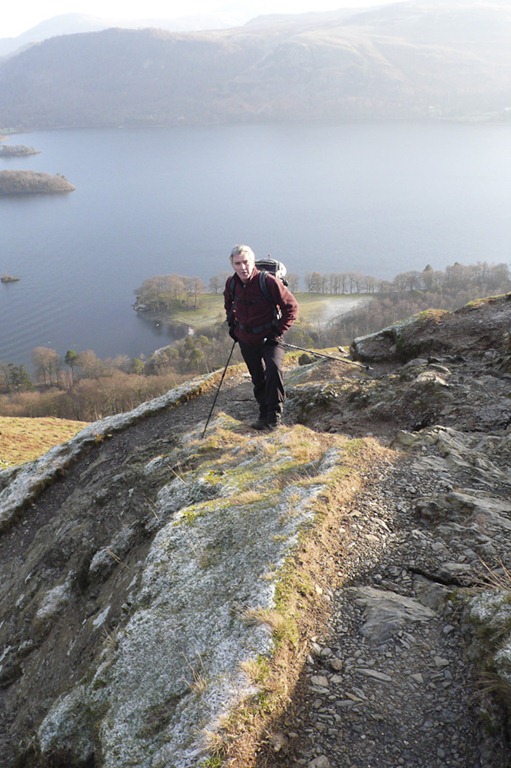
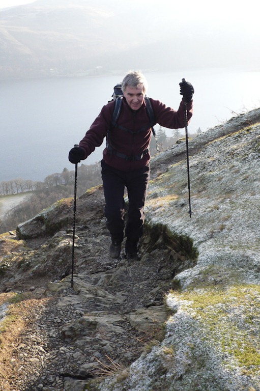
 Causey Pike with Grisedale Pike in the background
 On the way up Catbells
 High Spy
 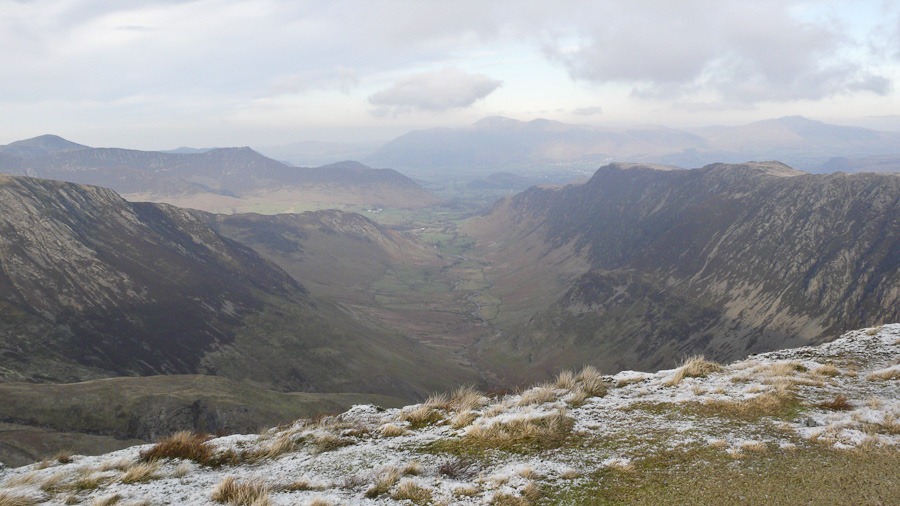 Looking down Deepdale from Dale Head
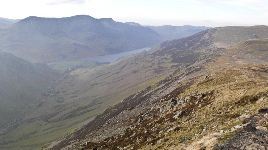 looking down Buttermere from Dale Head
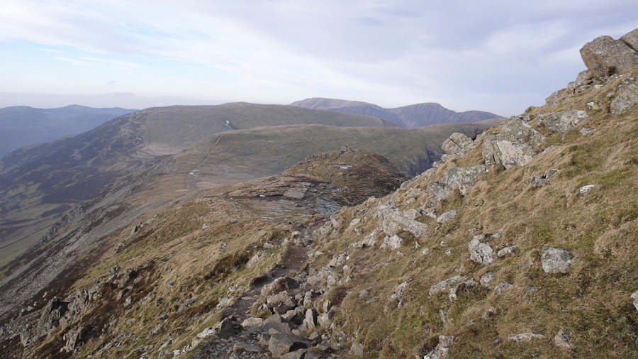 Littledale Edge and Grasmoor on the skyline
 High Crags
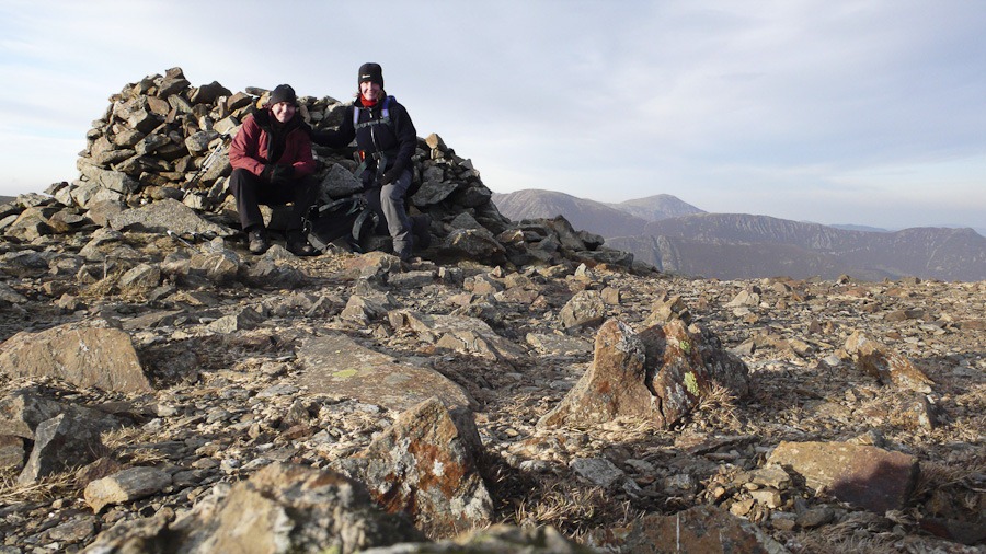 High Crags Summit
  Sunset over Derwent Fells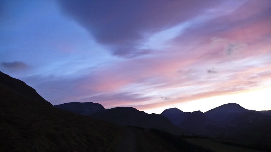

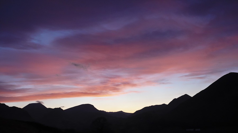

 High Crags Hindscarth
Third time lucky for the Fairfield Horseshoe
Low Pike 508m High Pike – Scandale Fell 656m Dove Crag 792m Hart Crag 822m Fairfield 873m Great Rigg 766m Rydal Fell 621m Heron Pike 612m Nab Scar 442m
What a glorious day, we walked at a good pace and completed the round in 6 hours even taking in a small detour at the end to avoid walking on the road.

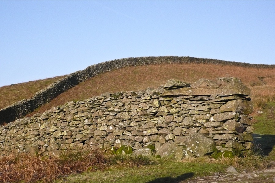
 On the way up High Pike
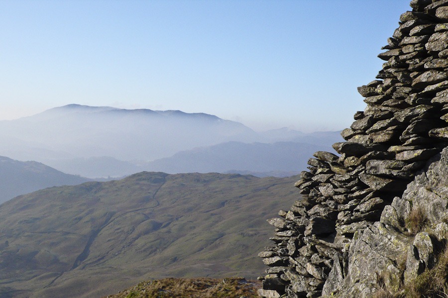
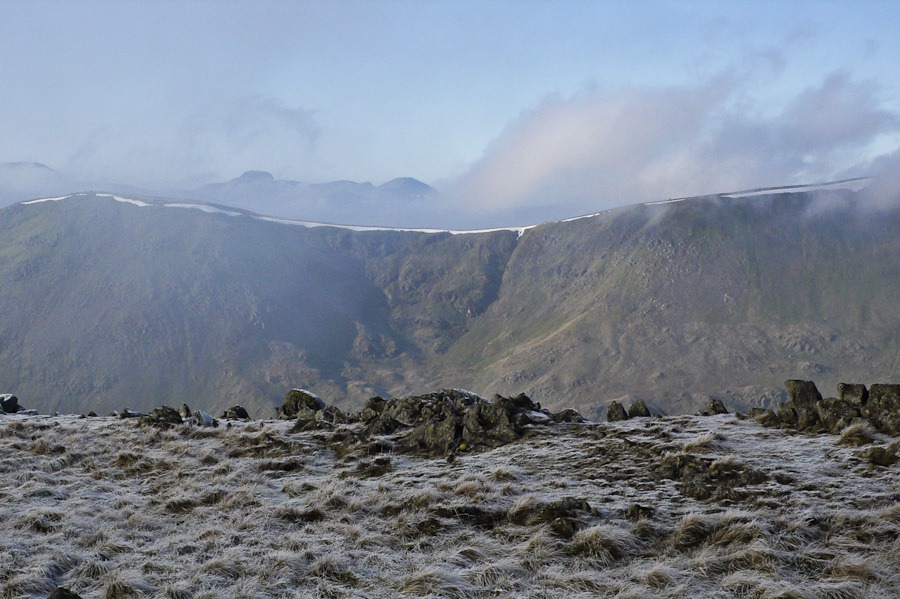 Great Rigg and Great Gable behind from Dove Crag
 Hart Crag in the mist
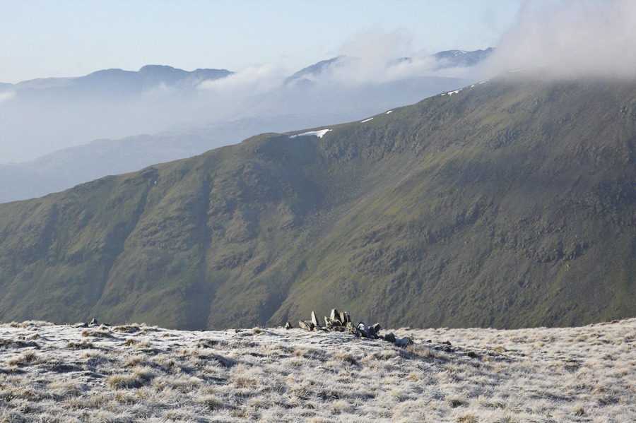 Looking West
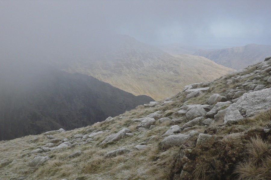 Looking East to Patterdale
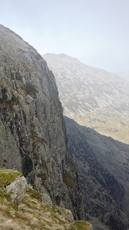
Scrubby Crag
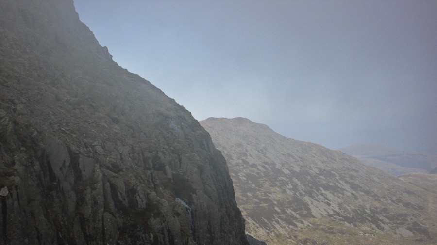 Scrubby Crag
 Hellvellyn and Striding Edge
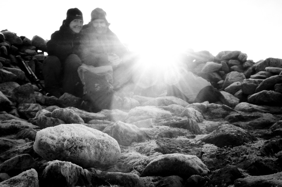 Fairfield Summit
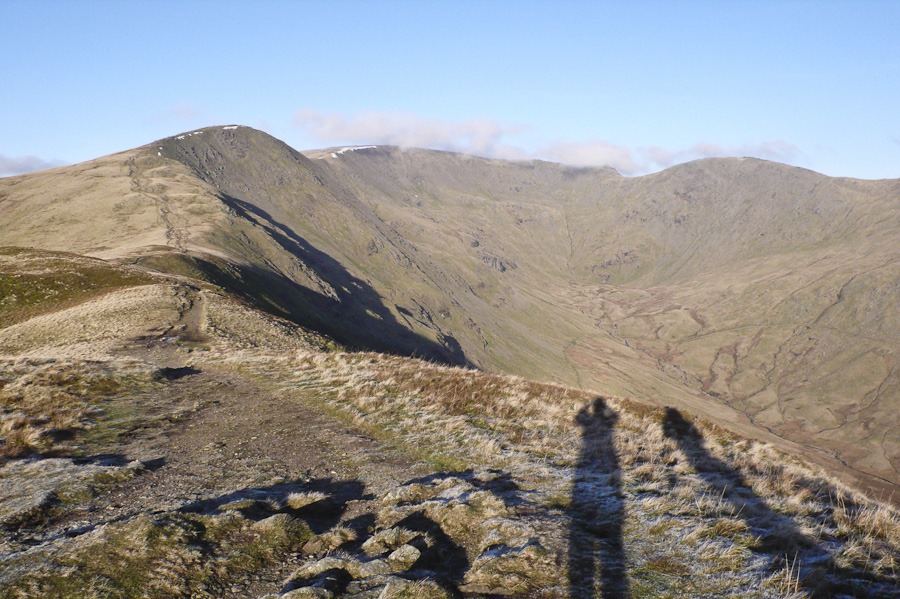 Looking back down toward Fairfield Great Rigg on the left and Hart Crag on the right
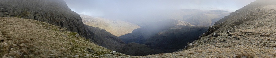 Scrubby Crag
 Mountain Days and Photo Nights