A Tour of Grisedale: 13th March 2011
Distance: 54.20 Km Time: 3 Hours 33 Minutes Av. Speed: 15.22 Km/h Max Speed: 47.11Km/h
Well I didn’t take many photographs but it was a wonderful day – perfect blue sky – and views of just about all the fells in the Lakes. It was a moderate ride and we took it easy really. Had a nice stop for lunch in Coniston and a coffee and cake at Lakeside.
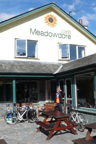

Through the Trough: 6th March 2011
Distance: 61.82 Km Time: 4 Hours 3 Mins Av. Speed: 15.23Km/h Max Speed 50.22
Today was lovely and sunny….i forgot my drink but had more clothes on today! It was a great ride, my legs were a bit tired from last time…and the roads were not in very good nick. We had a bacon buttie from the tea wagon in the Trough. then an ice cream from Dunsop Bridge. We got totally lost coming out of Chipping but managed to get back on to the route!. Next time take the map as well as the book.

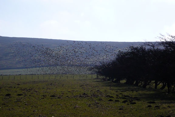
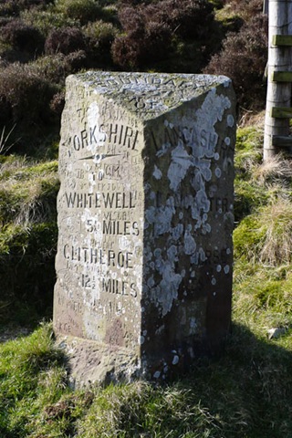
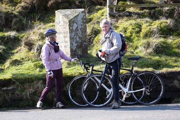
Hawes, Aysgarth, and Hubberstone: 5th March 2011
Distance: 51.42 Km Time: 3 h 19mins AV. Speed: 15.47 Km/h Max speed: 50.41
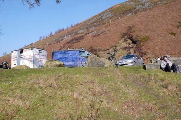
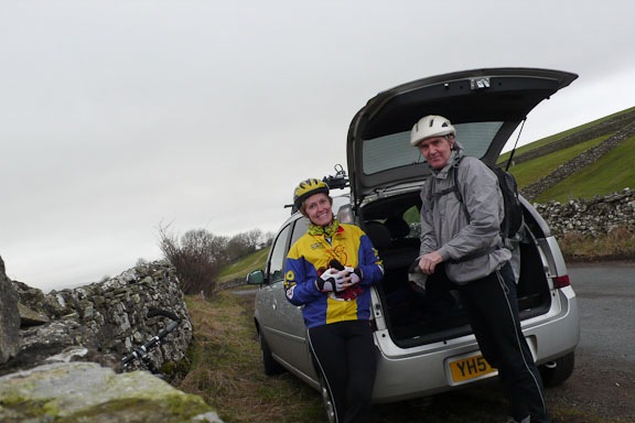
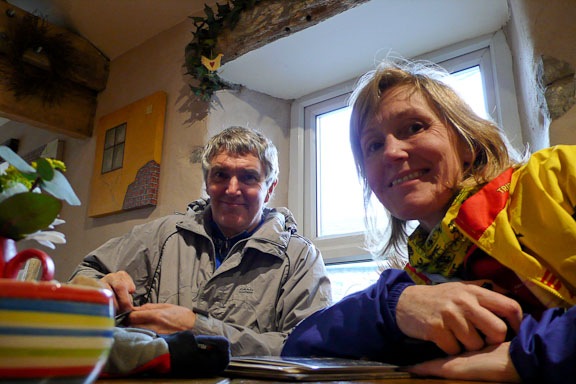
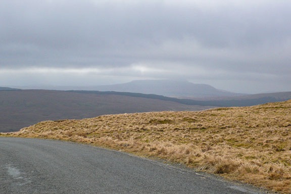
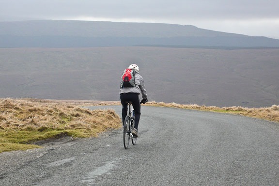
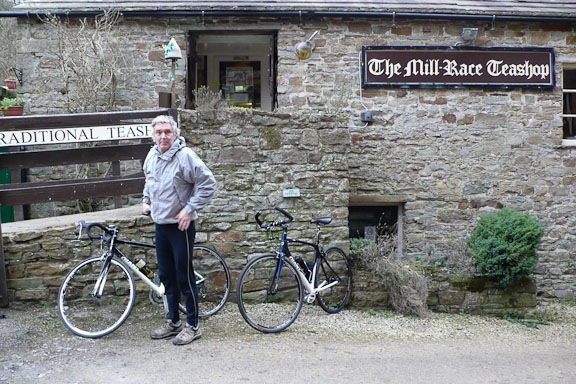
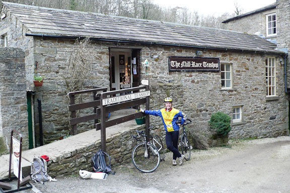
We decided that we would have two days on our bikes this weekend as we had finished all we had to do before the carpet fitters came on Monday. The forecast was a lot better than it appeared on the day! and I began to think that i had not got enough clothes on! We parked just outside Askrigg and headed to Hawes where we stopped for a coffee and cake. Then off through Gayle and up a big hill that we sailed down last Autumn on our way to Hawes for another coffee and cake!. We passed the Roman road and whizzed down toward Buckden. I got seriously cold feet and fingers – not to self – remember to get winter gloves. Somewhere passed Buckden I got a slow puncture which needed blowing up every now and again. We stopped at Aysgarth for a cuppa and a lunch. A good but cold day. but luckily not rain!

First Ride of 2011 from Burton 28th February 2011
Distance 55.01 Km Time 3 hours 43 minutes Average speed 14.78 Km/h Max speed 49.25 Km/h
No pictures for this post. Our first ride of the year we were all ready to go and really ready to go as we had spent the last two days cleaning and polishing the kitchen floor. It looked like we would be thwarted as a few drops of rain started just as we were about to leave. But it stopped and off we went. We headed to Yealand and then to Beetham. I saw a Jay and then Heron on the way to Heversham. Our first stop was at Sizerbarn for a cuppa and a cheese scone. The we headed to gateback and over some quite reasonably steep hills to Kirby Lonsdale. I saw the biggest Hare that I have ever seen and we saw two buzzards flying over head. hot chocolate and tea cakes n Kirby and then up over the top to Hutton Roof and back to Burton. An excellent day we didn’t do too bad although the average speed was a bit pants.
Skiddaw – The Greater Traverse 29th January 2011
Latrigg 368m Longscale Pike 703m Longscale Fell 715m Jenkin Hill 735m Lesser Man –Skiddaw 815m Little Man – Skiddaw 865m South Top – Skiddaw 925m Middle top – Skiddaaw 928m High man – Skiddaw 931m
What an amazing day and it started of very well, I remembered to fill the car up with diesel and put the thing on the windscreen to stop the frost. a lovely frosty morning glorious sunshine. We set of along a track which lead over the A66 and winded its way up Latrigg. there were amazing views from the top. the ground was well frozen – it was –5 when we set off. From the top we headed down to the car park. We then continued up a very steep slope to Lonscale Pike and then Lonscale fell.
It began to get a bit windy and cold on the top as we headed to Jenkin Hill. Here we joined the Highway which had come up the direct route up from the car park. There was suddenly a lot more people and the light became more interesting as mist and wind drifted over – very cold. We nearly missed the actual top of Skiddaw but realised and headed back to the trig point. A very steep decent lead us to Carl Side which we last went up with the Boys a few years ago. and then back to the road. There was a bit of a walk back on the road to the car. We then popped in to Keswick when i treated my self to a new light weight pair of Scarpa Gortex boots with my tax rebate that I got the email about on my way up Lonscale Pike – very good news as I thought that I might have a big bill!
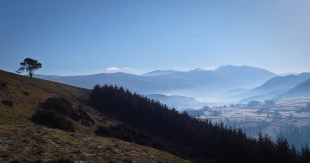
A Lone tree above the plantation on Latrigg, the Dodds and Helvellyn range in the background
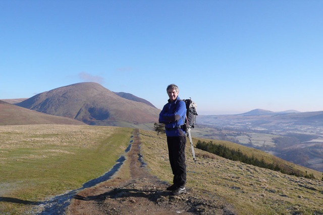 Roger on the top of Latrigg with Blencathra behind
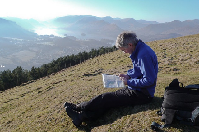

The summit of Lanscale Pike with Lonscale Fell and Jenkin Hill behind
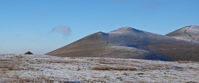
Jenkin Hill with Lesser and Little Man and the broad path up to South Top – Skiddaw
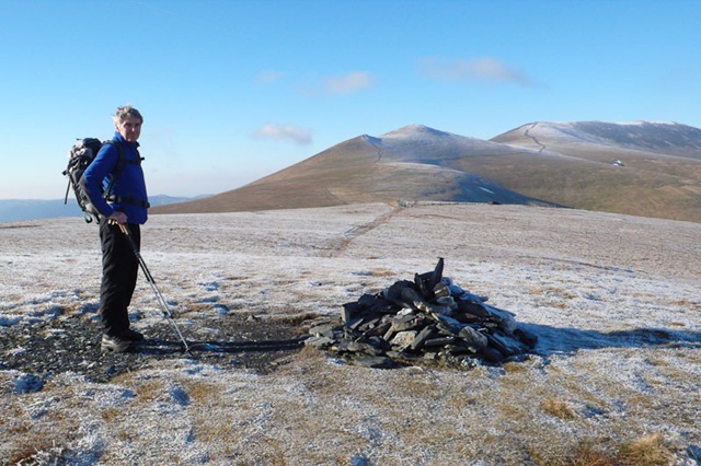

The Whole Skiddaw range from Jenkins Hill 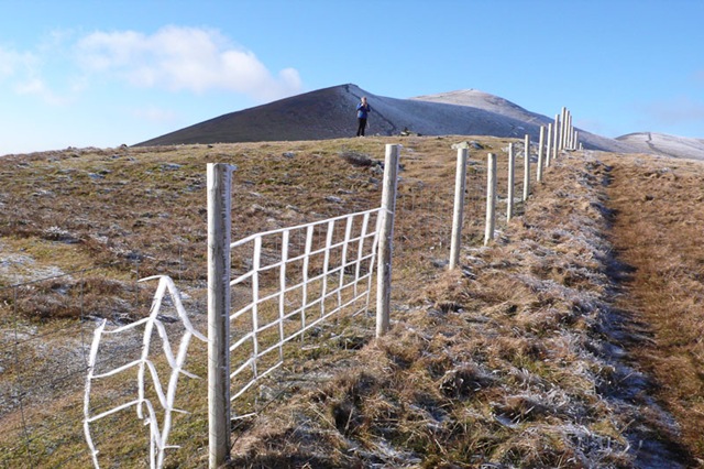

Us on Lesser Man

South Top in the mist and Ullock Pike and Long Side in the background on the left
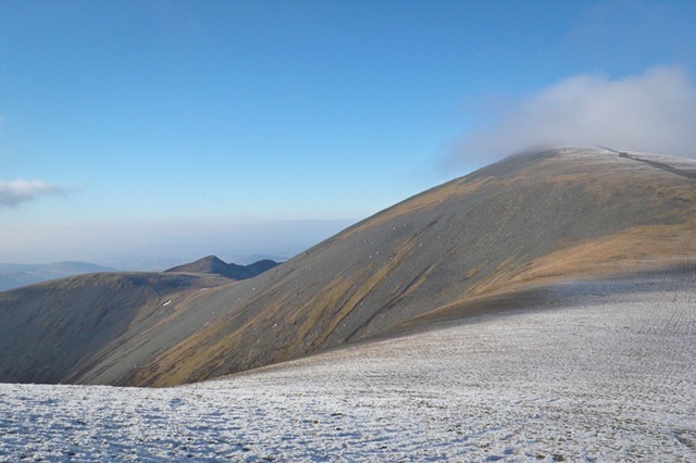
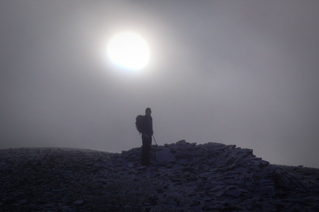 South Top
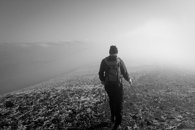
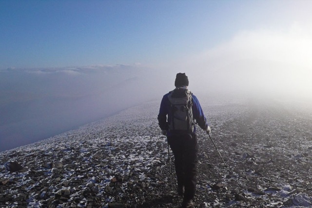
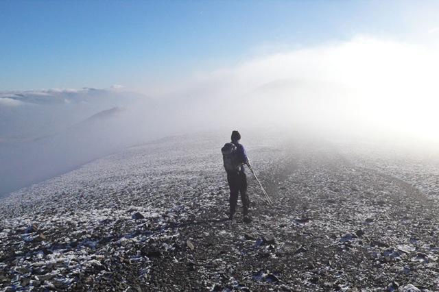


On the summit of Carl Side – see the direct route down from Little Man – we came down the path on the left
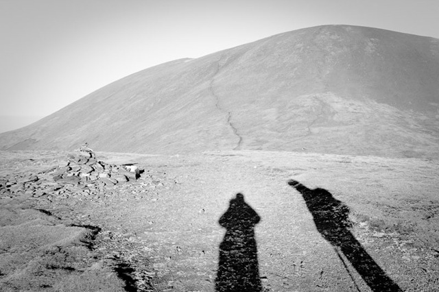
Stonethwaite to High Raise 23rd January 2011
Today was a bit dull – the light was very flat- but the ground was frozen so we should have a good walk over frozen bog!
We parked next to a camper van which was for sale, peered in the windows but it looked a bit not to cosy inside I think that we would like something a bit cosier. I had a bit of a sore throat and was a bit underthe weather.
We set off up the valley past the campsite and crossed the beck at the foot bridge. We headed up the steep flank of Eagle Crag and reached the top by the most ziggy zaggy path we had ever been on!. from there we could see Sergeant’s Crag and the rest of the route up to High Raise. It was a very quiet and devoid of people until we arrived at High Raise – suddenly it was crowded. There were fantastic views of just about every peak in the lakes and it is lovely to feel that we can recognise most of them.
Great End still has snow in the gullies. On the way down we passed low White Stones and Lining Crag – which was very impressive looking back.

Sergeant’s Crag from Eagle crag
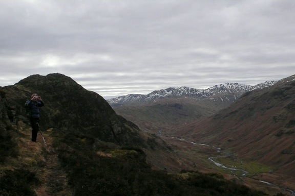
Sergeant’s Crag with Langstrath and the head of Langdale behind and Bow Fell and Esk Pike

Pike of stickle peeping up between Sergeant’s Crag and High Raise
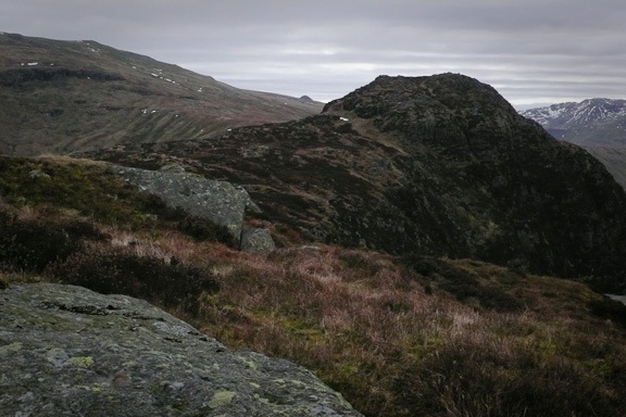
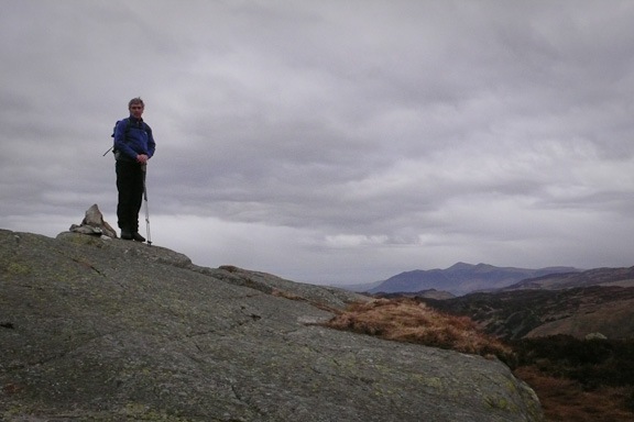
The summit of Eagle Crag
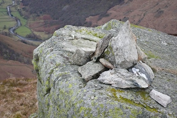
Stonethwaite from Eagle Crag

High Raise from Eagle Crag with Sergeant’s Crag to the right

On the top of High Raise
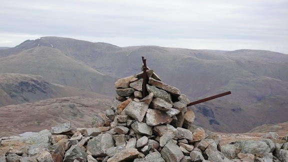
Low White Stones Summit Cairn, Fairfield behind

High Raise from Low White Stones
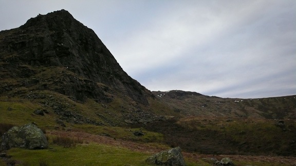
Lining Crag with Long Crag on the sky line
Armboth High Tove Round 22nd January 2011
After not being able to get out last weekend due to the terrible weather – wet and mild! – we were so glad that the weather has turned colder and the ground has been frozen for a couple of days so Roger wisely identified a walk that was very boggy and he had been saving for such a day. A smashing day walking over frozen bog!
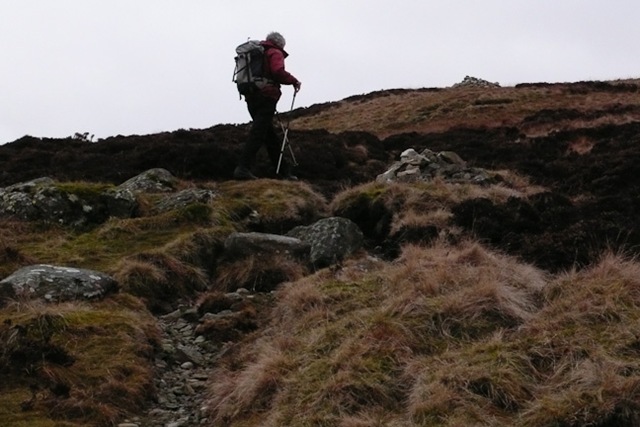
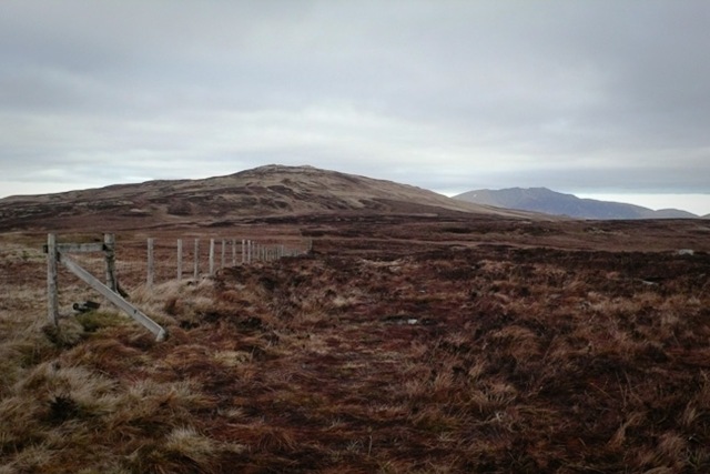
Roger heading to the Summit of High Tove
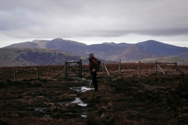
On High Tove with the Buttermere Fells in the background
High Seat from High Tove
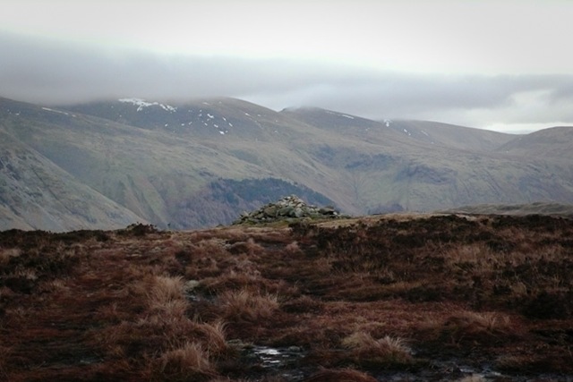
High Tove summit Cairn with Helvellyn
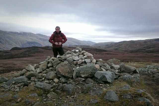
High Tove
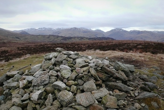
Glaramara and Great Gable from High Tove
High Tove
looking back at Middle Crag
Shivery crag summit with Glaramara behind
Looking back towards Blencathra
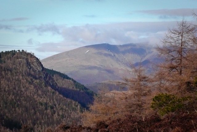
Shivery Crag and Middle Crag from Watendlath fell
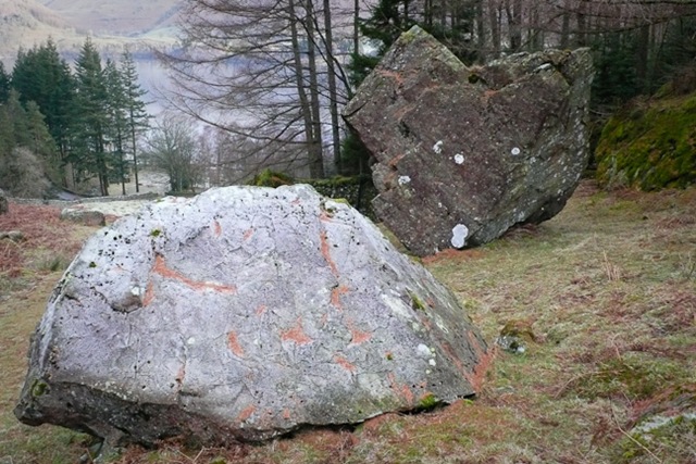
Eagle Crag
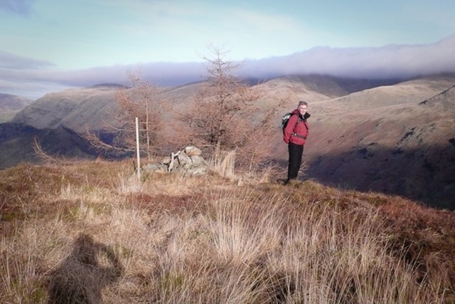
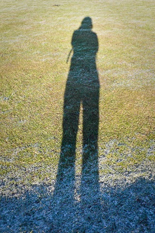
Me in shadow and Roger on Fisher Crag
The Bannisdale Horseshoe 9th January 2011
Whiteside Pike, Todd Fell, Capperbarrow, Ancrow Brow, Bannisdale Fell, White Howe, Lamp Pasture.
This was our fourth outing of the year and we were hoping that it would be a good day. Roger had been saving this walk for a cold day as it has a lot of boggy patches. We were hoping that it would be frozen enough to walk over with out sinking in. There had been a little snow over night but by morning it had been raining a little. The road that we intended driving up to access the beginning of the walk was sheet ice, all was saved as we headed up the A6 a little way and walked along a track to pick up the beginning of the horseshoe.
It was a long isolated walk over eight tops, the ground was frozen beautifully so the going was not too bad. At the head of the valley we got a lovely view down the valley. After a bit of rainy sleet the sun game out and light was wonderful. We were out for 6 hours in total.
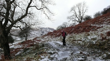
On the track heading up to the beginning of the valley
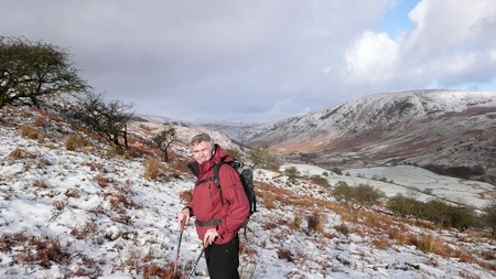
Looking down Bannisdale Valley, White Howe on the right
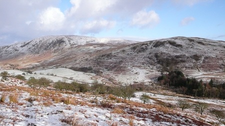
White Howe, Borrowdale Head and Lamp Pasture from Whiteside Pike
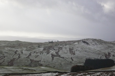
looking across Longsleddale from Whiteside Pike
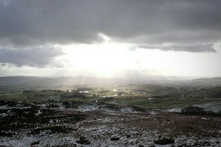
Looking towards Kendal
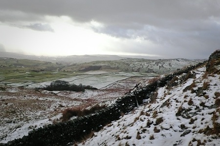
Looking across Longsleddale from Whiteside Pike

Whiteside Pike

Roger walking across frozen bog
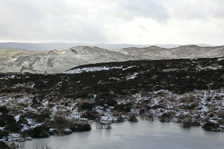
Sleddale forest from Whiteside
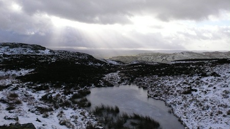
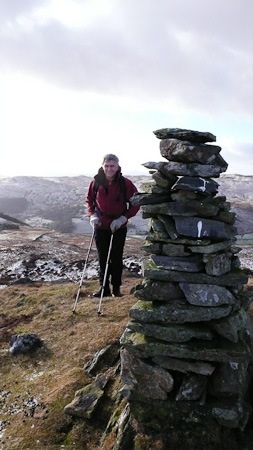
Whiteside Pike 397m
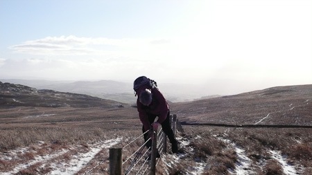
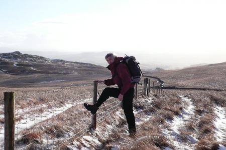
Roger fence climbing – there was quite a lot of it……..
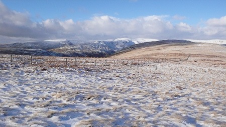
Capplebarrow from Todd Fell

looking across to White Howe
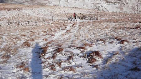
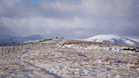
The Summit Cairn of Capplebarrow
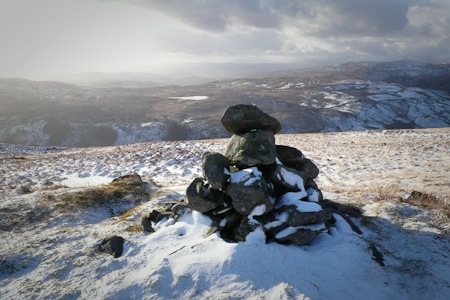
Capplebarrow Summit Cairn 512m

Looking back down the valley
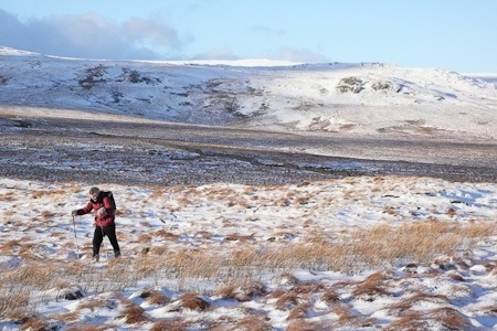
White Howe 530m
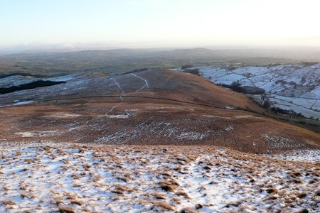
Lamp Pasture
Dow Crag and Coniston Old Man
Three days in a row on the fells – Brilliant. As we set off from the car park on the Walna Scar Road the ground was frozen and the sky began to lighten and the sun come through. we walked up to the pass and then headed up to the ridge and walked over Brown Pike, Buck Pike and Dow Crags from the top of the Old Man we deviated from the book and headed down the flank of the Old Man to make a much better horse shoe. We picked up a path that went to the left of the quarry after the path became indistinct we headed down to the Walna Scar road. I was so pleased that my ankle held up very well. As the day went on it clouded over but we had great views.

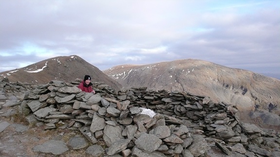
Summit of Brown Crag
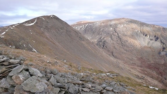
Buck Pike with Coniston on the right in the background
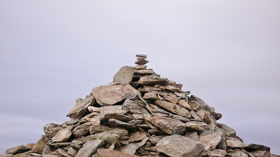
Summit Cairn of Brown Pike
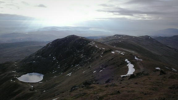
Buck Pike from Dow Crag with Blind Tarn – frozen!
Blind Tarn

Roger at the top of the easy way down – looks like it would be a good ice climb up for us if there was a bit more snow.

Scarfell and Broad Stand in the background
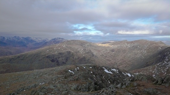
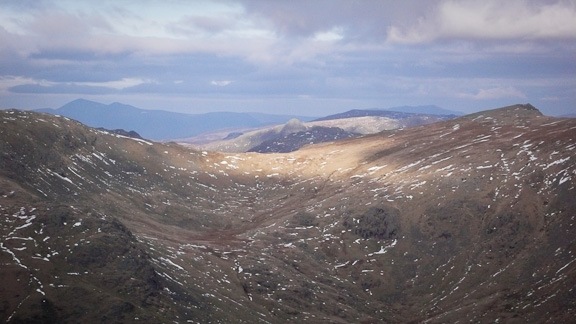
Pike of Stickle from Dow Crag

On Dow Crag
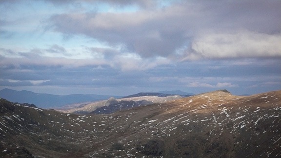
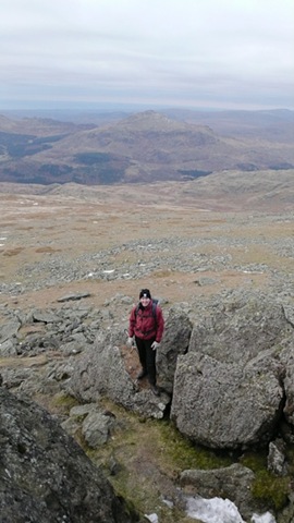
Hater Fell in the background, we went up there with Joe and did a nice scramble a few years ago.
Little Dale Horseshoe 2nd January 2011
We had forgotten that there was so little parking at Little Town, however we managed to squeeze into a little gap off the verge. It was colder today below freezing when we set off and the ground was frozen all day. We struggled to remember if we had done this ridge walk before and thought that we probably hadn’t although we have vague memories of a scramble up the opposite side of the valley and then a ridge walk back round.
The ridge was a lovely sharp ridge with a little scrambling we went over Scope end, Red Knott and High Crags to Hindscarth. Dropped down to the pass and up to Robinson a splendid mountain! on the way up Robinson we picked out Glaramara, Great End( not much snow in the gullies at all), Bow Fell, Great and Green Gable, Scarfell, kirkfell, and Pillar, then we loked down Honistor pass and gazed on the fells on the other side of the Buttermere valley. We remember walking round there a couple of Christmas days ago!
Our legs and my ankle bore up very well. A splendid walk. back home we checked the books and we had in fact been round this ridge walk in June 2004 but the other way round.
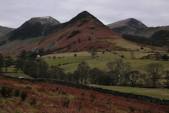
The Little Dale horseshoe, High Crags is the pointy one at the front, Hindsgarth to the left and Robinson to the right
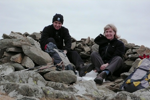
Us on the summit of Hindsgarth
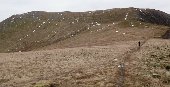
The pass between Hindgarth and Robinson
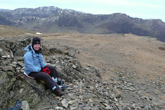
A Robinson on the Summit of Robinson, Hay Stacks and High Style in the background. 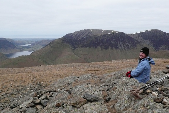
This time Grasmoor and Crag Hill in the background

Robinson Summit
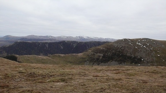
Hindscarth and the ridge – Scope End, Red Knott and High Crags
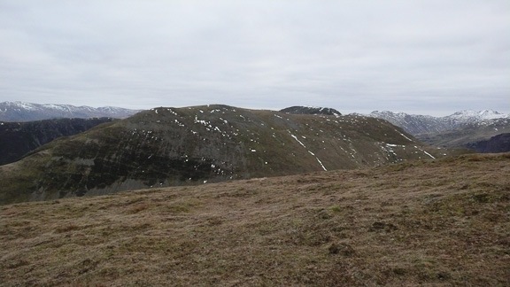
Hindscarth from high Snab Bank
 Mountain Days and Photo Nights