The Hunt for a Cave and a return to a favourite Scramble
Cam Crag Ridge grade 2 (Last done in May 1996)
Rosthwaite Fell 612m Dovenest Top 632m
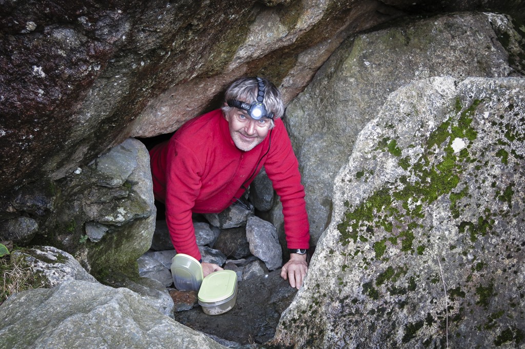
Roger read that there was a cave at the bottom of Cam Crag Ridge we spent lots of time looking for it and in fact we tried a couple of times to crawl down the flue from the fire! eventually we found it and it was a lovely cosy place. cam Crag ridge was a great scramble I thought it might be a bit wet but it was fine and dry. once we got to the top the weather was beginning to get a bit inclement we headed to the top of Dovenest Top. Then we went up to Rosthwaithe Fell and down the other side of the valley and walk
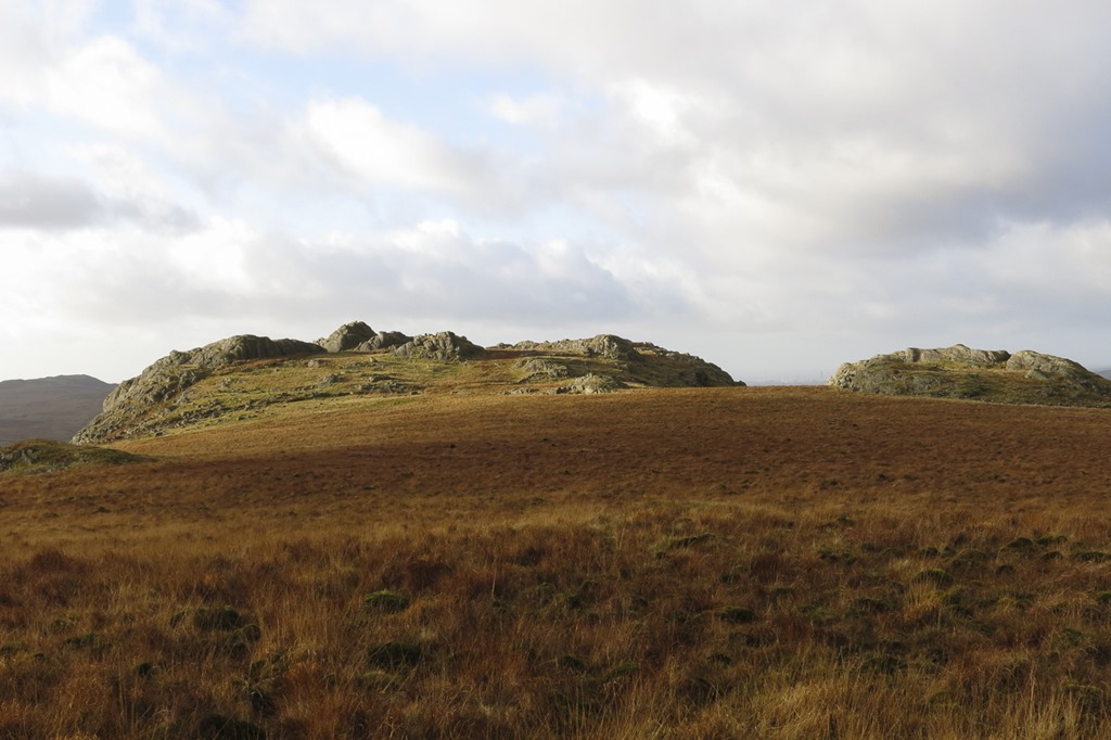
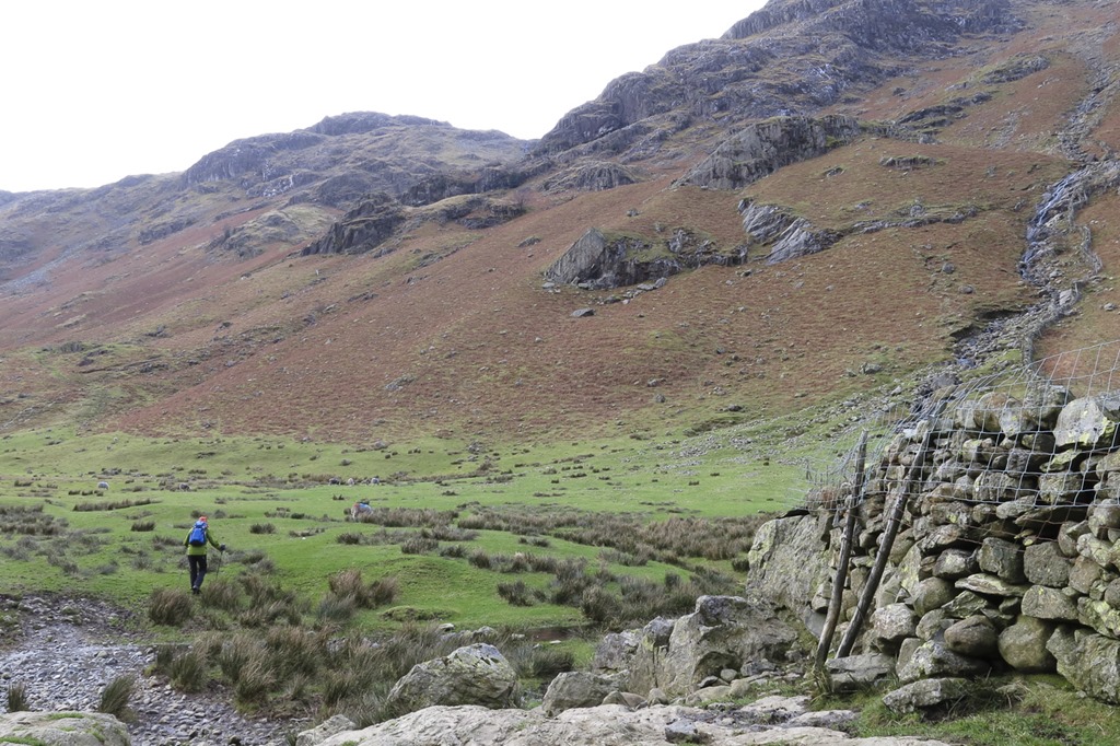 The first spur of rocks is where we thought the cave was and the second was Cam Crag ridge
 Roger looking for the cave
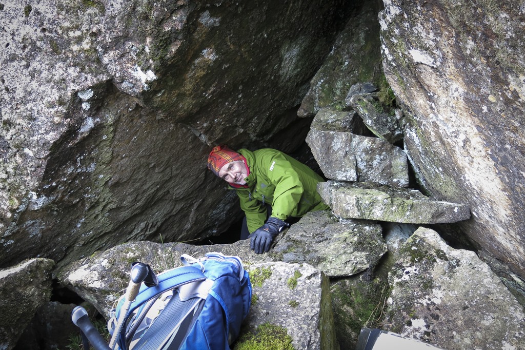 Not the cave
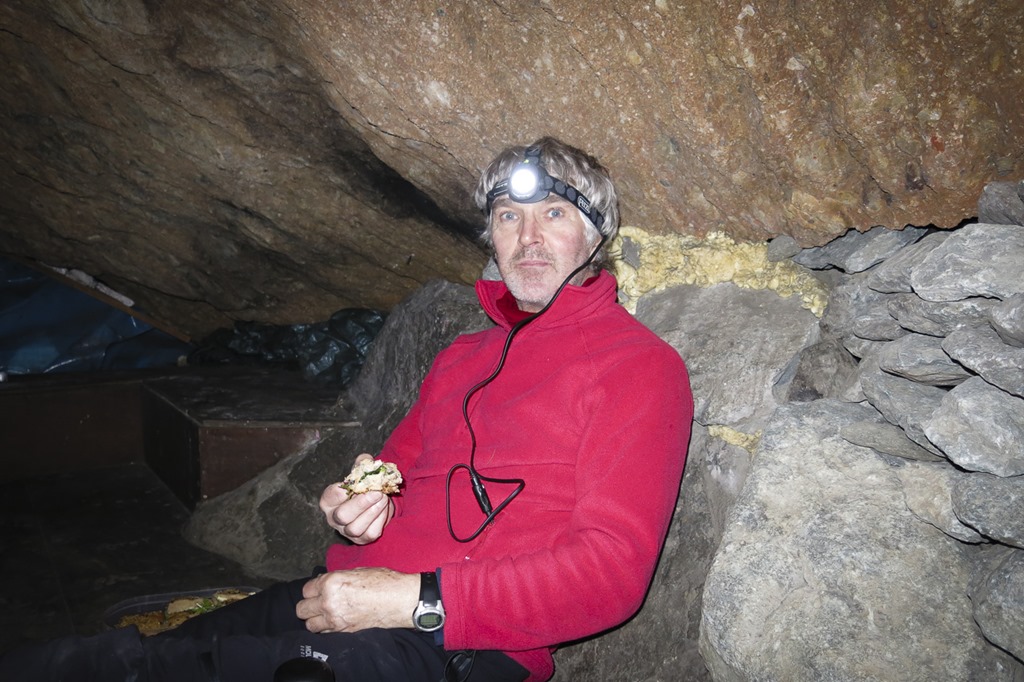 Inside the cave

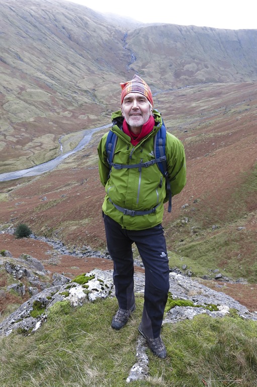

Looking up to Dovenest top

Looking down from the dovenest Top to the top of Cam Crag Ridge
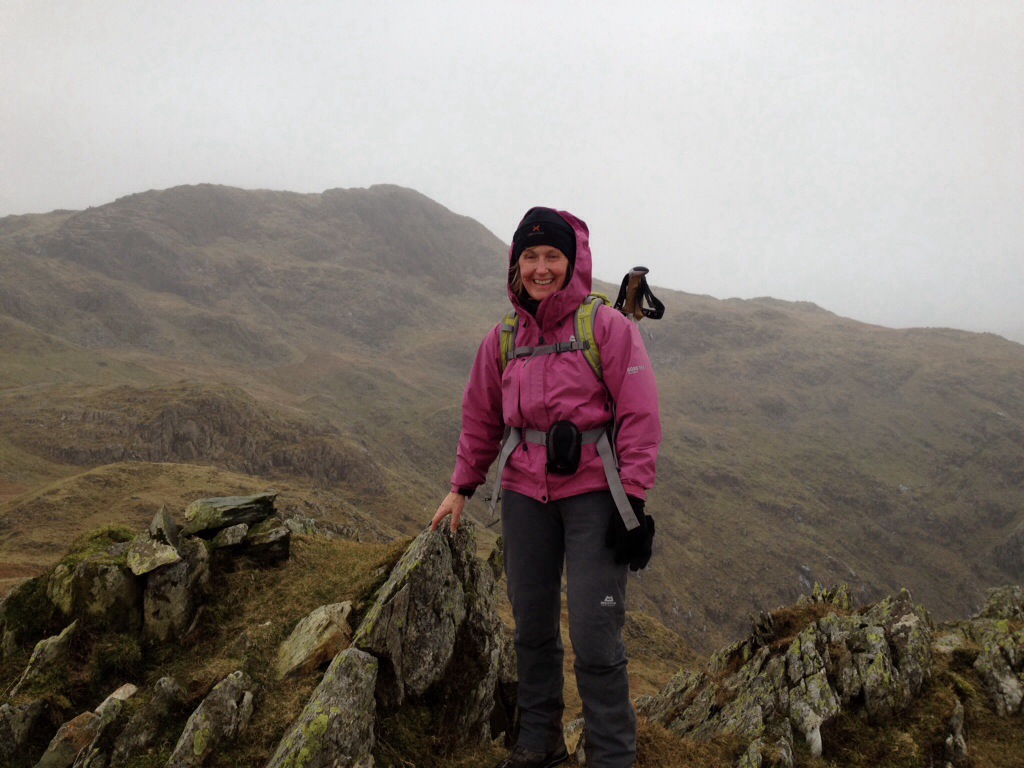 Dovenest Top Summit
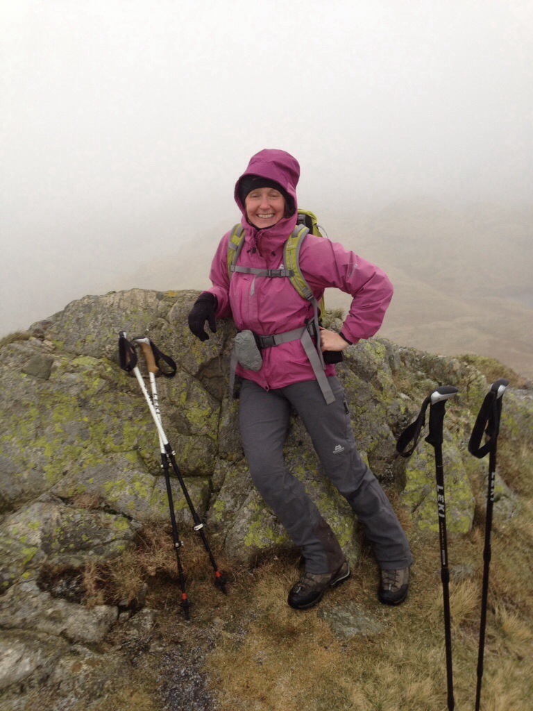 Rosthwaite Fell Summit
A windy day over Birker Fell
Great Worm Crag 427m Birker Fell-White How 446m Green Crag 489m Crook Crag 469m Great Whinscale 425m Broad Crag – Birker Fell 372m Birker Fell-Great Crag 338m
It was a windy day with quickly changing light. We had a bit of trouble finding Great Whinscale we thought it should have been the highest point – where the cairn is but peek hunter said it was on top of the crag a bit lower down. interesting. Oh and we really should look at the map more we completely missed out one peek notably Kepple Crag! another to go back to!


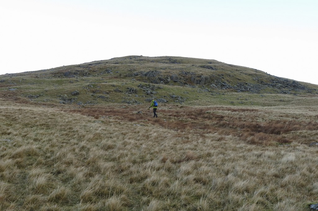 Roger heading to the first fell great Worm Crag
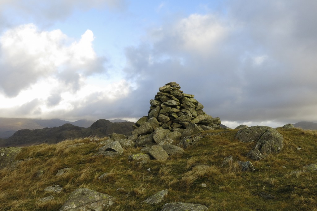 Great Worm Crag summit Carn
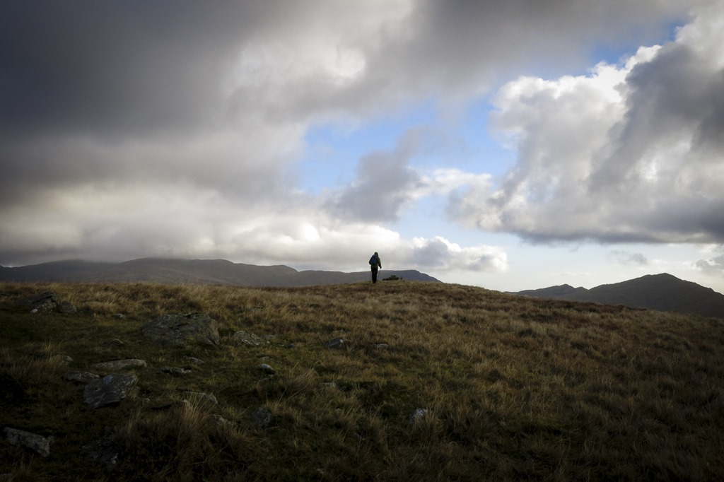 Roger approaching White How
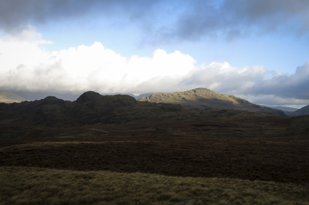 Looking towards Green Crag and Crook Crag
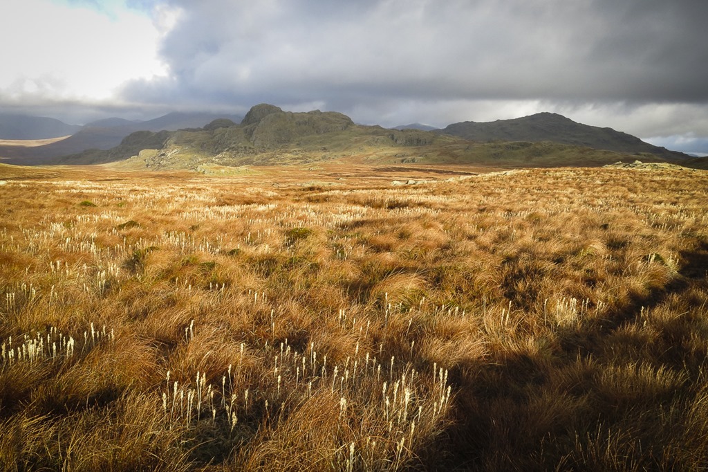 Green Crag and Crook Crag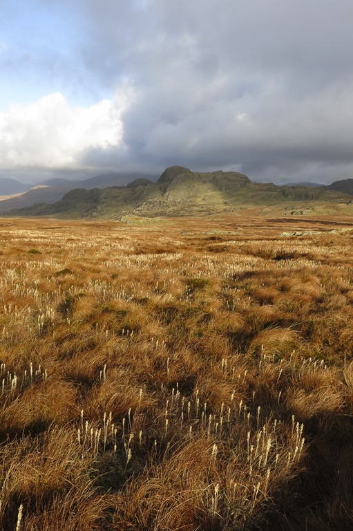

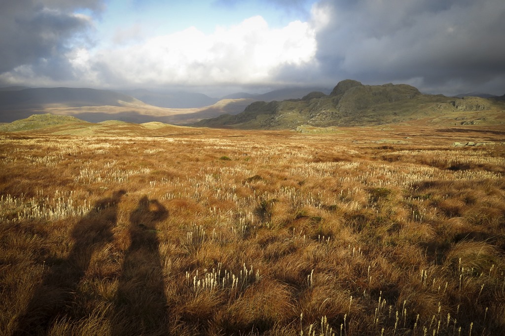
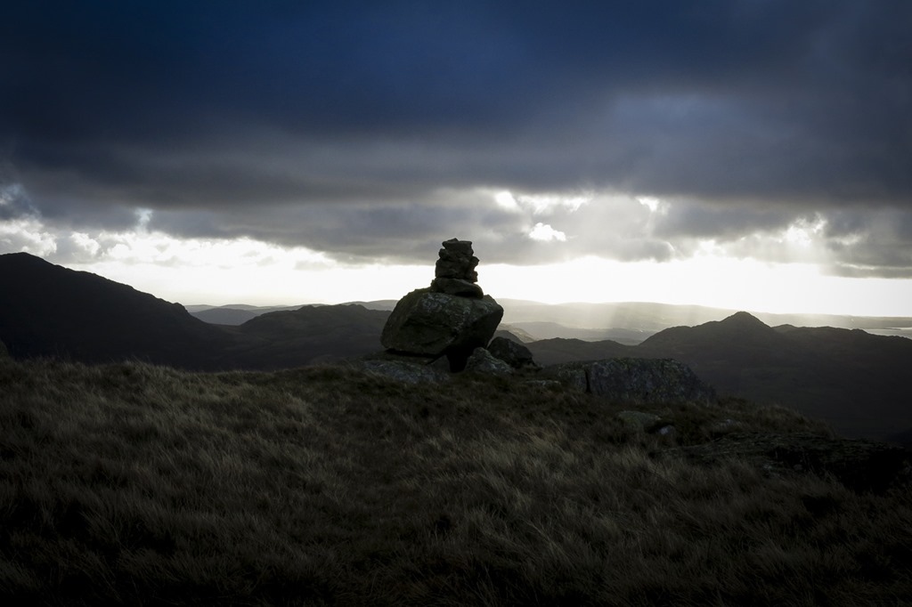
 Birker Fell White How 444m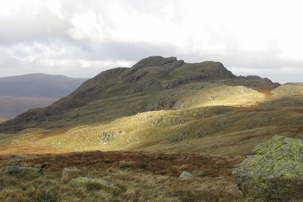
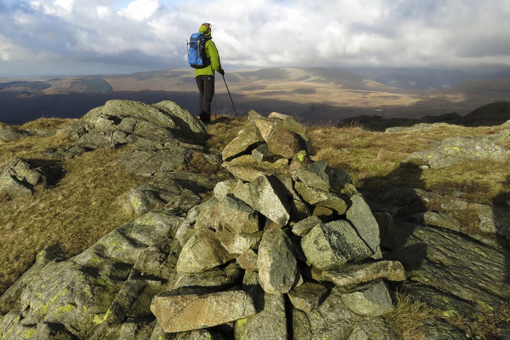 Green Crag summit
 Looking to Green Crag from Crook Crag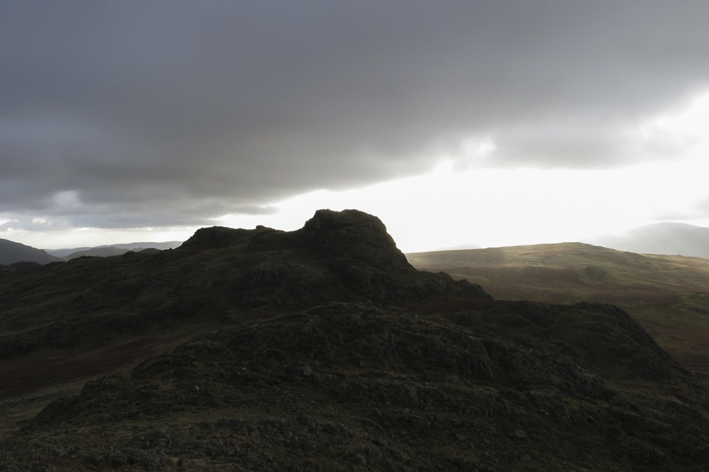
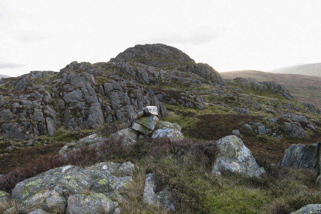 We thought that this was Great Whinscale…but apparently not
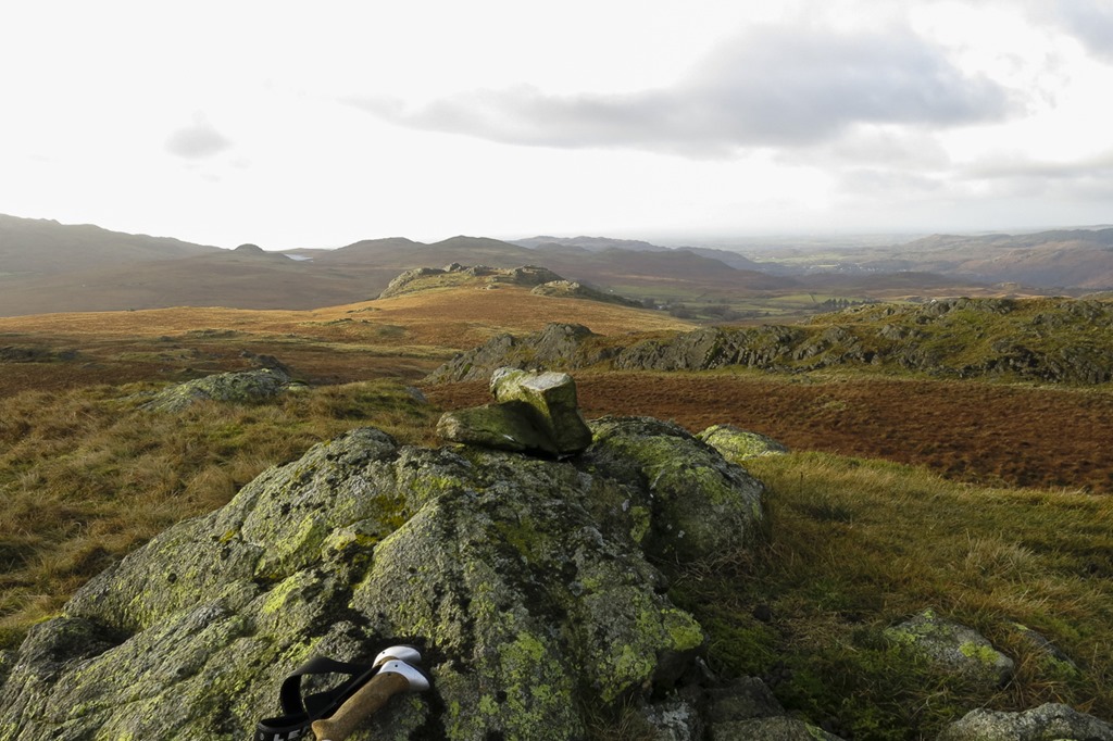 Broad Crag – Birker Fell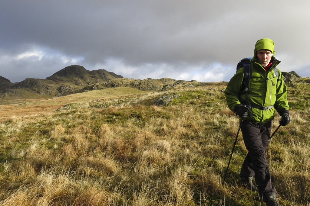
Creag Dhubh and the Argyll Stone
Creag Dhubh 848m 6 hours
We set out from the car park at Loch and Eilein and walked round the side and along the track that goes towards the bothy on the way to Feshie Bridge. Just before it we turned up a small track that followed the burn up the hills side, it weaved up through the trees finally revealing a lovely views across to An Suidhe. It was a long way up but finally we say the Argyll Stone on the horizon and we made our way to that. When we got there the views across the strath were amazing. After a bit of a photo fest we turned North along the ridge to the summit cairn of Creag Dhubh. We then followed a ridge east down to the track that leads up to loch Ennich and back to Loch an Eilein and the car. A fantastic day.
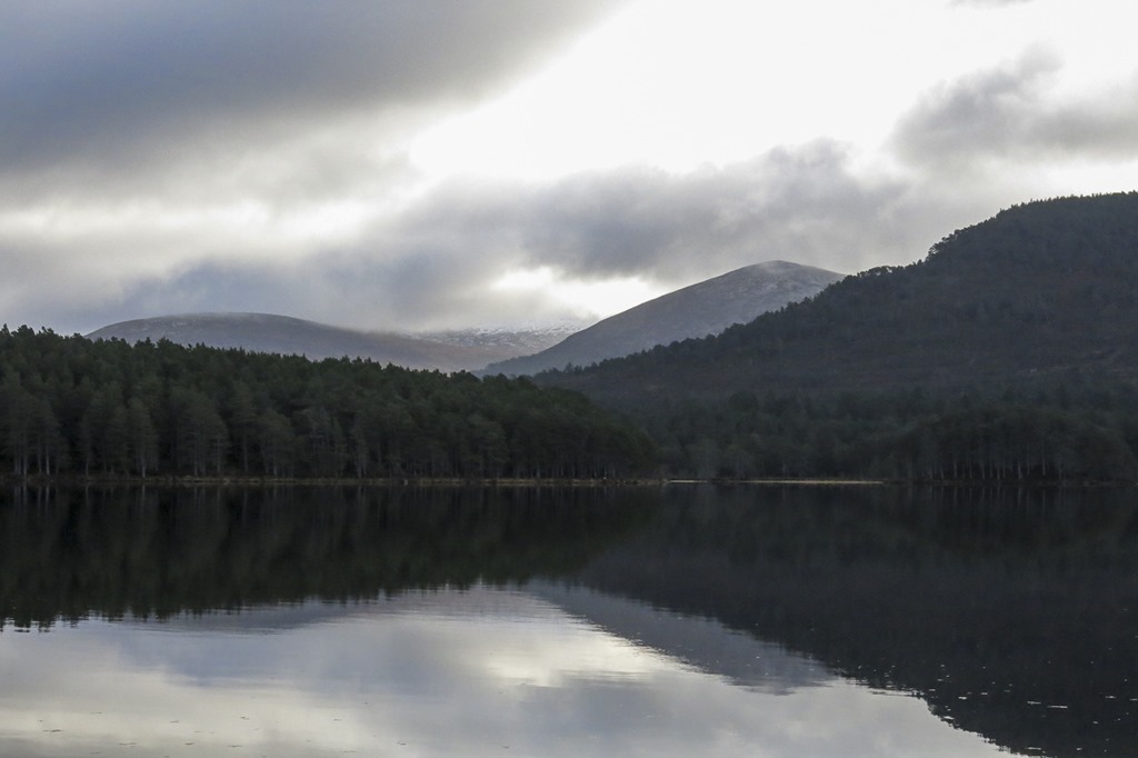
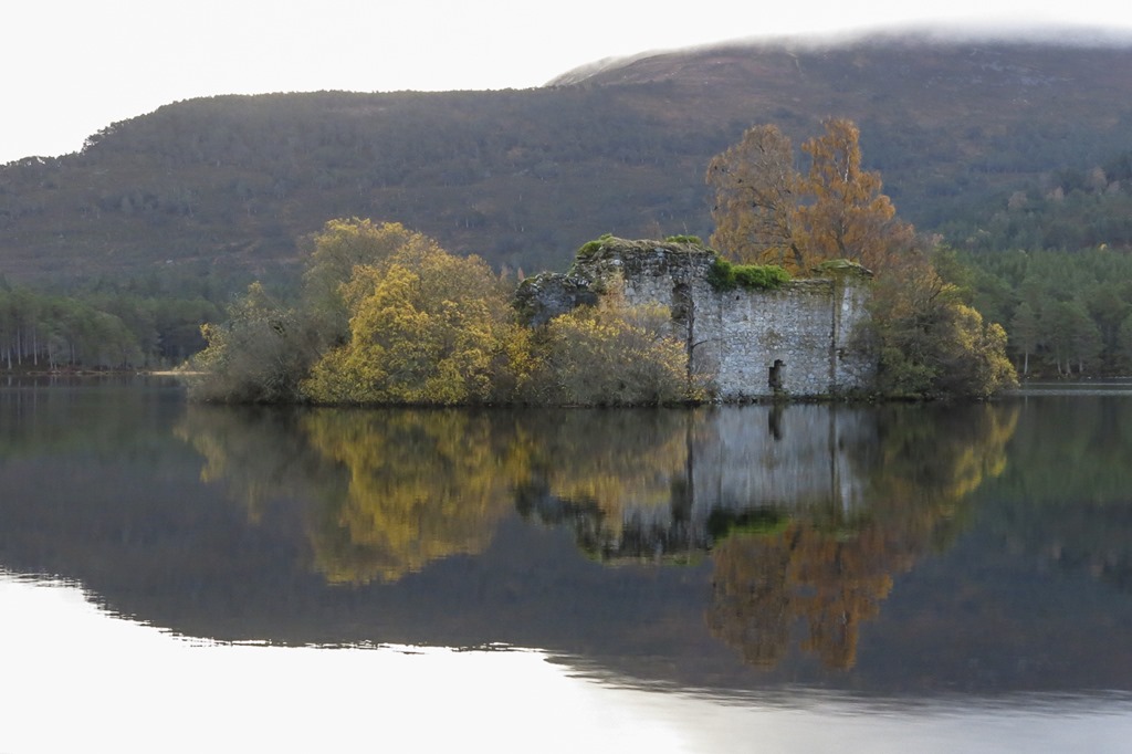
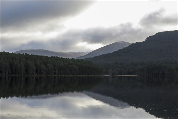 Loch an Eilein with Carn Eilrig behind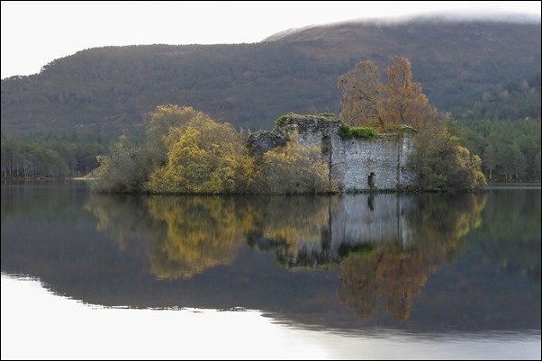
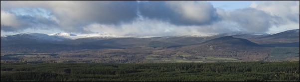 An Suidhie on the left and peeping up on on the left covered in snow is a top we can’t identify
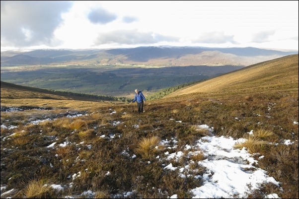 At the top of Allt Coire Follais on the last stretch
 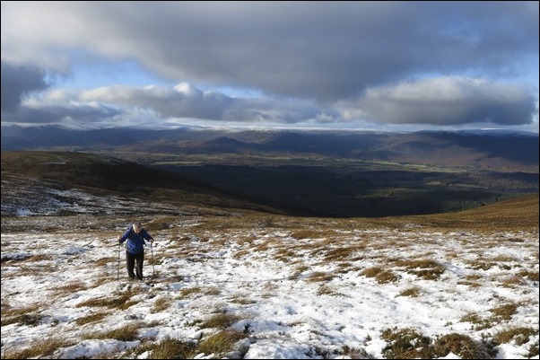 On the last stretch with An suidhie behind and the spurr of Creag Follais on the left.
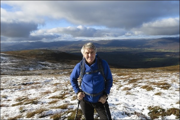 Creag Follais behind Rogers left shoulder.
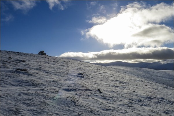 Argyll Stone
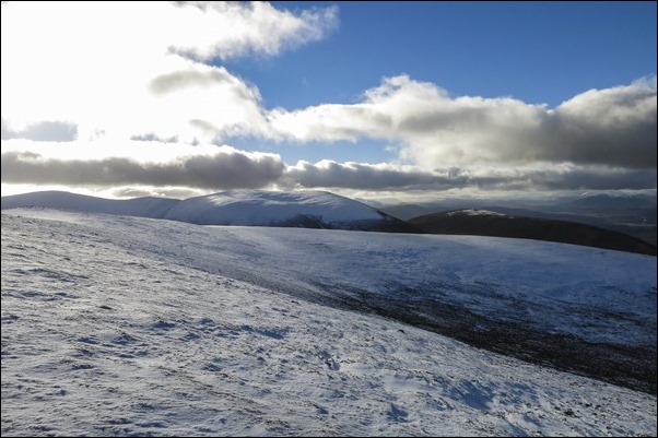 Right to left: Creag Mhigeachaidh 742m Geal-charn 920m and Meall Buidhe 976m
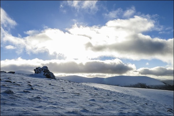 Argyll Stone with Geal-charn 920m and Meall Buidhe 976m behind
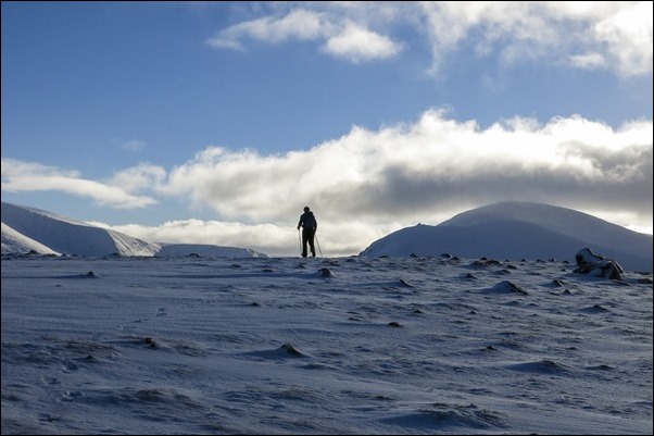 Roger approaching the edge. Sgoran Dubh Mor 1111m Sgor Gaoith 1118m on the left
 Carn na Criche 1265m and Braeriach 1296m on the left and Sgor Gaoith 1118m on the right
 Loch Insh behind the Argyll Stone
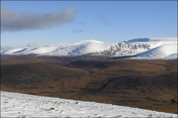 looking across Gleann Einich to Braeriach
 Sgoran Dubh Mor 1111m Sgor Gaoith 1118m you can just see Loch Einich and Am Bodach
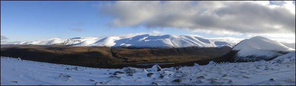 Looking across Gleann Einich to Braeriach and the Northern Coiries and Cairngorm
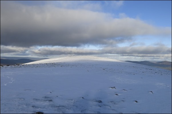 looking towards the summit of Creag Dhuhb 848m
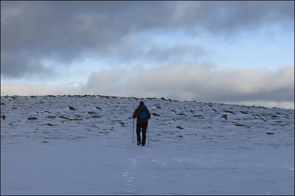 walking towards Creag Dhubh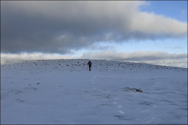
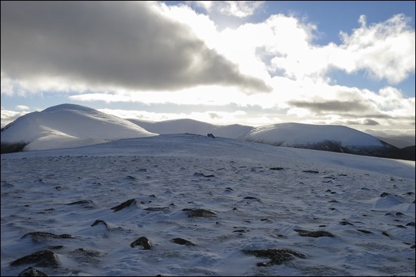 Looking back towards the Argyll stone and Sgor Gaoith 1118m and Geal-charn 920m from Creag Dhubh
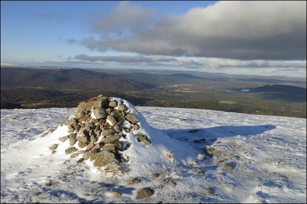 Creag Dhubh summit cairn. craigellachie on the right and loch Pityoulish and Creag Phitiulais on the right
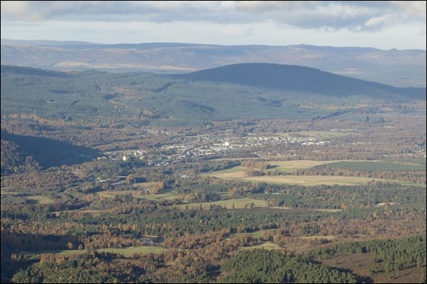 Aviemore and Carn Mor behind
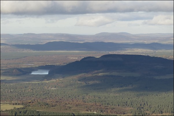 loch Pityoulish and Creag Phitiulais on the right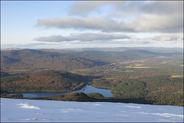
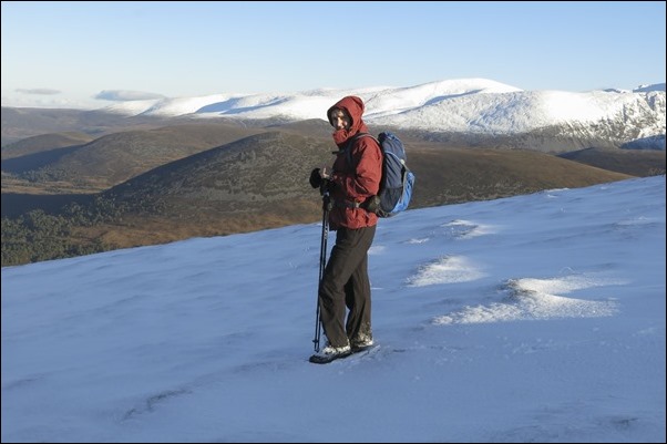
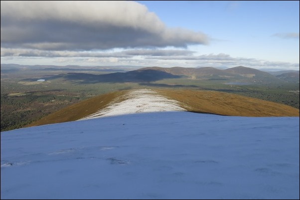 Looking down the ridge with Meal a Bhuachaille et all behind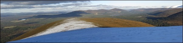
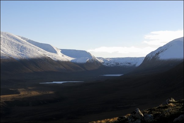 Looking down Gleann Einich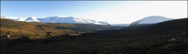
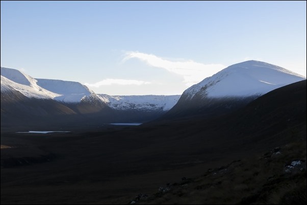 Looking down Gleann Einich
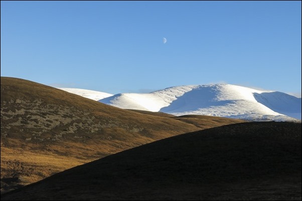 Braeriach and Crea Eilrig on the left.
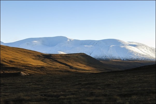 Braerich and it’s corries
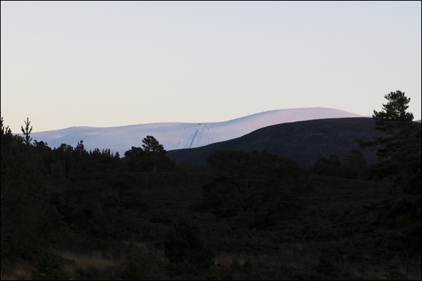 The top of the funicular and Cairngorm
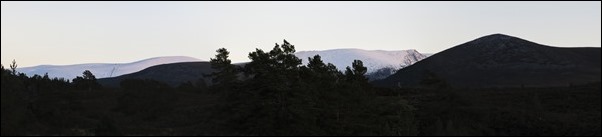 The top of the funicular and Cairngorm and Lurchers Crag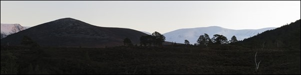
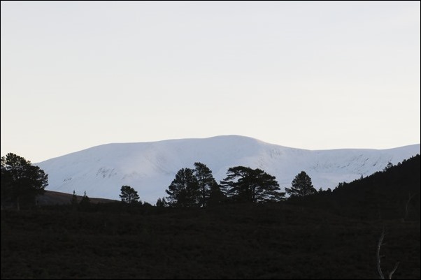 Braeriach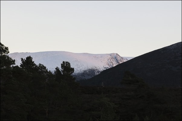
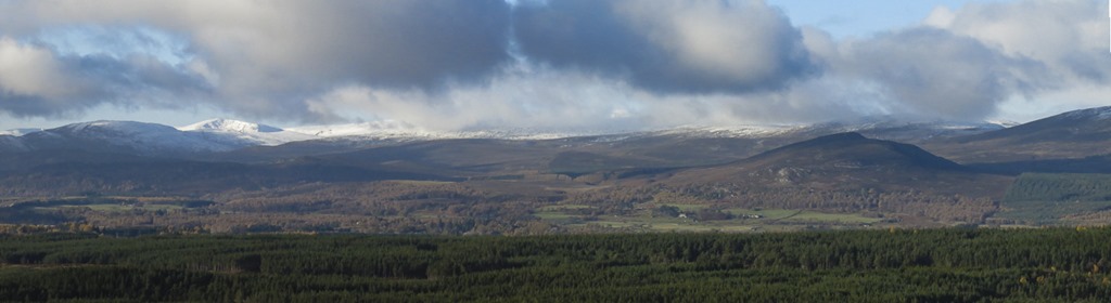
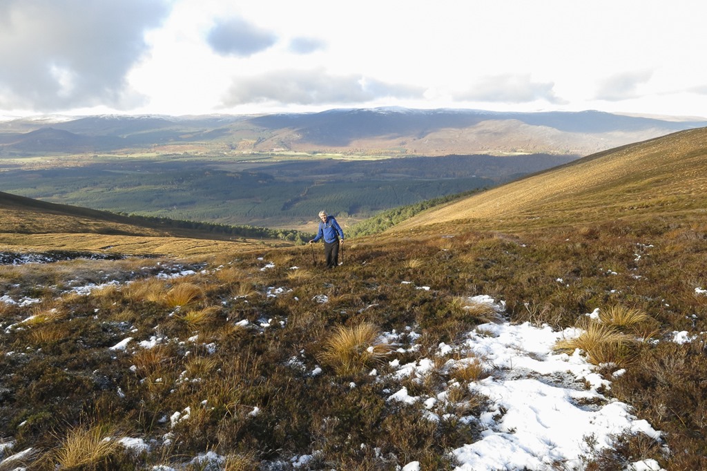
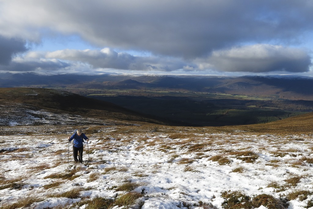
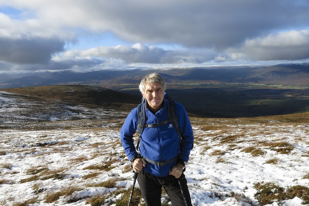
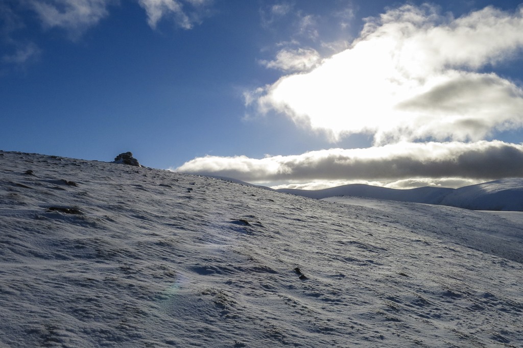
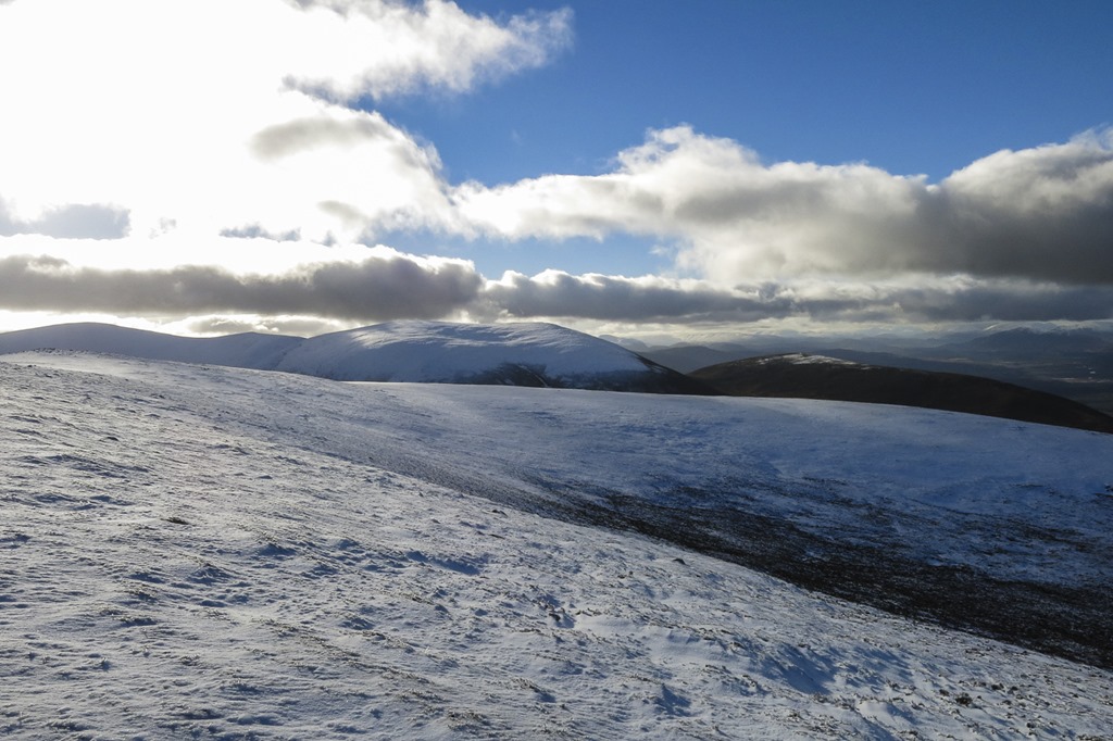
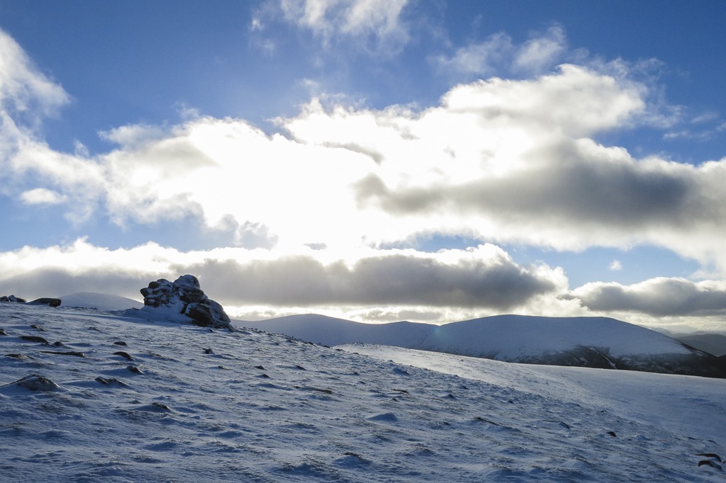
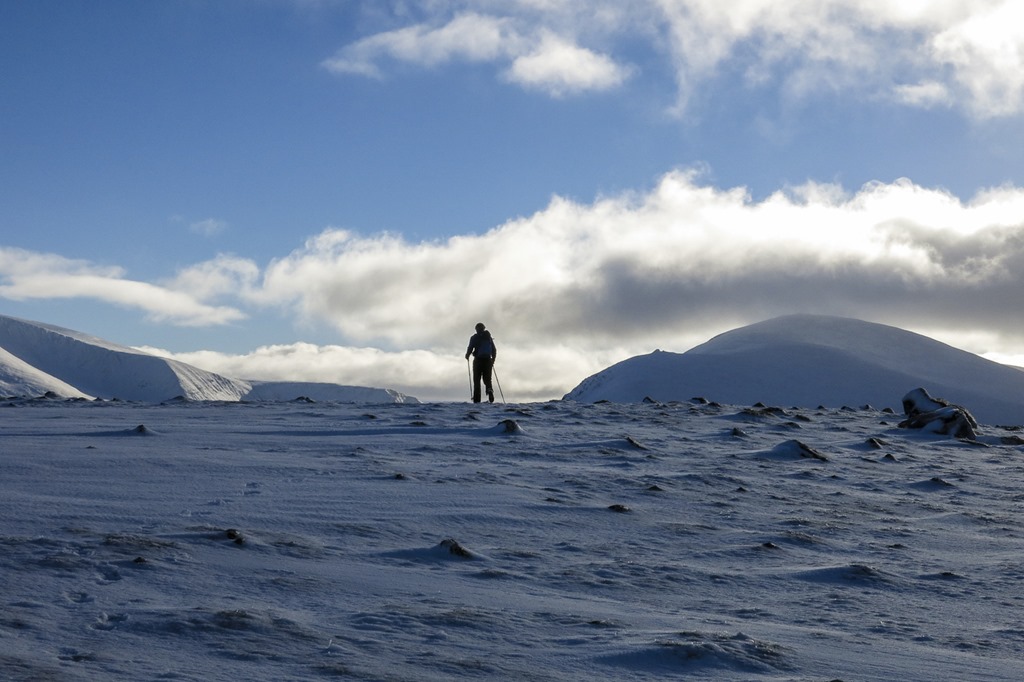
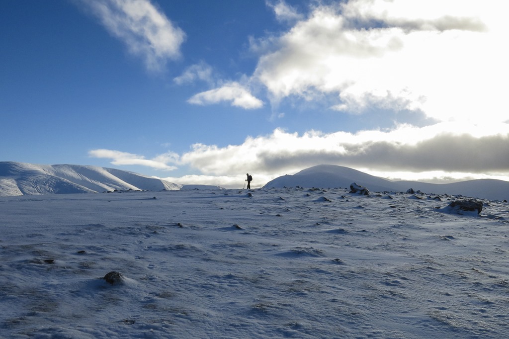
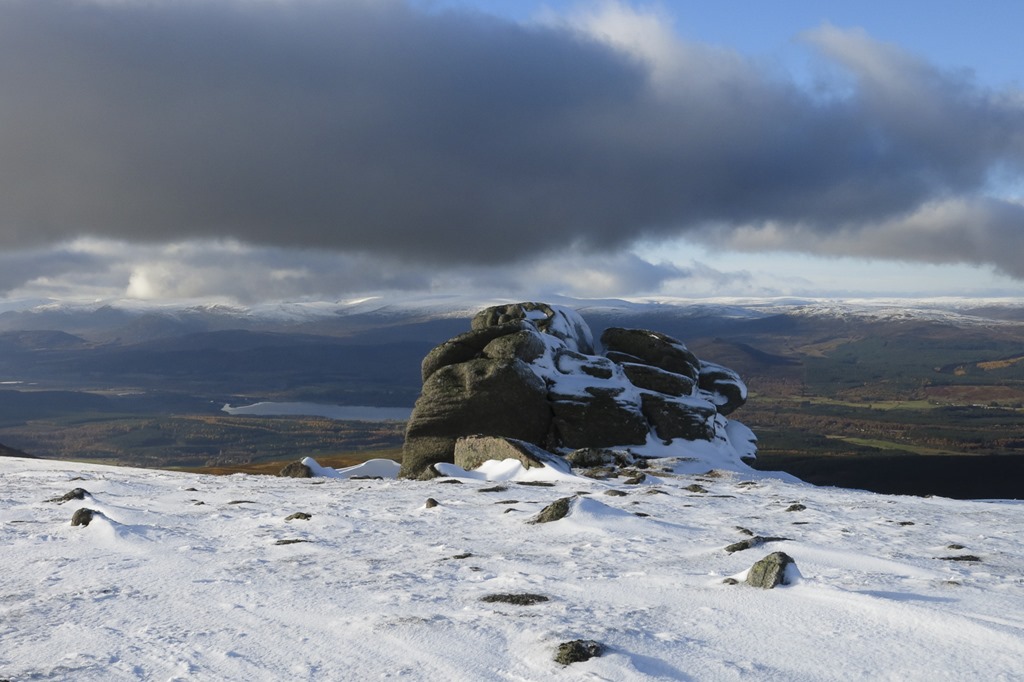
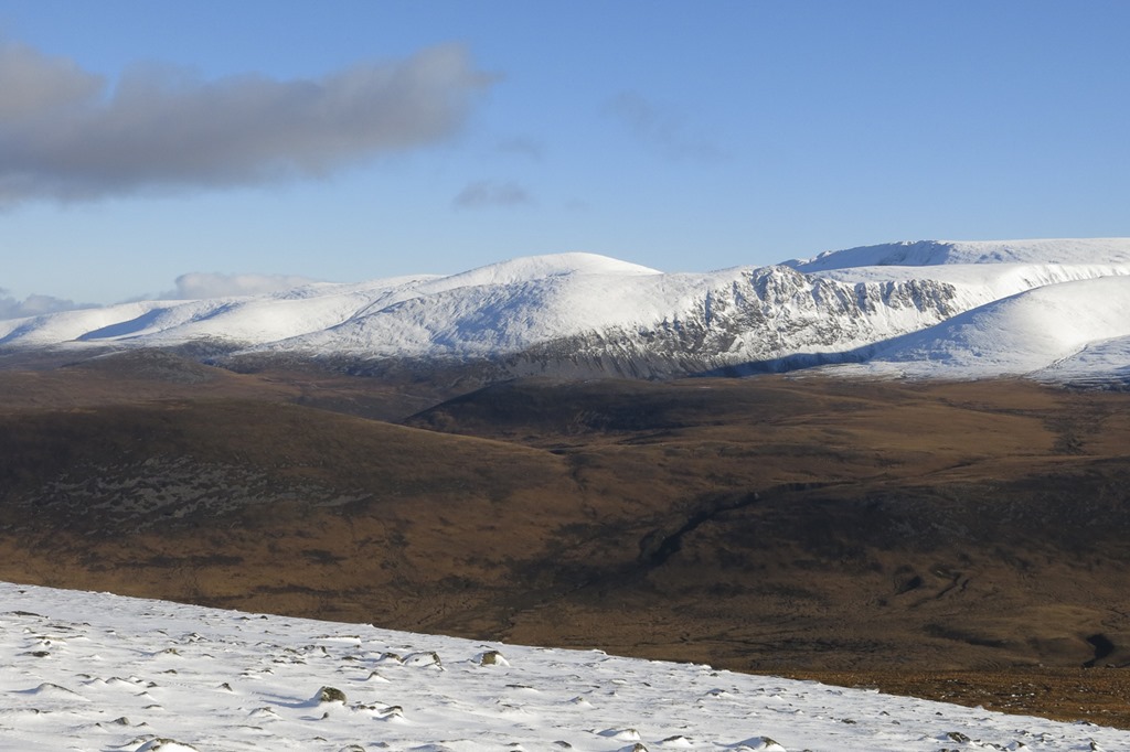
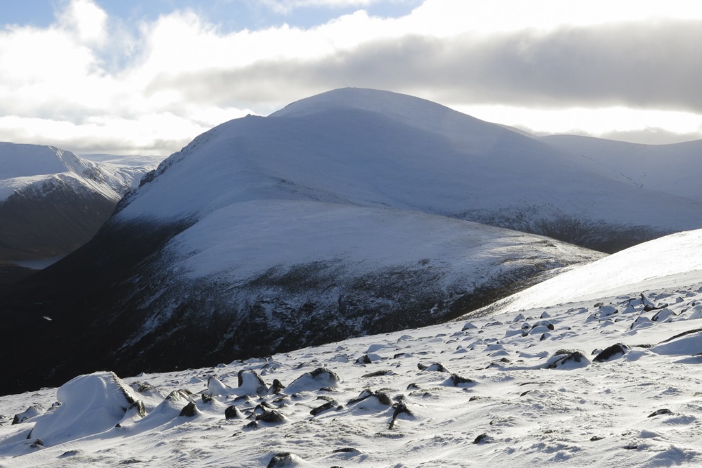
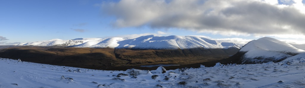
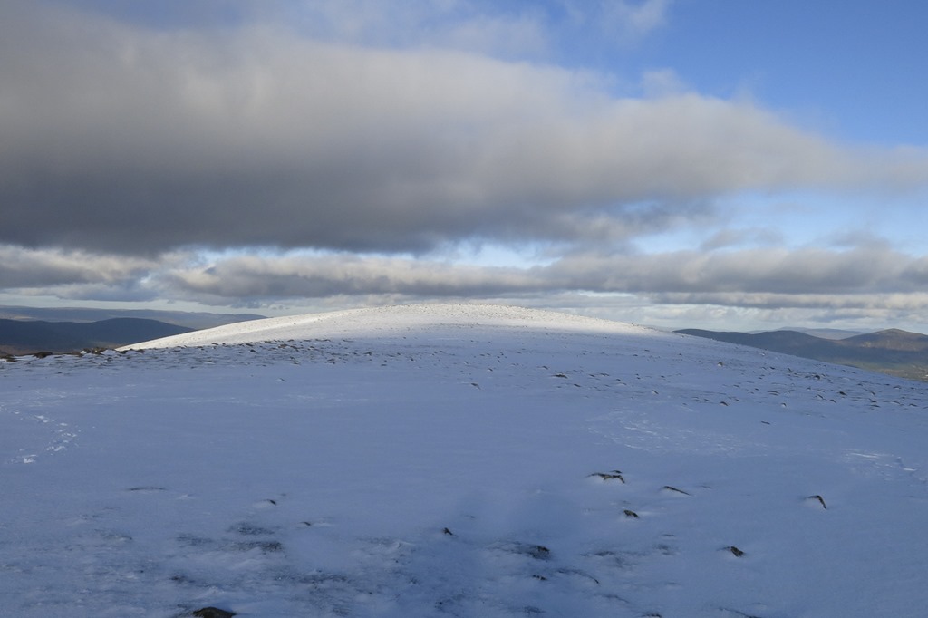
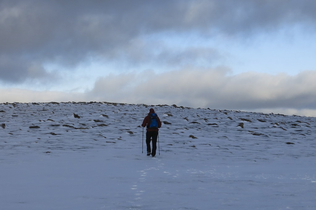
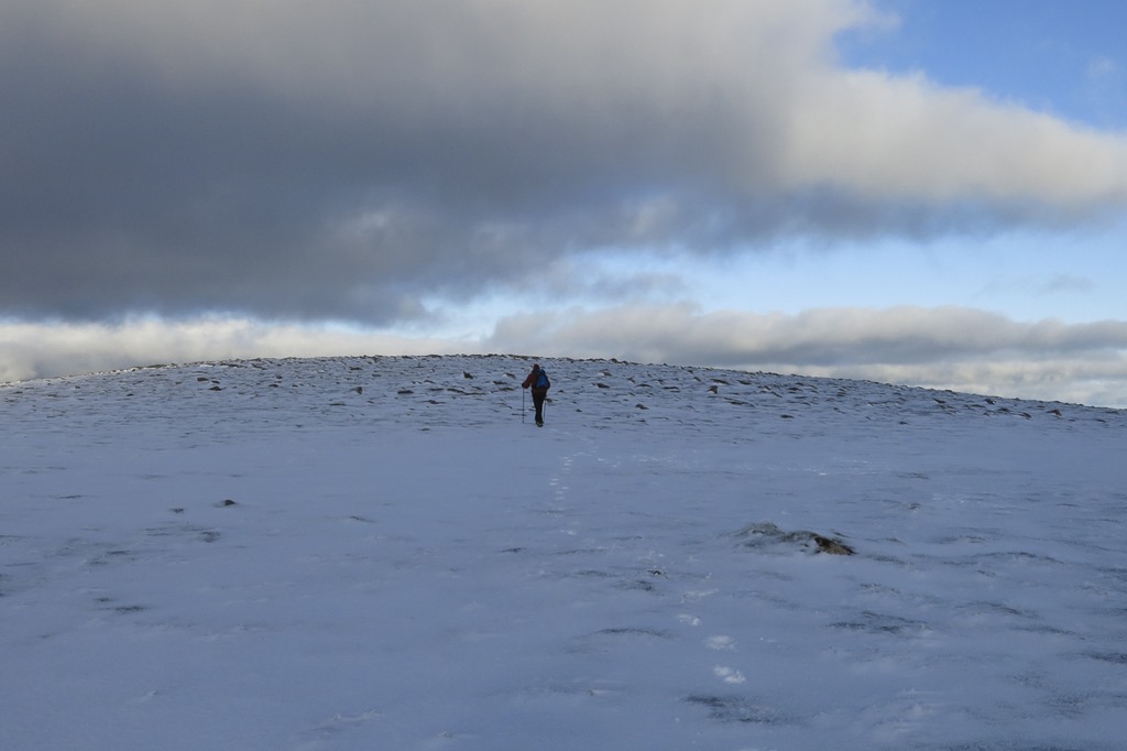
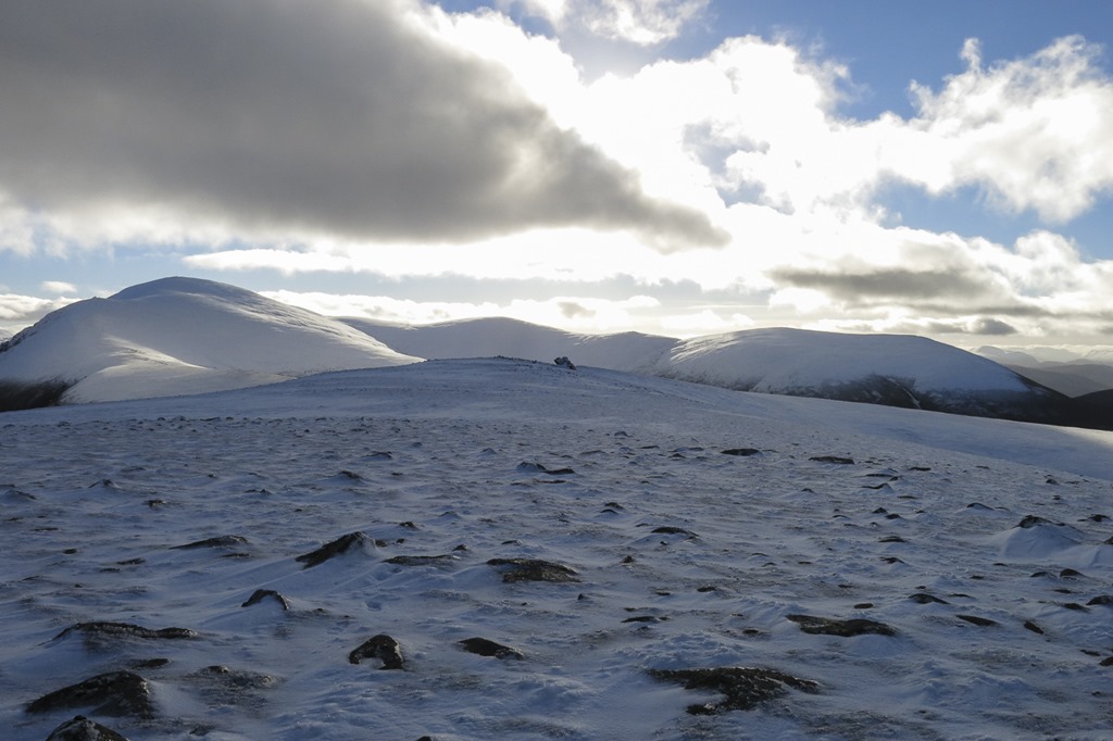
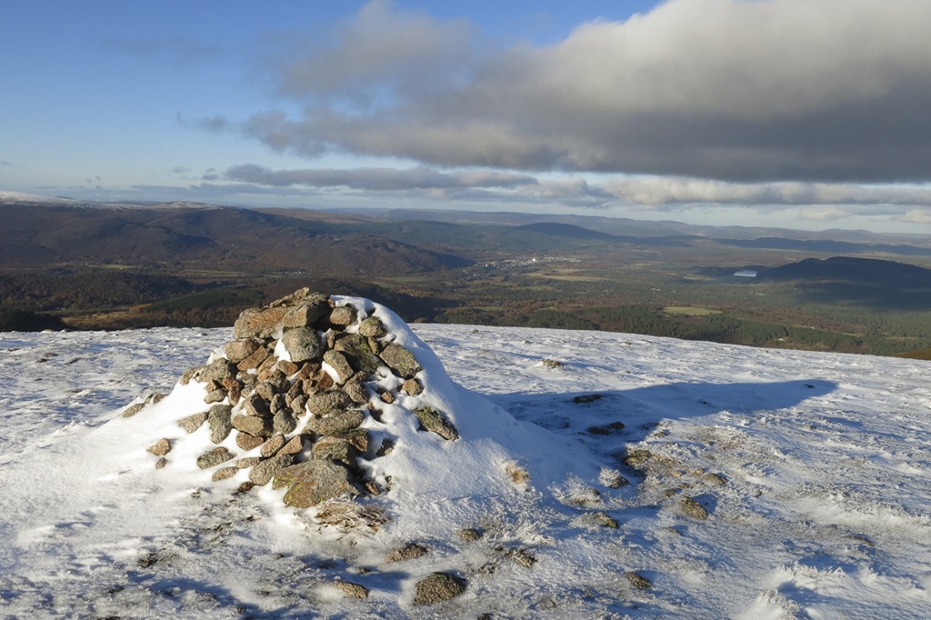
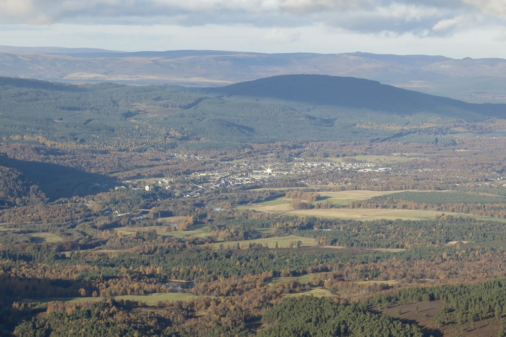
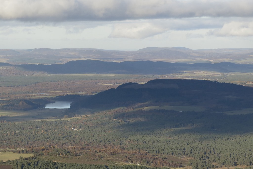
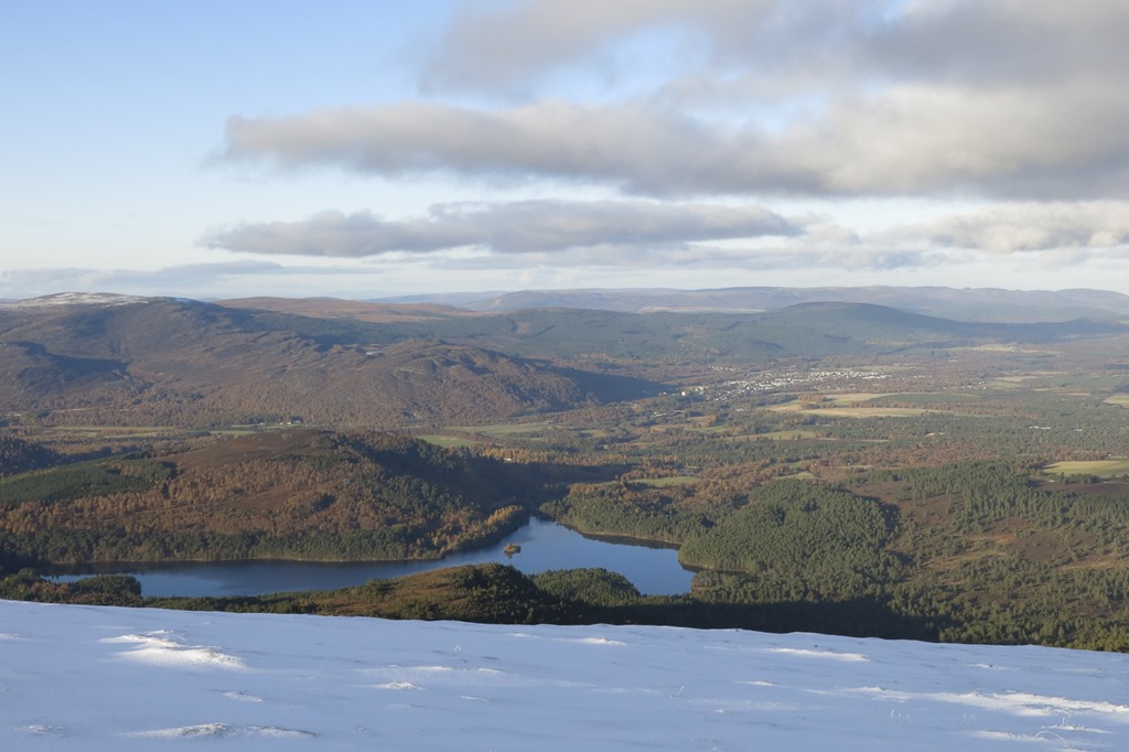
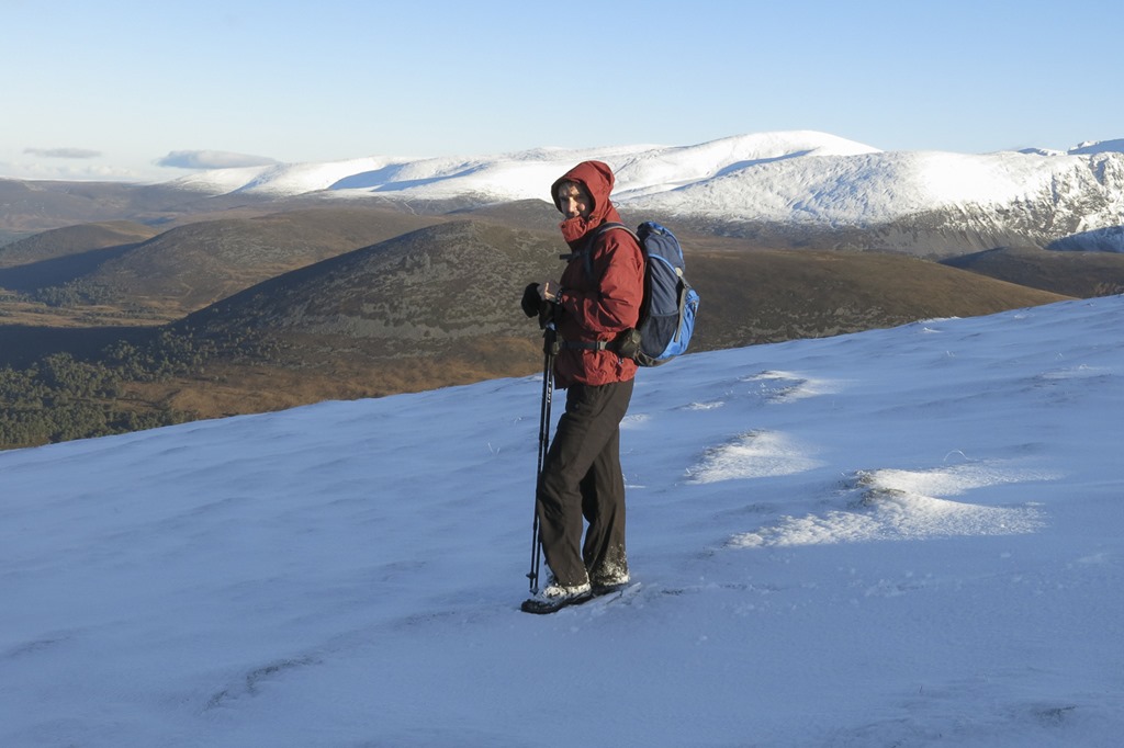
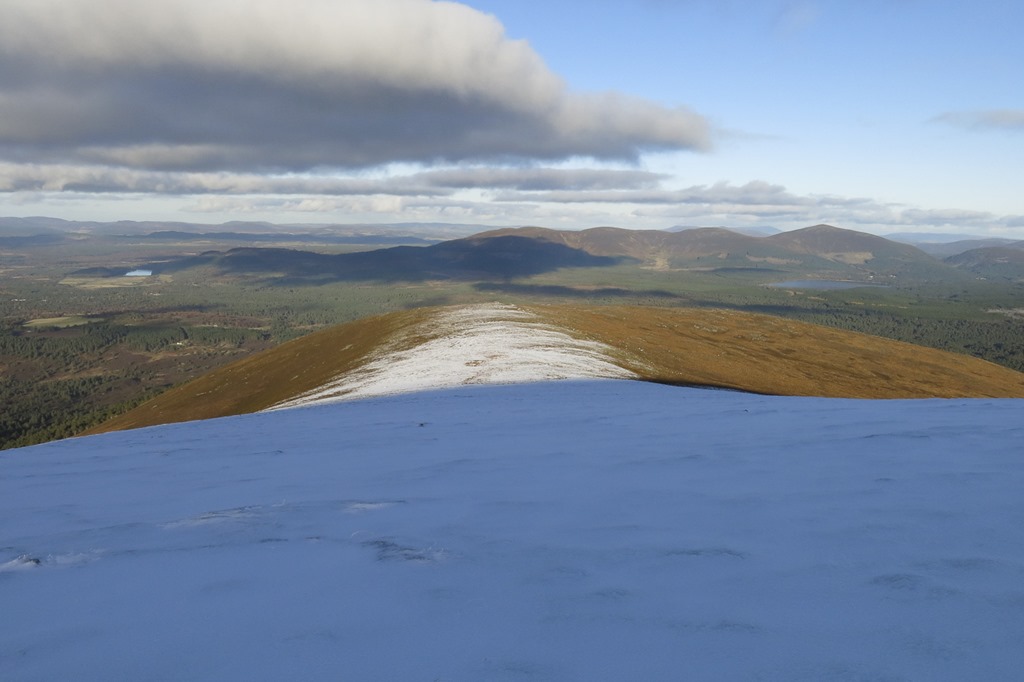
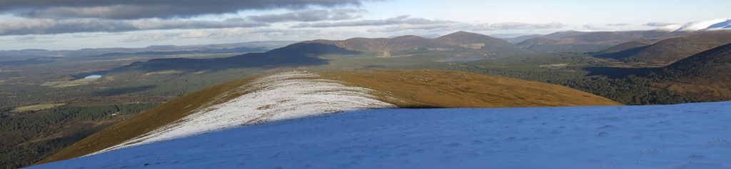
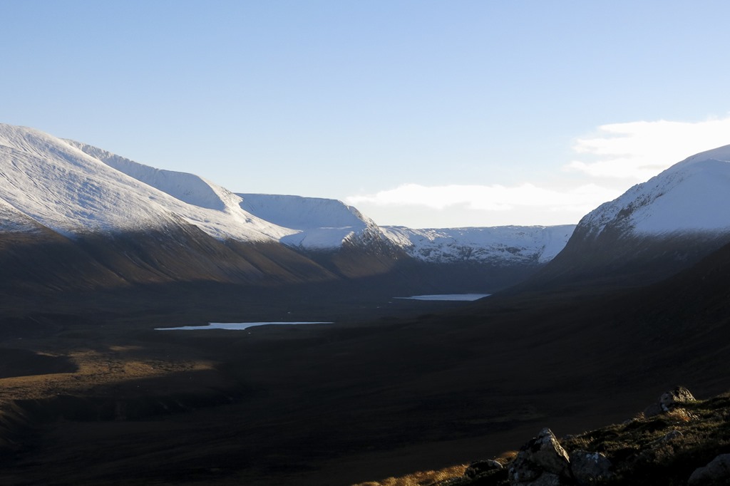
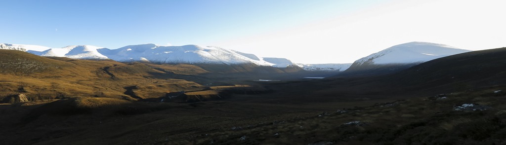
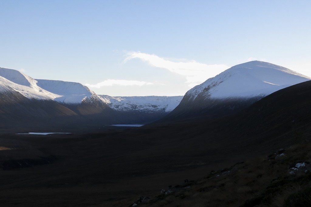
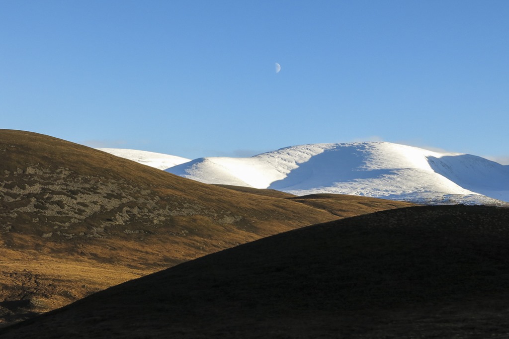
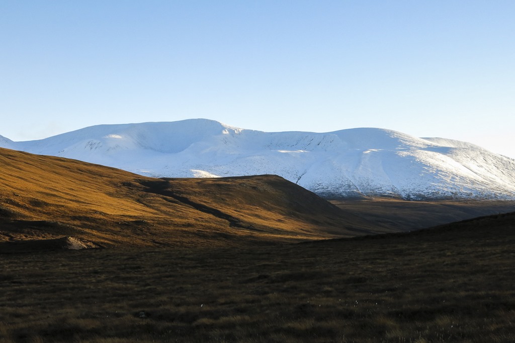
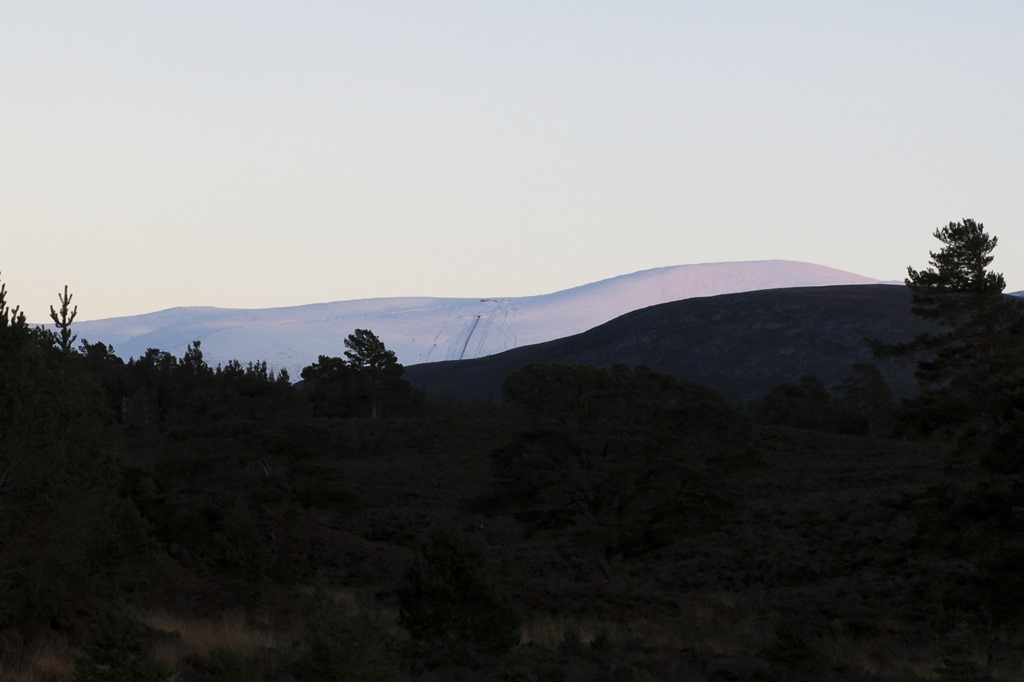
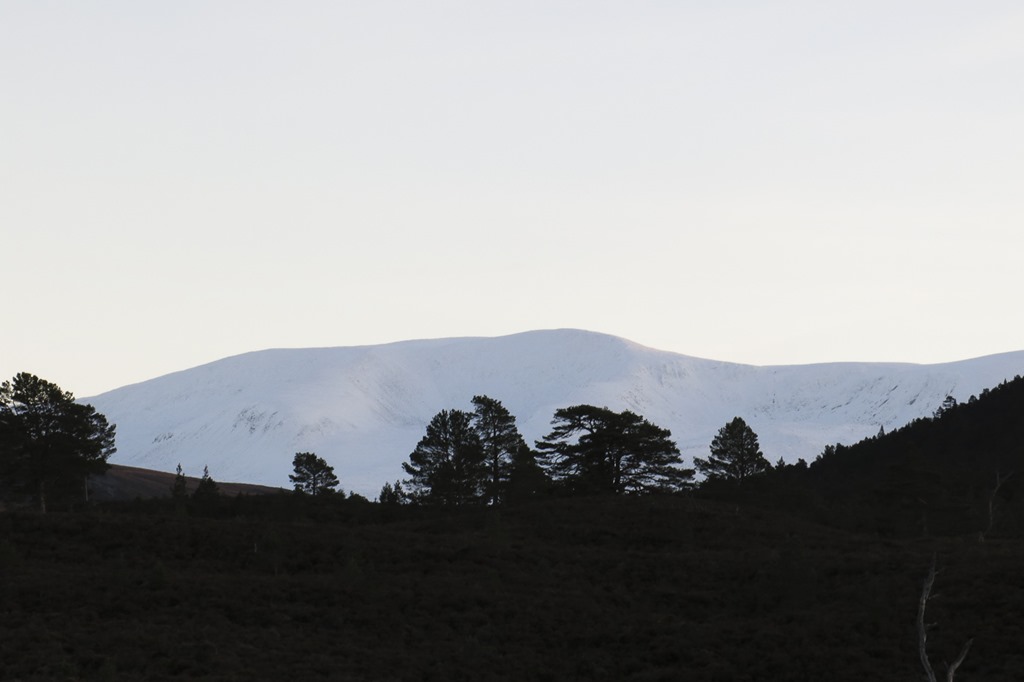
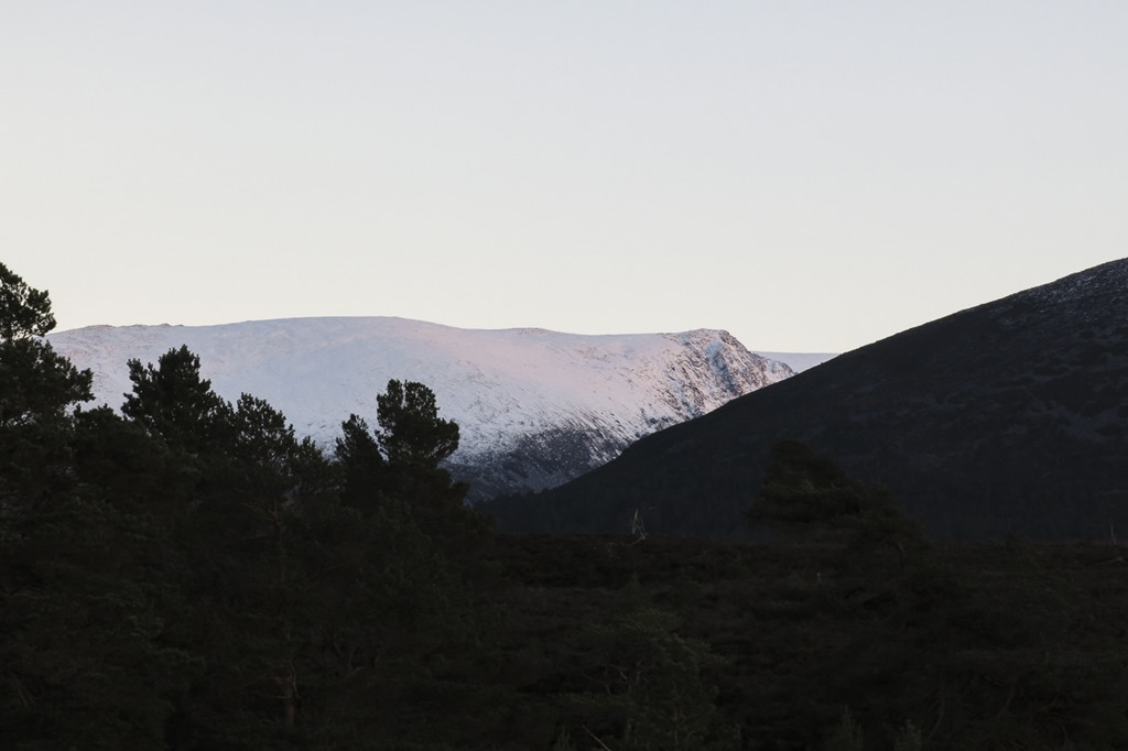
Lurchers Crag
Lurcher’s Crag and the Gap
Creag an Leth-Choin 1053m
There was a lot more snow on the top than we thought there would be very softand up above our knees. I had never walked through the Chalamain gap before it was smaller and narrower than i expected but also more rocky. We walked over Creag an Leth-choin (Lurcher’s Crag) and down Miadan Creag an Leith-choin to the ski centre and then down the path to the sugar bowl car park. we have thought about cycling down there but never had and noticed that the forestry have put sign saying no cycling.
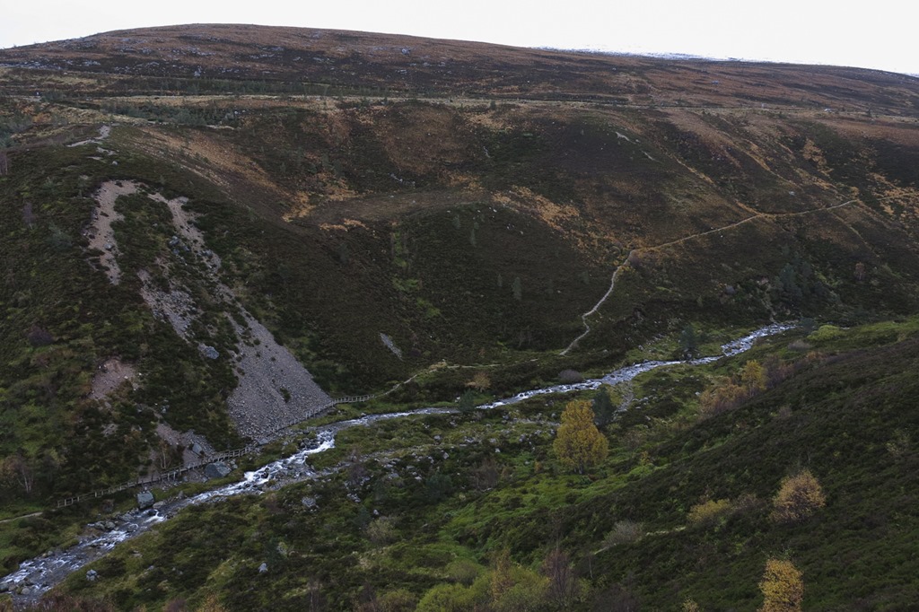 The path back to the sugar bowl you can see the board walk
 The track up to the ski centre
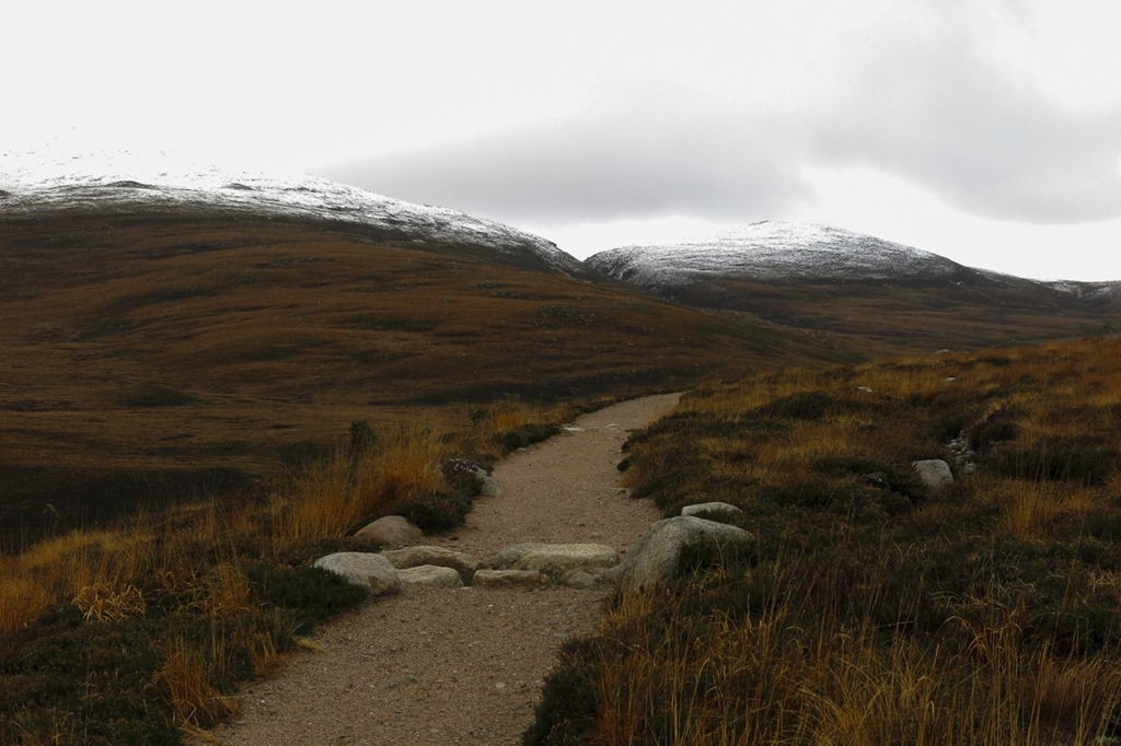 The Chalamain Gap and Creag a Chalamain 787m on the right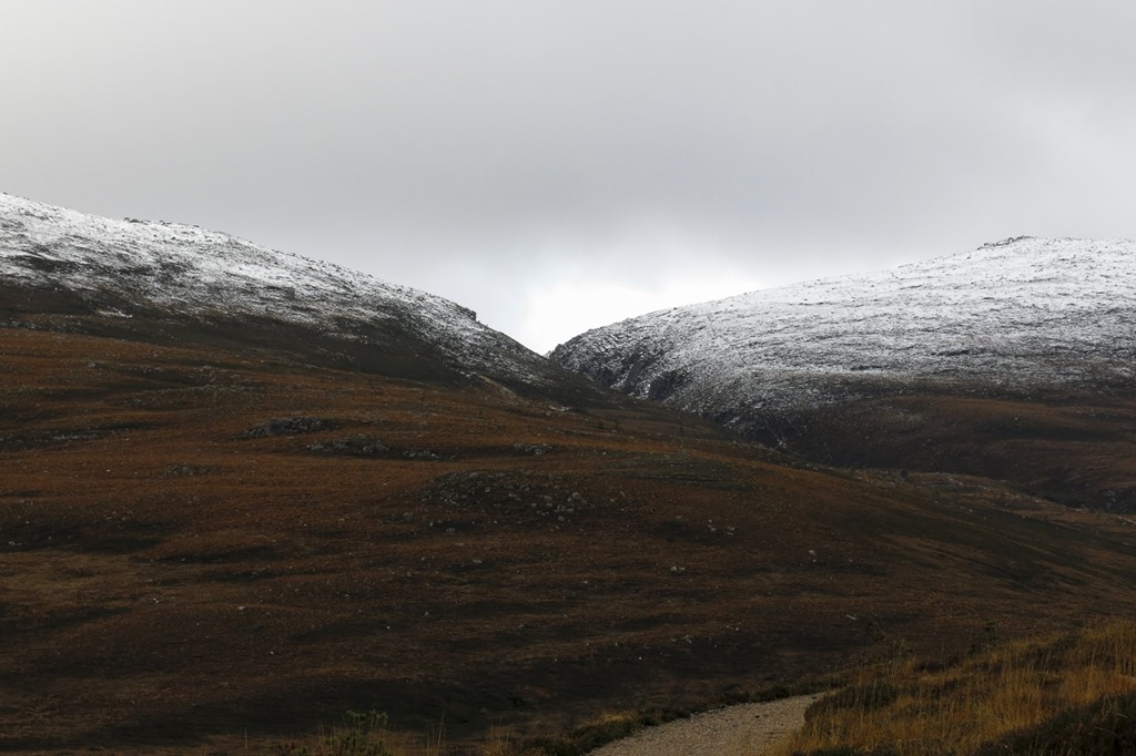
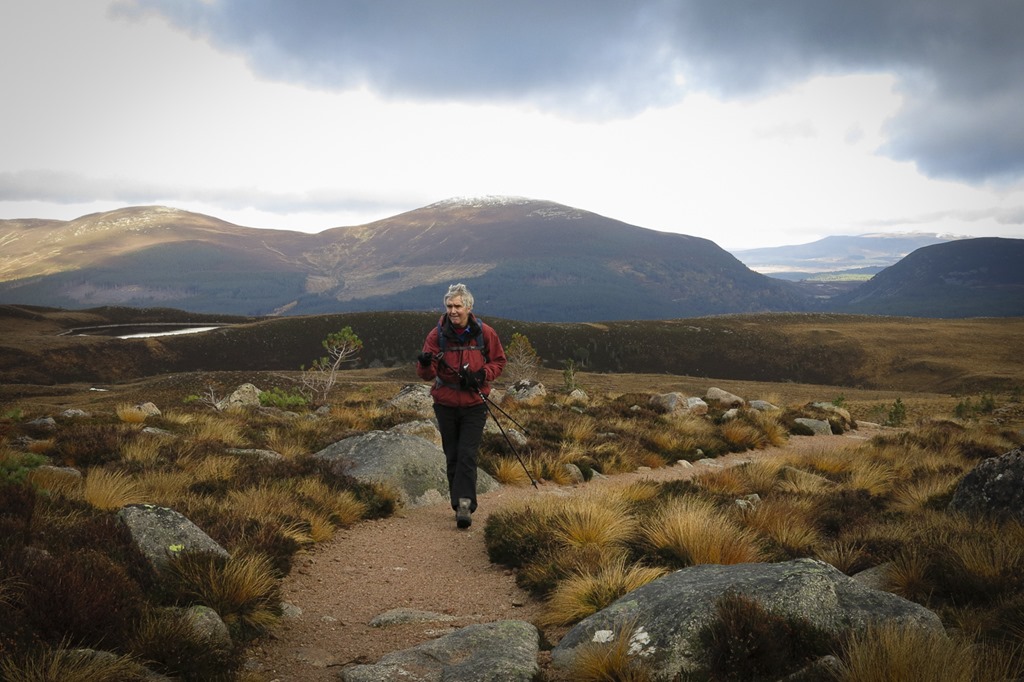 Meall a Bhuachaille and Creag nan Gall 622m on the right
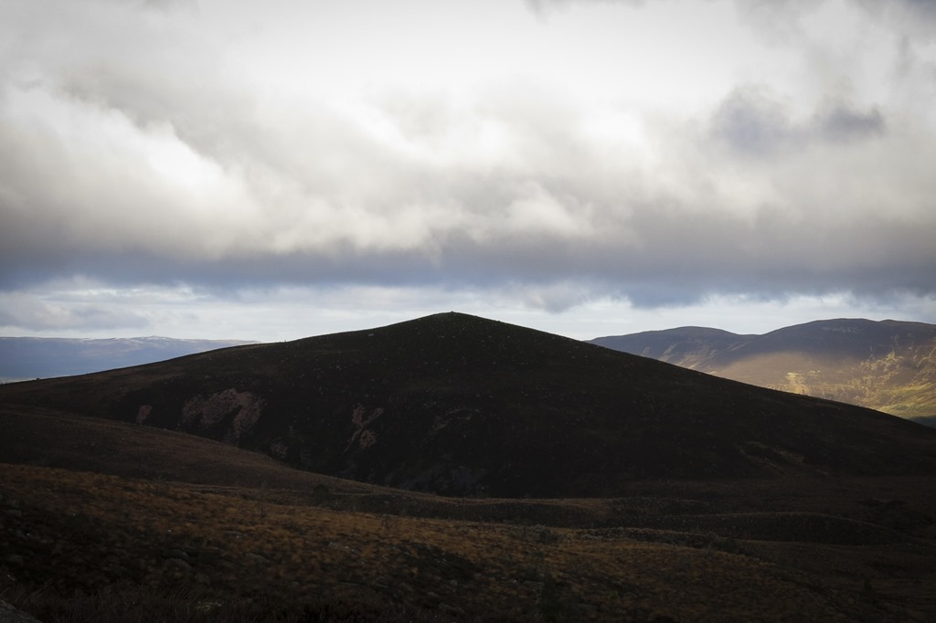 Airgiod Meall 644m
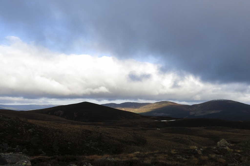 Airgiod Meall with Lochan Dubh a Chadha just seen glistening
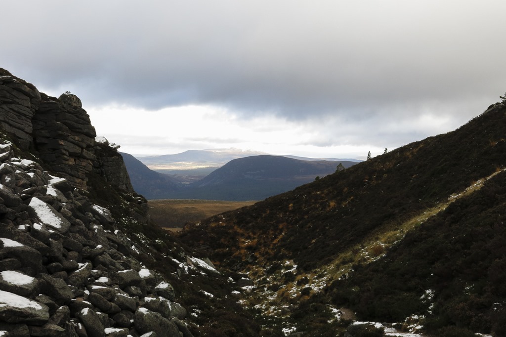 Looking down the Chalamian Gap to the pass of Ryvoan. with Creag nan Gall in the middle and the Hills of Cromdale in the distance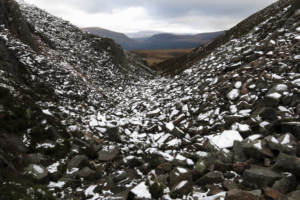
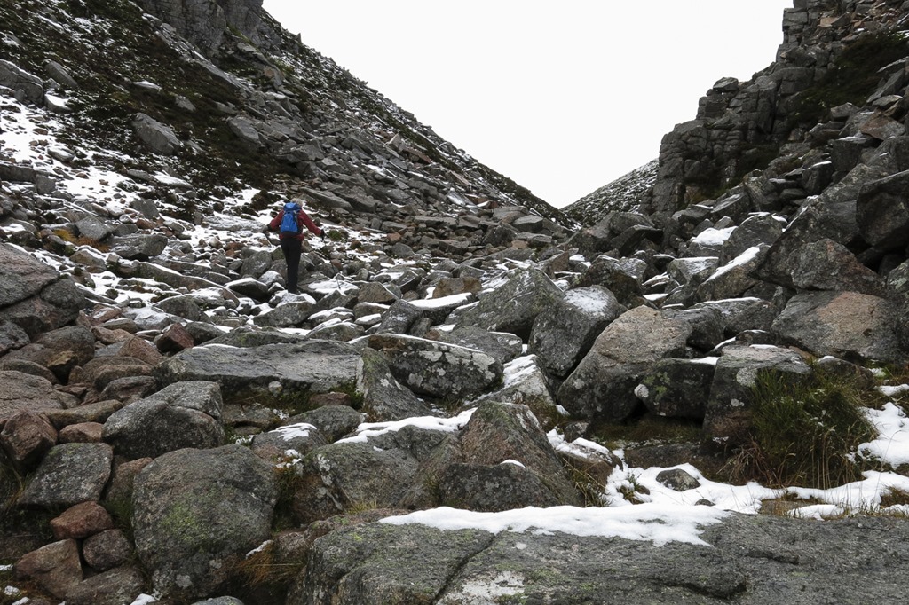

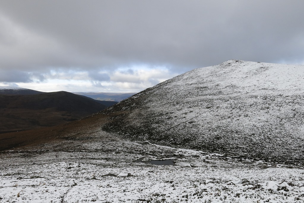 Creag a’ Chalamain
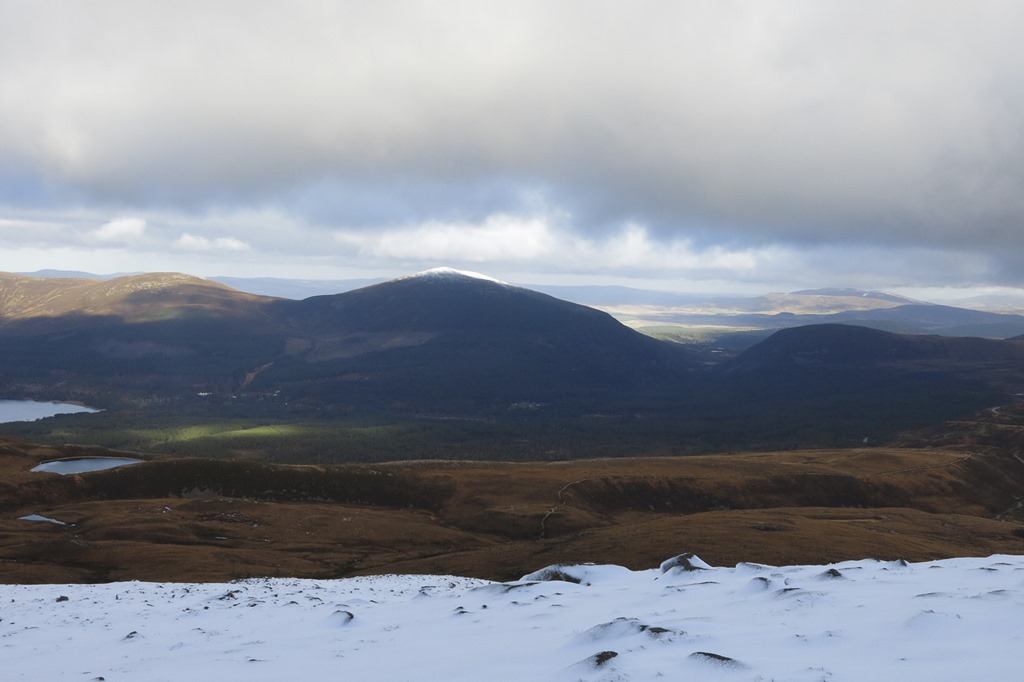 Meall a Bhuachaille
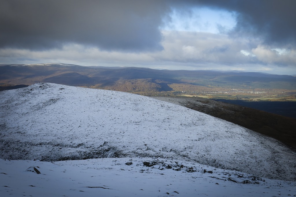 Creag a’ Chalamain and Aviemore and Craigellachie behind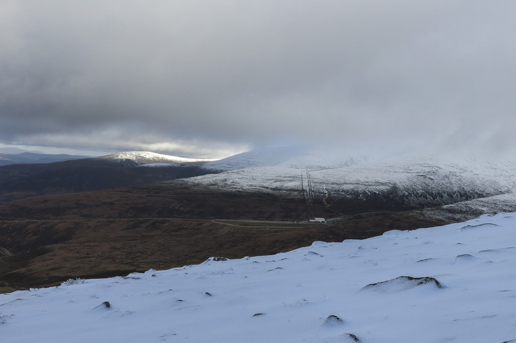

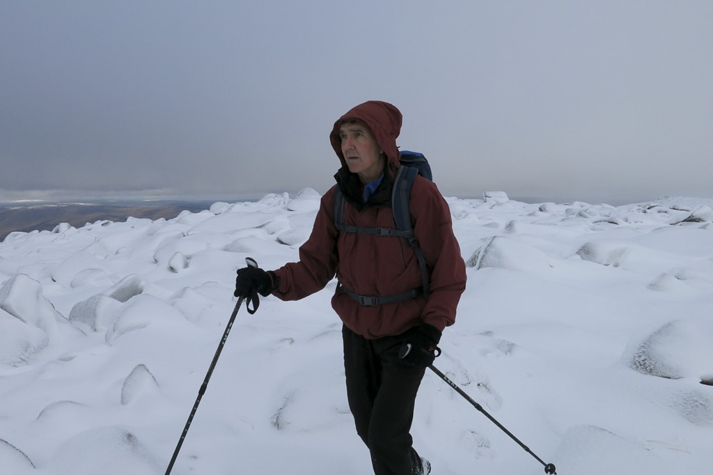
 Creag an Leth-choin/Lurcher’s Crag
 Looking down the Lairig Ghru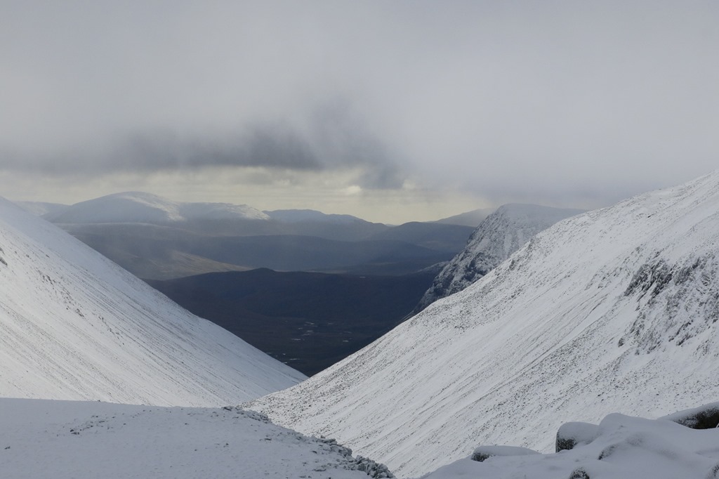
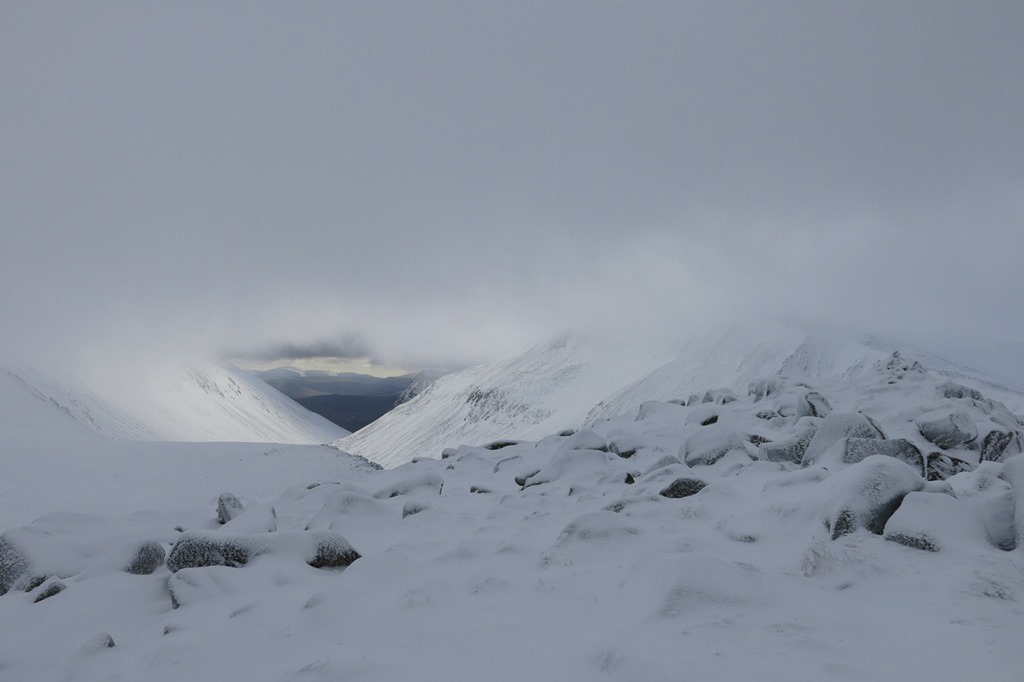
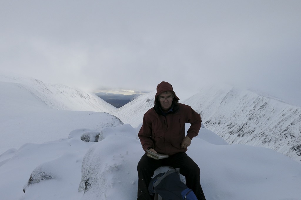
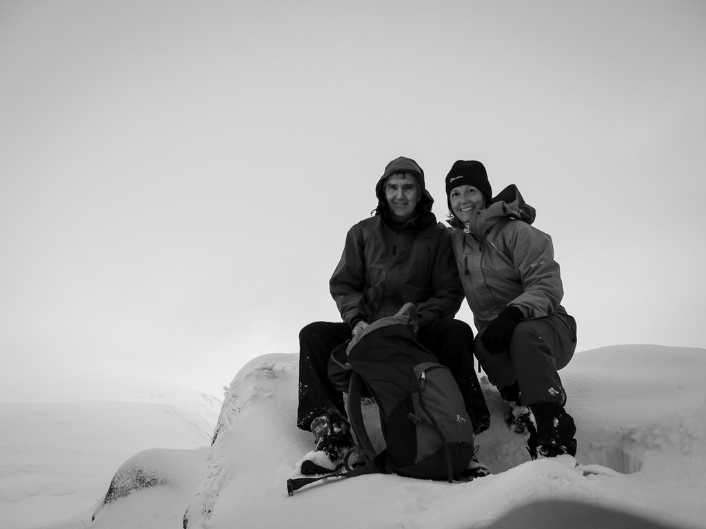
 The Summit of Lurcher’s Crag or Creag an Leth-choin
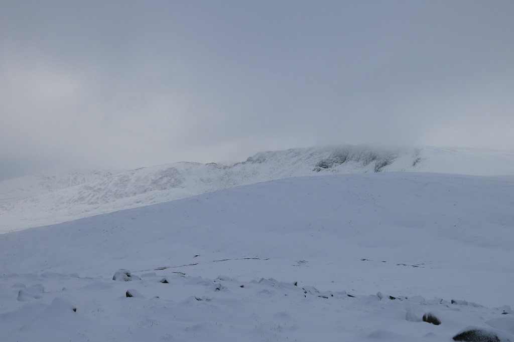 Looking to Fiacaill Coire an t- Sneachda and Carn Lochan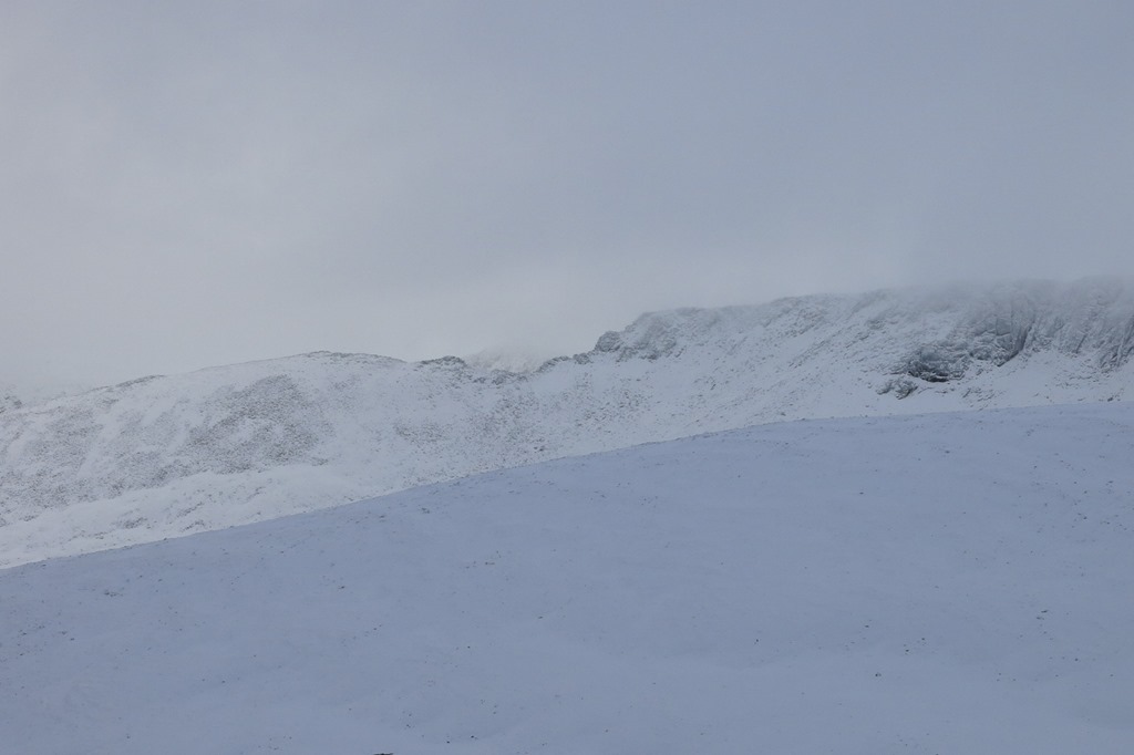
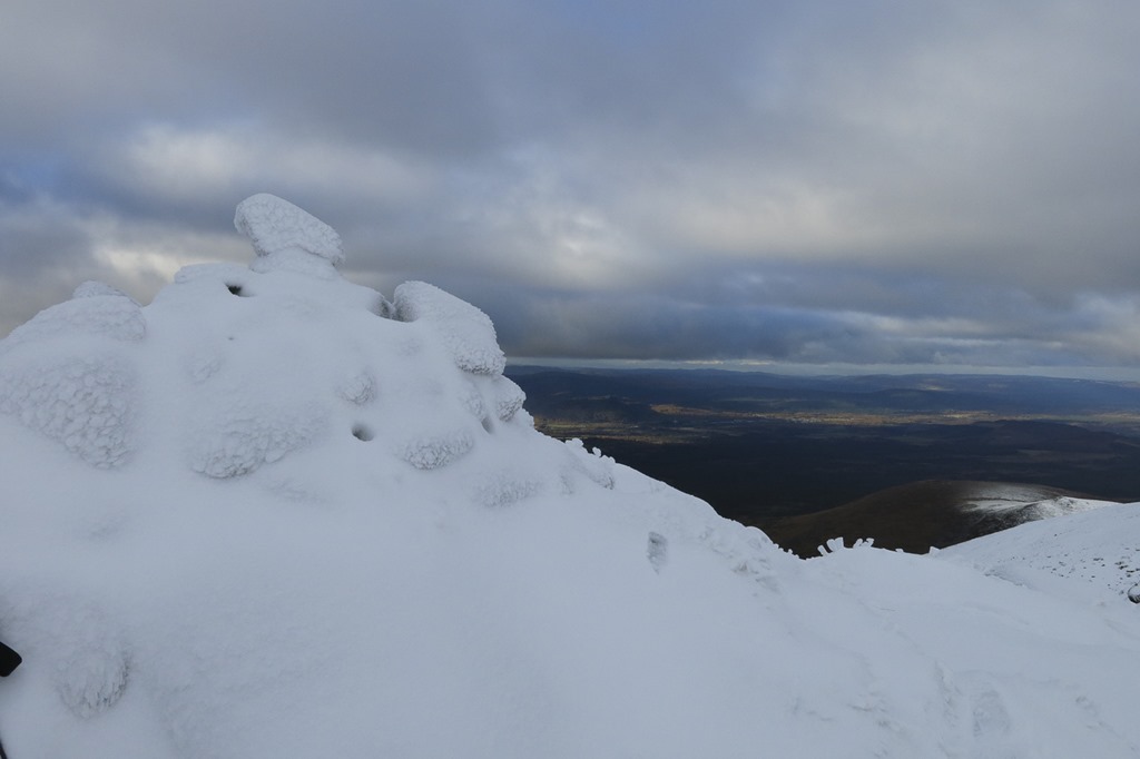
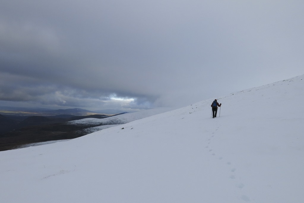
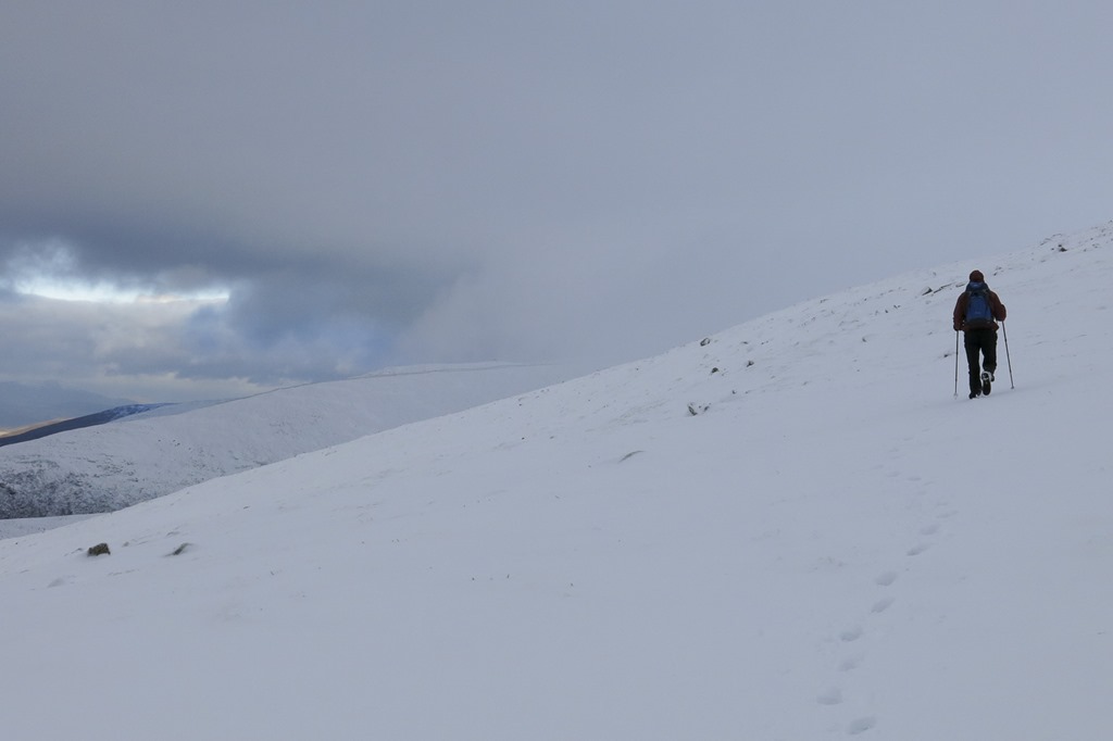 Walking back down to the ski centre down Miadan Creag an Leth – choin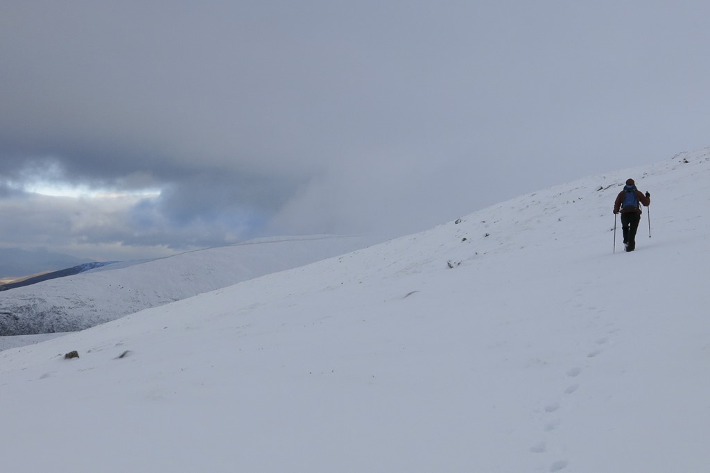
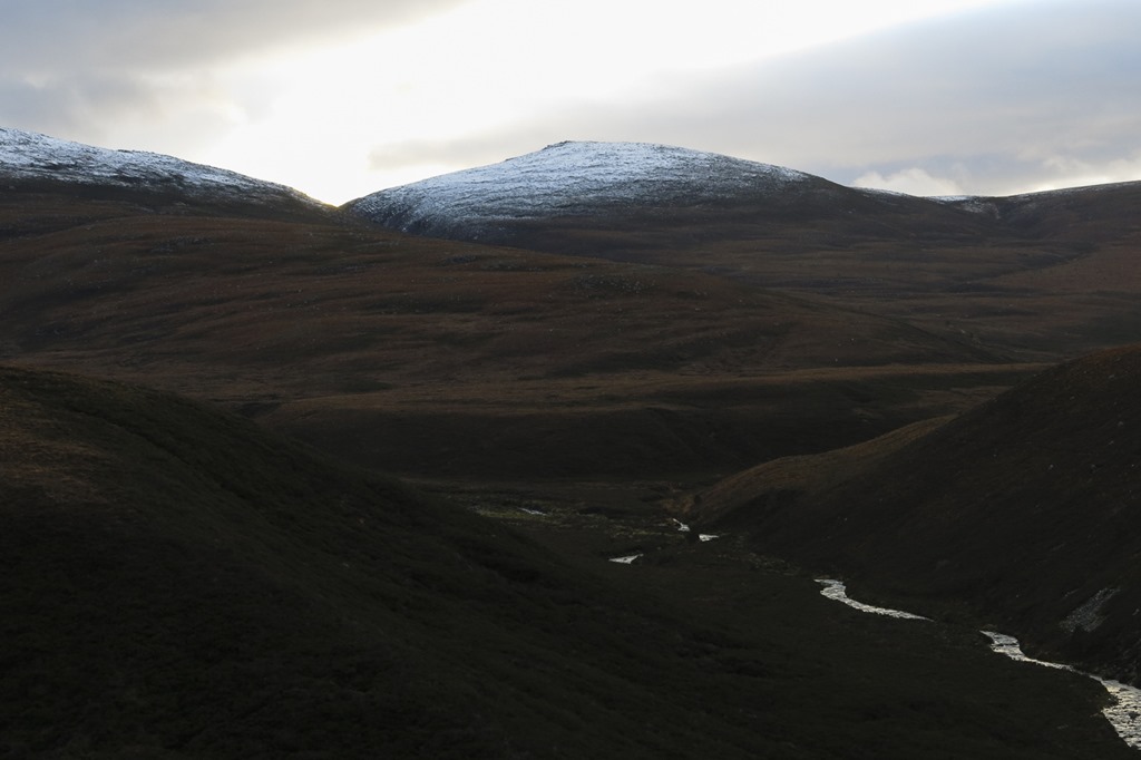
A Ride up Burnside
Distance: 23.1km Time: 2:03:36 Av Sp:11.2km/h Max Speed: 36.km/h
https://www.strava.com/activities/92969568
We took the low route through the forest to boat and back along the spey way. but before we started we had lunch at the mountain cafe.
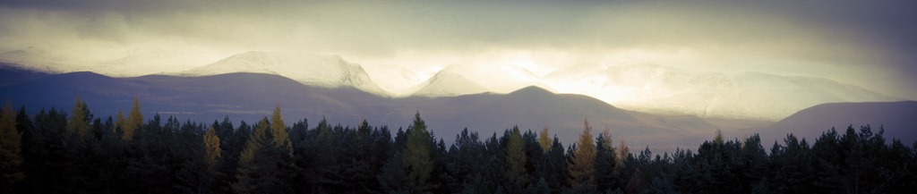
Some of the tracks were good and some were less good…..
An Suidhe 541m
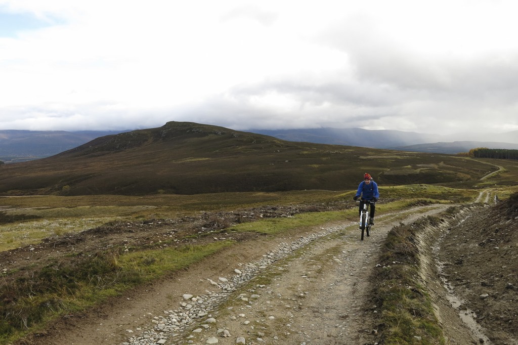
As the bikes were still in the van we decided we would drive out a little way towards Kincraig before setting off on our bikes. We got a little delayed by cake and coffee at the potting shed! But then parked at the lay-by next to the church and set off over the A9 and up into the hills past a sheep dog farm and up on some lovely tracks.. We left the bikes by a gate and set off on foot up to An Suidhe. From the top there was a great view of Loch Insh, the hills above Kingussie, and looking back towards Aviemore. We returned to the bikes and continued up the track towards the horizon but after a while we retraced our track back to another track that went through the woods. Then things became very interesting as the track became a little indistinct! There are lots of interesting bike and walk tops to visit up this way.
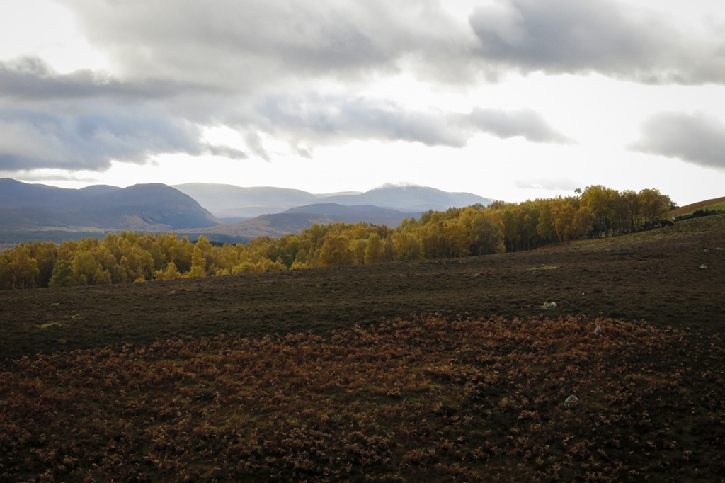
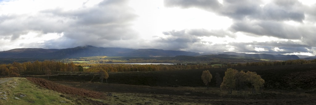 loch Insh and the Feshie Hills behind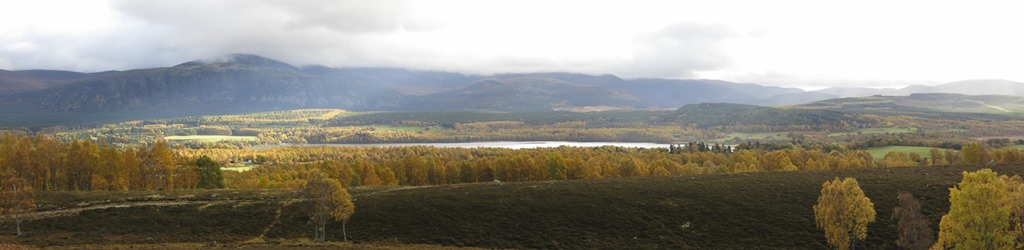
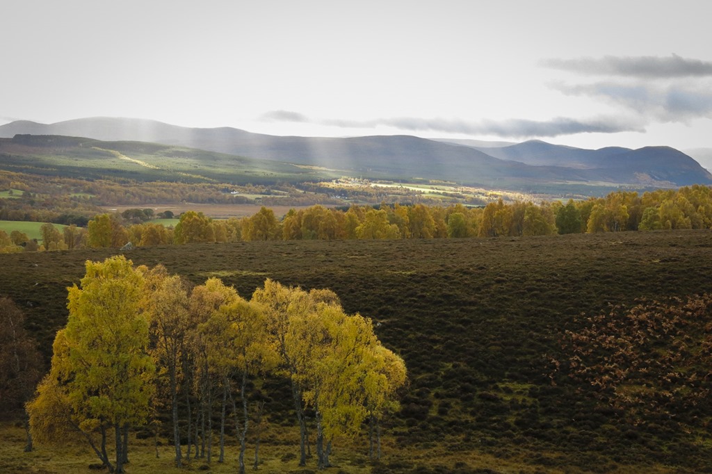
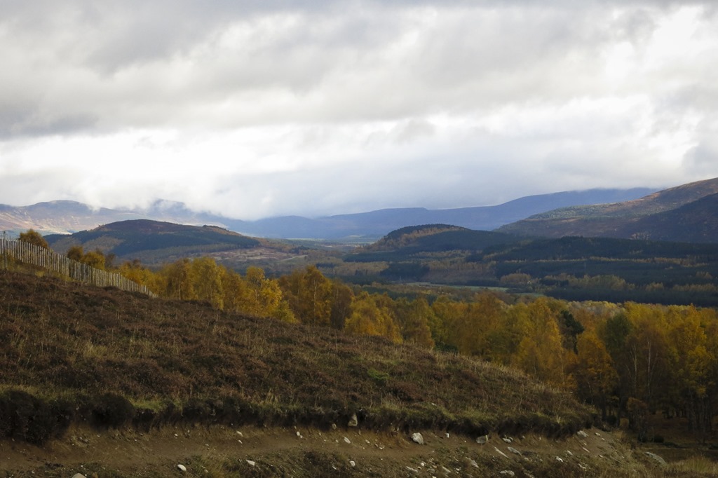 Ord Ban on the left and Kennapole Hill on the right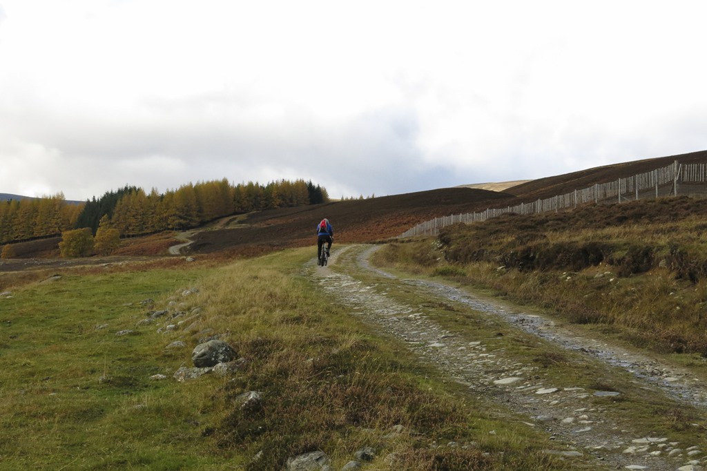
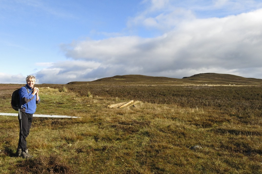 Roger at the start of the walk up An Suidhe which is on the left
 Looking towards Kingussie and the hills of Creag Mhor
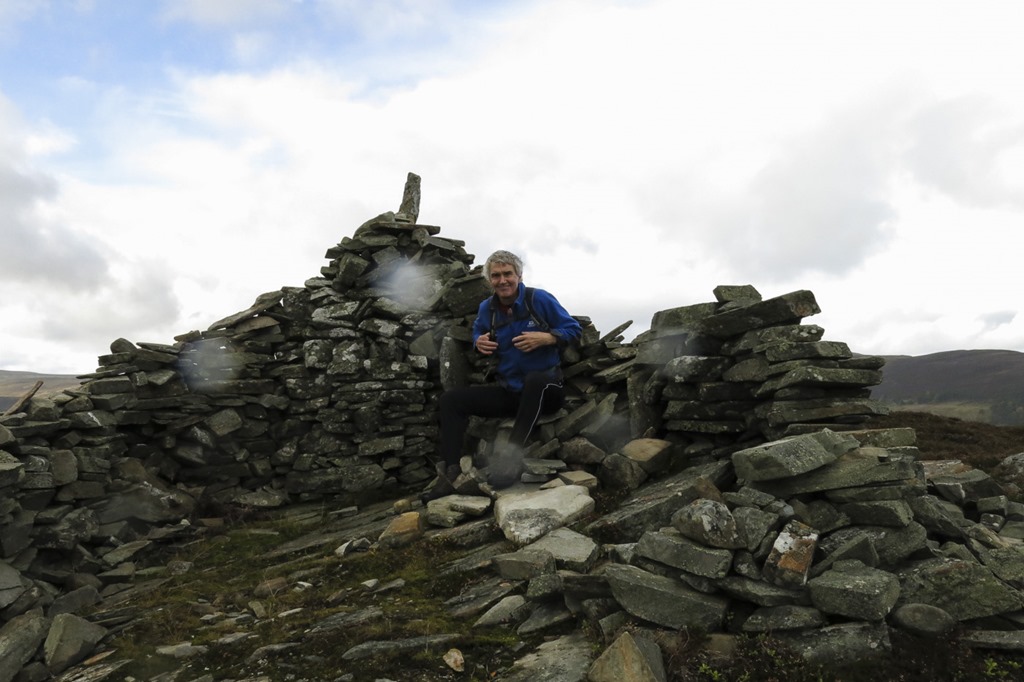
 The summit cairn of An Suidhe
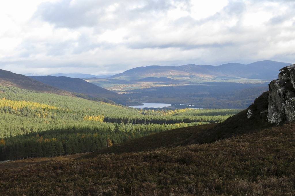 Loch Alvie
 An Suidhe
 An Suidhe 541m
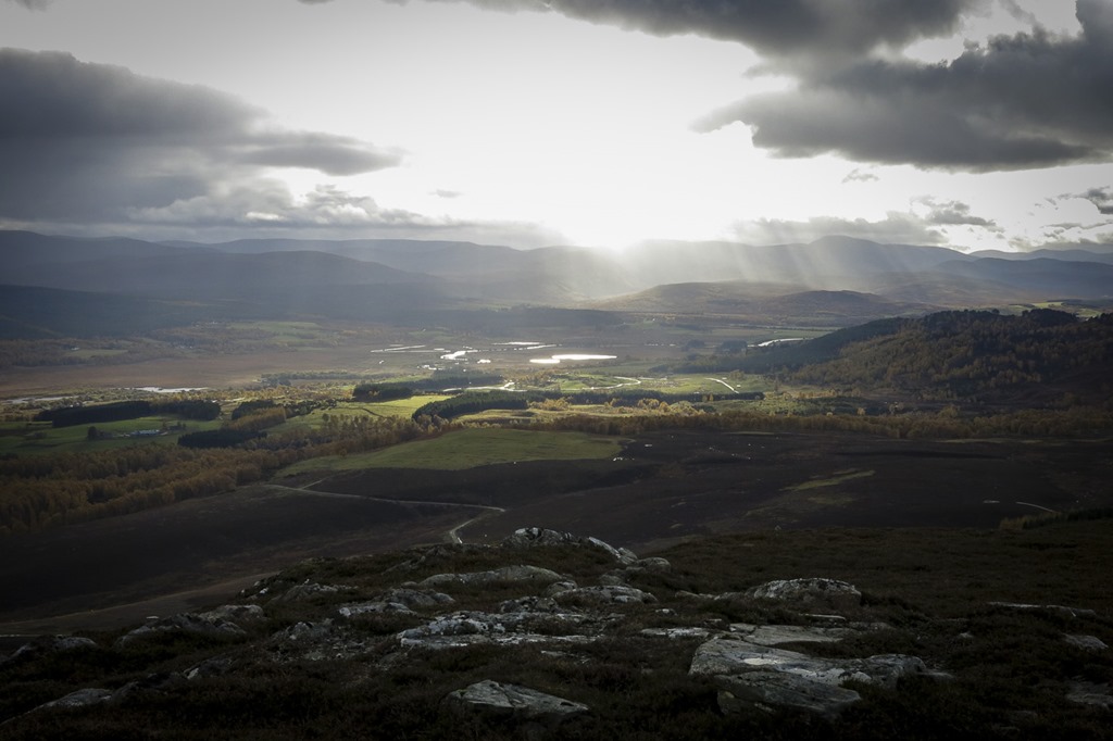
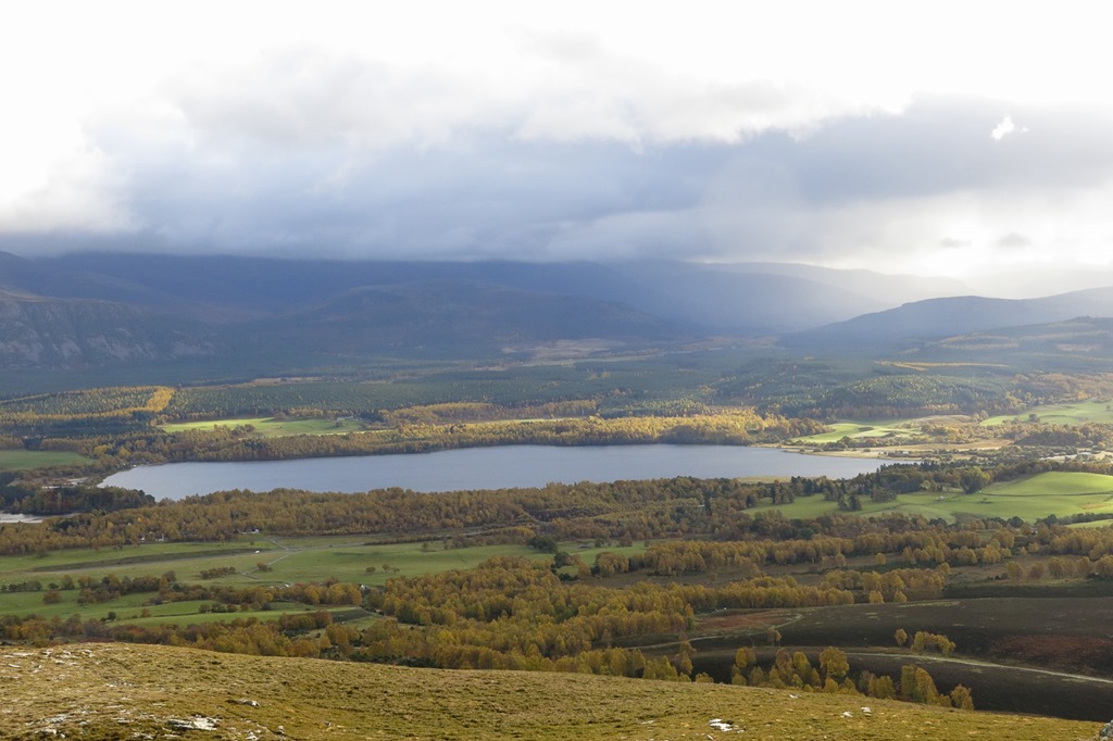 Loch Insh
 An Suidhe
 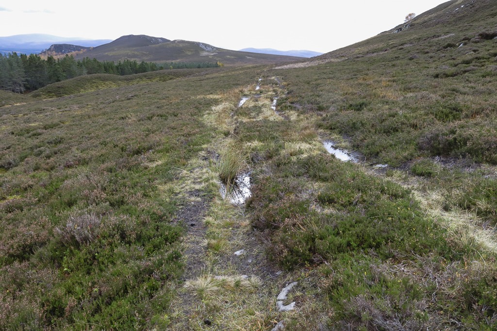 The tracks got worse!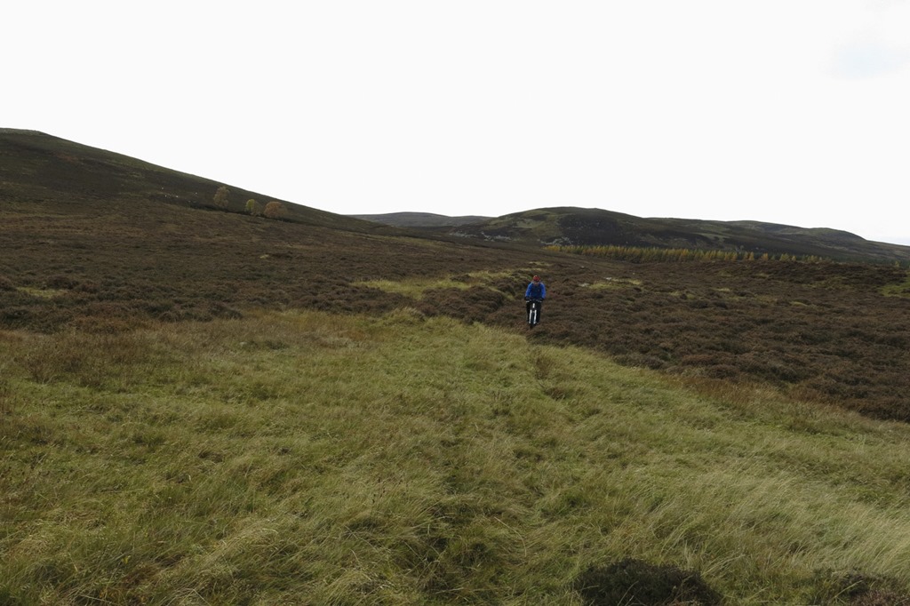
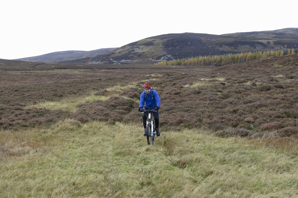

D:27.93 T: 2.25.21 Av Sp:11.53 Max Sp: 27.80 – from bike speedy which is playing up – low battery
Nairn and Culban Forest
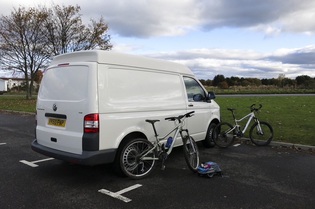
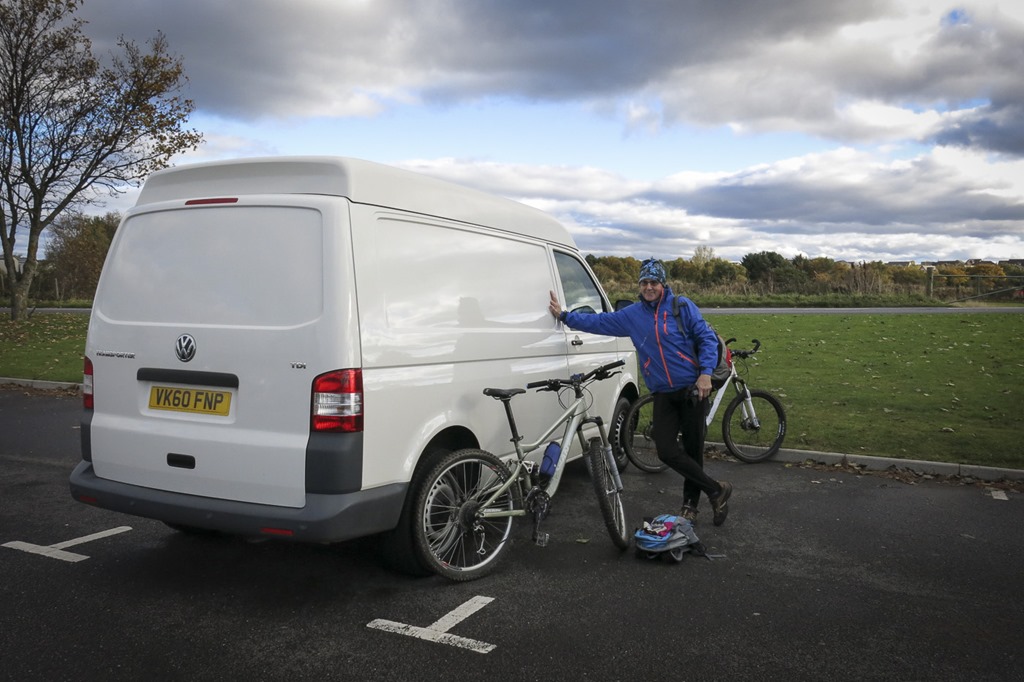
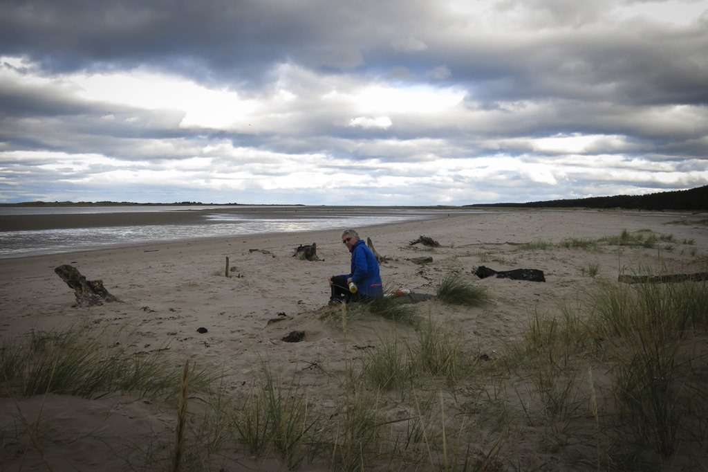
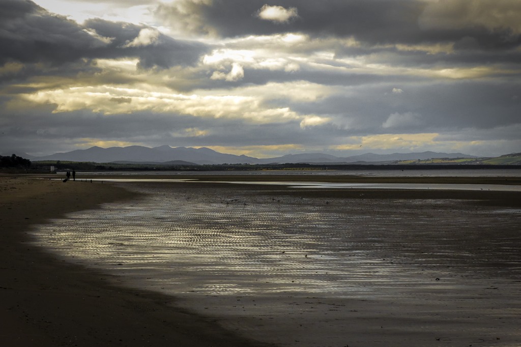
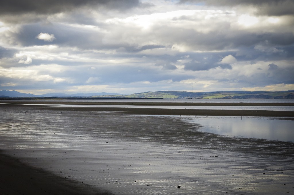
Our first trip out in the van!!! still only a van but still felt like the first day of something. Our first mission was to buy lunch ended up getting a picnic in Sainsbury’s. Then back to the start to find the way, at first we cycled along the coast and went over an amazing bridge to have our picnic. Then we went into the forest to follow the way top the look out – which we thin we might have found and then after a few attempts as seen on the Strava page we missed the largest sand dune in Europe completely not sure how we did that! The ground was a bit soft and we found the going a bit hard – I never like flat rides! but an enjoyable day despite my going over the handle bars! Back home for a chippy tea!




A ride with a hill again
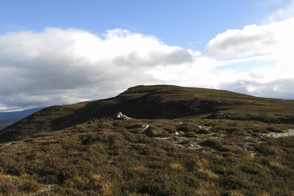
Ord Ban 428m
D: 20.01km T: 1:46:14 Av Sp: 11.30 km/h Max Sp: 36.21 km/h
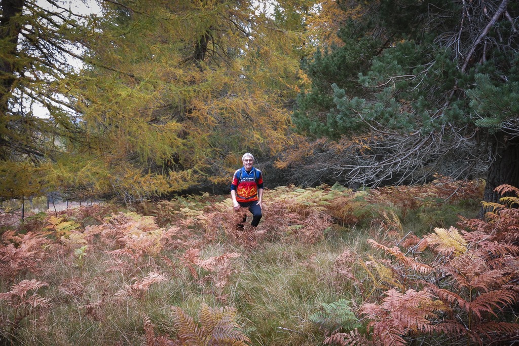
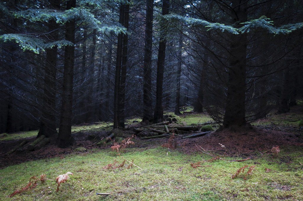
It is becoming a bit of a theme a bike ride with a bit of a stroll up to a top. only this time it involved a ride through a deer park hauling bikes over fences, a scramble through a forest and then a distinctly Hansel and Gretel’y experience with Roger leaving branches to mark our way and then a bash through heather – what fun …but I logged Ord Ban on my peak hunter app and recorded the route on Strava and it was a lovely view from the summit. We went back via the Lilly loch.

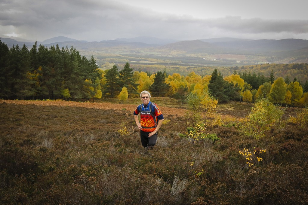
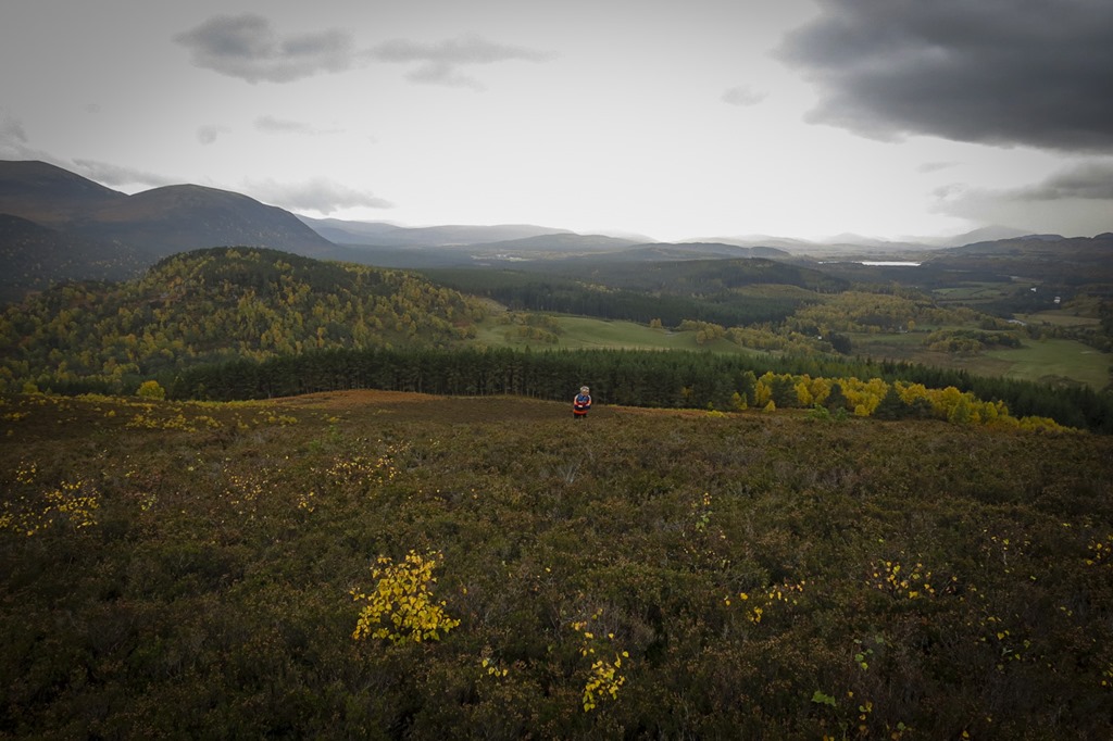 Looking West
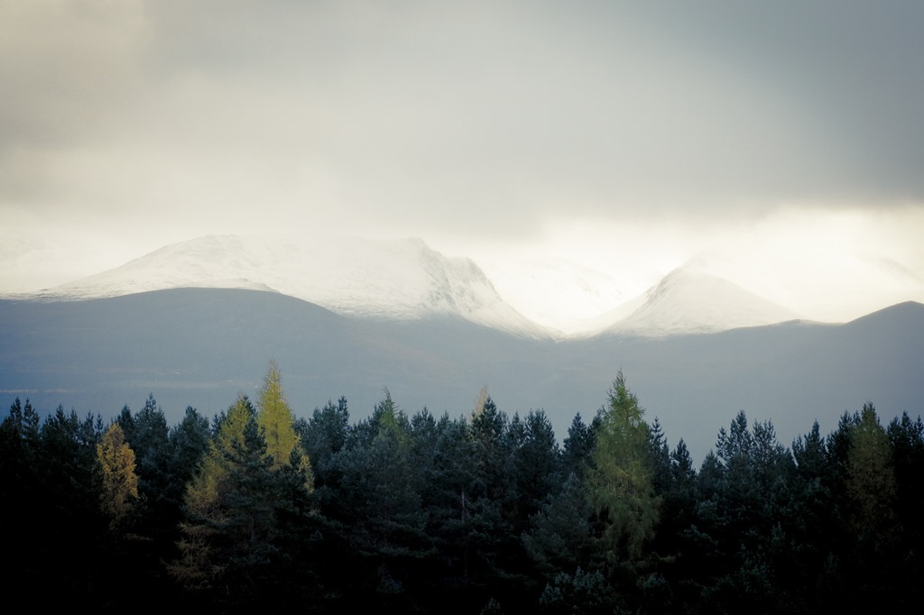
 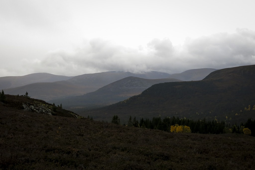 The four layers of hills from right to left: Creag Dhubh, Carn Eilrig Castle hill, and Cairn Gorm
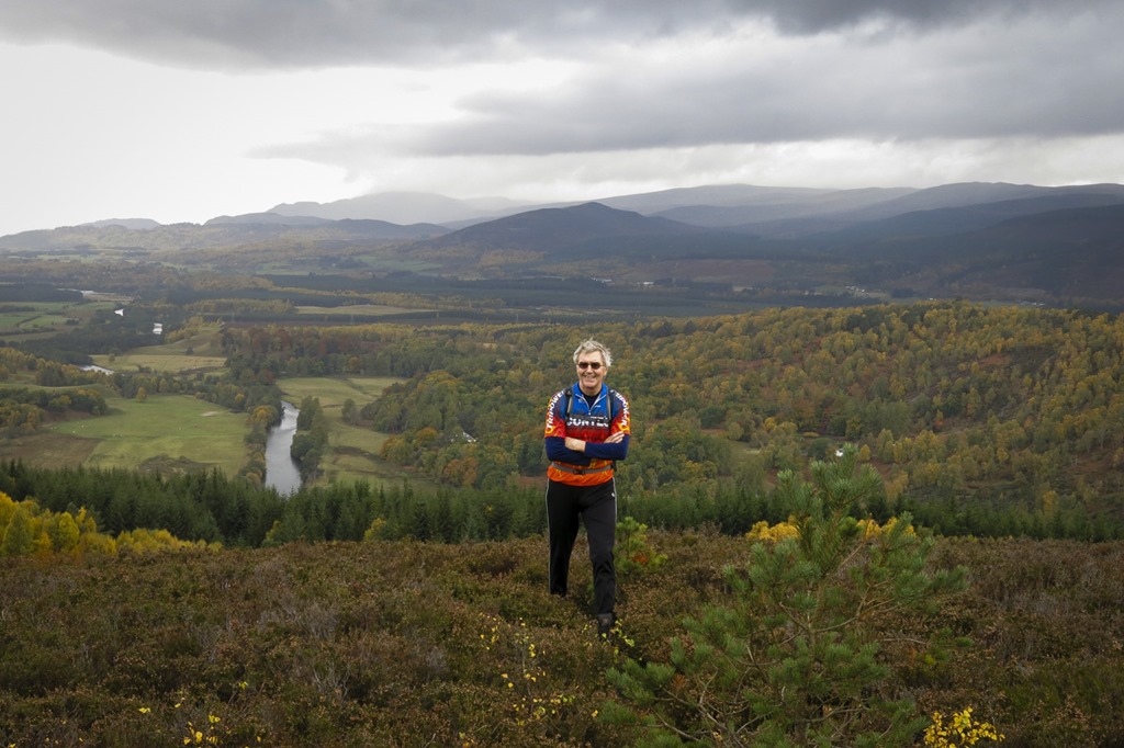
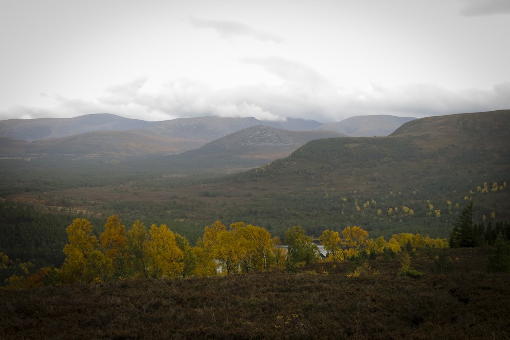 The four layers of hills from right to left: Creag Dhubh, Carn Eilrig Castle hill, and Cairn Gorm
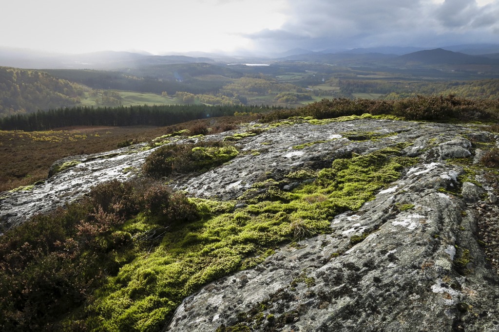
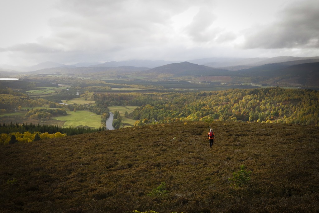
A ride up to Glenmore and a short walk on the way back
Creag a’ Ghreusaiche 435m
D: 39.63km T: 3:12:53 Av Sp: 12.32km/h Max Sp: 32.72km/h
We set off just before lunch time up the old logging way to Glenmore where we had lunch and then went our usual way back over the top to Boat. However on the way we passed a track that we had not been up before to thought we would take a gander. It led up to some sort of mast on the top of a hill but there was an other path leading to the top of Creag a’ Ghreusaiche 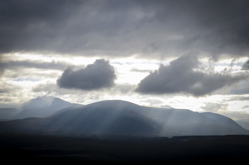

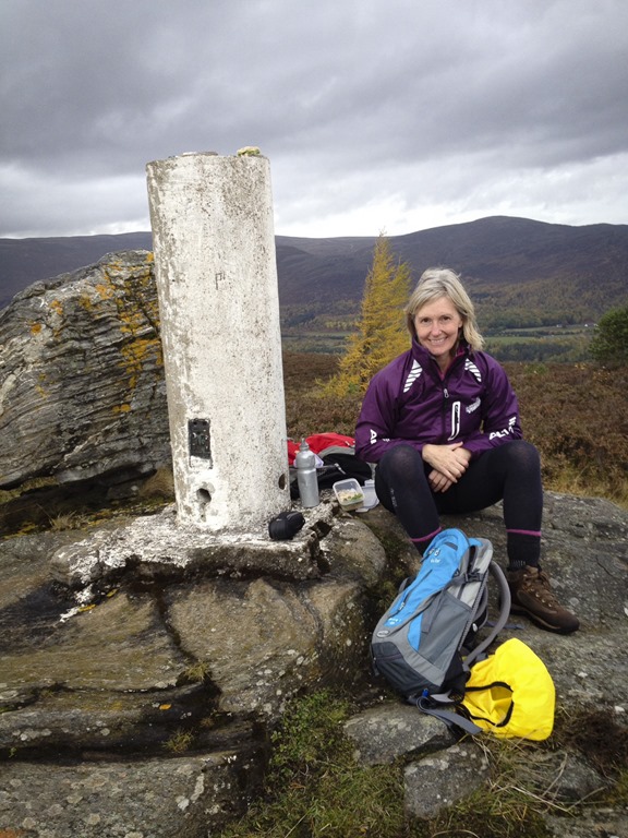
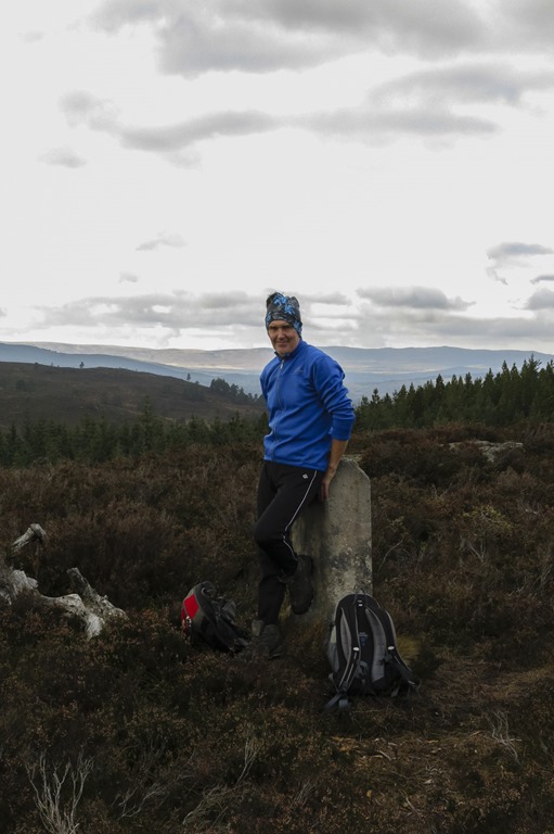 Summit of Creag a’ Ghreusaiche
 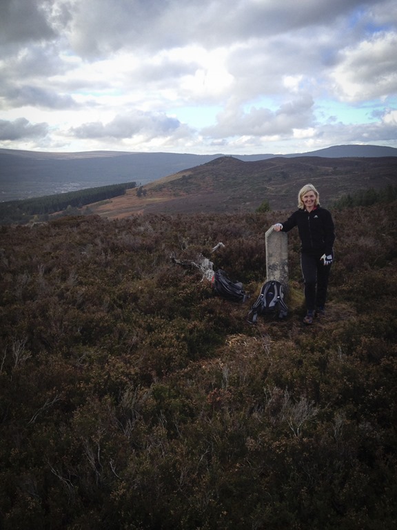 Me with Creag Phitiulais behind
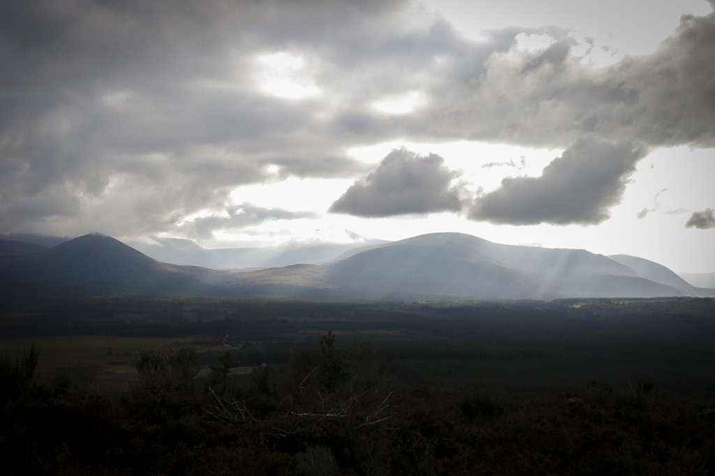 Carn Eilrig on the left and Creag Dhubh on the left
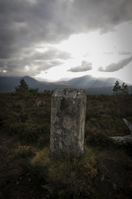 The valley in the middle is Gleann Einich
A very windy day!
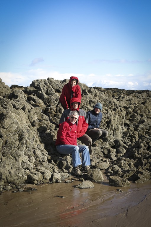
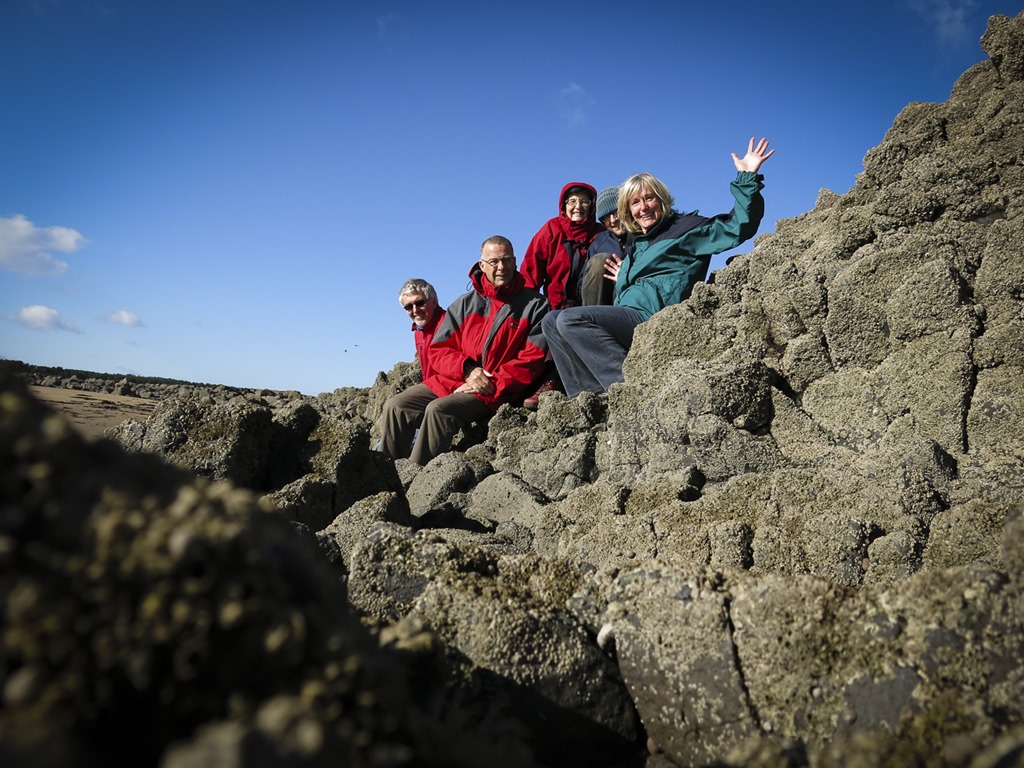
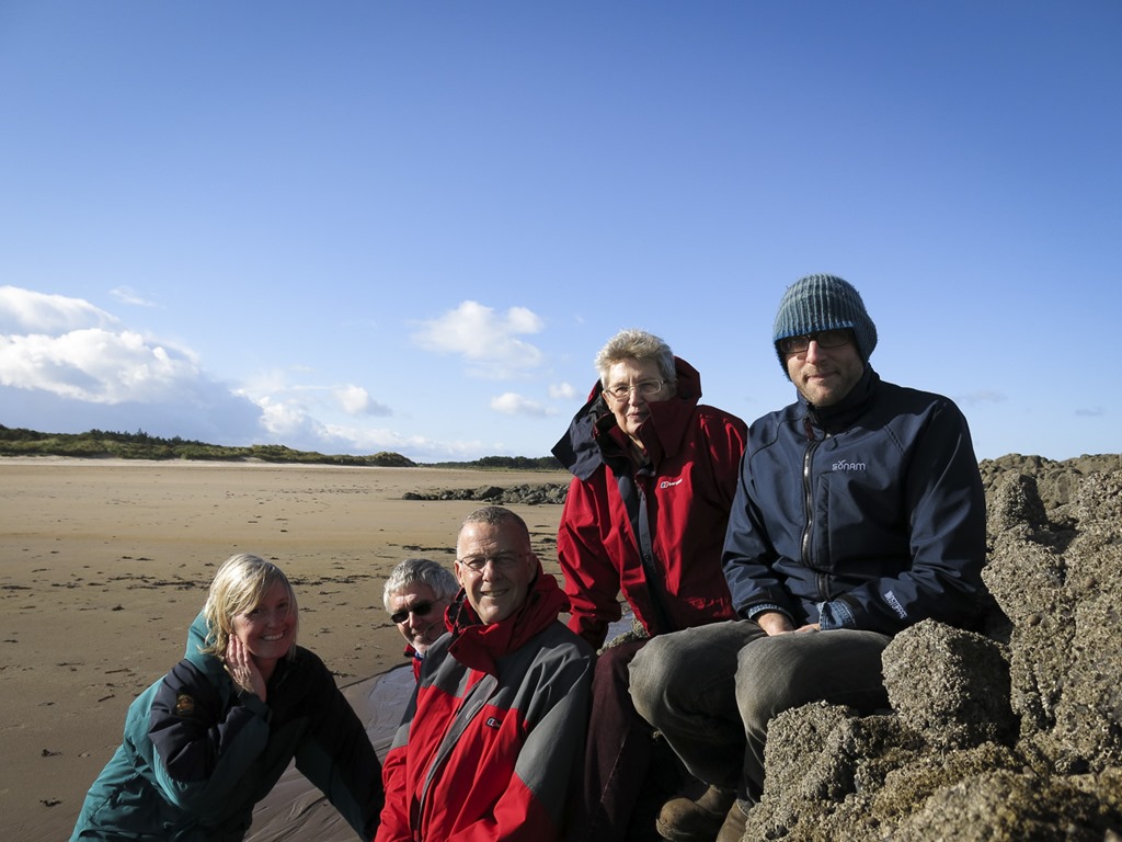
A walk on a very windy Yellowcraigs beach with Sue Chris and Sam. The day after the day we bought the van.
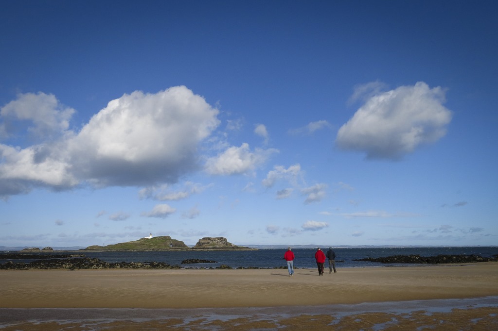
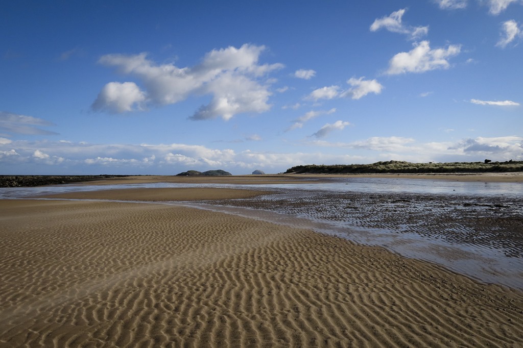
 Bass Rock
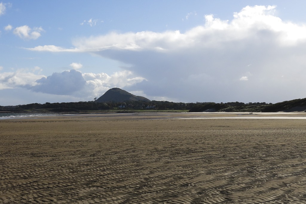 North Berwick Law
 Bass Rock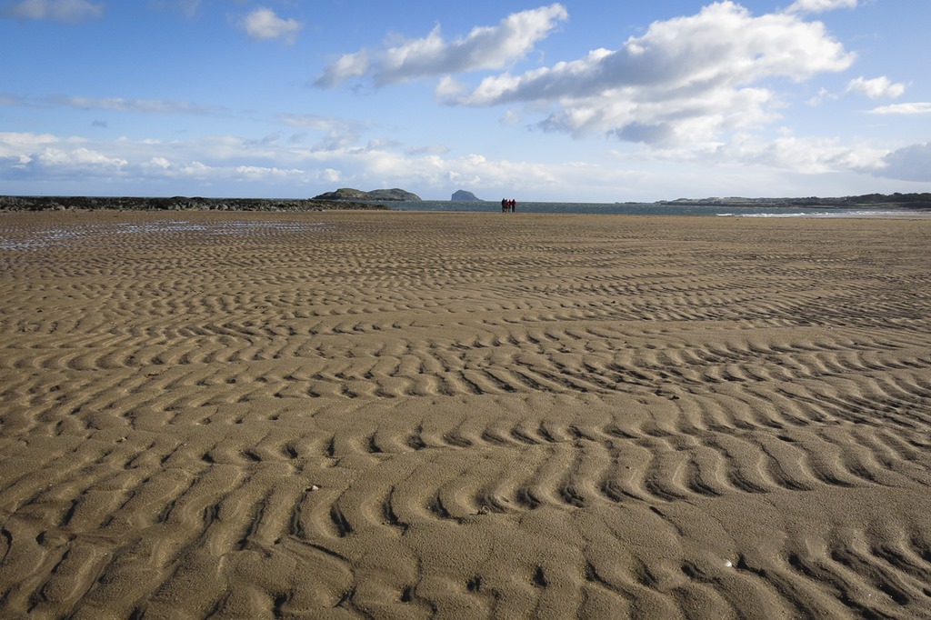

 Mountain Days and Photo Nights