Glen Nevis to Sgurr Choinnich Beag 963m
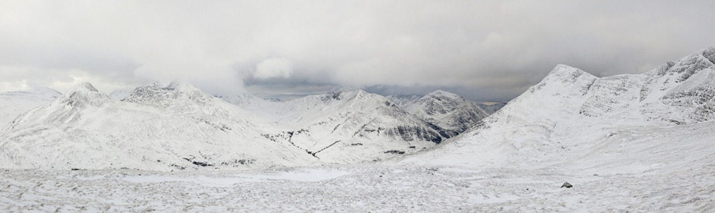
Binnein Mor 1130m An Garbhanach 982m Sgurr a’ Bhuic 963m
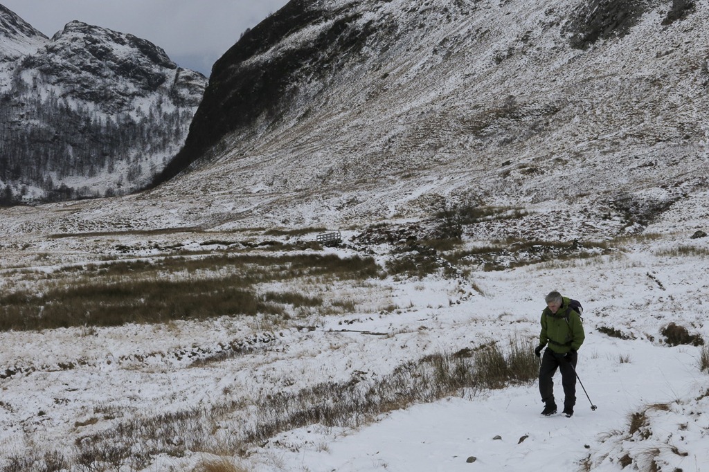
After a good breakfast in Morrisons we set off up Glen Nevis our aim was Sgurr Choinnich Mor which is a Munro. The last time we walked up glen Nevis to the wire bridge we had the gang with us – mum dad Joe and Kai and as I am often reminded I went up to my thigh in the mud just after berating Kai for getting a bit muddy – would I do that!
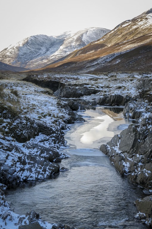
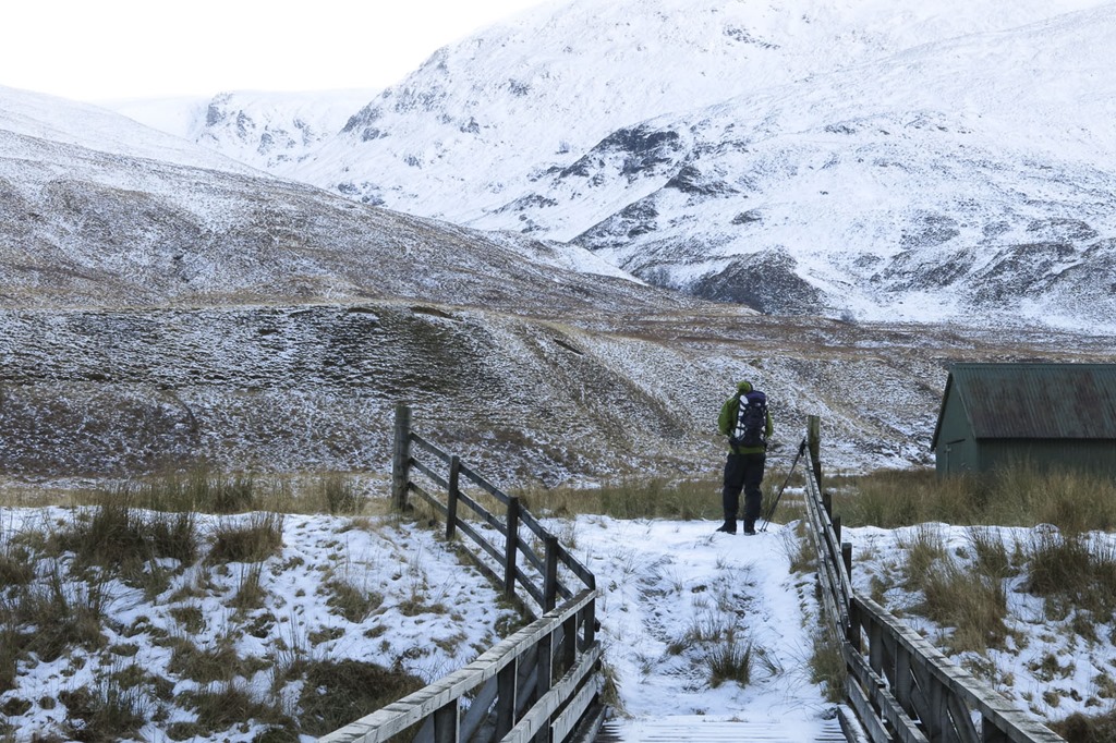
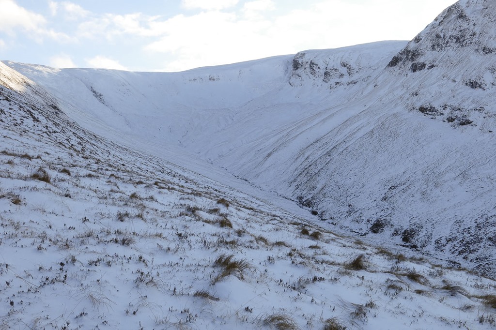
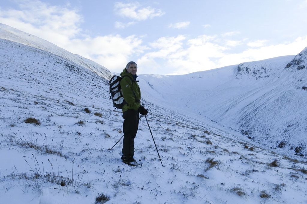
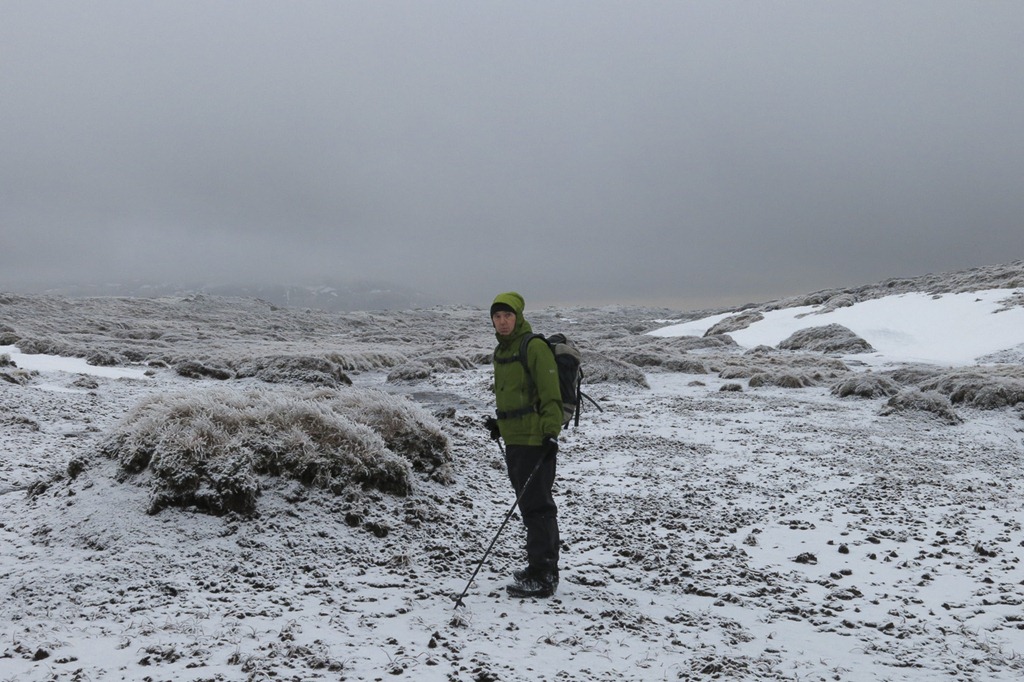
Today was just above freezing as we set of but the temperature dropped as we walked up. The going was quite hard ice was hidden under a layer of soft snow and as we carried on the it was deep in places and not others. Very beautiful bur as Roger said – hard work – every step counted! We reached the top of Sgurr Choinnich Beag at 2pm and realised that we didn’t have enough light to make the top the Mor. It would have been another hour we thought. We retraced our steps and got back to the car at 5.20pm we started walking at 10am.
The avalanche risk generally was considered to be considerable on East, North and West slopes we could see on the final ridge up to the summit a weak cornice had developed. We did trudge up some deep snow in places but the angle was not great and the ground under the deep snow on the mountain was heathery – so nothing to slip on. We didn’t see any wind slab today.
 An Streall – Waterfall
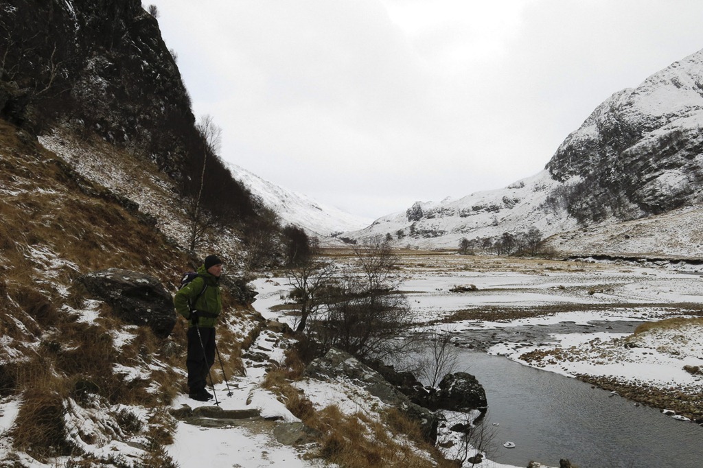 Looking up Glen Nevis
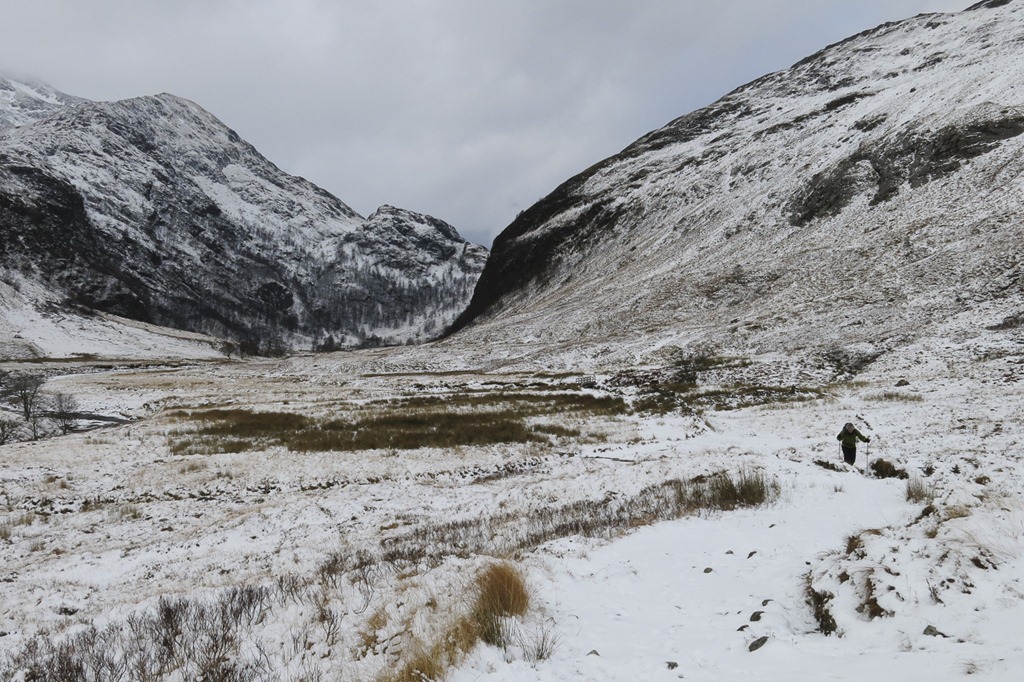 Looking down Glen Nevis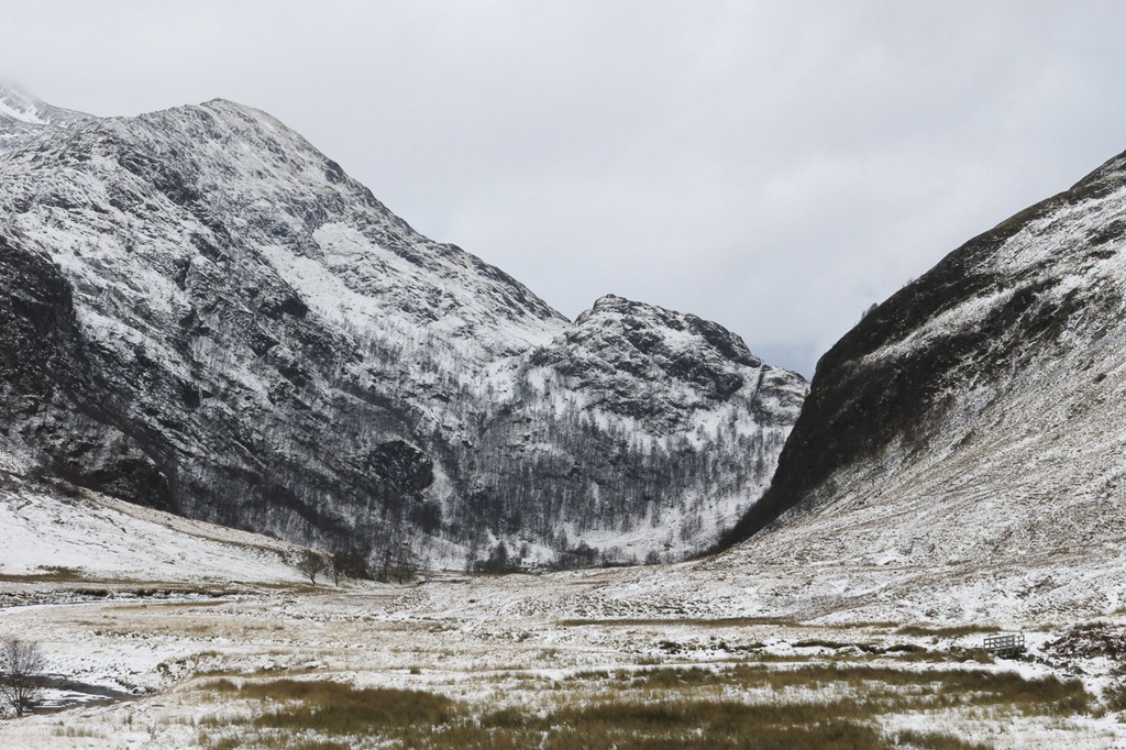
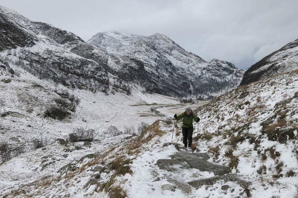 Sgurr a’ Mhaim 1009m behind Roger
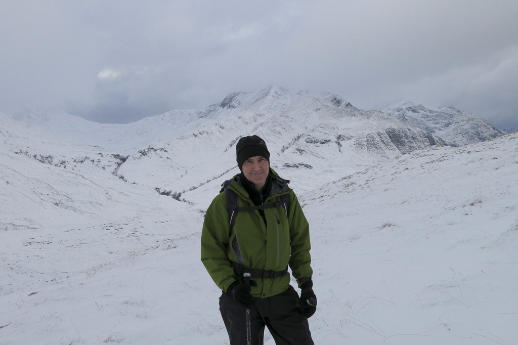 Roger with the Momores behind him An Gearanach and An Garbhanach I think!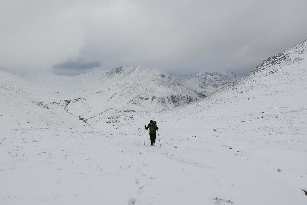
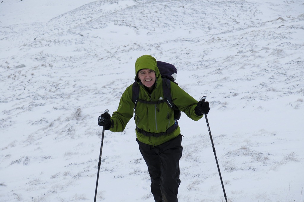 Can’t you just tell it was hard work!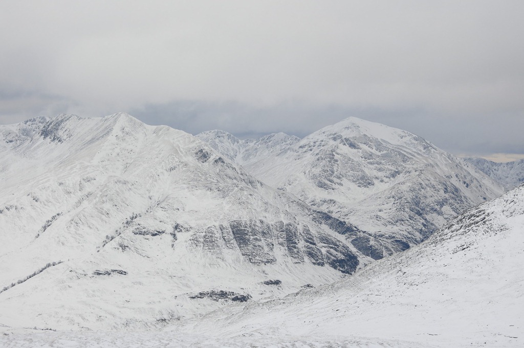
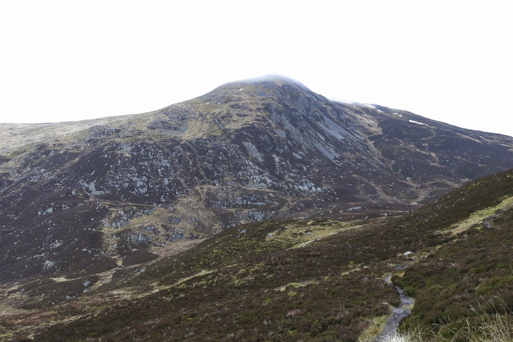
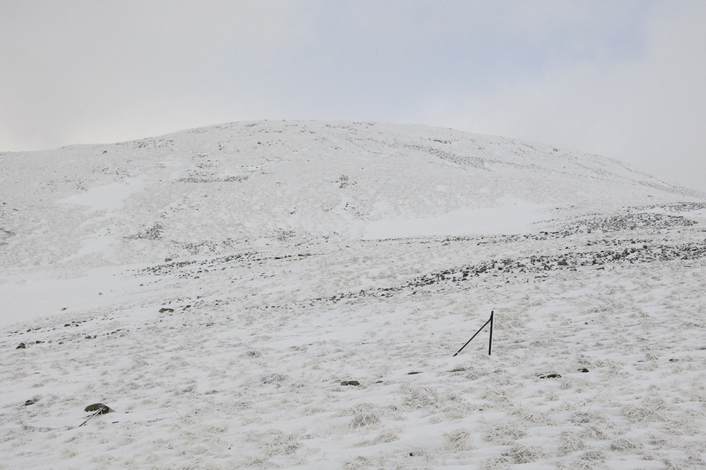 Sgurr Choinnich Beag
 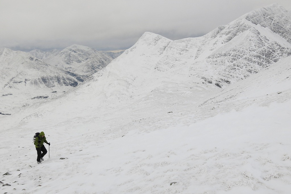 Sgurr a’ Bhuic and the slopes of Stob Coire Bhealaich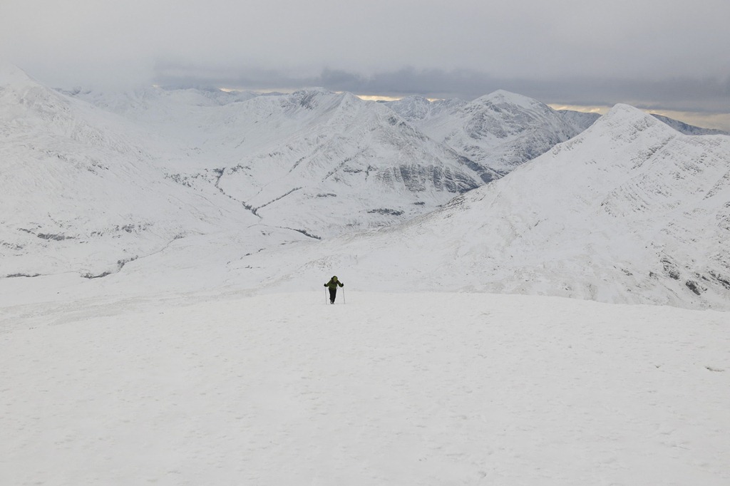
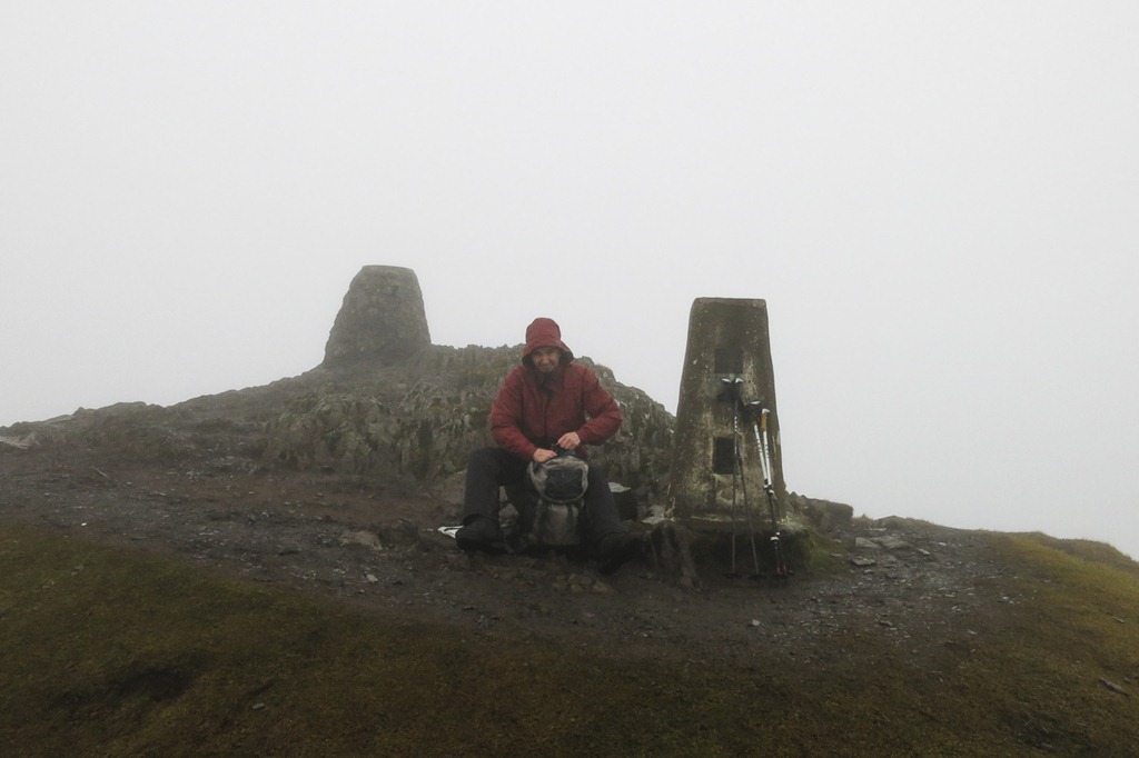
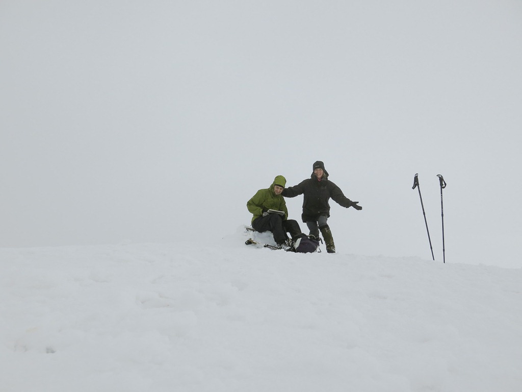 On the Summit of Sgurr Choinnich Beag 963m
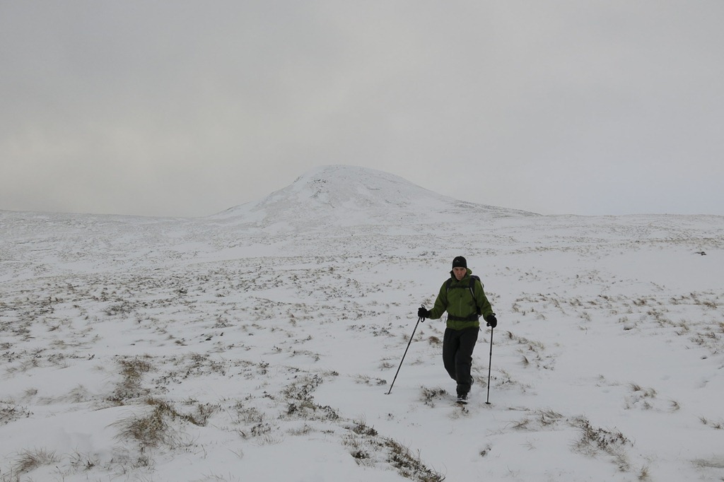 Coming down with Sgurr Choinnich Beag behind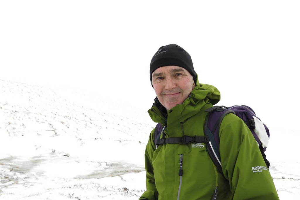
A happy day!
Glen Roy……a Snowy Walk
Carn Dearg (Glen Roy) 834m
A two night trip to Fort William with a stay at the travel lodge was just what we needed!
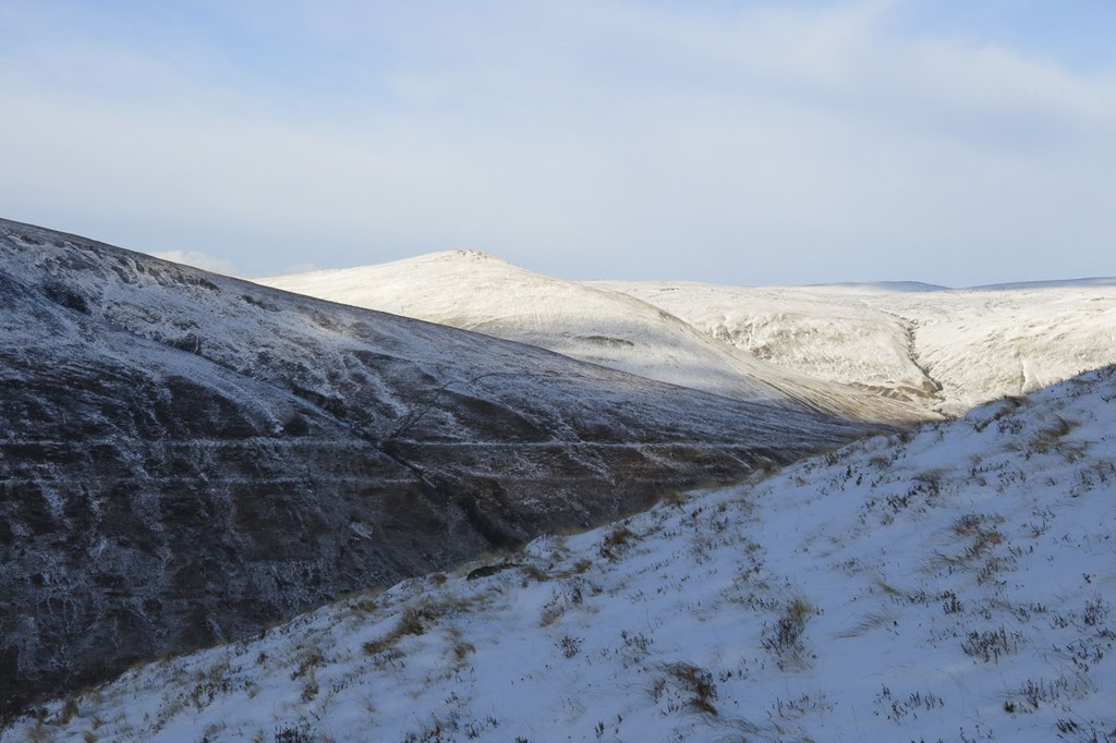
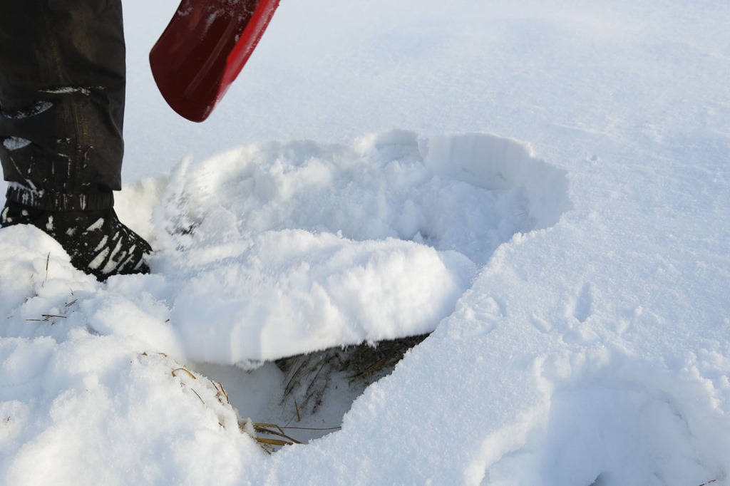
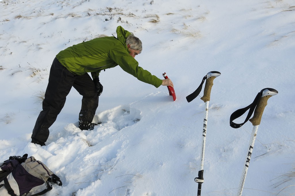
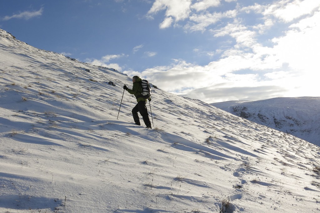



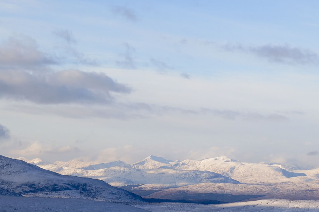
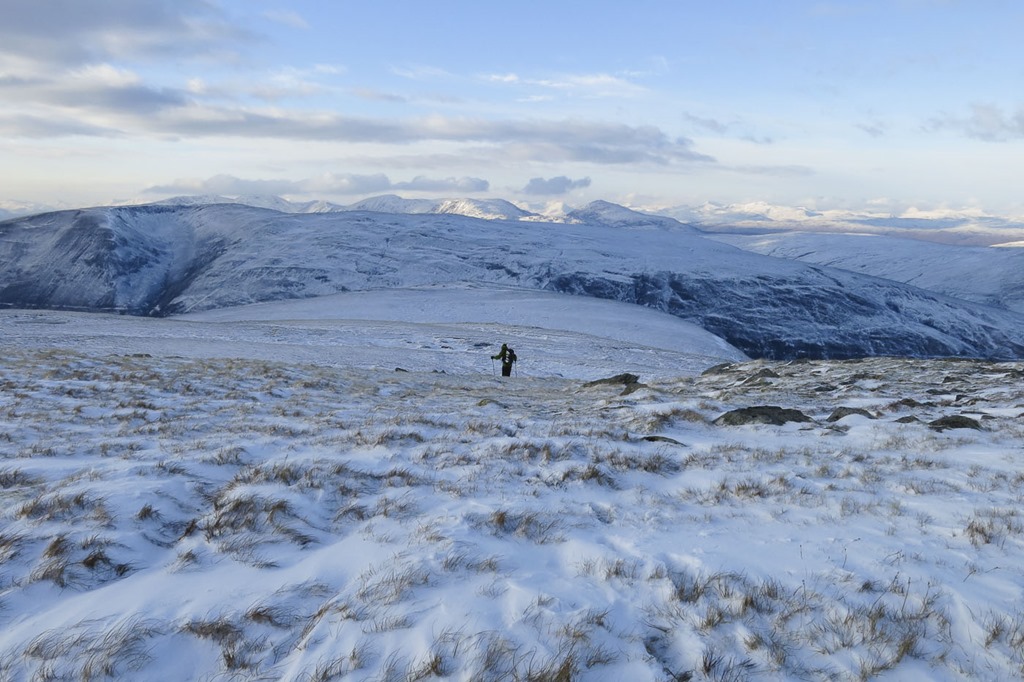
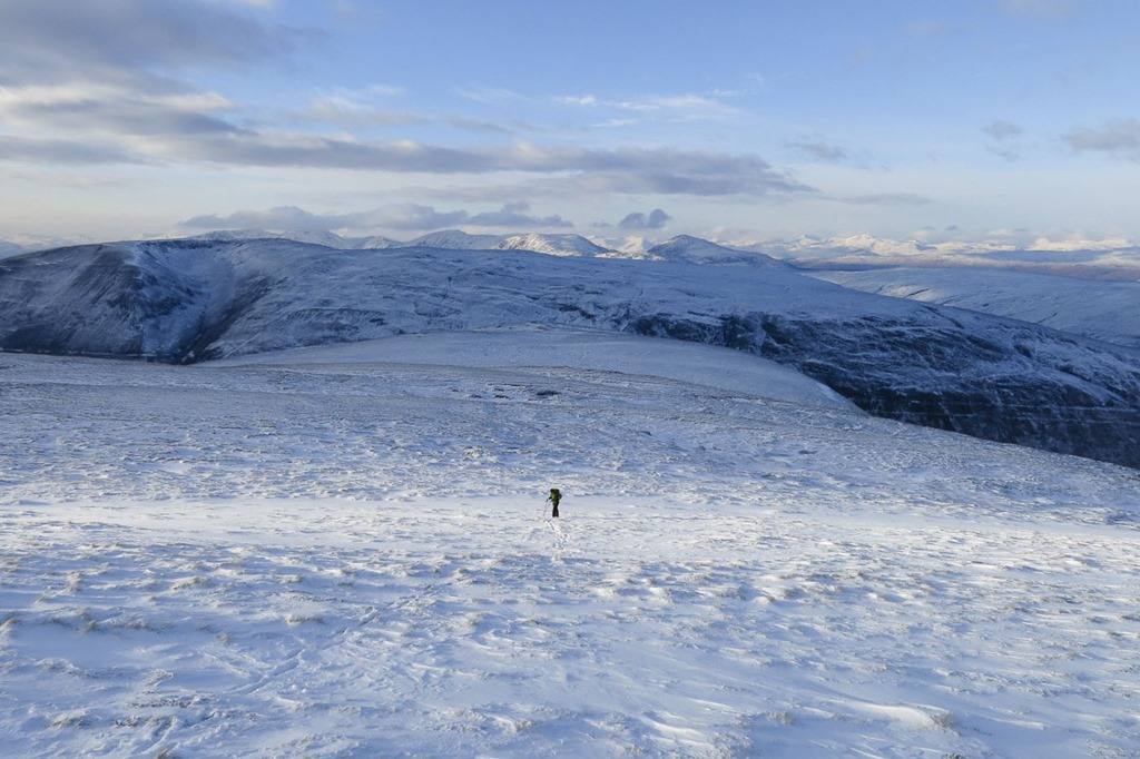
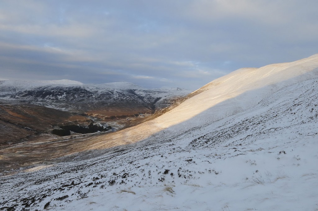

Still mild…….but cold on it’s way!
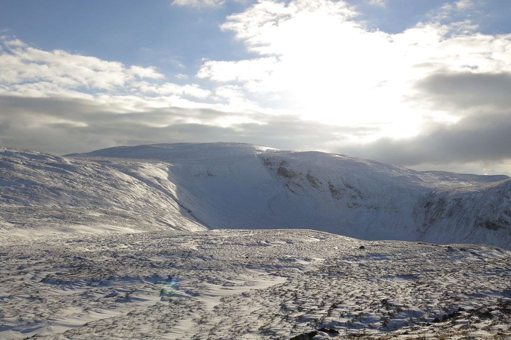
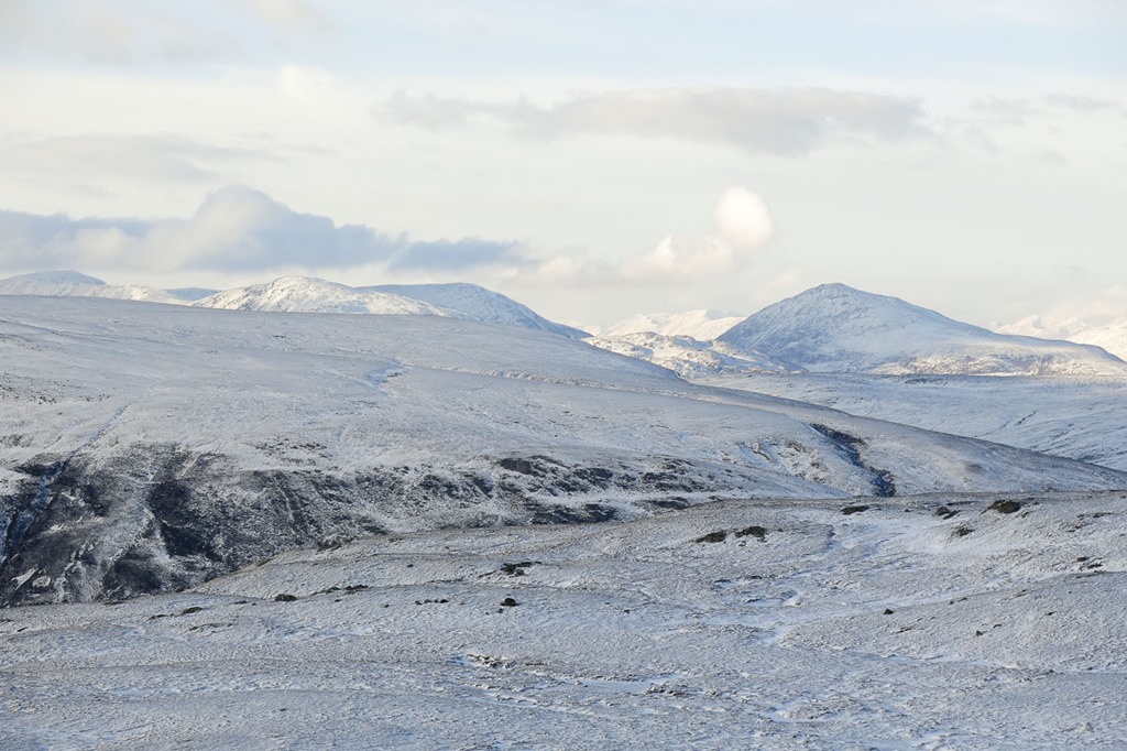
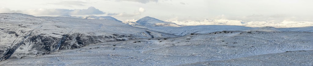
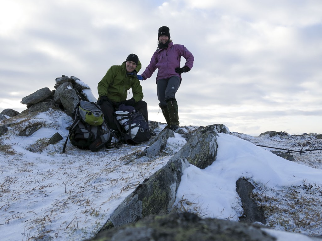
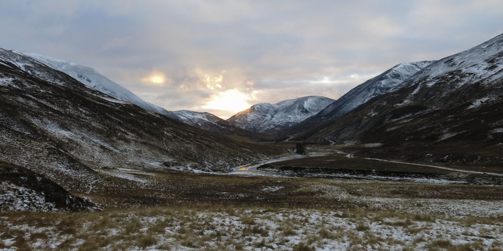
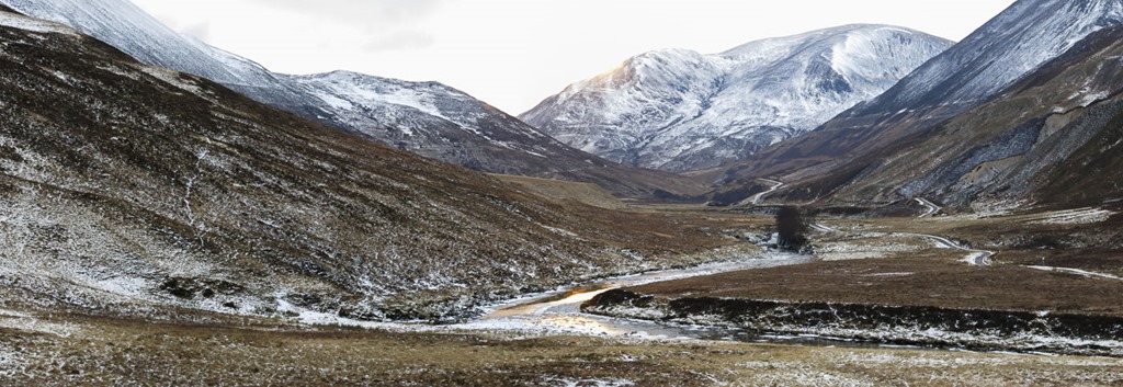
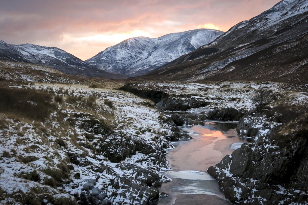
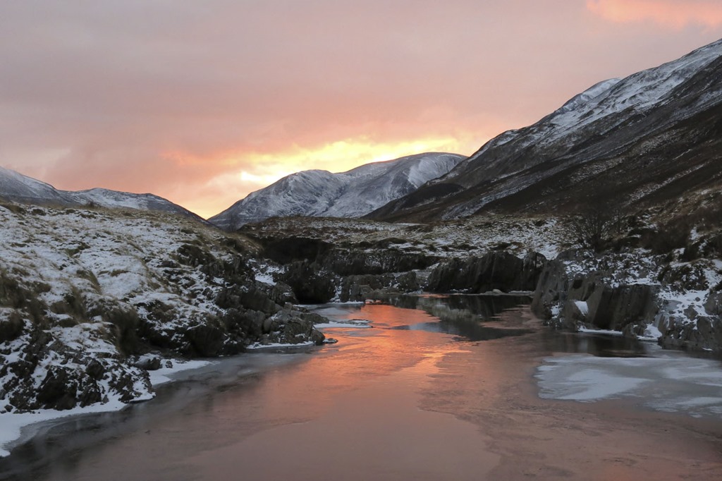
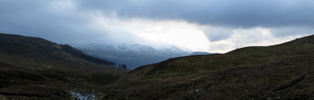 Now we thought that we had been down this road to the starting point before I thought it was the walk that wrecked my ankle but in fact that was actually up a road leaving Newtonmore! It should have been a sunny day to day in fact it was minus 6 when we left home but as we travelled west the temperature rose to just below freezing. We set off and followed the track and the stream then struck out up the flank of the Meall na h-Aisre to the trig point at the top. we then follwed a fence looking for the stalkers track down the Blackmore Burn and Feith Talagain that was a figment of Rogers imagination until we reached the river in the valley and …the Stalkers path! which followed the stream and back to the car..Lovely

 Looking up the river Spey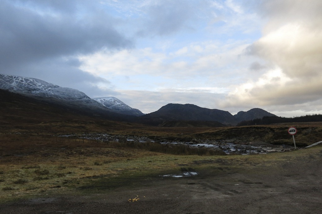
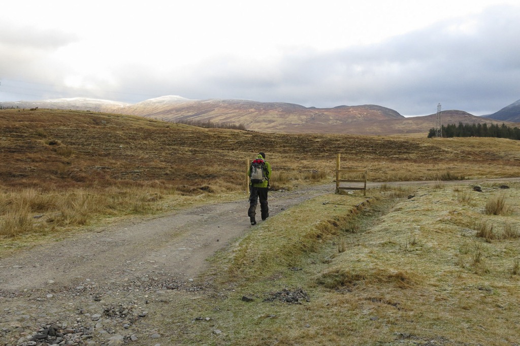 Walking up the track Meall na h-Aisre on the left looks lower than the begining of the ridge: Leathad Gaothach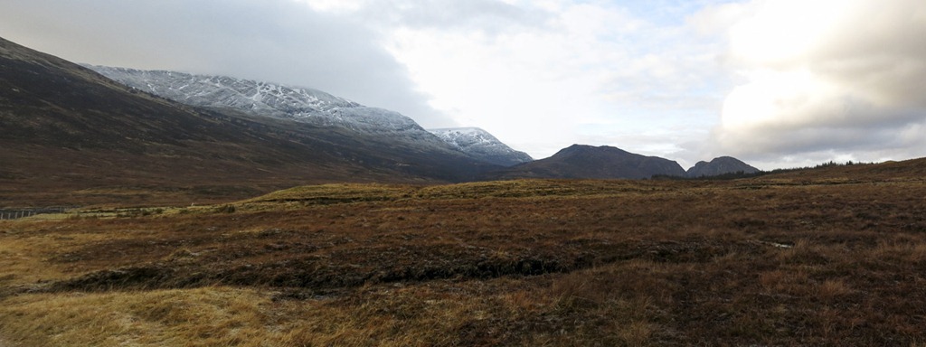
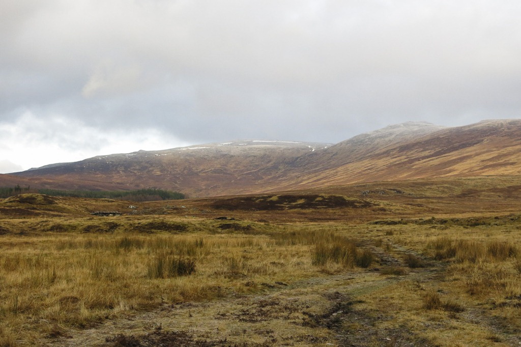
Meall na h-Aisre 862m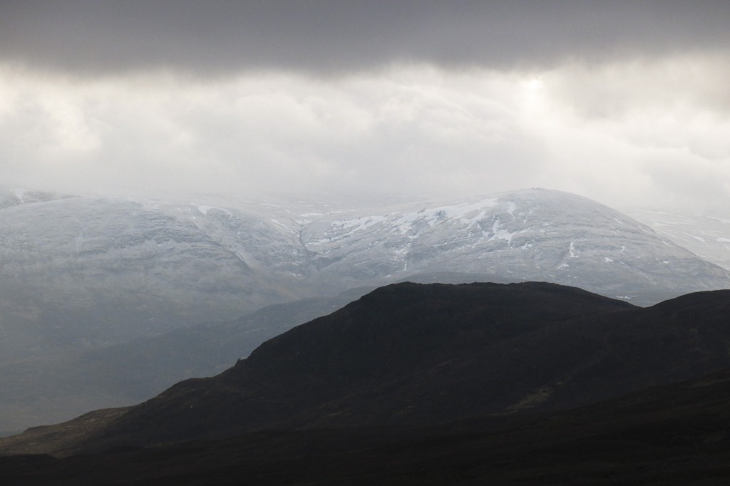
 Creag Mhor from Meall na h- Aisre
 Creag Mhor from Meall na h- Aisre
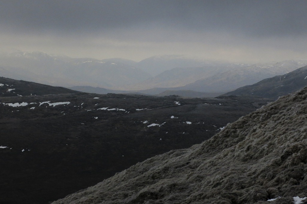 Looking towards Creag Meagaidh
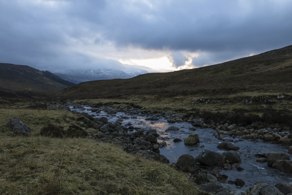
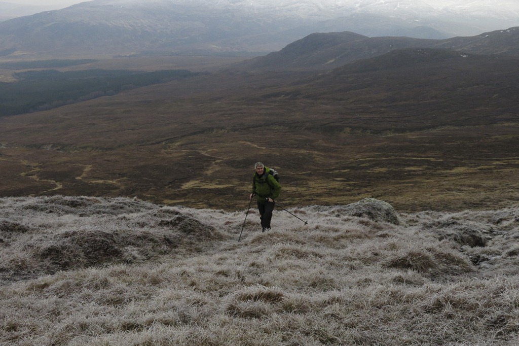 You can see our route following the banks of the Allt Coire Iain Oig
 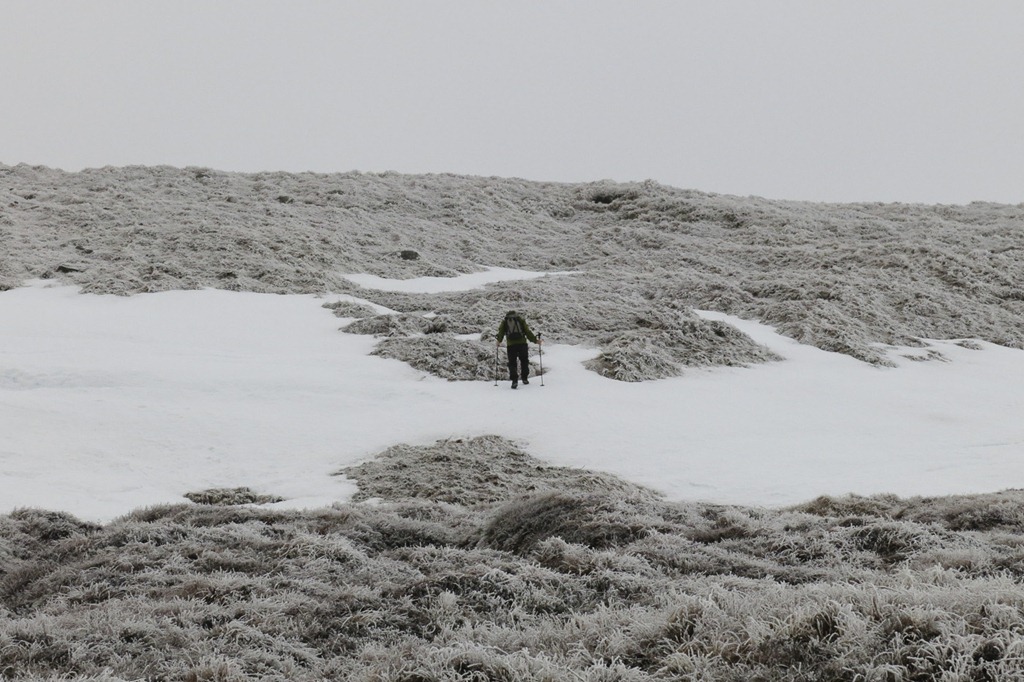 Heading to the top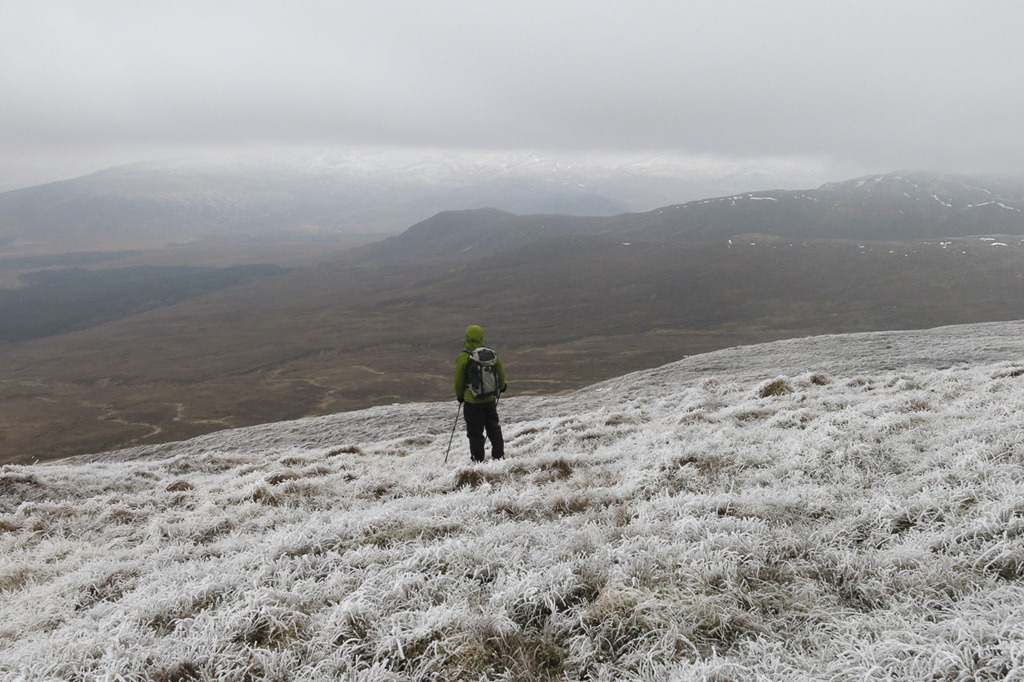
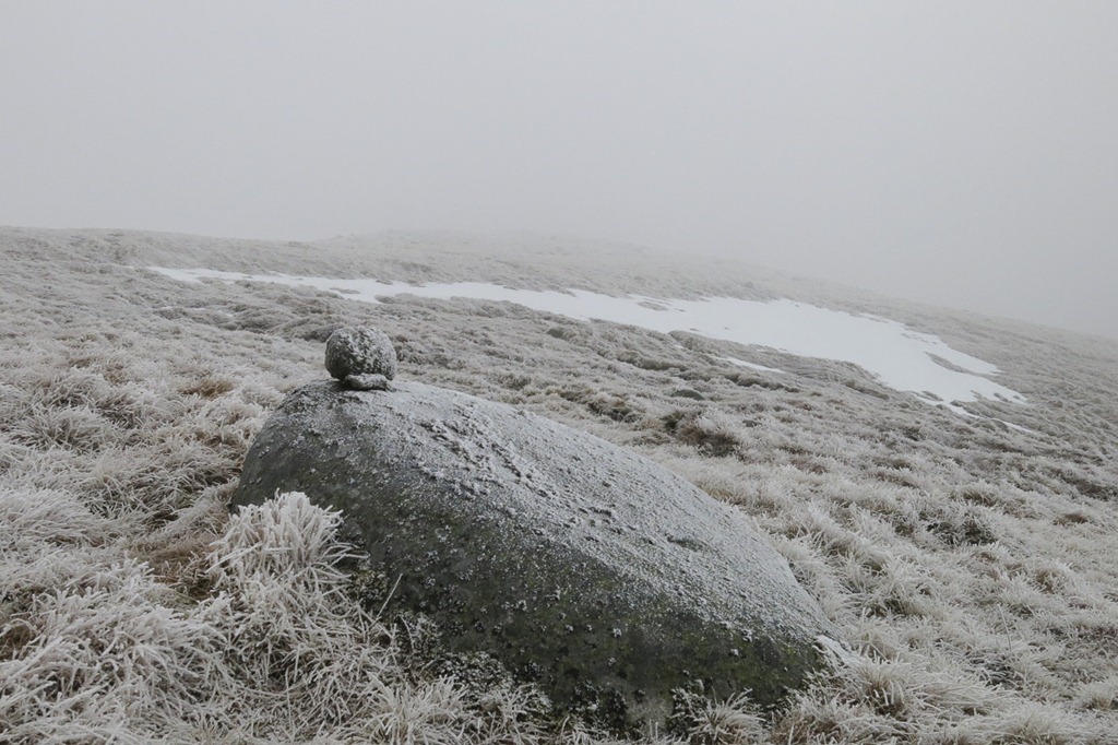 The summit in the mist!
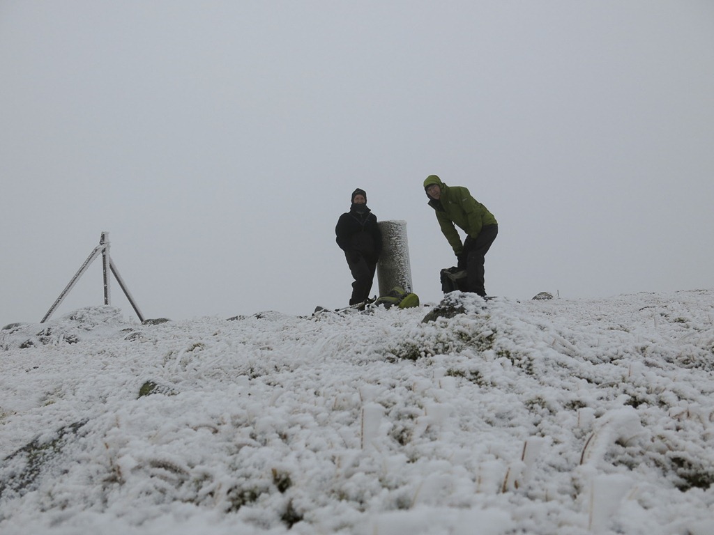 Meall na h-Aisre 862m with a round tri point
 Looking for the stalkers path
 Looking back to the ridge of Leathad Gaothach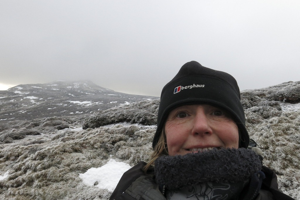
 Feith Talagain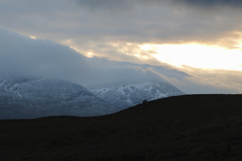
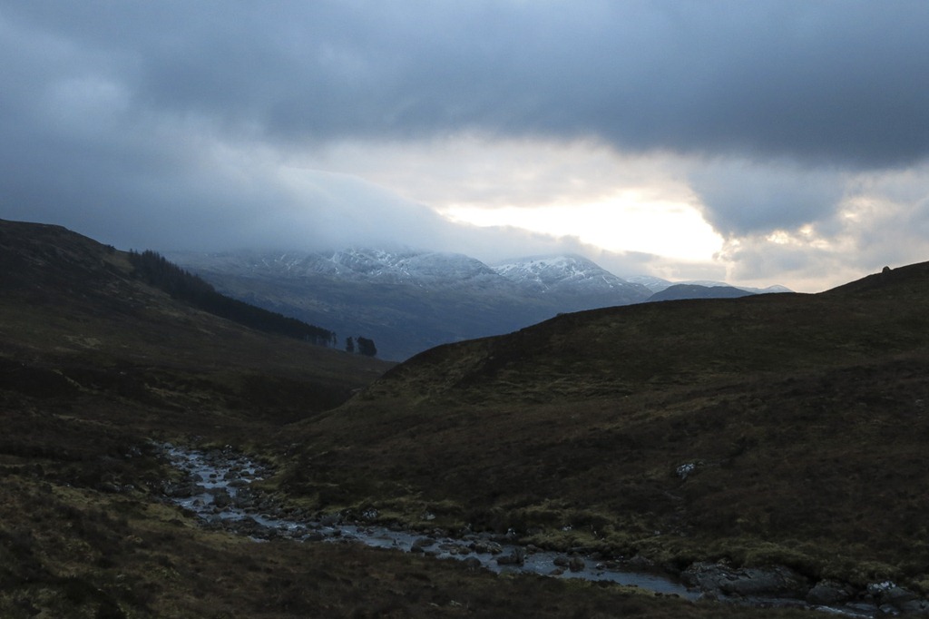
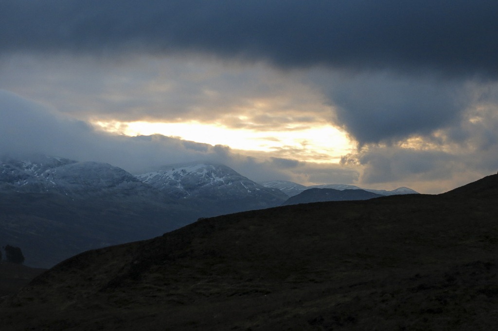 Sunset over the Glenshirra Forrest
Still very mild
 An Dun 827m
Today we decided to revisit Gaick Pass. Back in May 2011 we cycles right through the pass back to Kingussie where we had caught the train. Today we took our bikes as far as the derelict Sronphadruig Lodge. We hid the bikes and headed over the boggy ground to the beginning of the steep climb up An Dun. there was a little track most of the way up and it was actually quite a pleasant climb. We reached the fist Cairn and looked to towards the second on the ridge – it looked higher but when we got there the first one looked higher! We trogged down and had a sandwich by the Loch. Before heading up the next hill Maol Creag an Loch. this was steep too with a big flat top – I headed to the left and should of gone back to the left but we had a bit of a quick walk back to the summit. Time was getting short so we wasted not time in making our way back down to the bikes and a cycle back to the car in the near dark. A very good day with a lovely sunset.
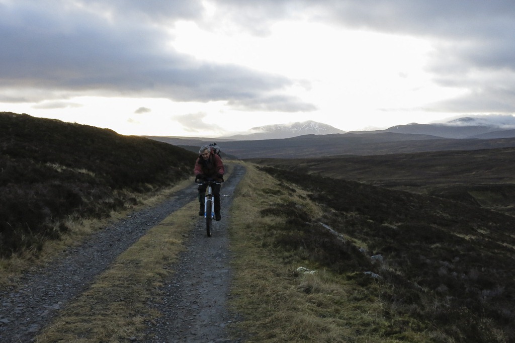

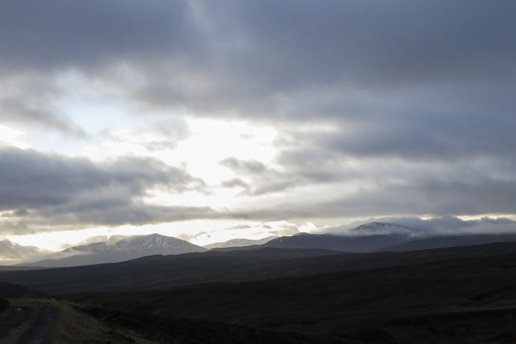 The mountains on the other side of the A9 possibly Schiehallion and Beinn a’ Chualliach
  Am Meadar on the left
 Am Meadar and An Dun just peeping up on the right
 An Dun 827m and Creag an Loch 876m
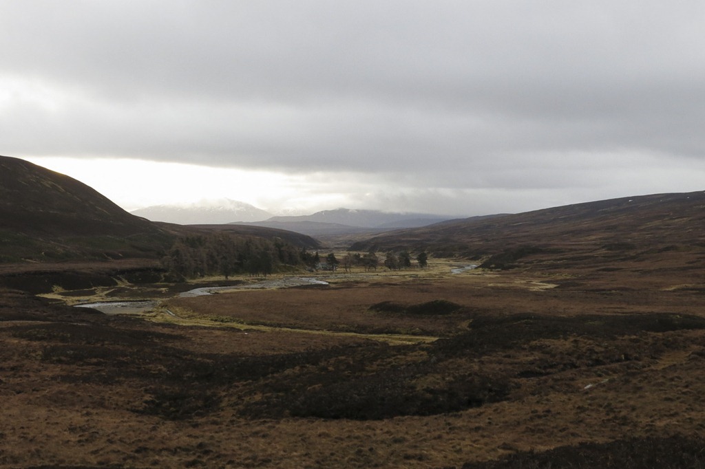 looking back down the glen
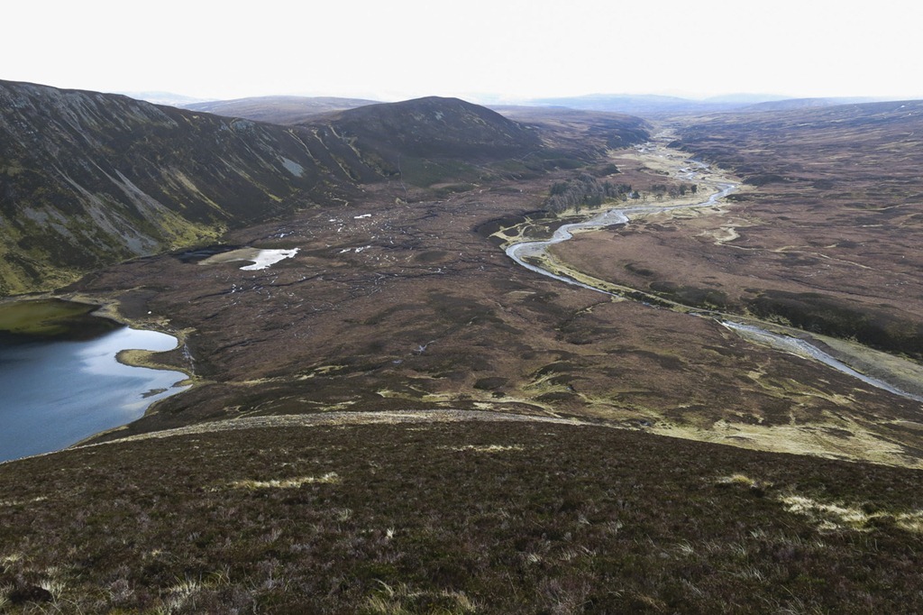 The left ridge was our decent route and then we came down the break between the tops to the left of the trees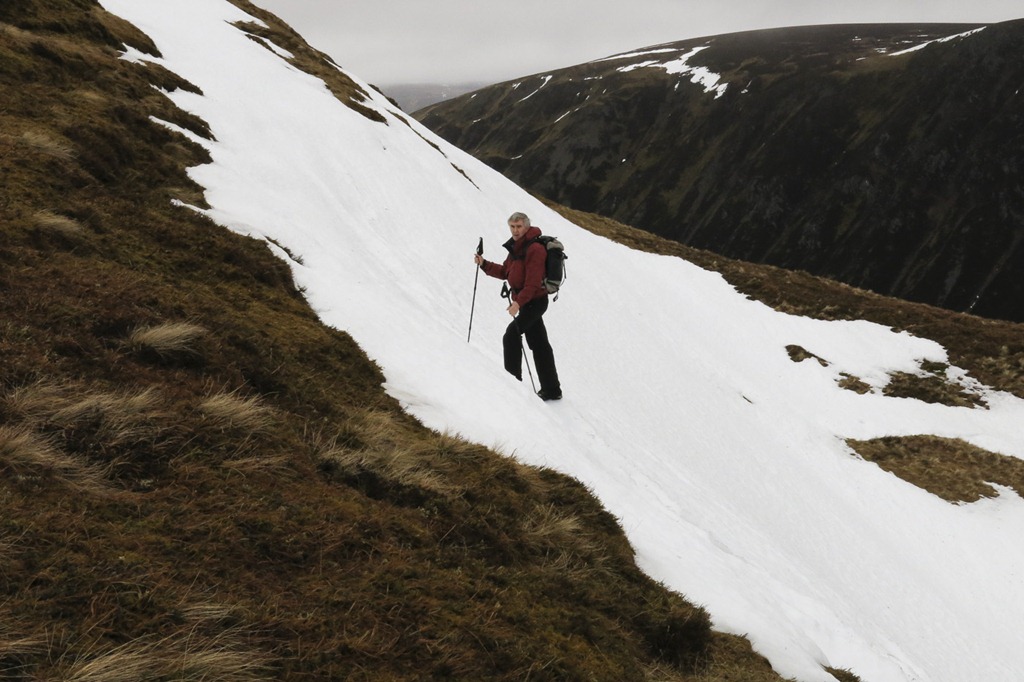
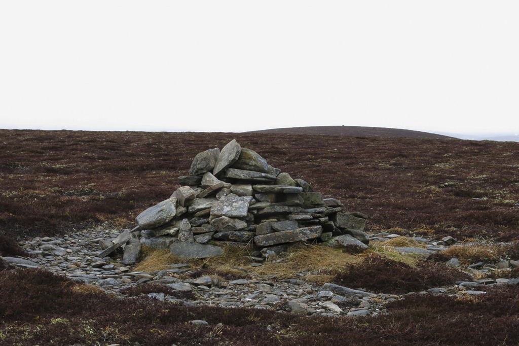 Cairn one
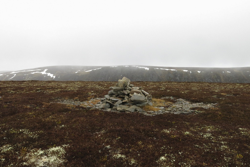 Looking towards Carn na Cairn
 Carn two
 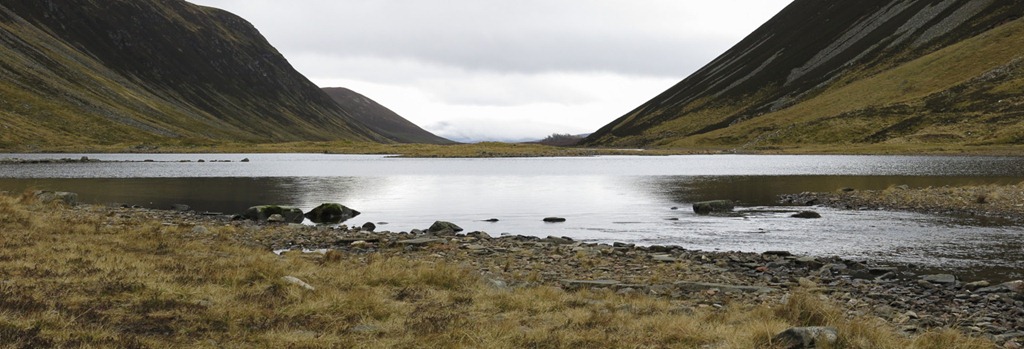 The Loch with no name
 On our way up Creag an Loch
  Looking up the Cama Choire
 Creag an Loch 876m
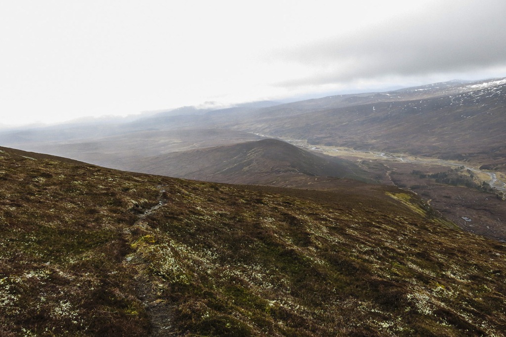 Our descent route
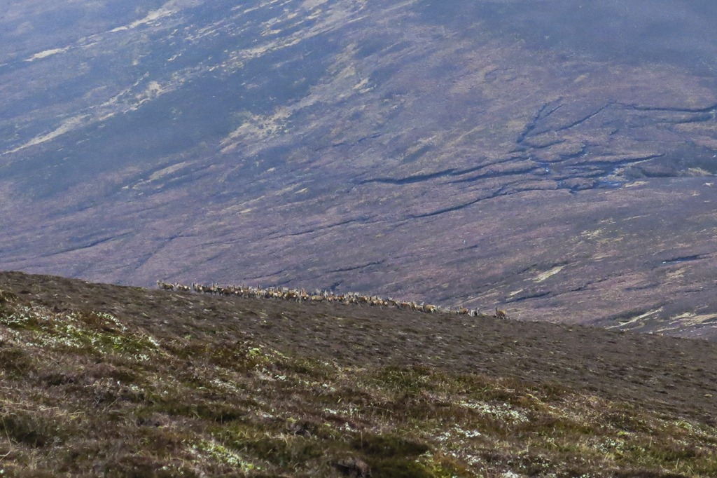 Deer
Deer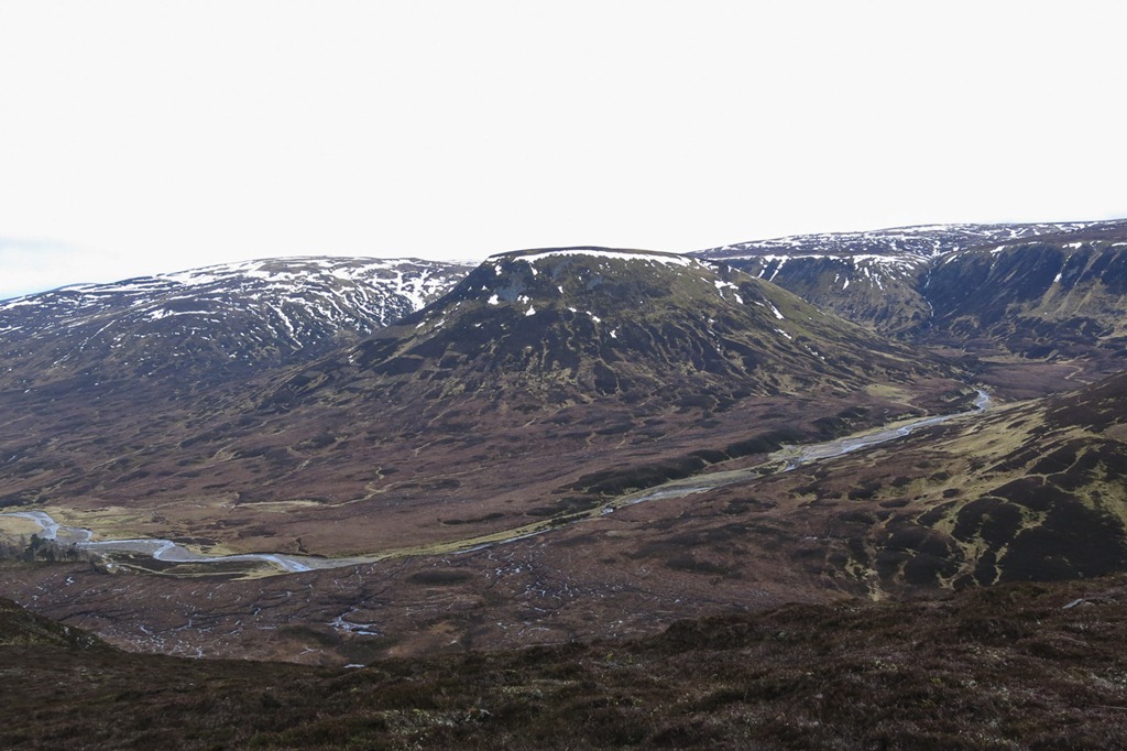 Am Meadar and Cama Choire

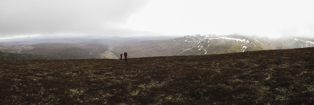 Double trouble on the ascent of An Dun
Beginning of a mild spell
Ben Vrackie 841m
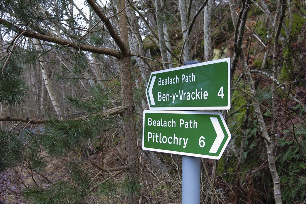
As the weather has gone very mild and skiing is not an option we thought we would turn our attention to some mountain walking and Ben Vrackie seamed like a good choice. It was an interesting route that we took starting off from Killiecrankie we walked round the loch below the hill and joined the tourist route up the hill just as the cloud started to come down. A well made up path of steps lead to the top. We met a few folk coming down who told us many times how cold and windy it was at the top. by the time we got there it was misty and raining too! We had a bit of a play with the compass walking on a bearing to get to the ridge for the decent although I think we could have followed the path!! after walking over Meall an Daimh we followed the wall down to pick up another track the lead us back to the track we came up on.
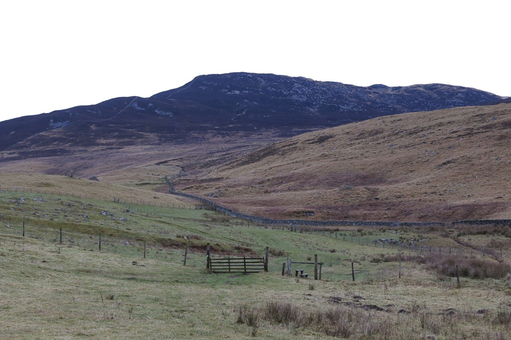 Meall an Diamh – our descent down the ridge
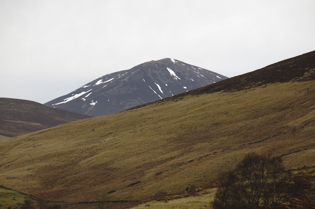 Carn Liath 875m
 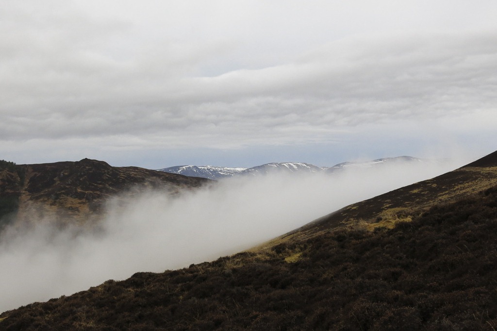 Looking towards Glen Tilt
 Roger on the track with Creag Eallaich behind
 Ben Vrackie 841m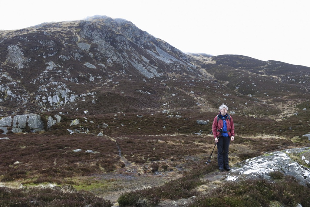
 Ben Vrackie 841m Summit
 Decent down the wall.
An Afternoon Stroll to See what we could See
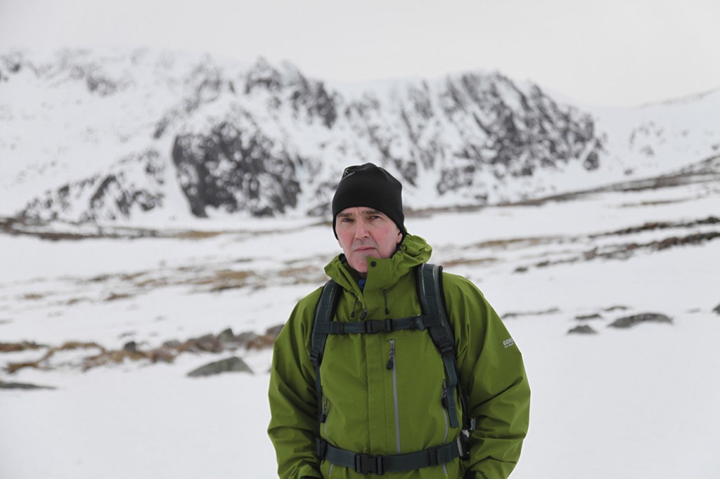
 After a pretty wet Xmas and days after we needed to get out to stretch our legs and get some mountain air. It was a bit blowy for skiing and so we thought that we would take a walk up to Coire an t-Sneachda to see what it was like. I took my big camera in my new sac. It was good we identified a few features – we think which was good. We saw the line we took with Joe in the Autumn up head wall and we could make out Pygmy Ridge. Lots of climbers we passed as we walked up.
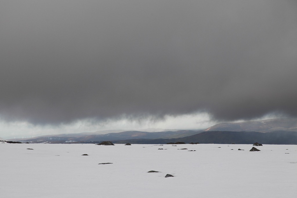



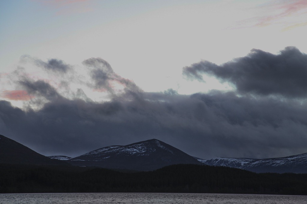 Across Loch Morlich to Airgiod-meal
A walk on the beach and a nice lunch
We were at Sue and Chris’ for Roger’s birthday. A walk on Gullane beach and on the Bents. We saw loads of Sea buckthorn growing and collected shells. After our walk we headed to the Old Club House for nacho’s and lunch. Very nice.

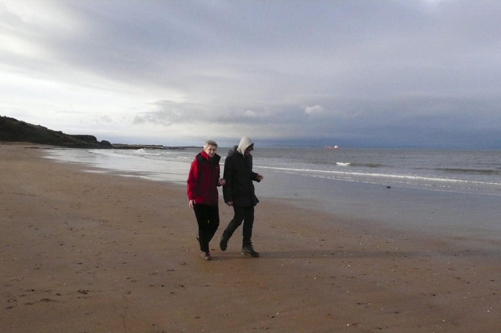
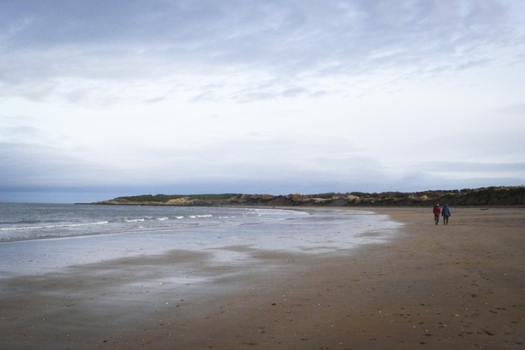
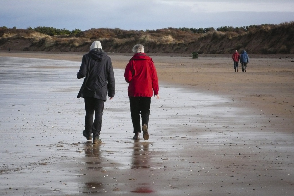
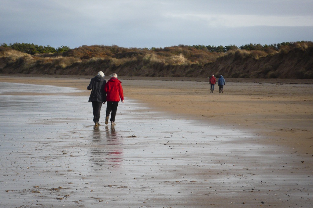
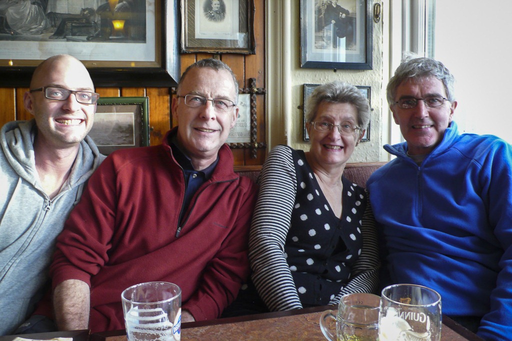
Wetter than we expected!
Boxing day and we were staying at Joe’s flat for Xmas, he has a bit of a cold to we left him for a few hours to have a leg stretcher up Helvellyn. We went up a route that we had not gone before heading from the car park up to Fisher Gill until it split, we followed the right hand gill past Brown Crag and up to White Side. By this time it was raining and I was getting very wet! We decided to carry on and luckily it started to dry up going over lower man we reached the top of Helvellyn. There was more snow than we expected. From the top we headed back to the car and home to Joe’s flat and Joe.
 Looking towards Castle Rock
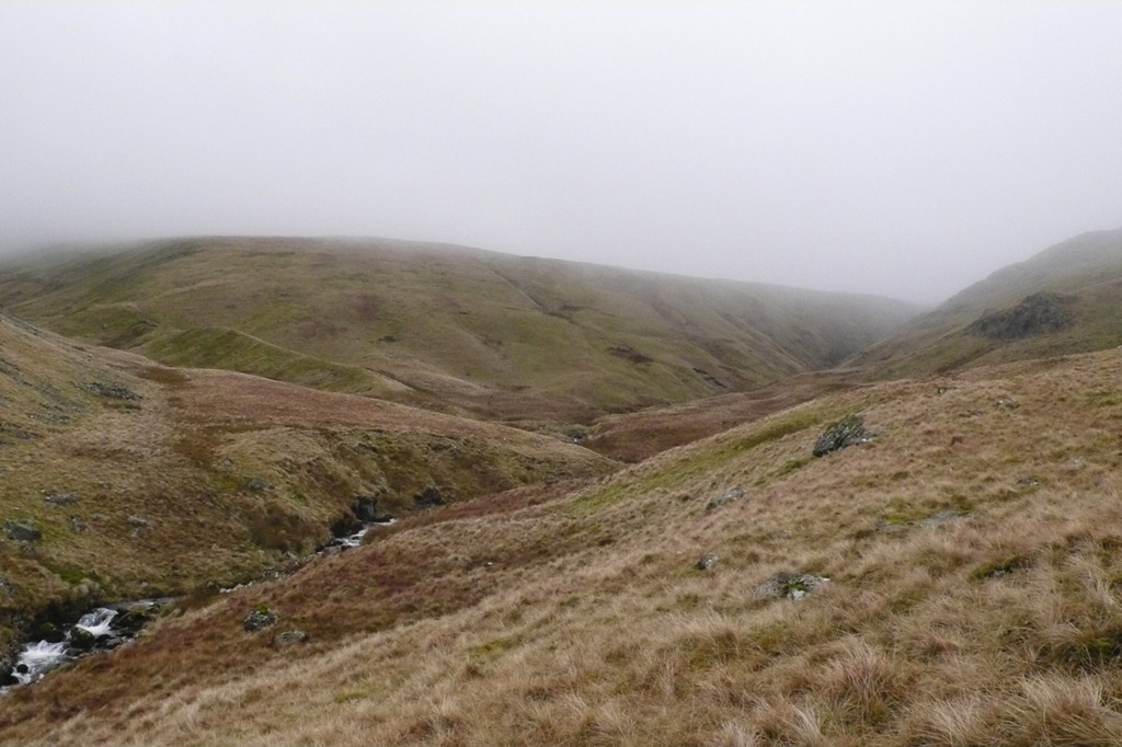 Fisher Gill
 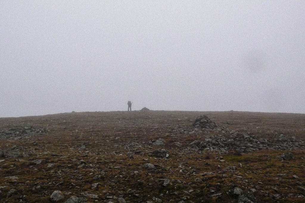 Heading to White Side in the mist
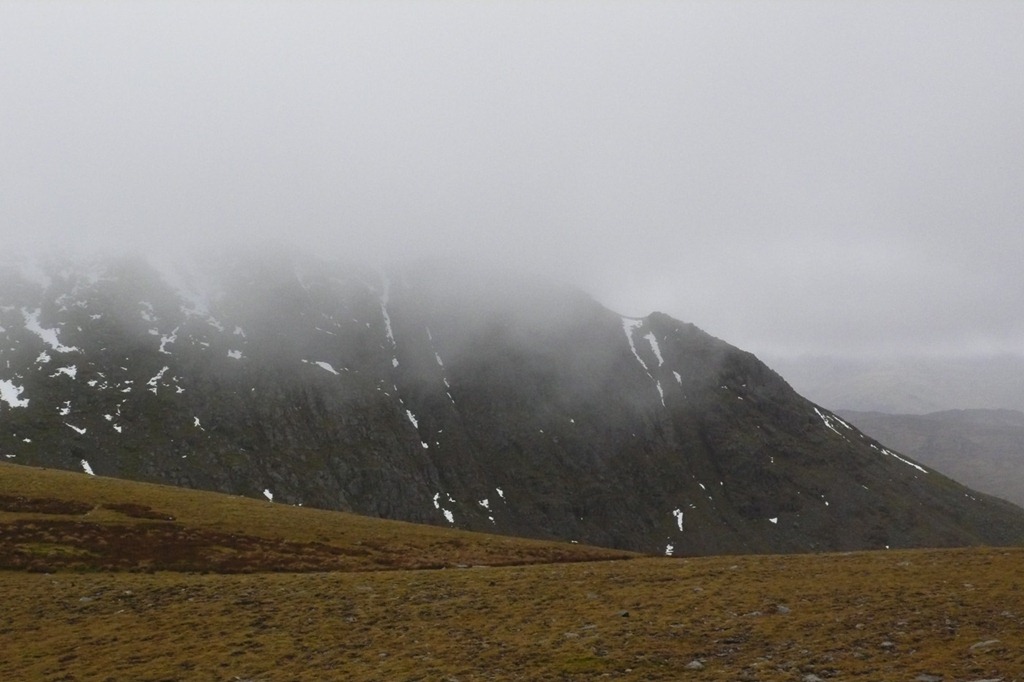 Brown Cove Crag
 Roger heading up Lower Man with White Side in the back ground to the left.
 Brown Cove Crags
 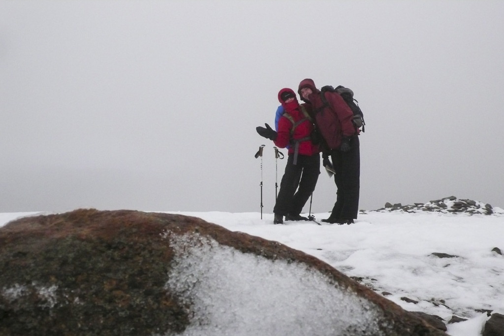 The Top of Lower Man
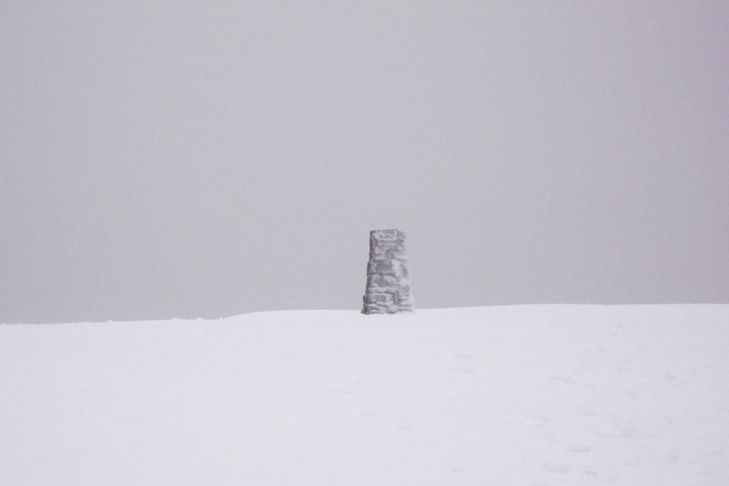 Helvellyn
 Looking across Thirlmere to Wythburn Fells

White Side from the way down from Helvellyn
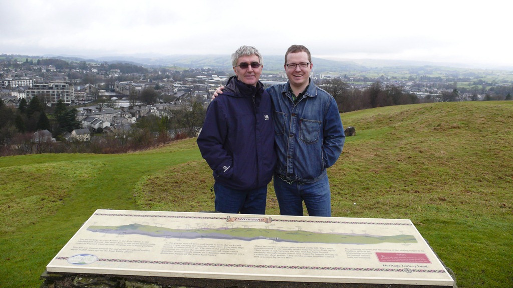
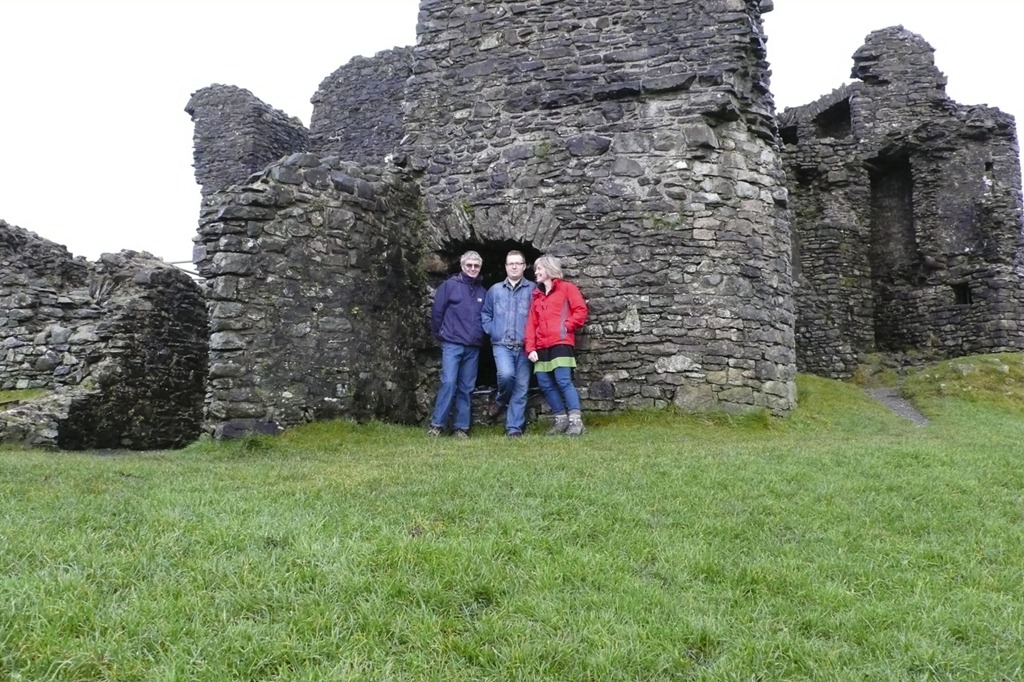
Christmas Day a short stroll to Kendal Castle



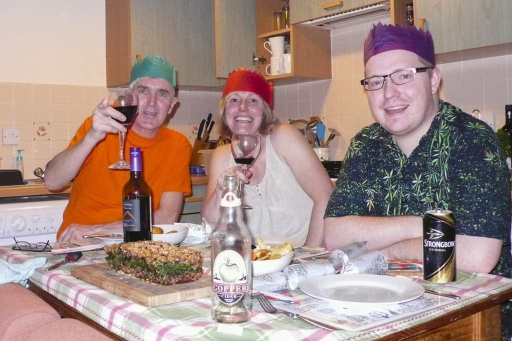
And then back to Joe’s for Christmas dinner
Calder Horseshoe
Blakeley Raise 389m Grike 488m Crag Fell 523m Whoap 511m Lank Rigg 541m Kinniside 375m Latter Barrow 354m Swarth Fell 335m Burn Fell 320m
We were staying in Kendal with Joe after a couple of days in Yorkshire to celebrate Mum and Dad’s 60th wedding anniversary so it was nice to head out to the fells for a bit of a leg stretch. It was a fairly remote walk covering 9 tops and including a river crossing. The book said 4 hours but we took 4 and 3/4 but we didn’t hurry. It was very wet under foot but there had been a lot of rain.
 looking up Ennerdale Haystacks, Brandreth, Pillar, Steeple and black Crags
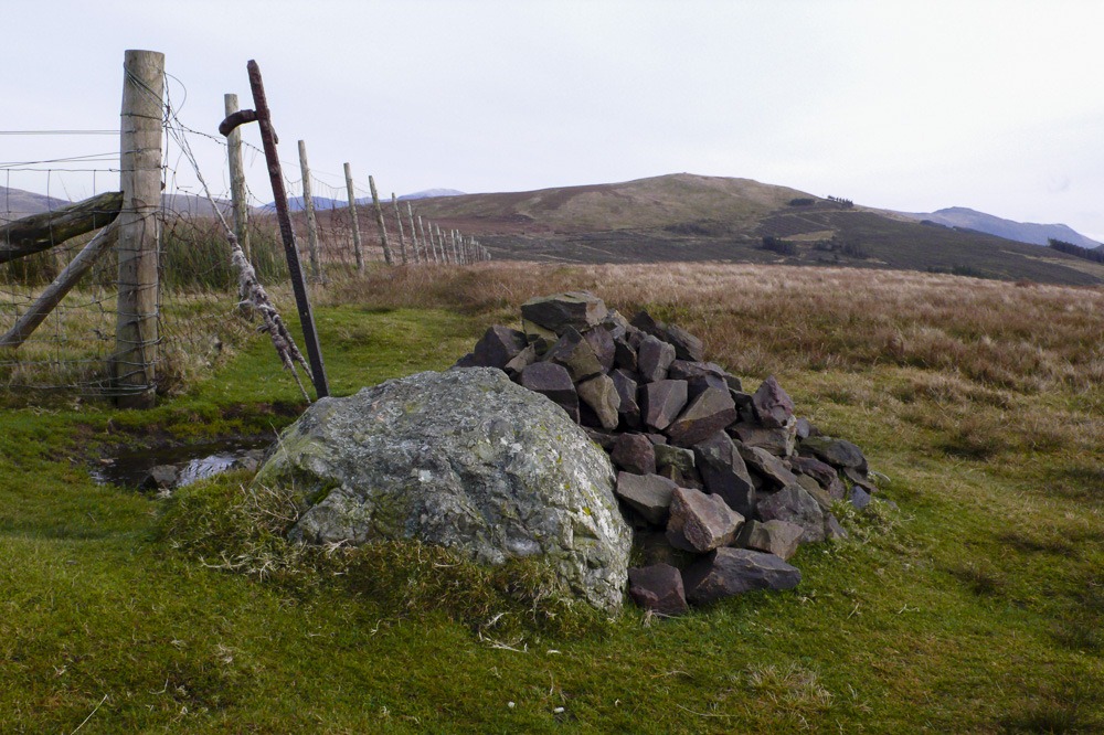 Grike 488m from Blakeley Raise 389m
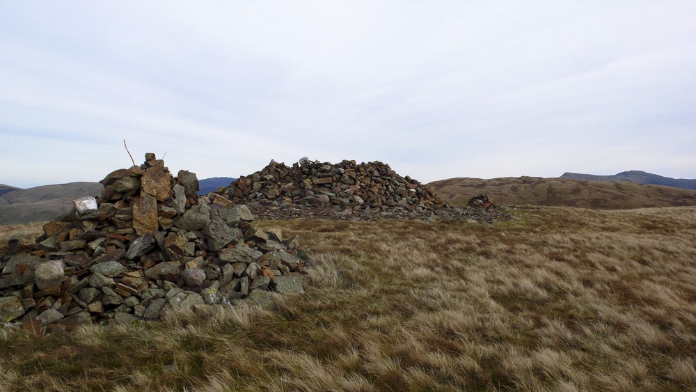 Crag Fell 523m from Grike 488m
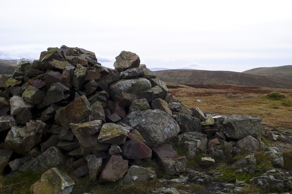 Whoap 511m from Crag Fell 523m
 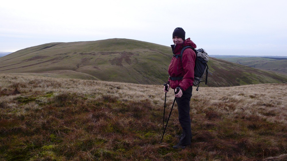 Lank Rigg 541m from Whoap 511m
 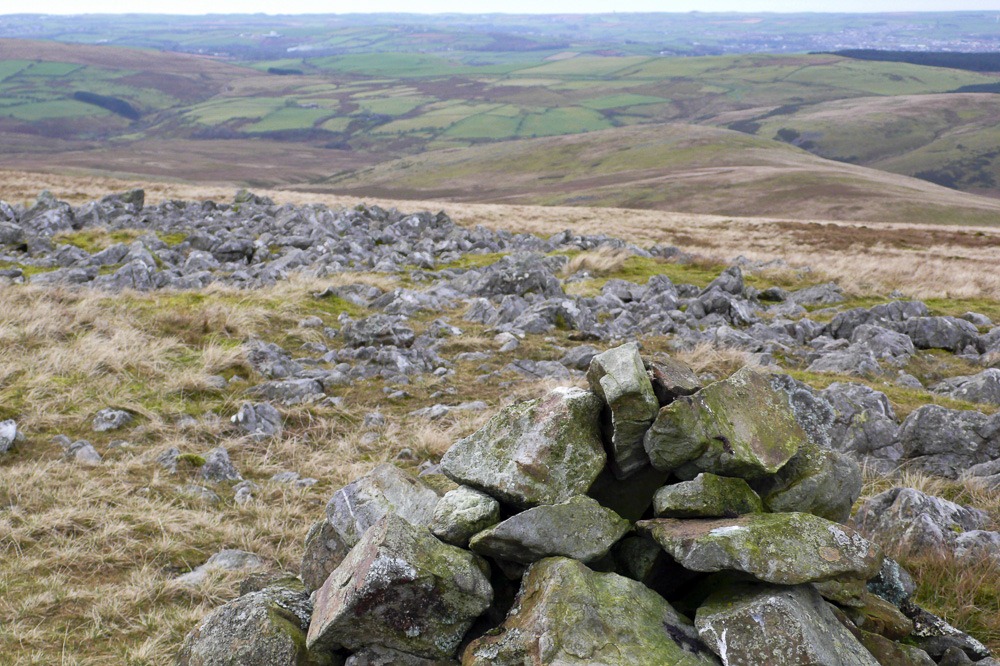 Kinniside 375m from Lank Rigg 541m
 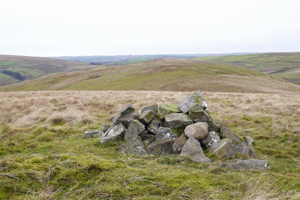 Latter Barrow 354m from Kinniside 375m
 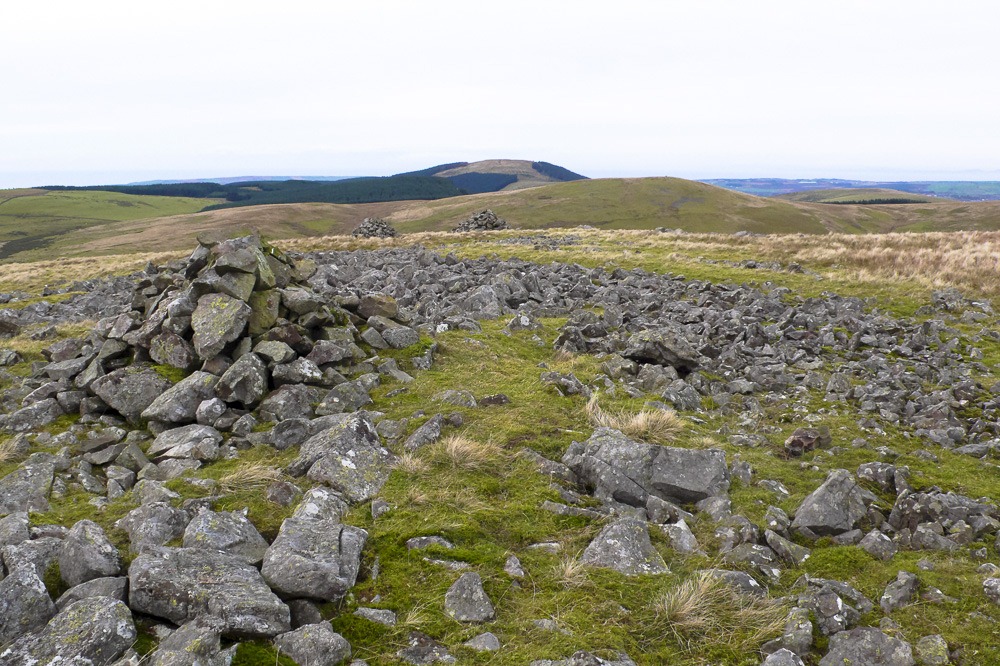 Swarth Fell 335m from Latter Barrow 354m
 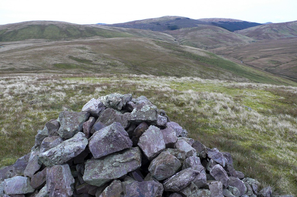 Burn Fell 320m from Swarth Fell 335m
 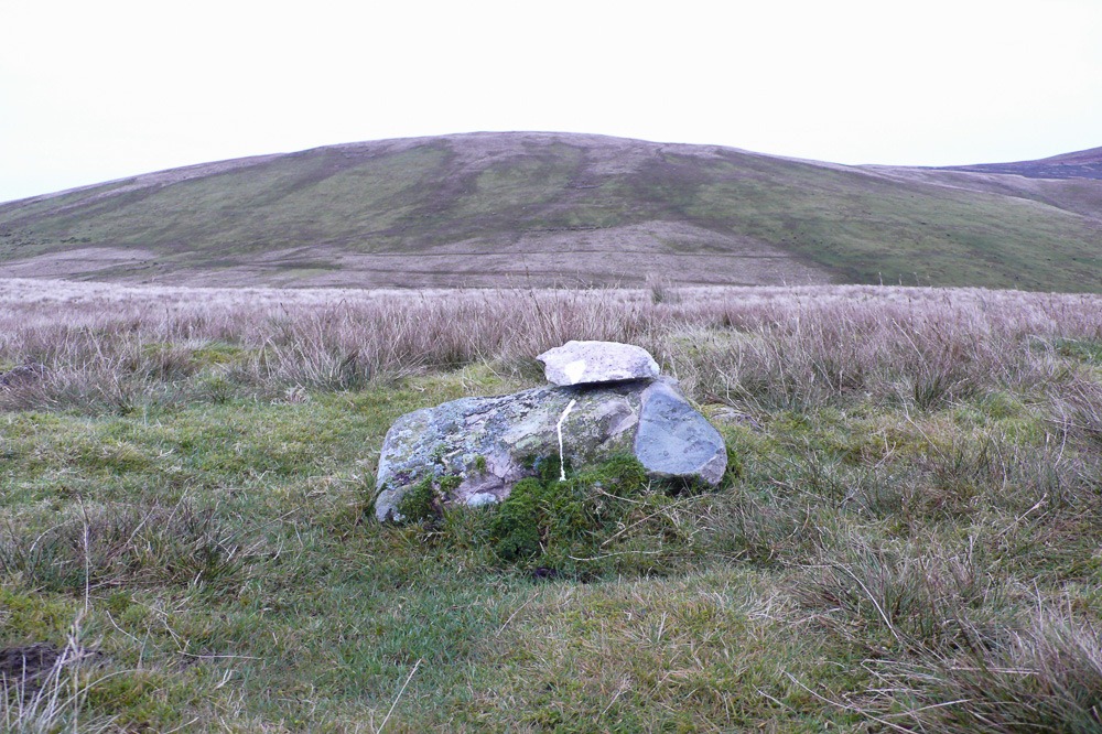 Blakeley Raise 389m from Burn Fell 320m


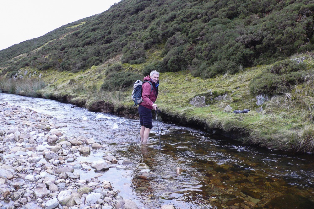 Fording the river Calder between Latter Barrow and Swarth Fell
 Mountain Days and Photo Nights